


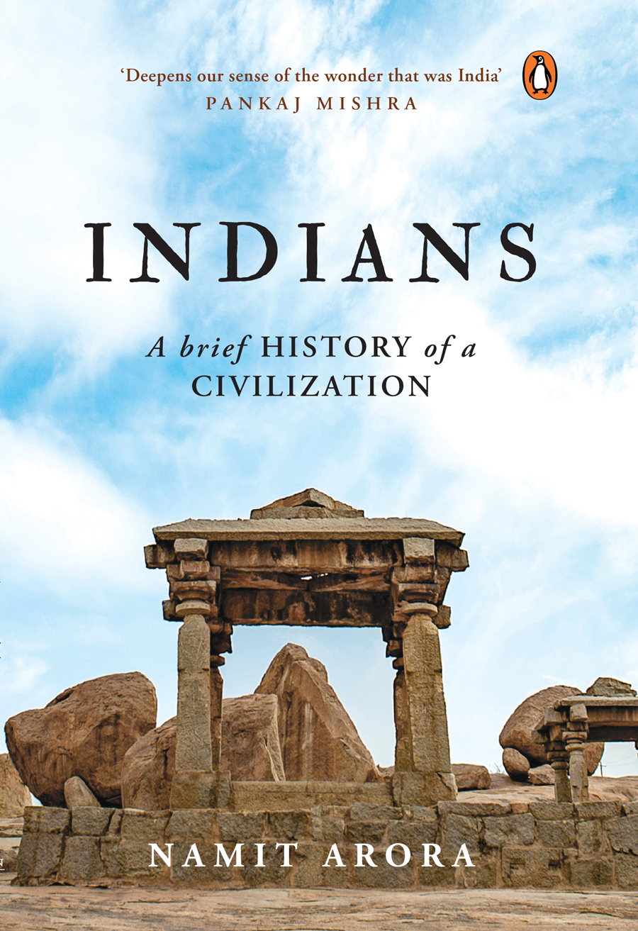


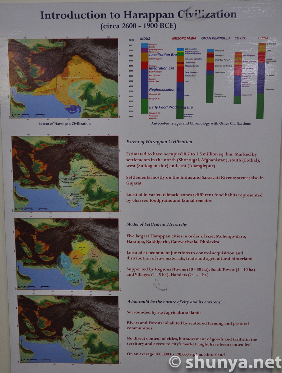
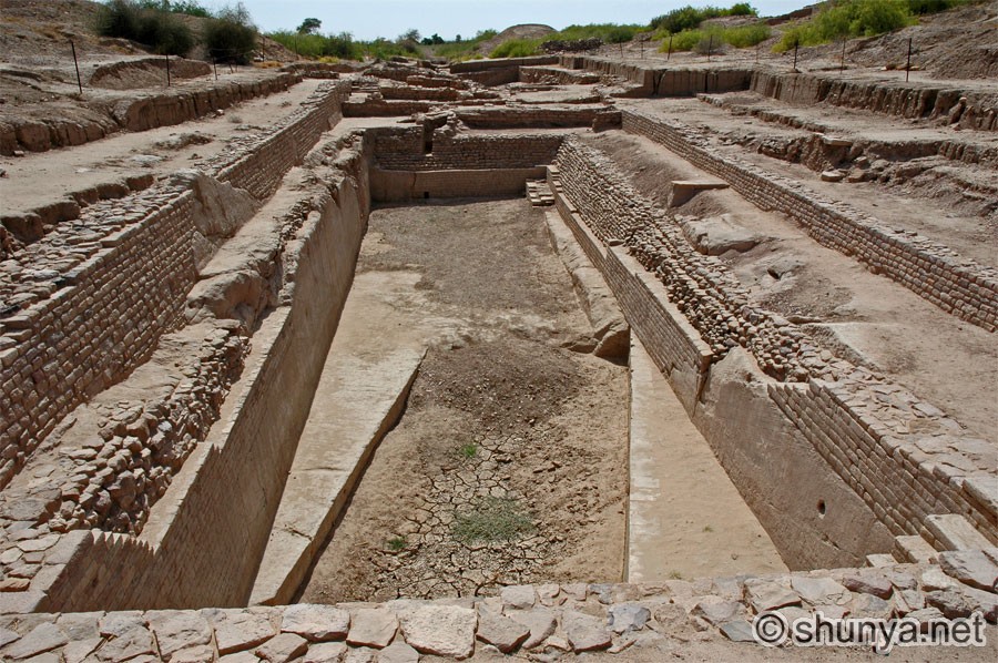
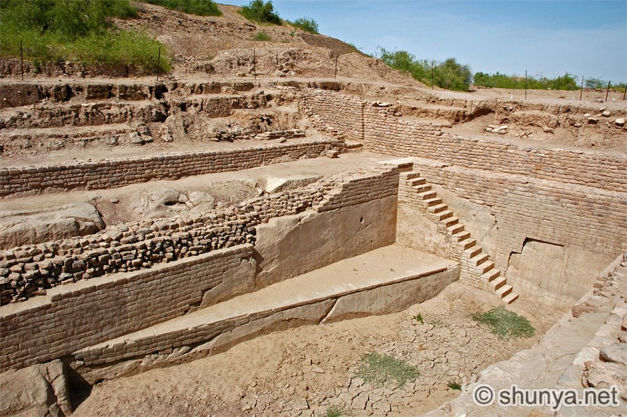
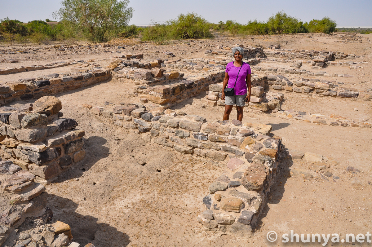
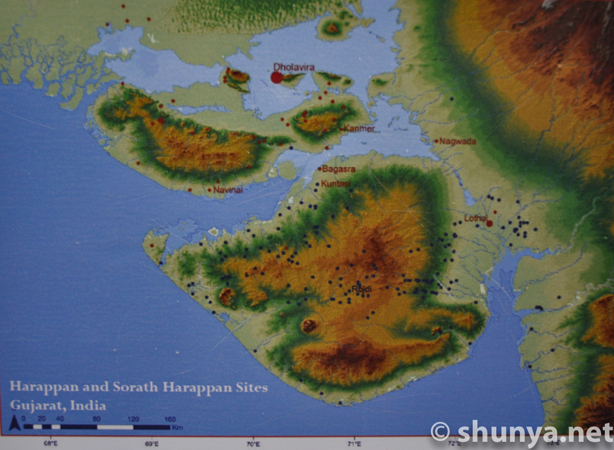
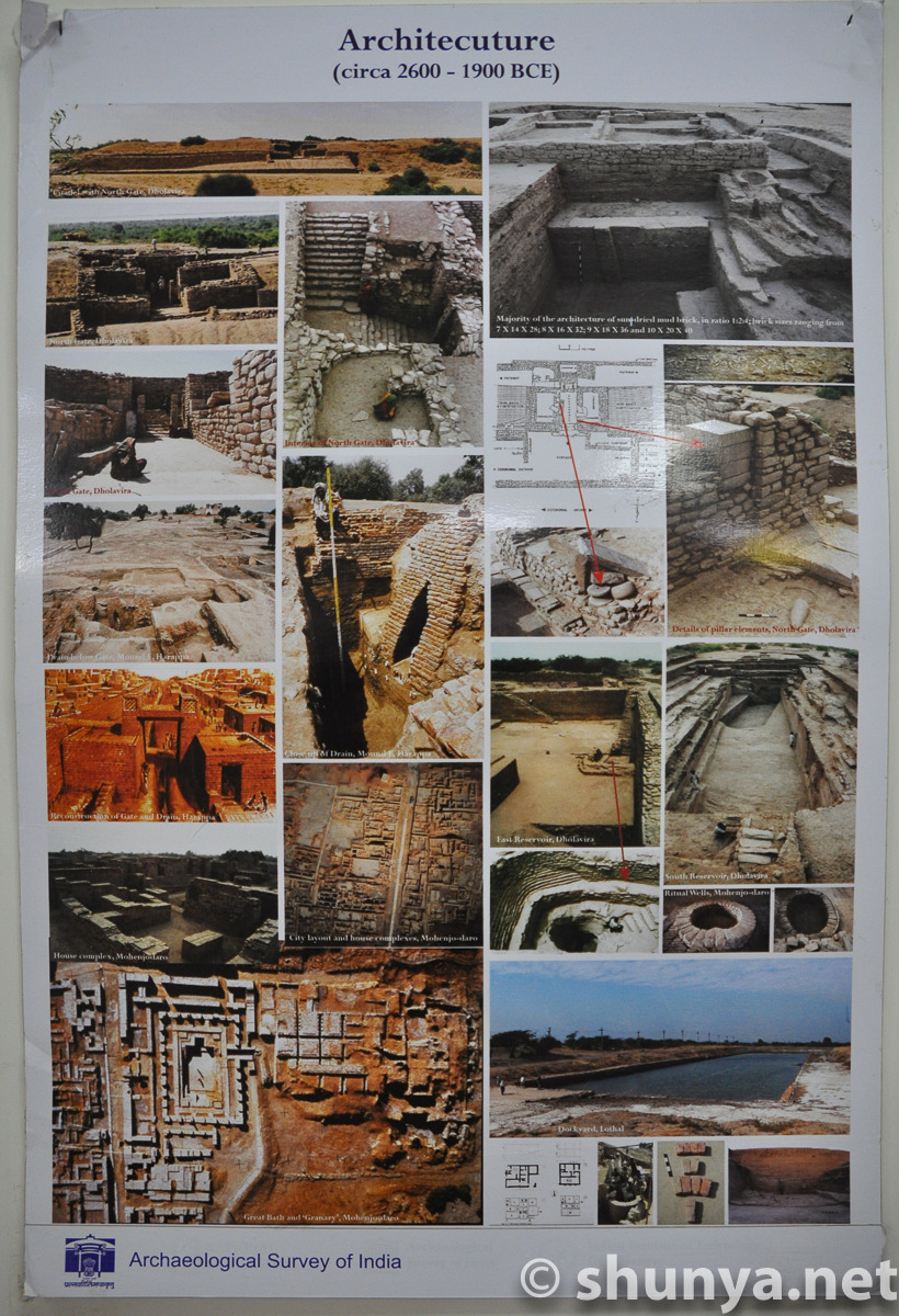
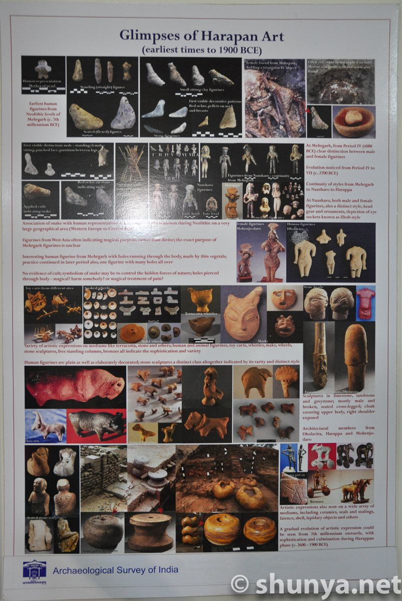
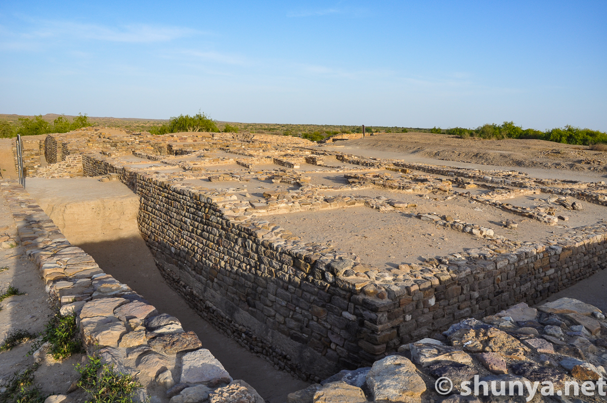
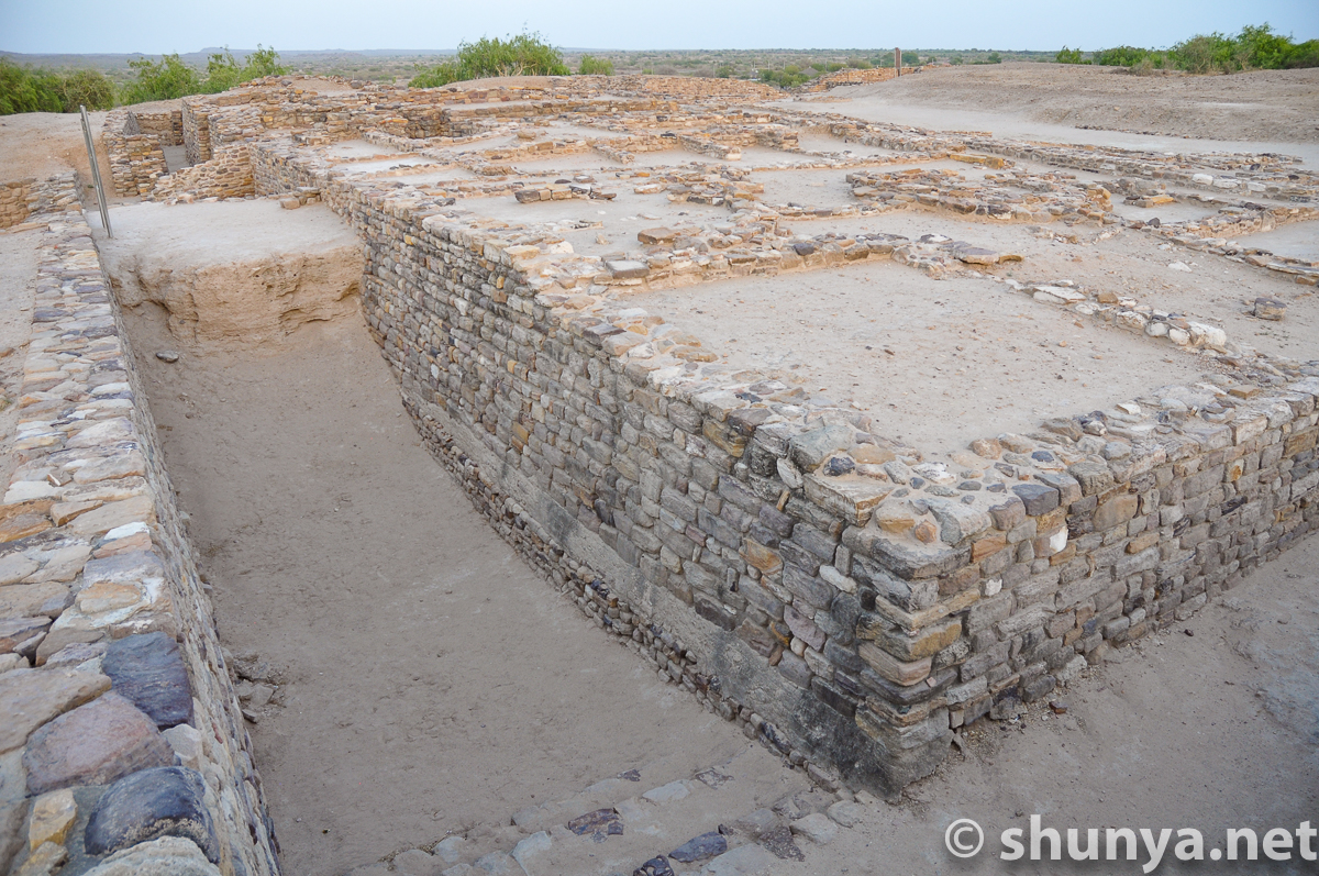
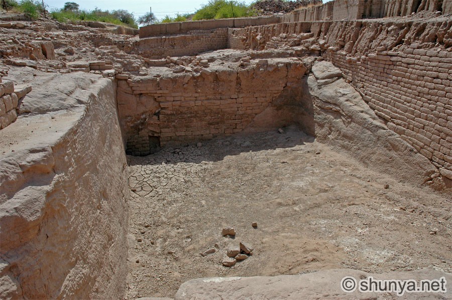
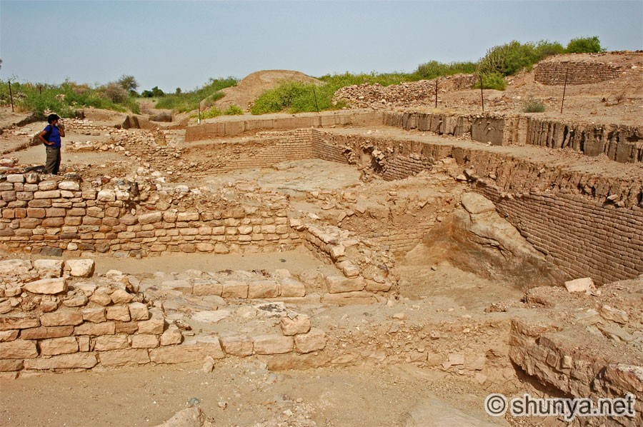
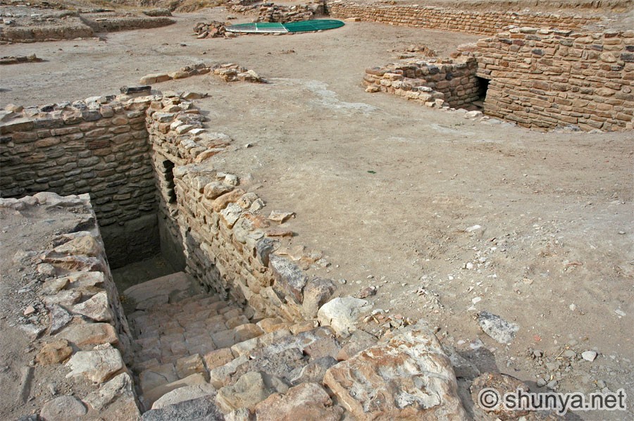
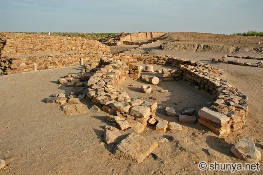
"I begin with Dholavira, a Bronze Age metropolis of the Harappan Civilization in the Rann of Kutch, discovered only in 1967. Thriving between 2600–1900 BCE, it is best known for its water harvesting and fine reservoirs. I examine the ancestry of the Harappans, what they excelled at and what distinguishes them from other civilizations of the day—such as not turning up any evidence of temples, wars or armies, and seemingly possessing a flatter social class hierarchy. I consider the languages they likely spoke, their undeciphered script, theories about their demise, and how their legacy lives on today in our lives. I talk to the ecologically vulnerable locals from the nearby village of Dholavira, after which the prehistoric site is named and whose residents too had lived with ecological vulnerability.
"After the decline of Harappan cities, Aryan migrants from Central Asia arrived by 1500 BCE and mixed with the locals. A nomadic-pastoralist people, the Aryans brought a proto-Sanskrit language, an early version of the Vedas, new forms of social hierarchy and the horse. After a gap of more than a thousand years since the fall of the Harappan cities, the next cities arose mostly in the Gangetic Plain in the first millennium BCE, moving India from prehistory into the age of decipherable texts, and the time of the Buddha, Mahavira and the early Upanishads."
—From the Introduction of Namit Arora's Indians: A Brief History of a Civilization.
Through the Rann, approaching Khadir Bet |
|||
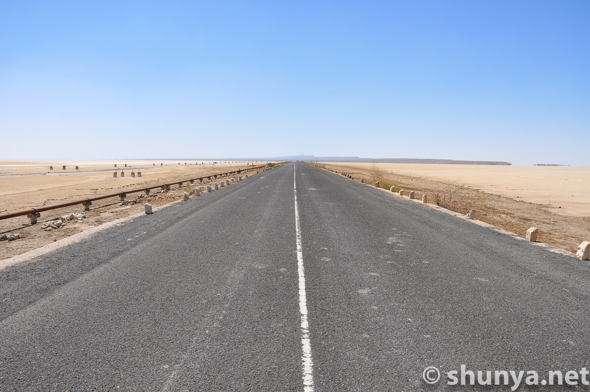
The road to Dholavira
|
|
|
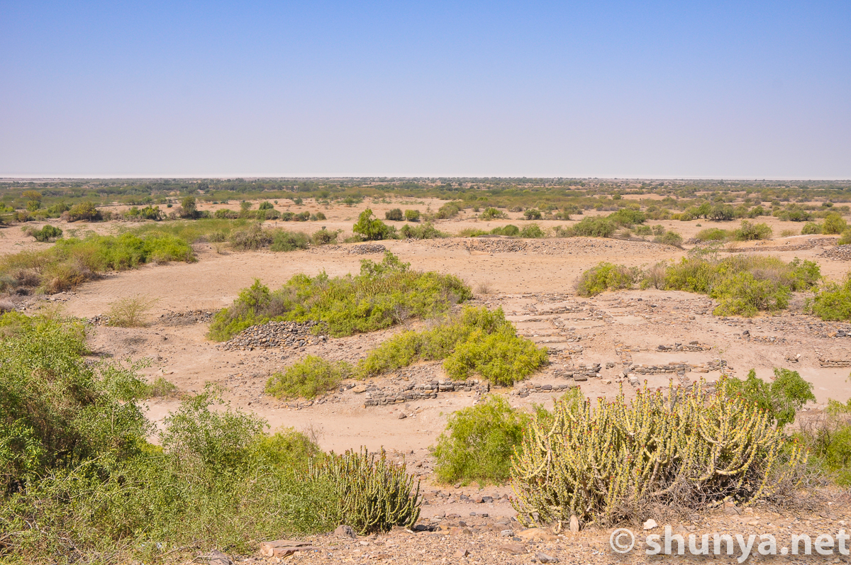
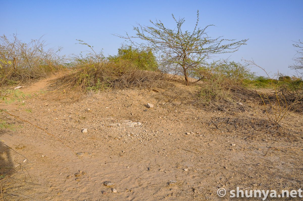
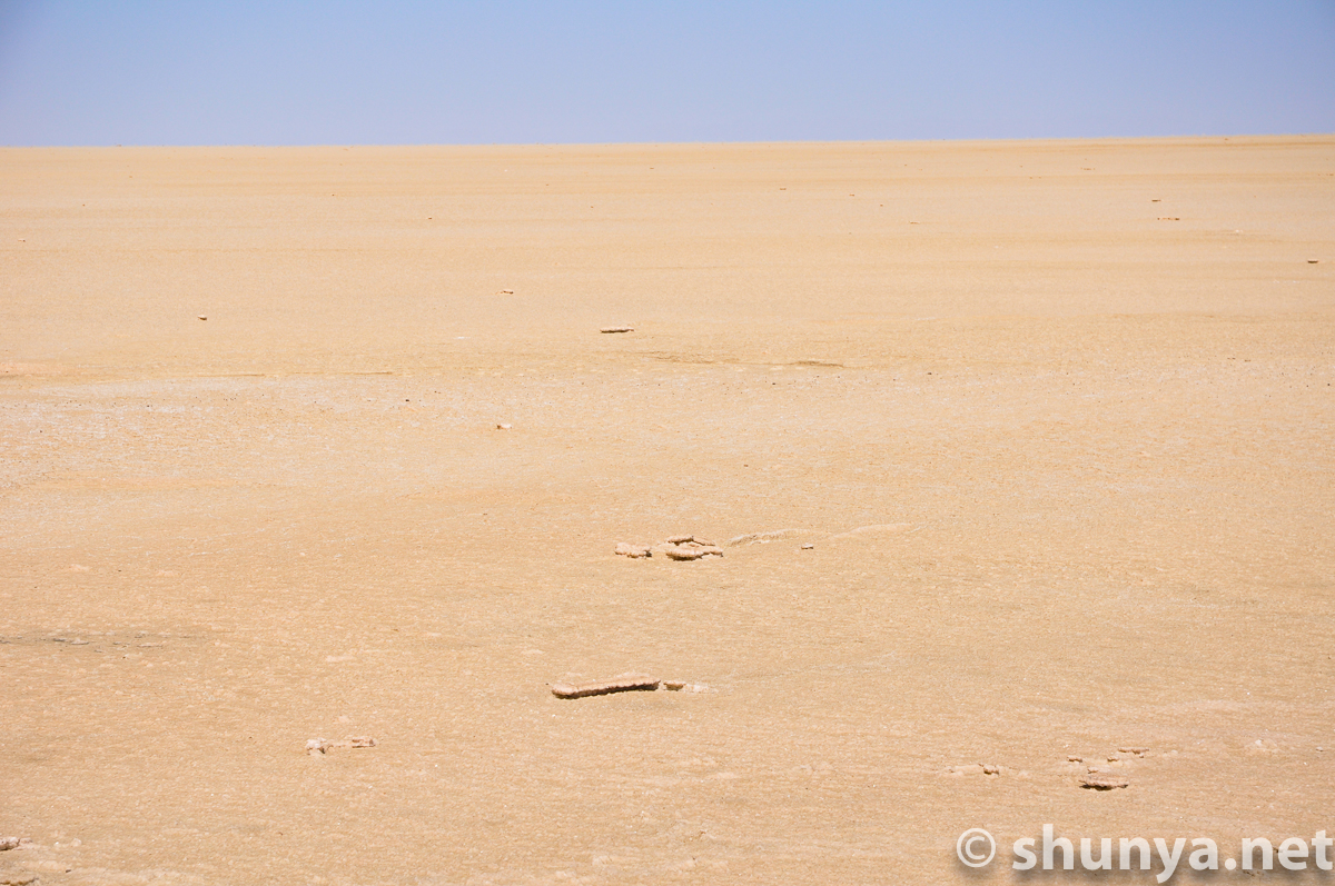
Expansive views
|
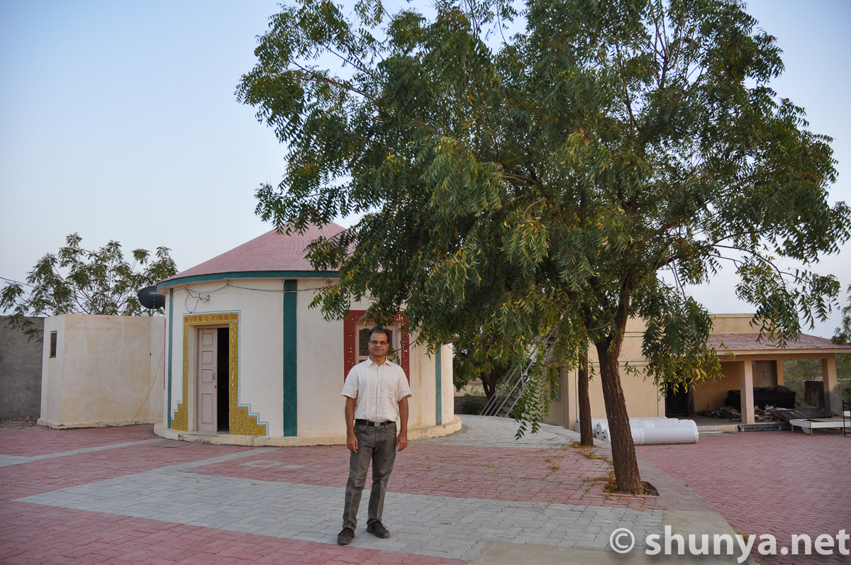
Bhunga-style guest house
|
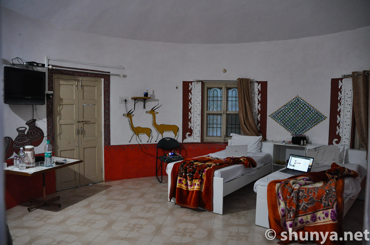
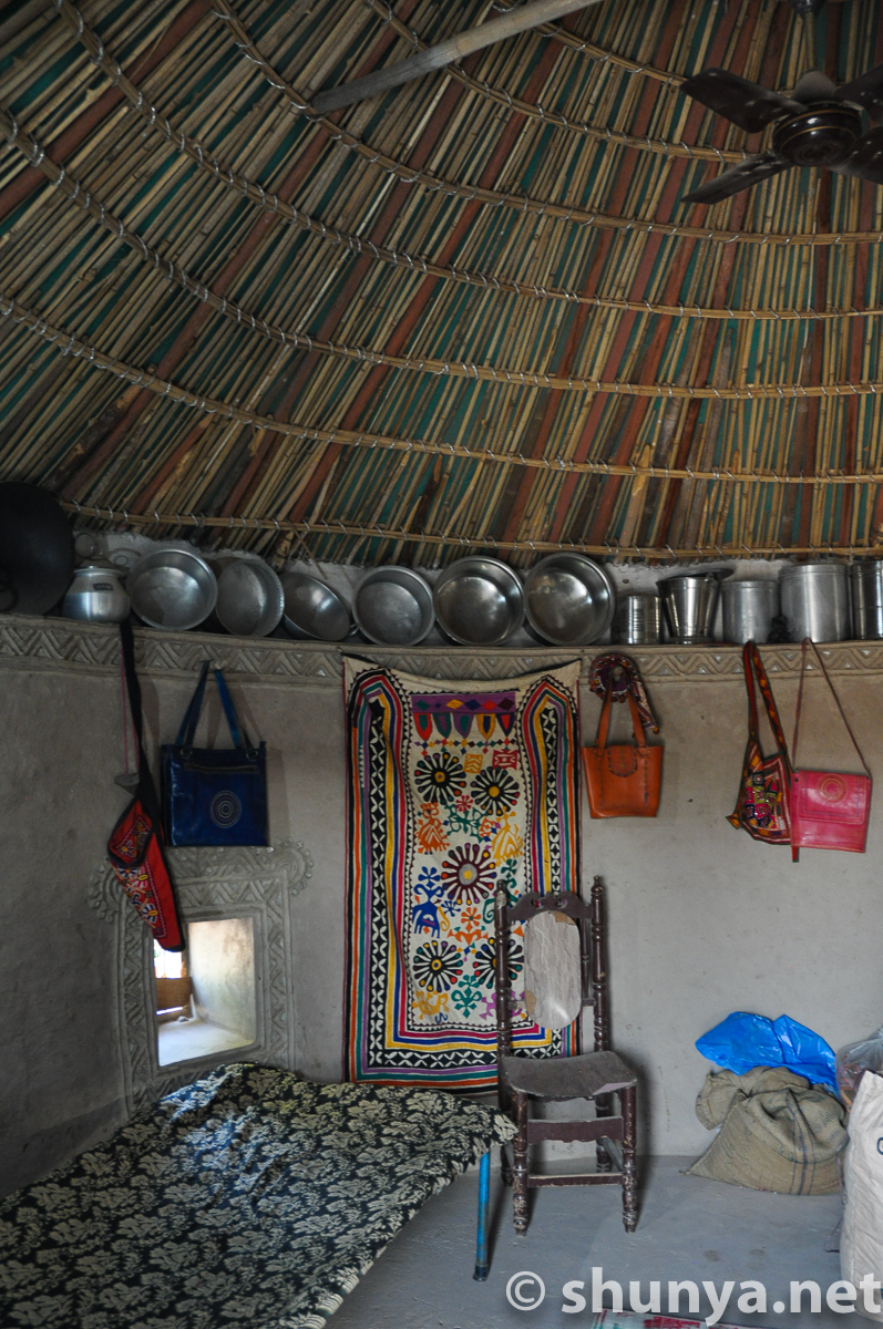
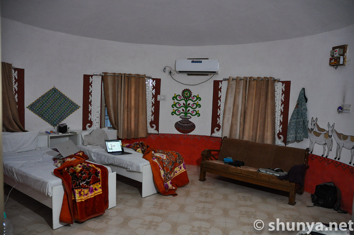
Bhunga interior (more)
|
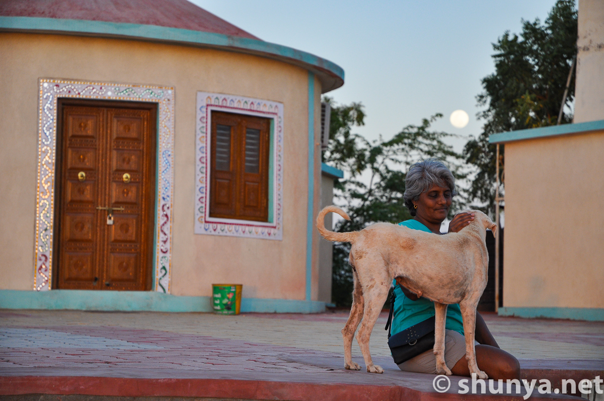
Moonrise over Dholavira
|
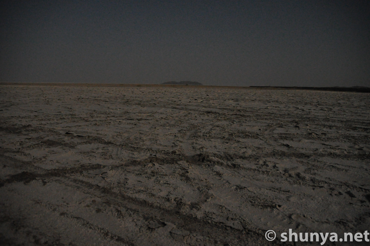
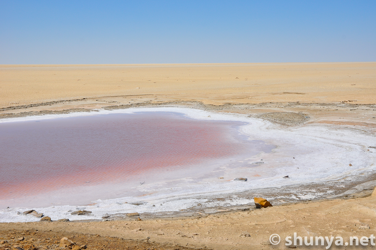
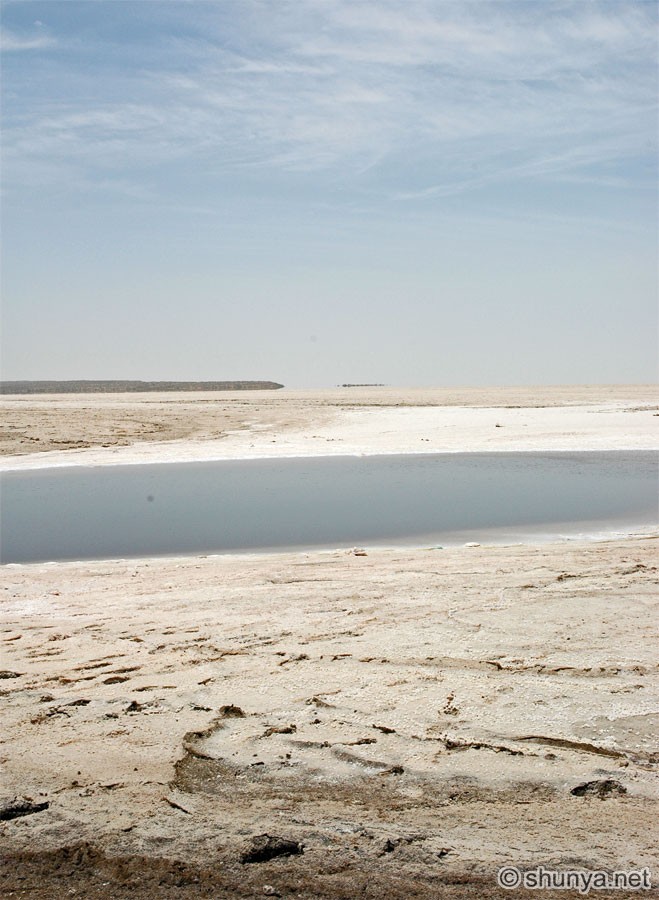
Moonlit Salt on the Rann
|
|
|||
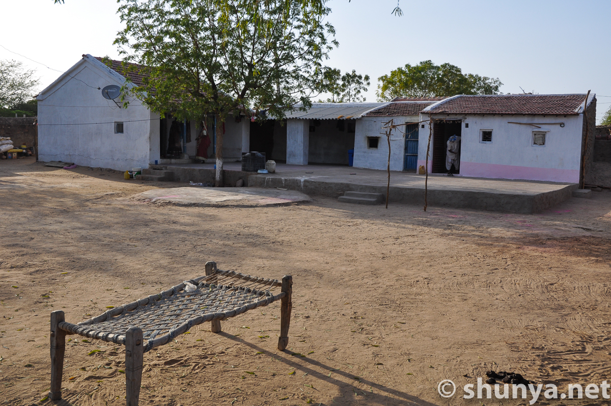
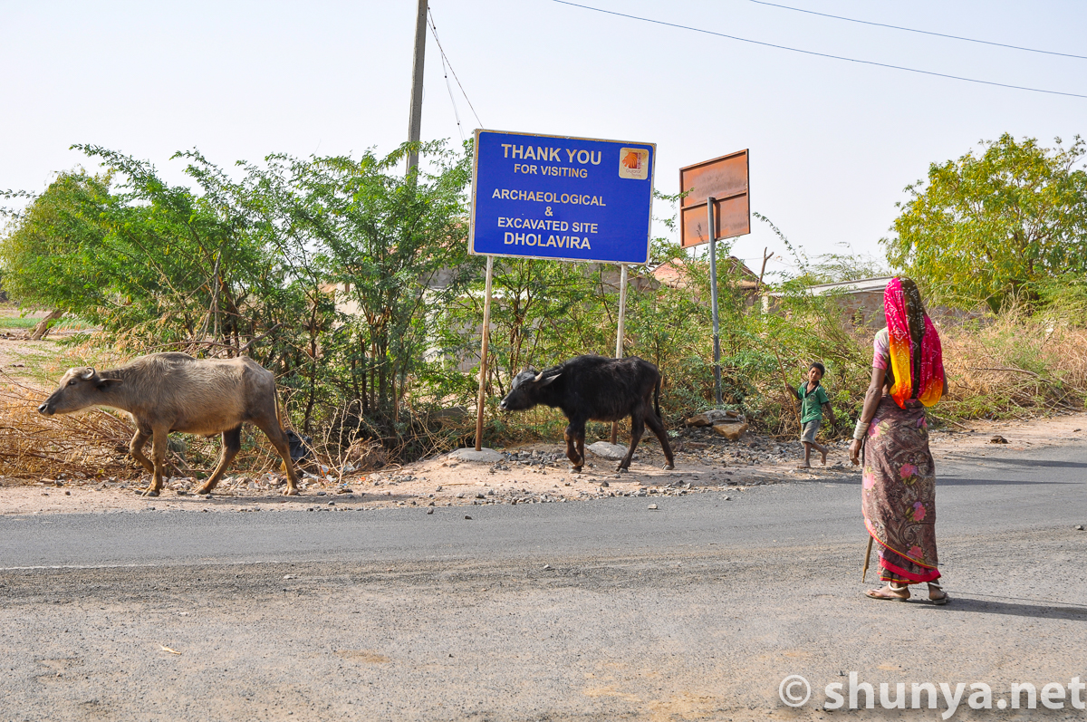
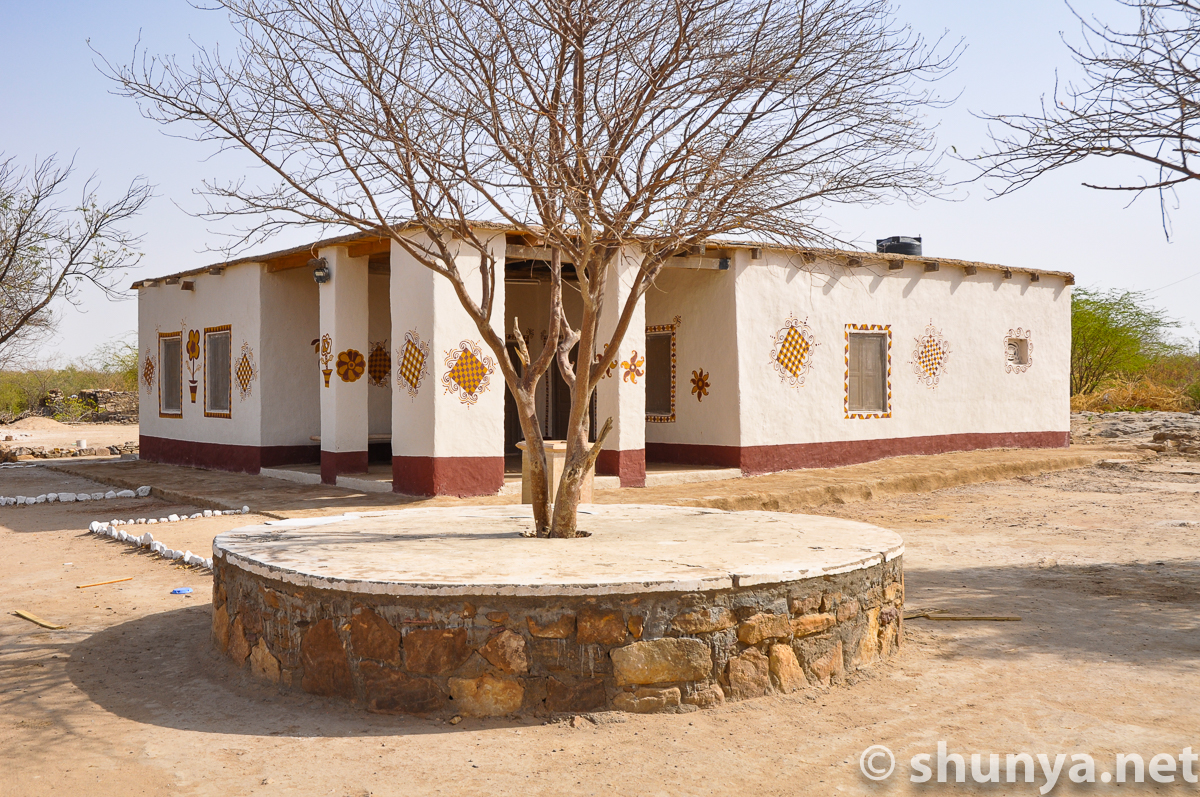
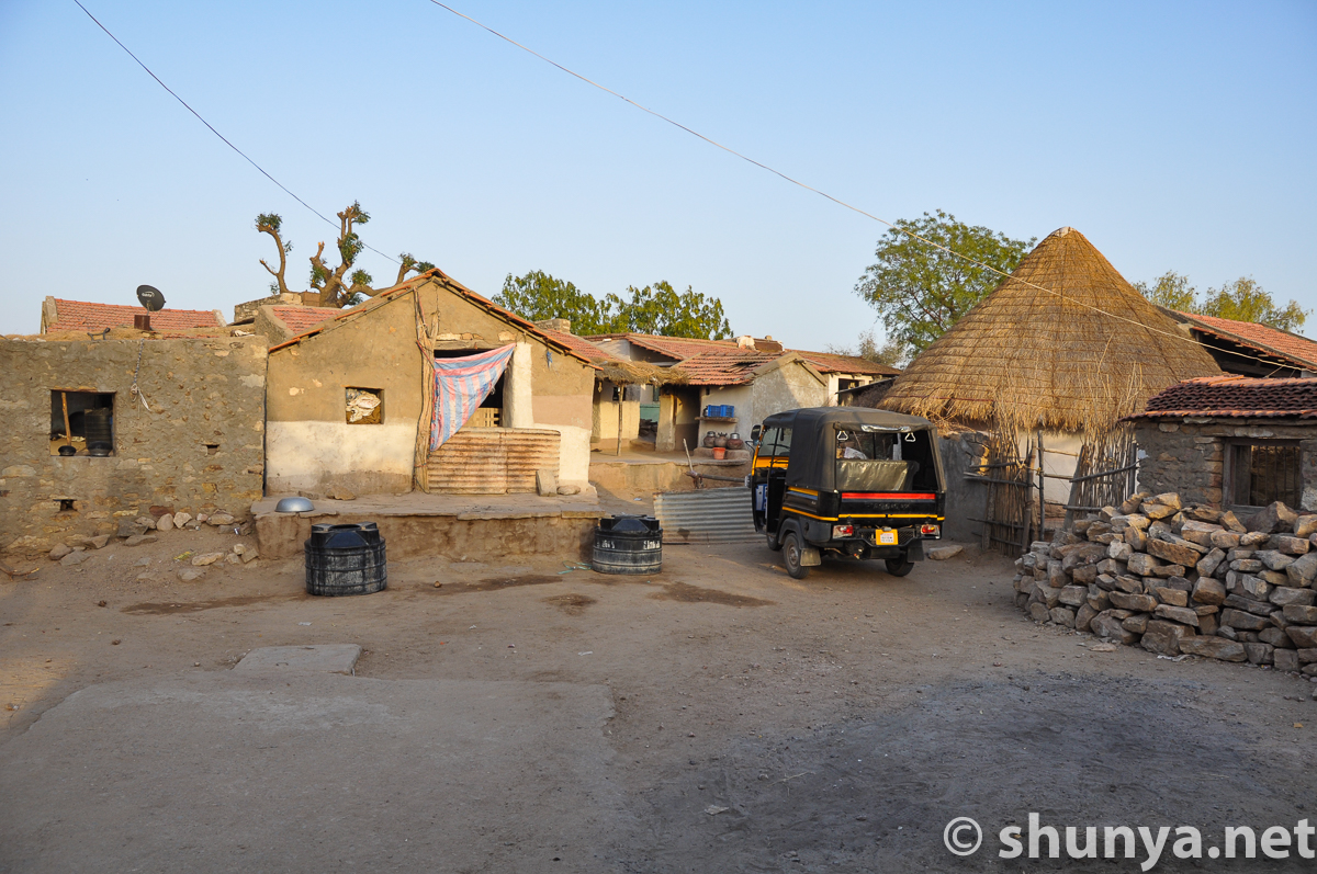
Dholavira village, one km from the ruins |
|||
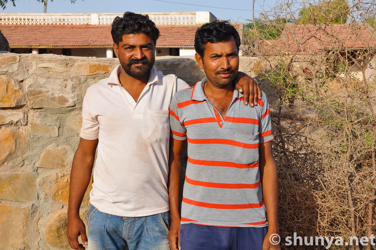
Buddies
|
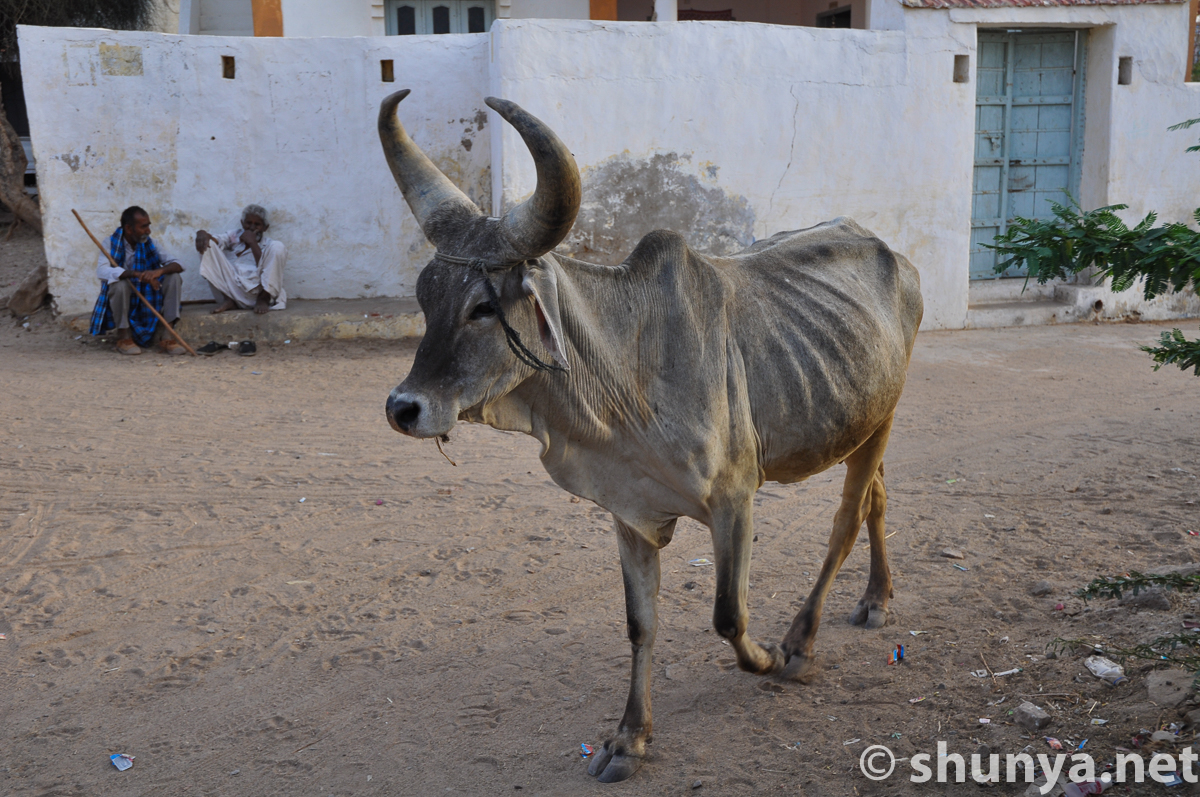
Big-horned Zebu cattle
|
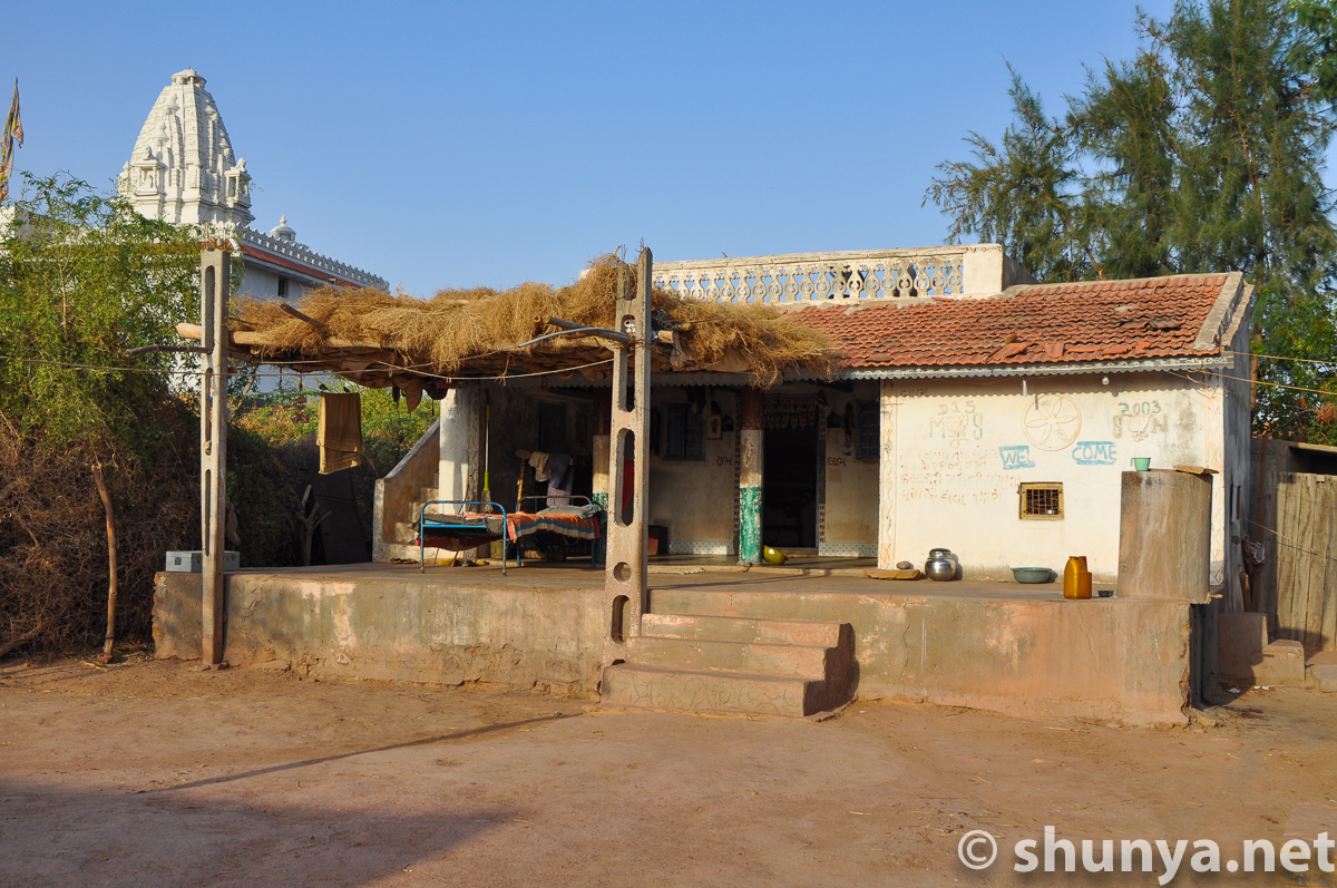
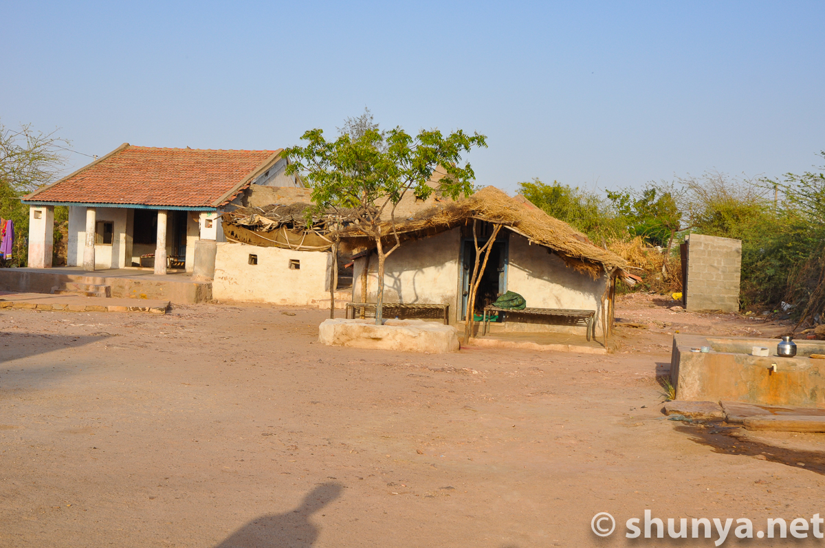
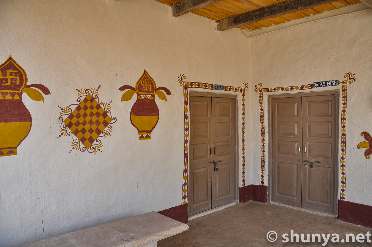
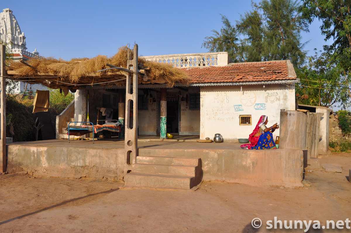
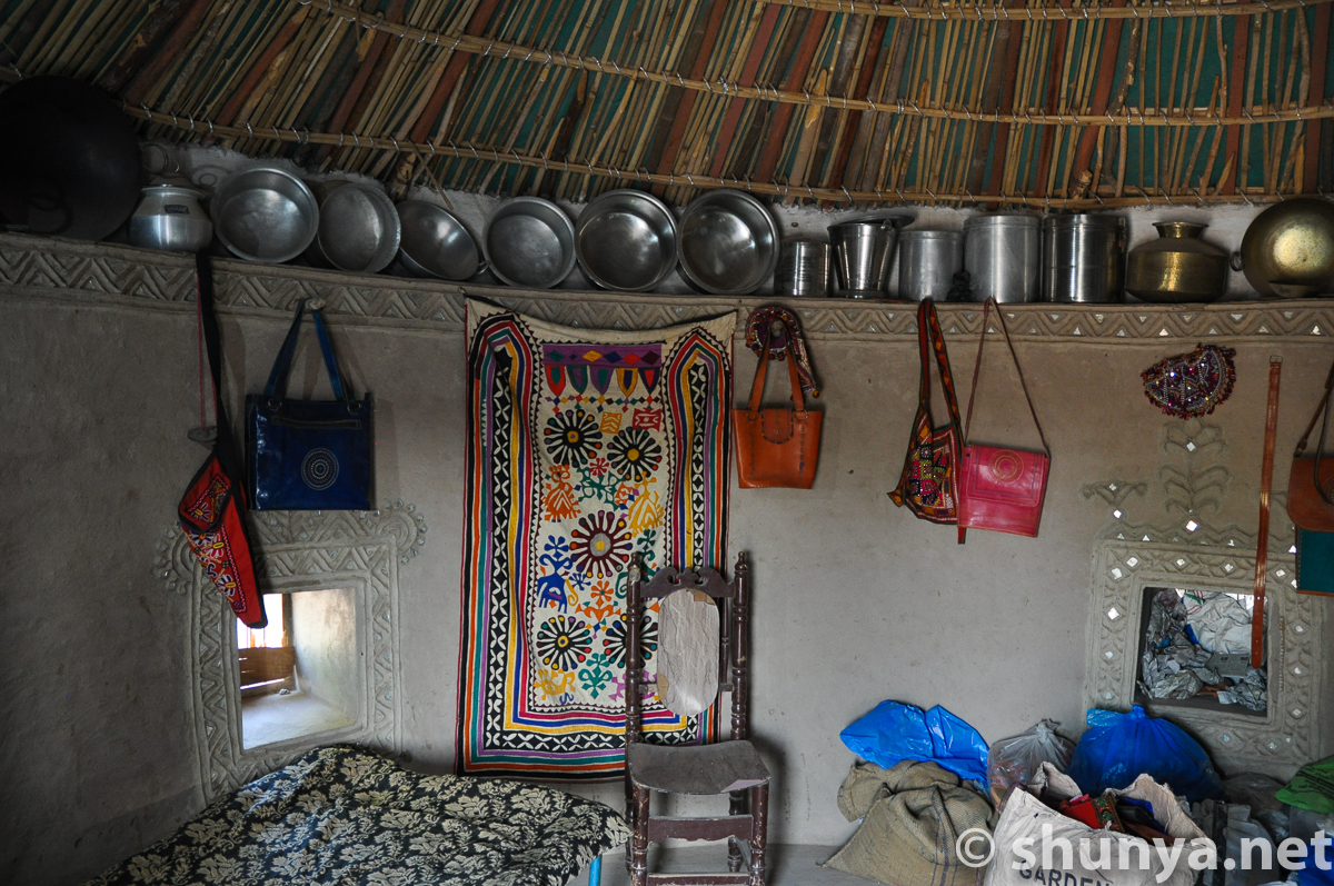
Village home (more)
|
Locked home of a
|
Village home
|
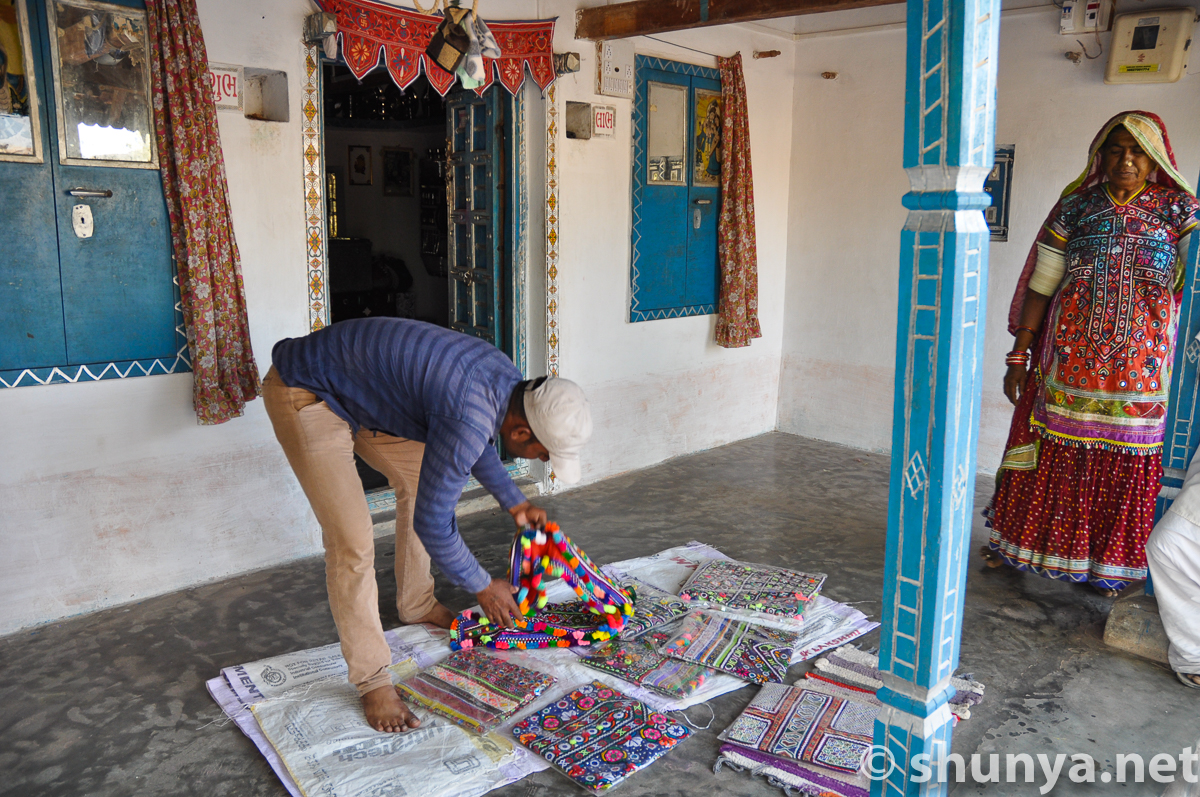
An artisan's home
|
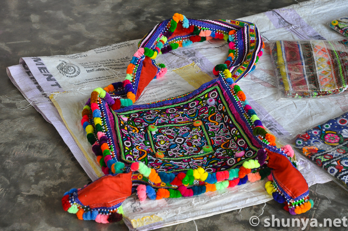
Handcrafted bag for sale
|
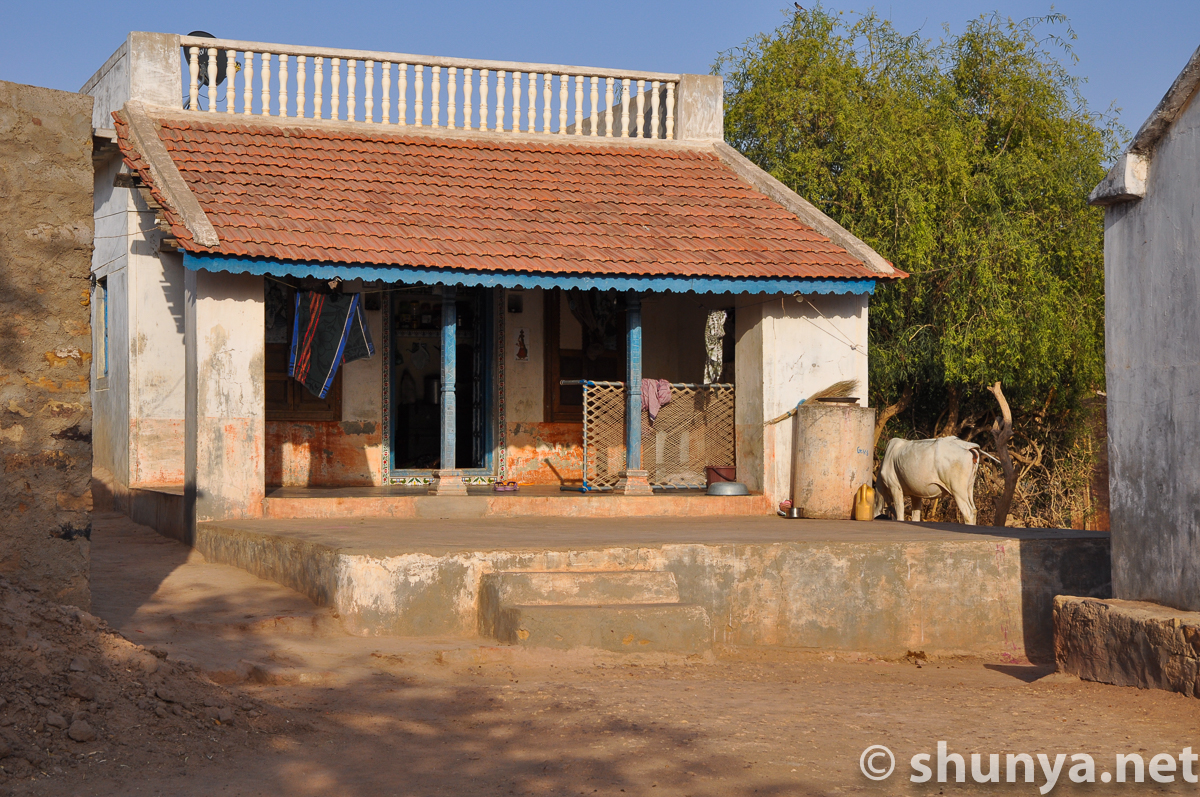
Village home
|
Traditional home (more)
|
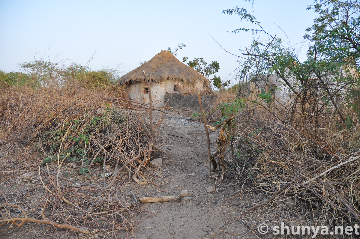
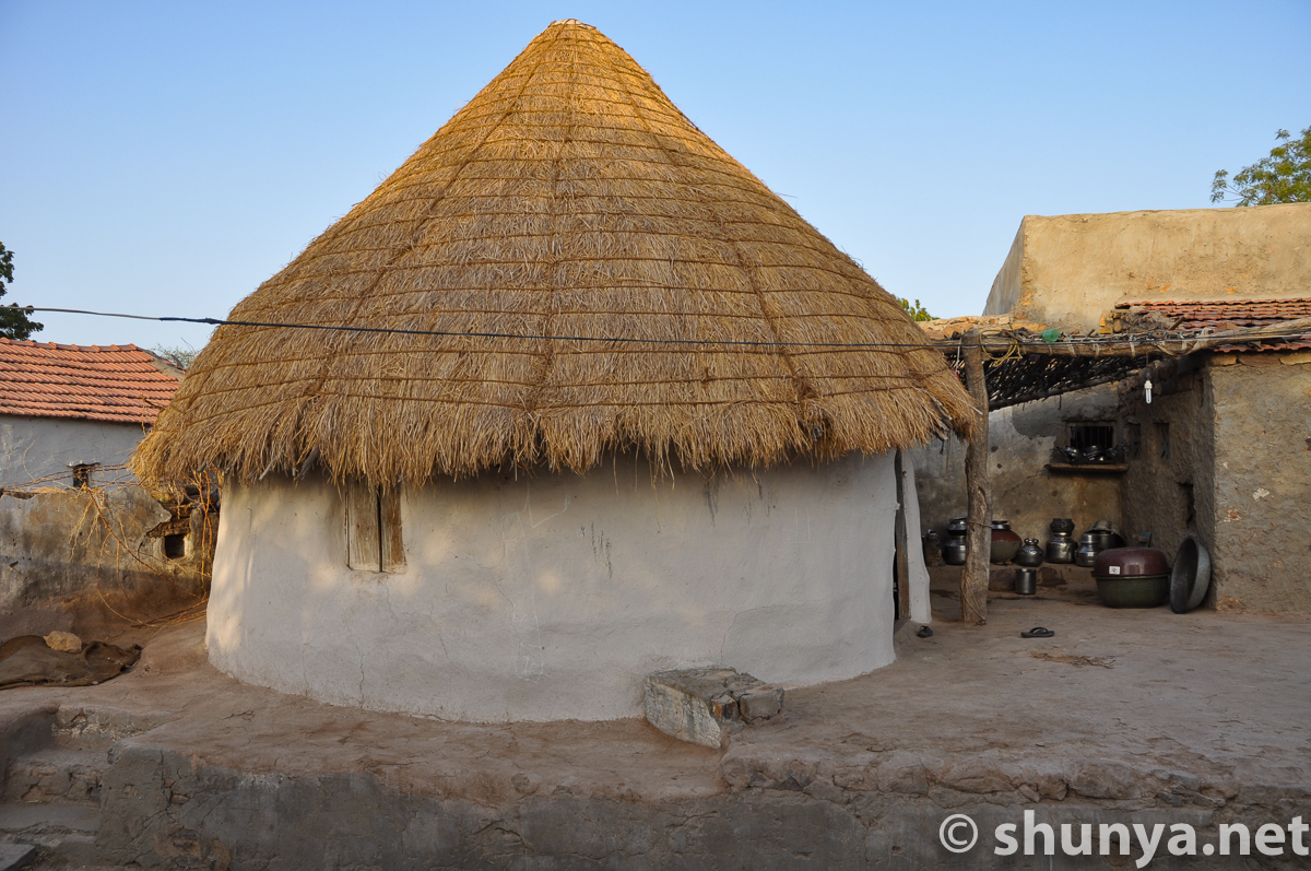
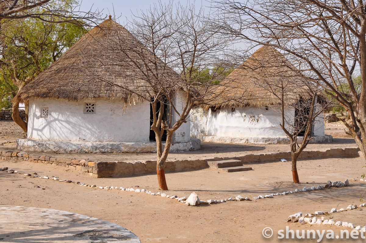
Tradional bhunga-style
|
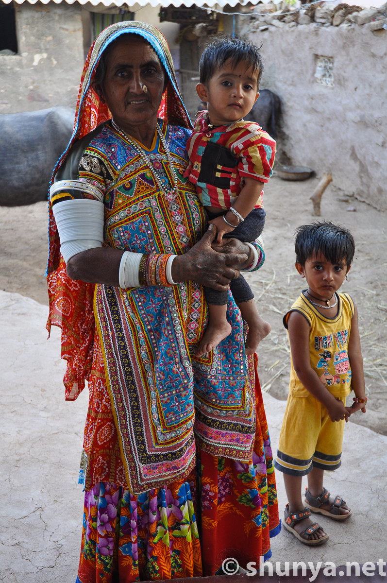
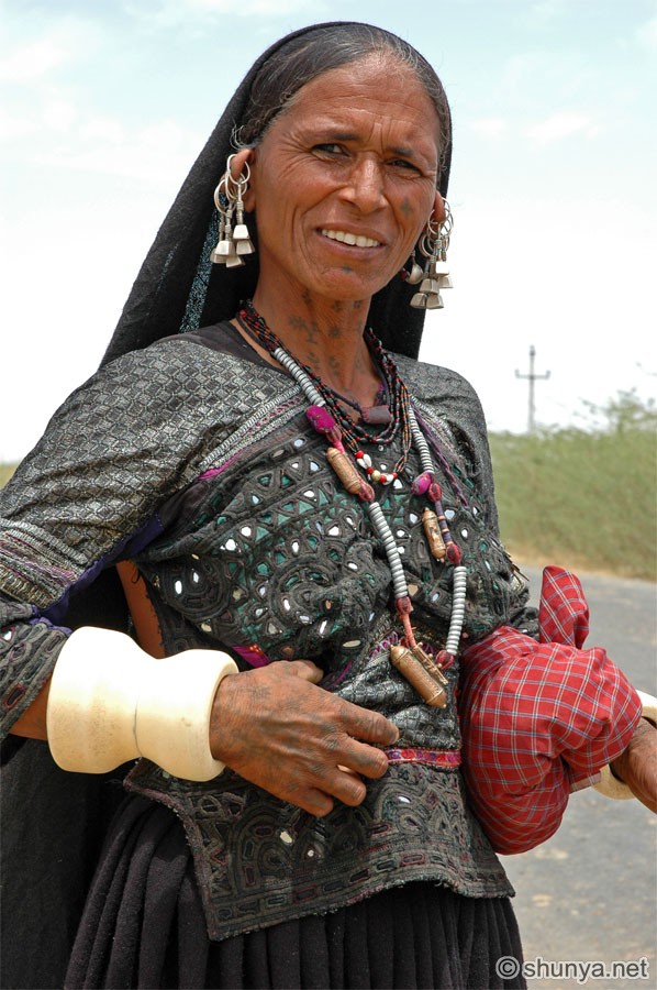
Grandma with kids
|
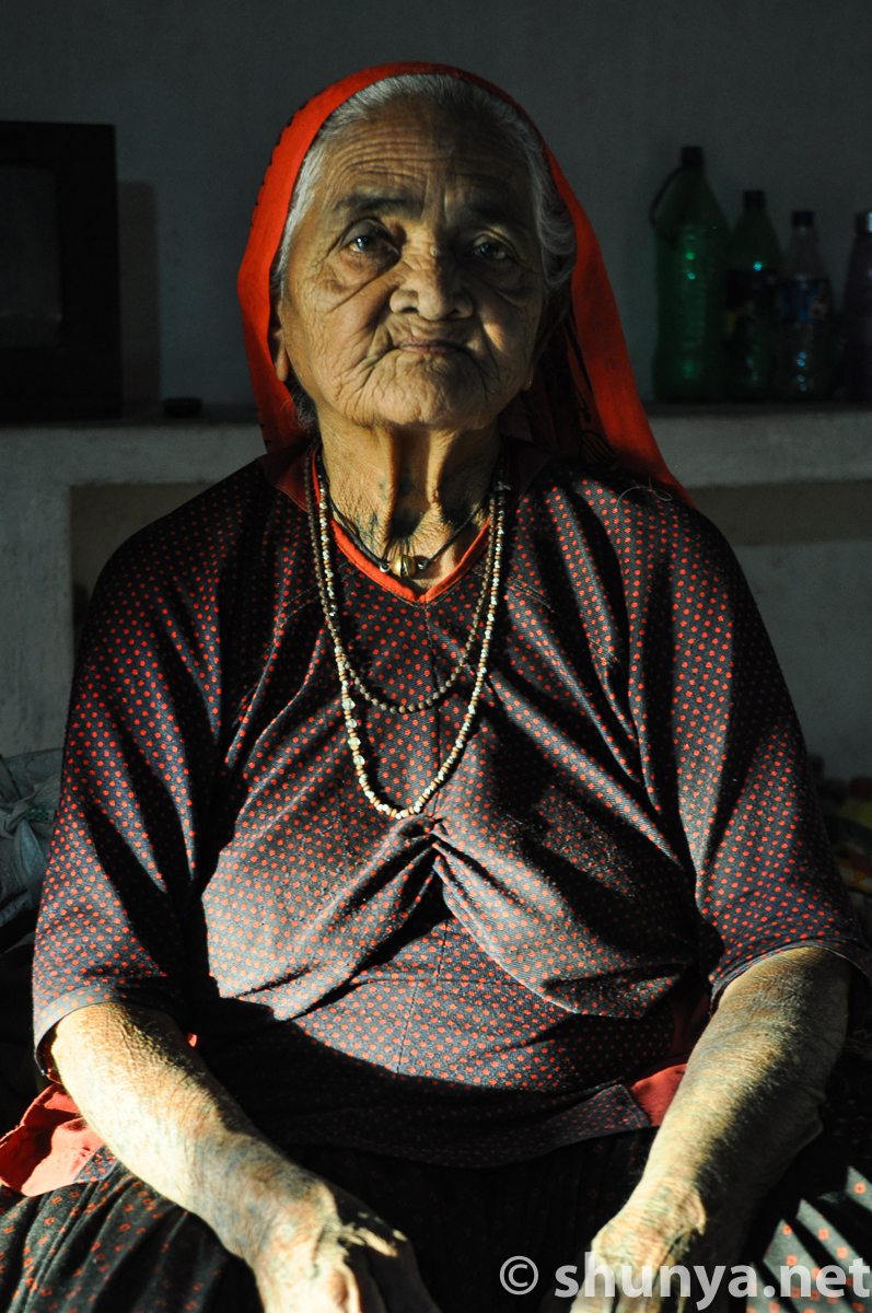
A great grandma
|
|
|
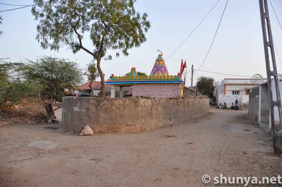
Village temple
|
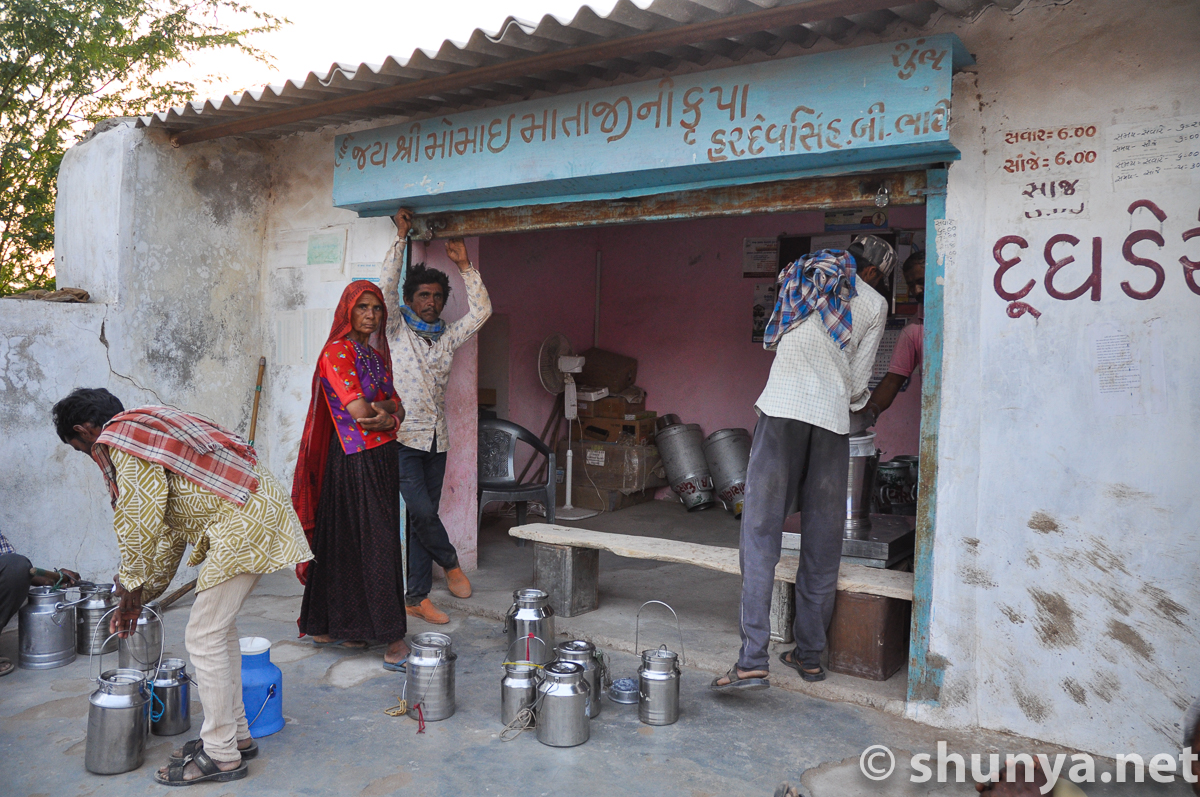
Milk cooperative
|
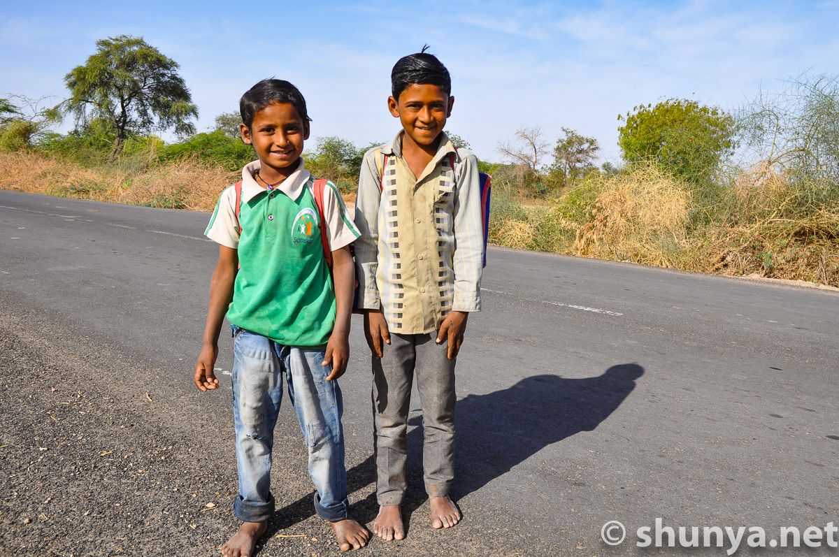
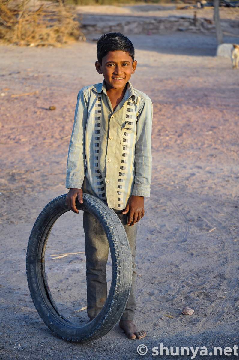
Two boys
|
|
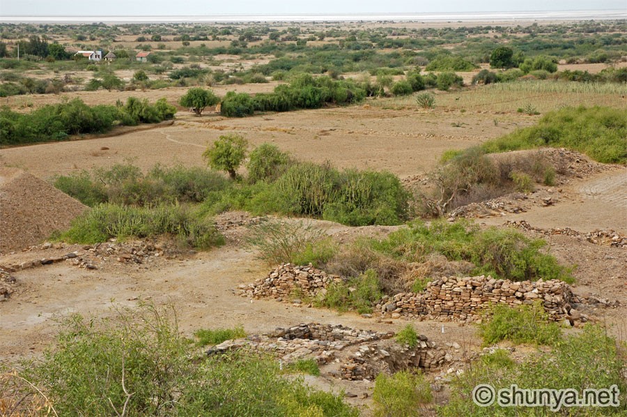
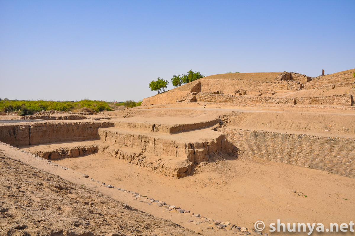
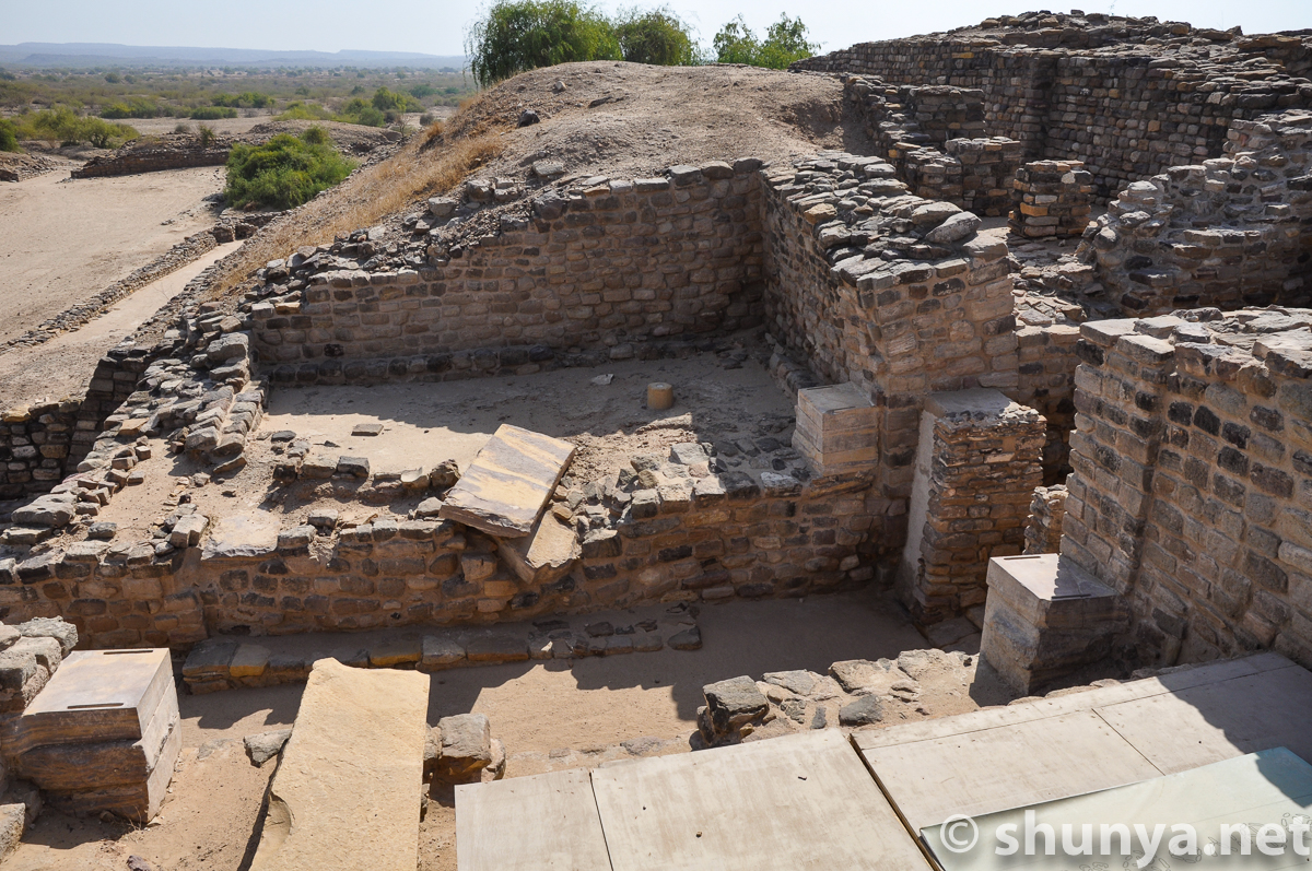
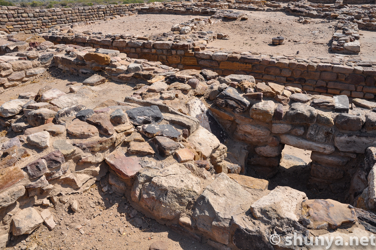
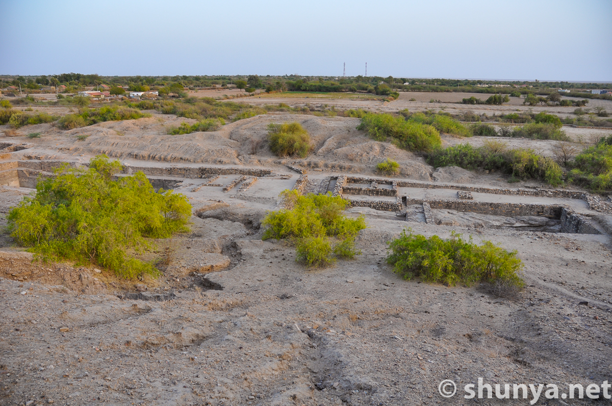
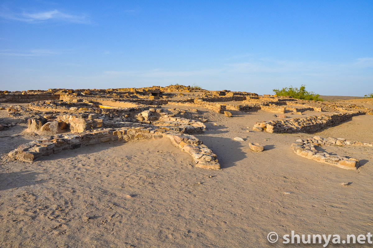
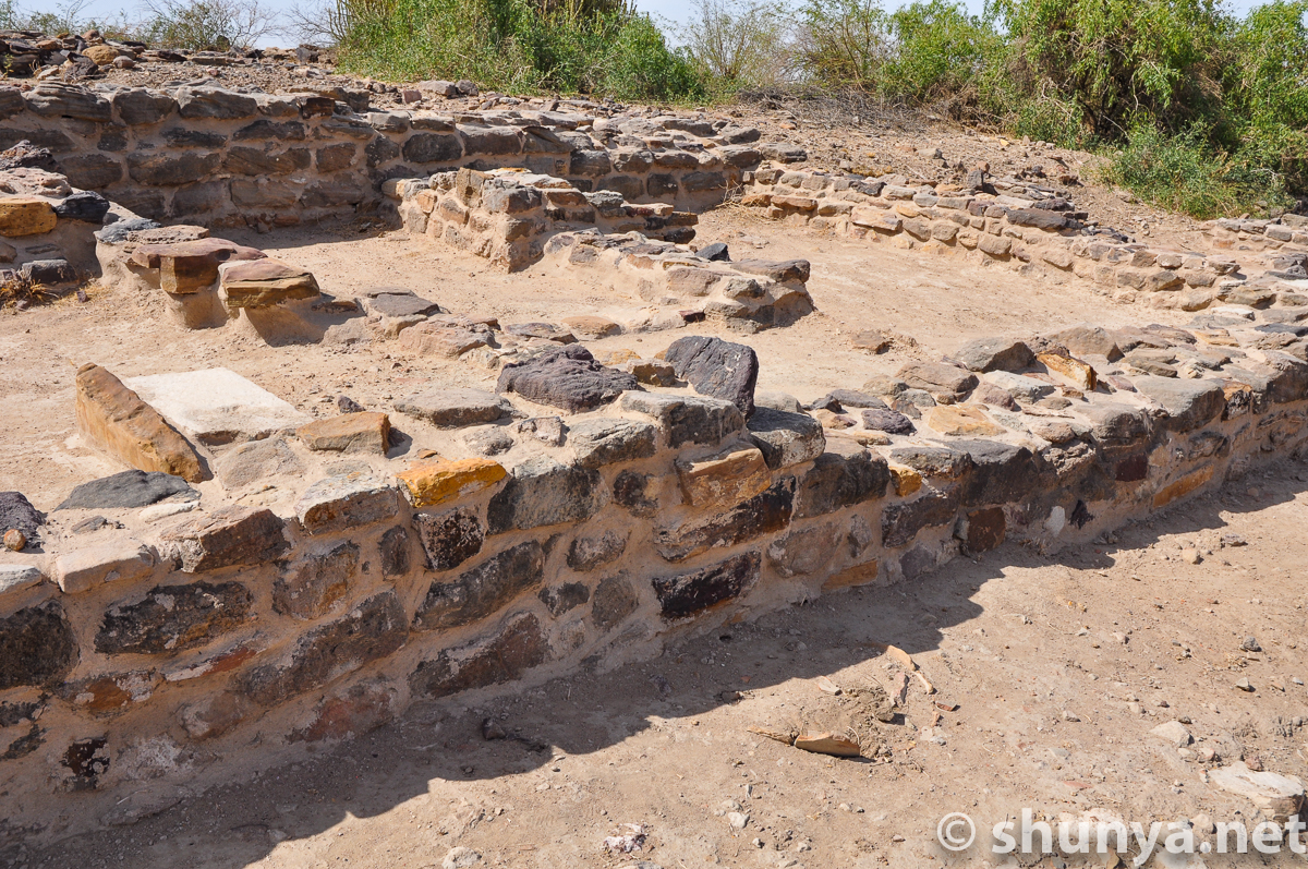
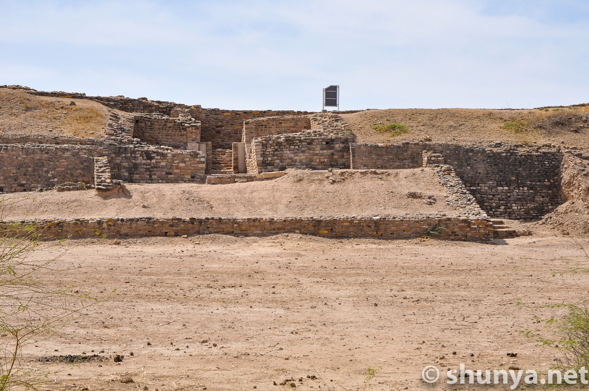
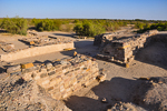
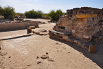
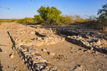
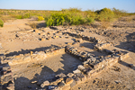
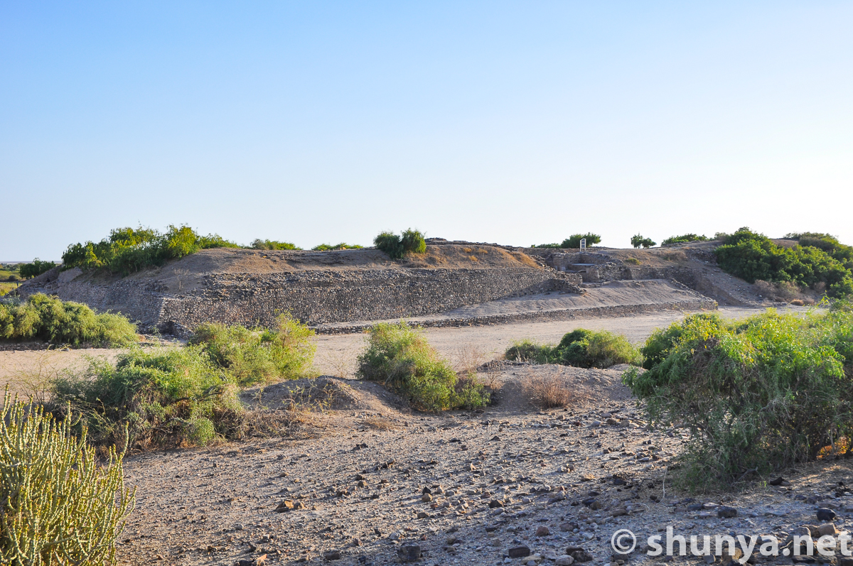
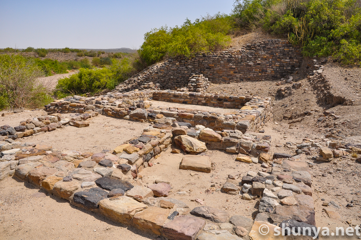
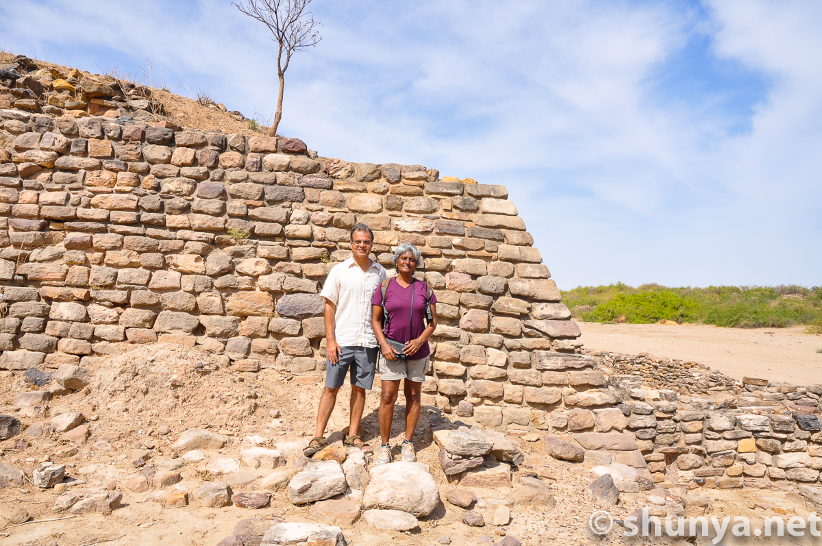
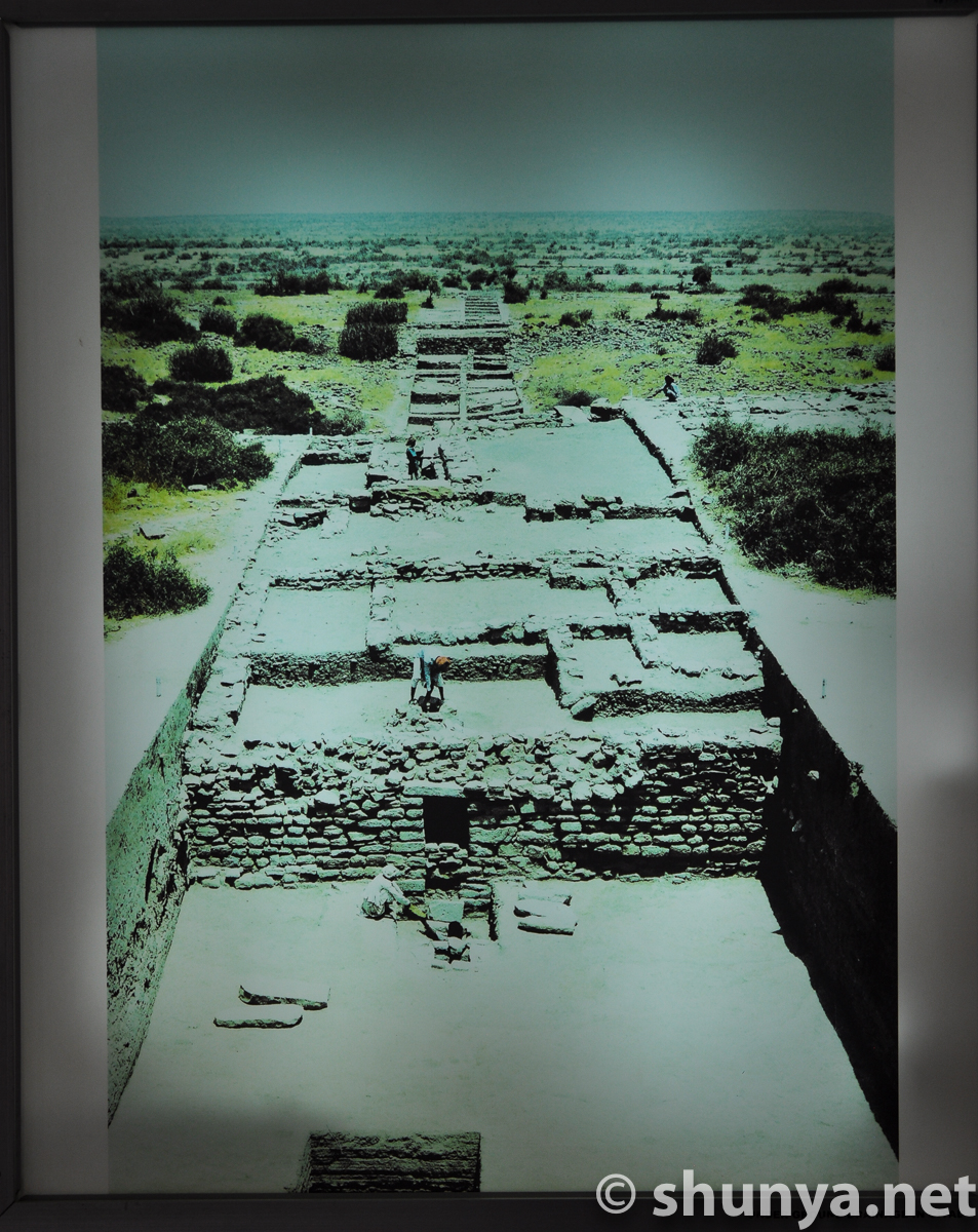
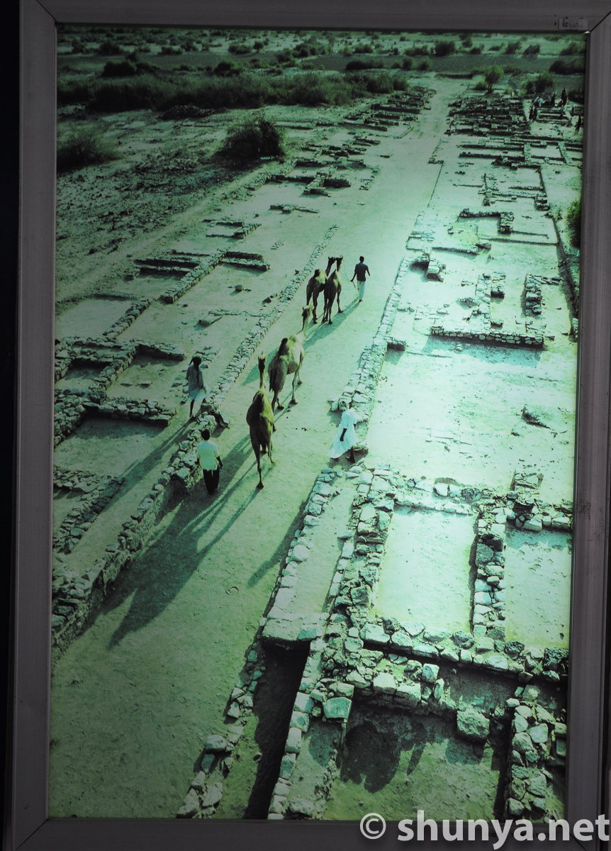
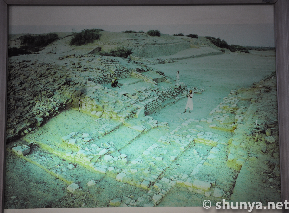
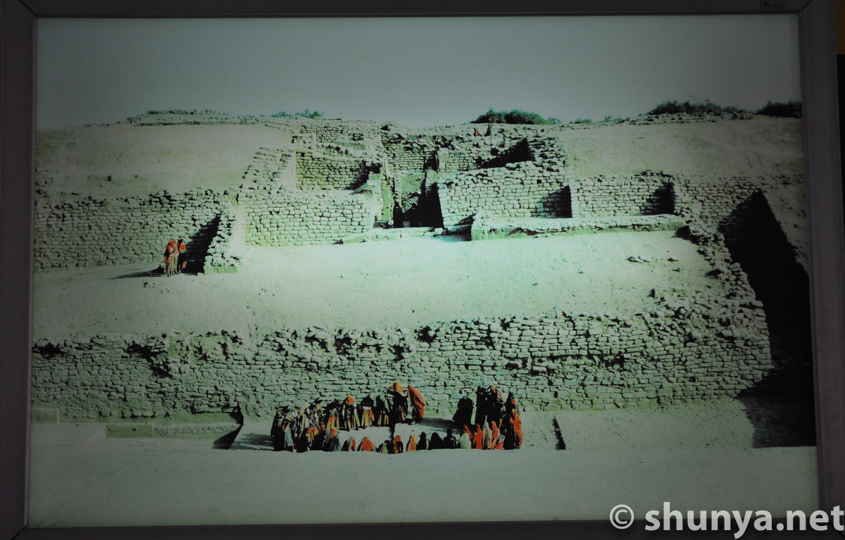
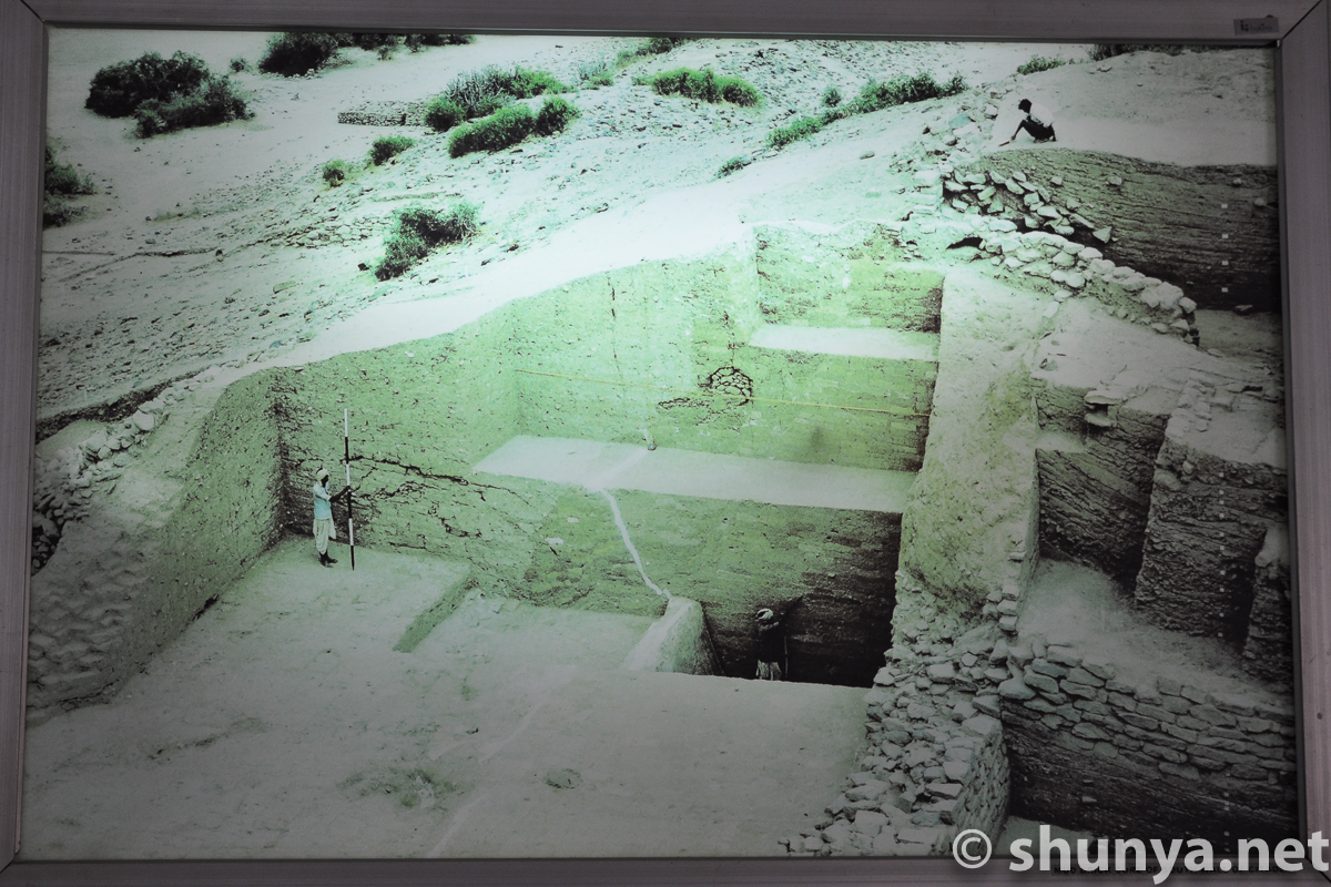
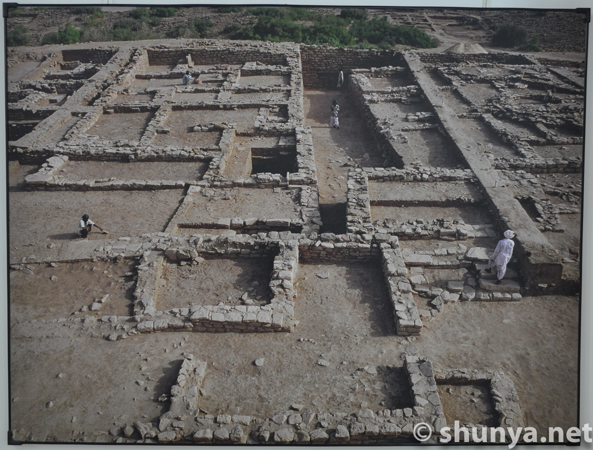
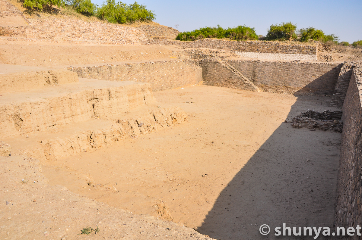
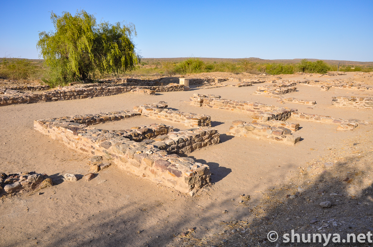
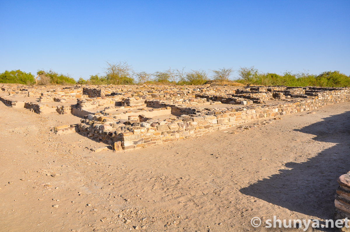
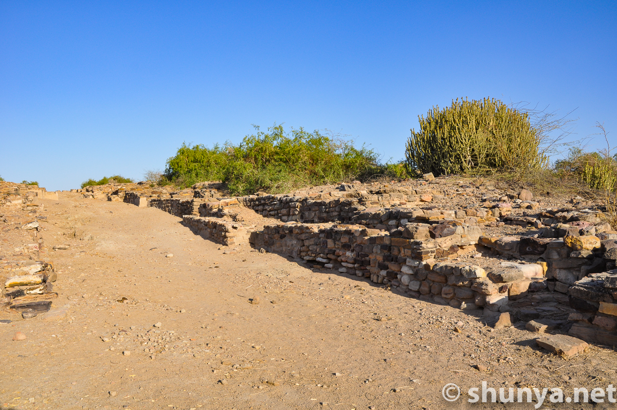
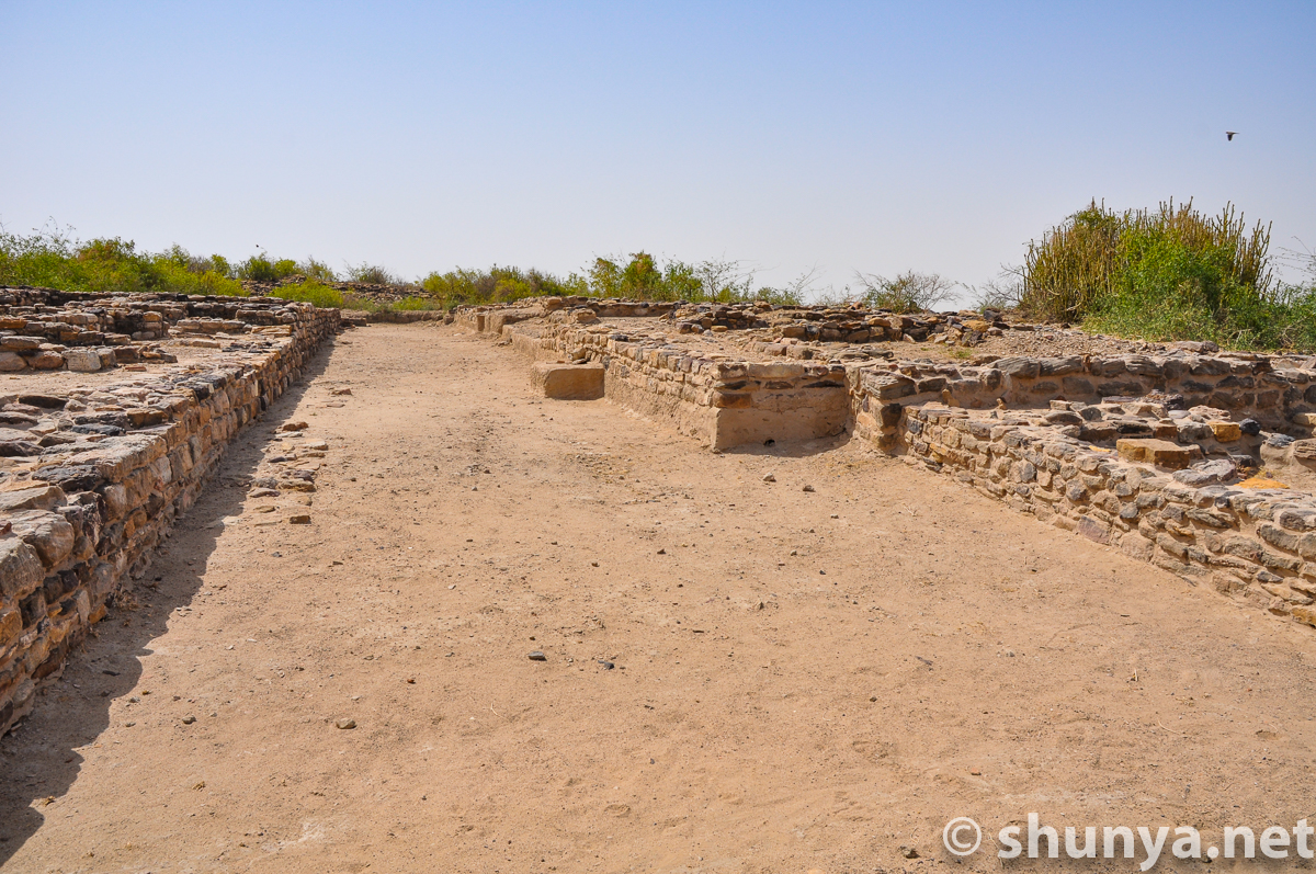
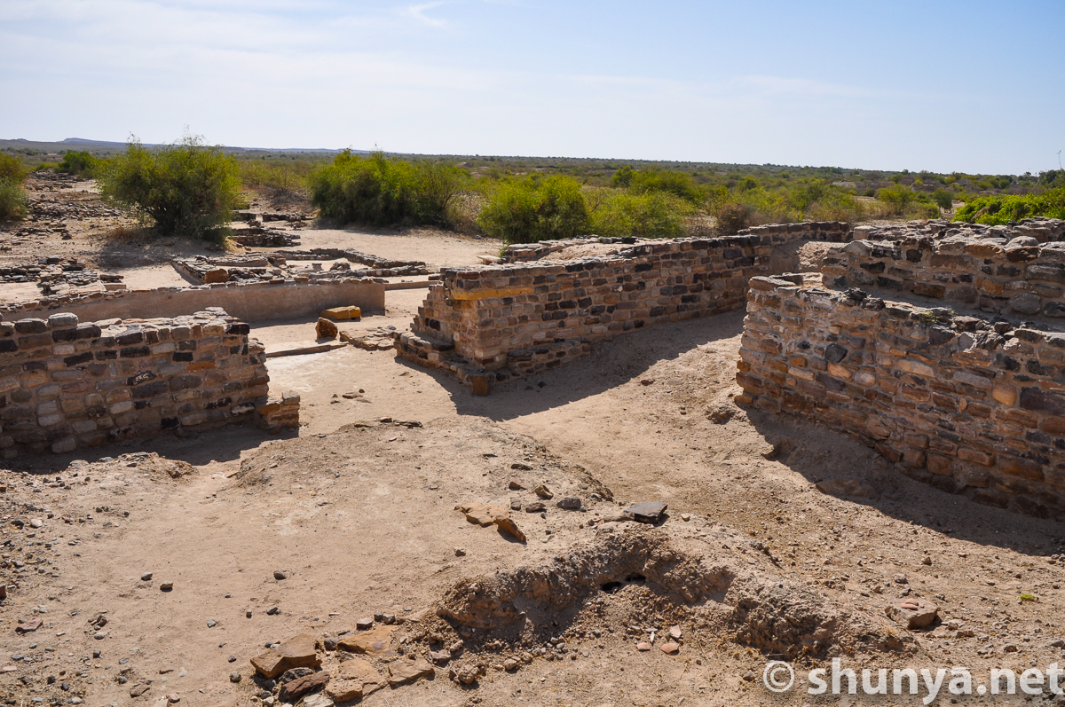
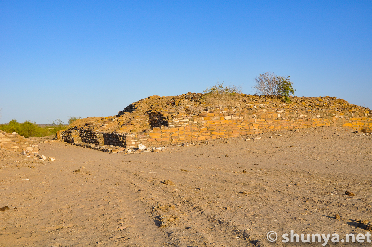
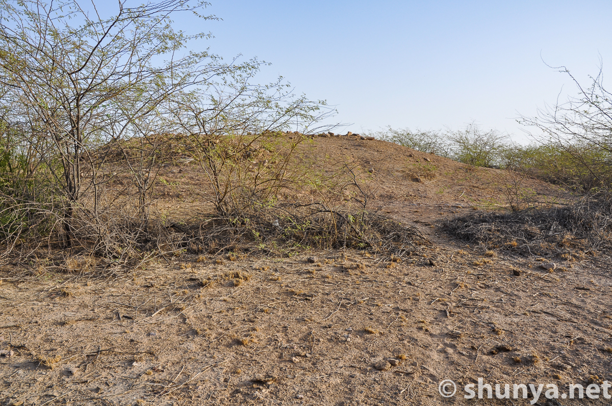
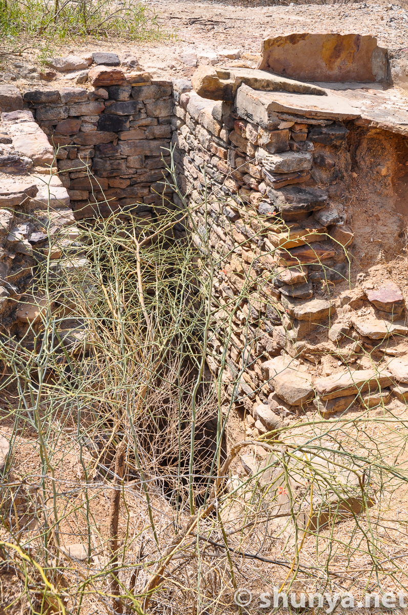
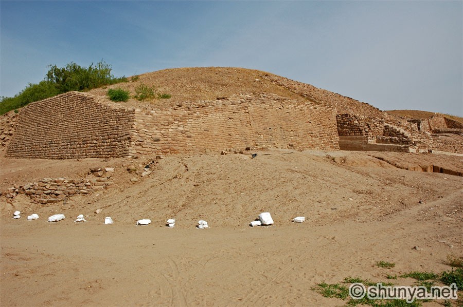
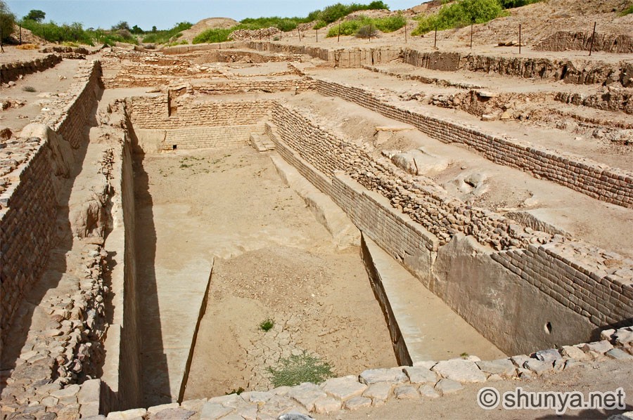
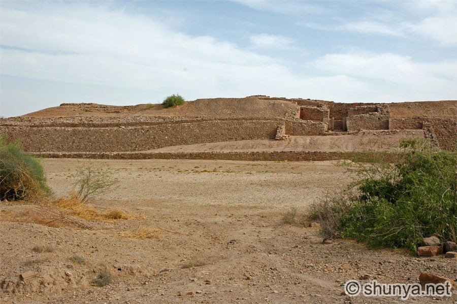
The ruins of the Harappan city of Dholavira |
|||
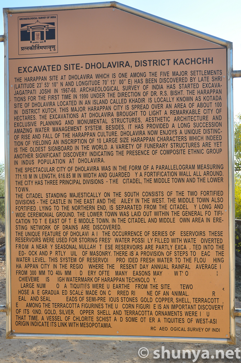
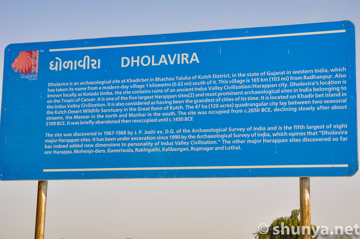
Dholavira signage
|
Approaching the ruins
|
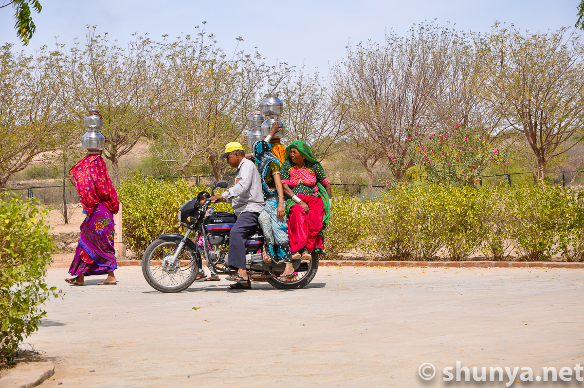
Locals
|
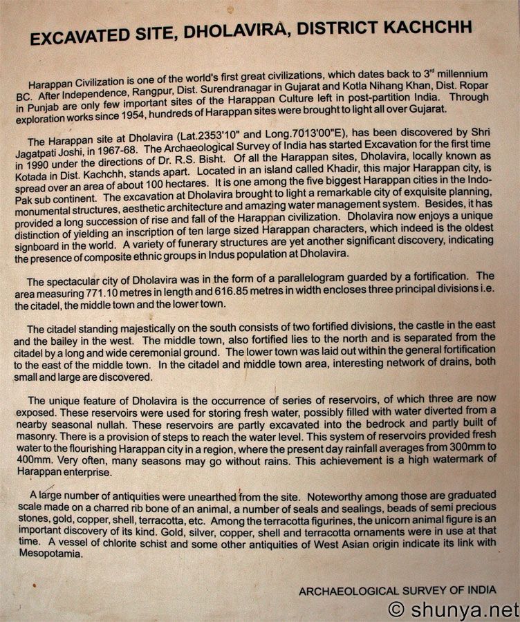
Dholavira site info
|
|
|
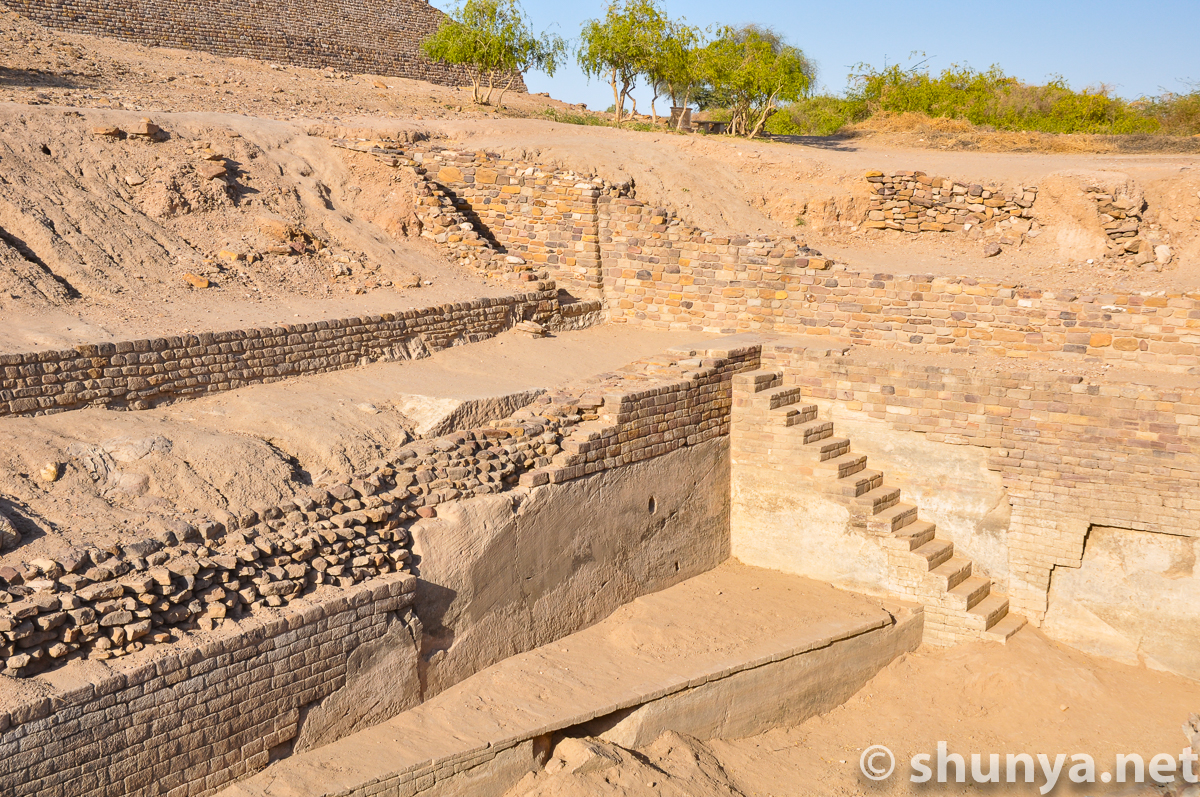
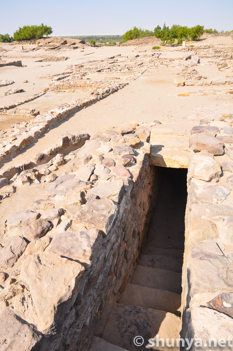
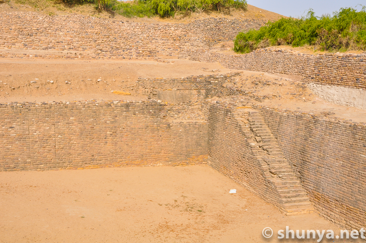
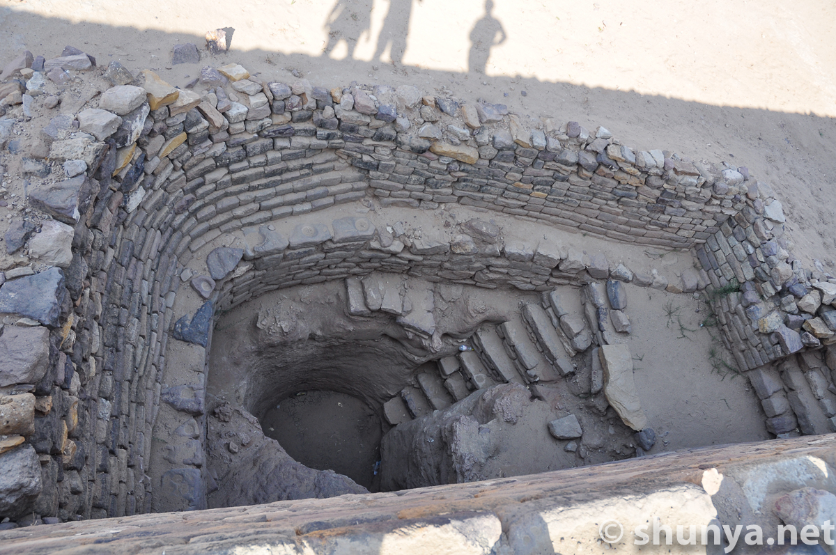
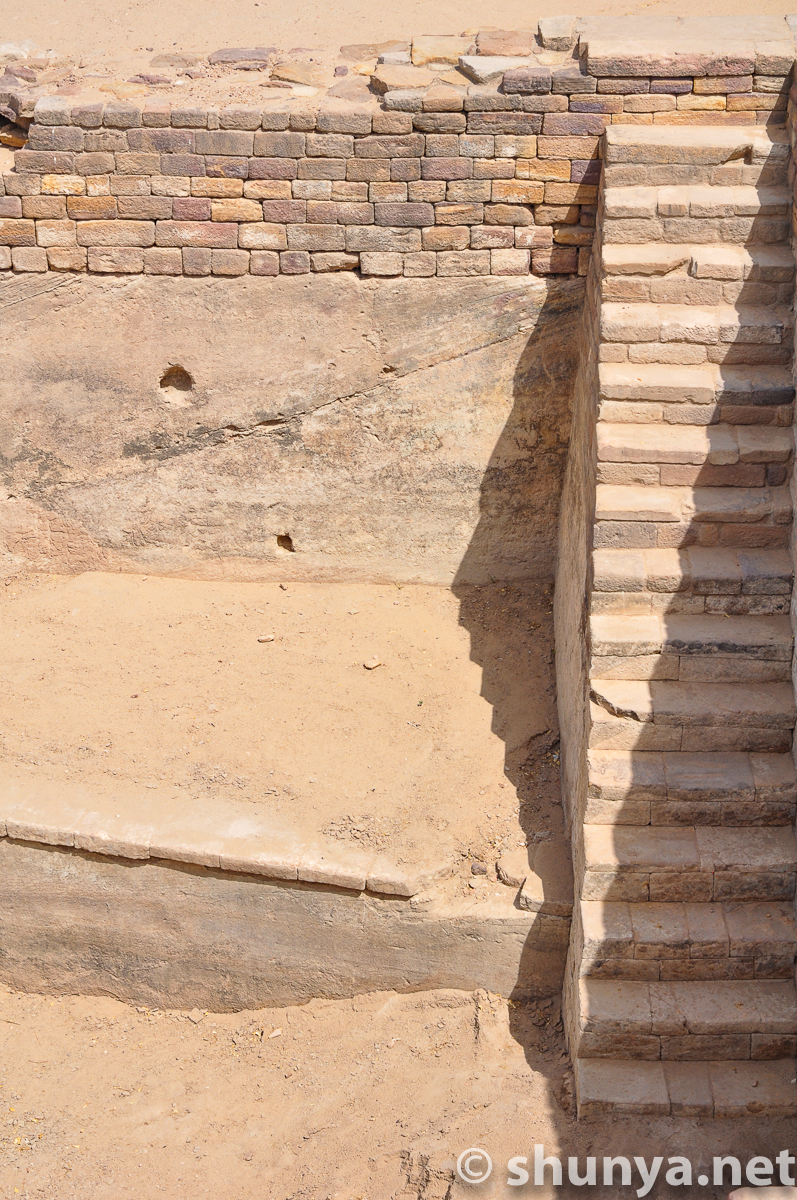
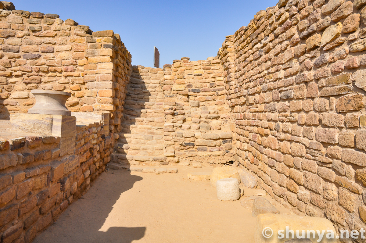
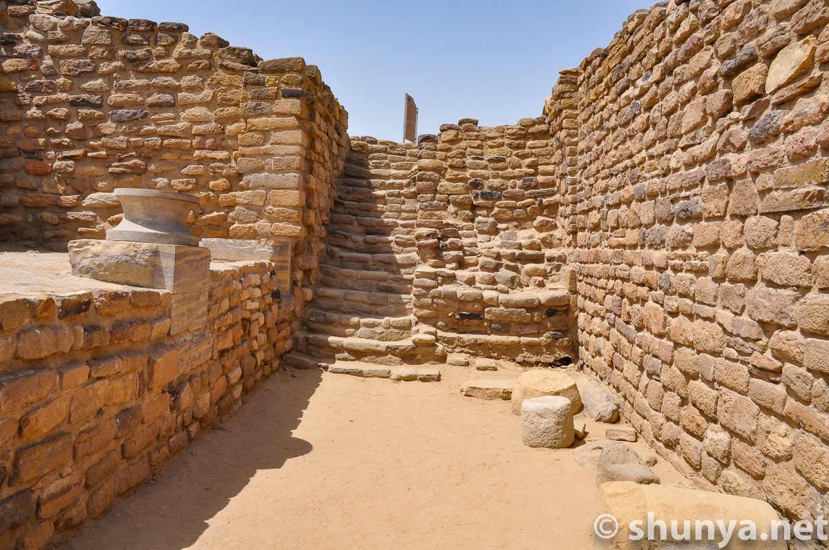
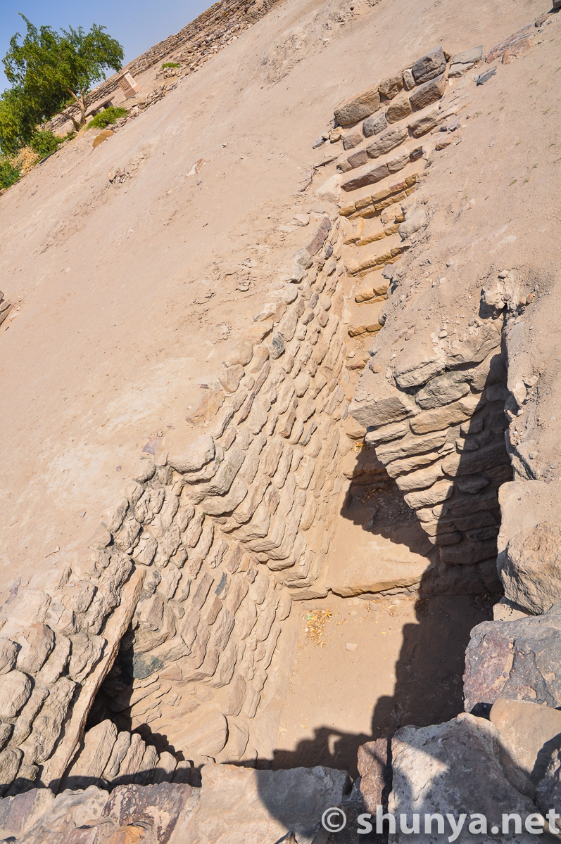
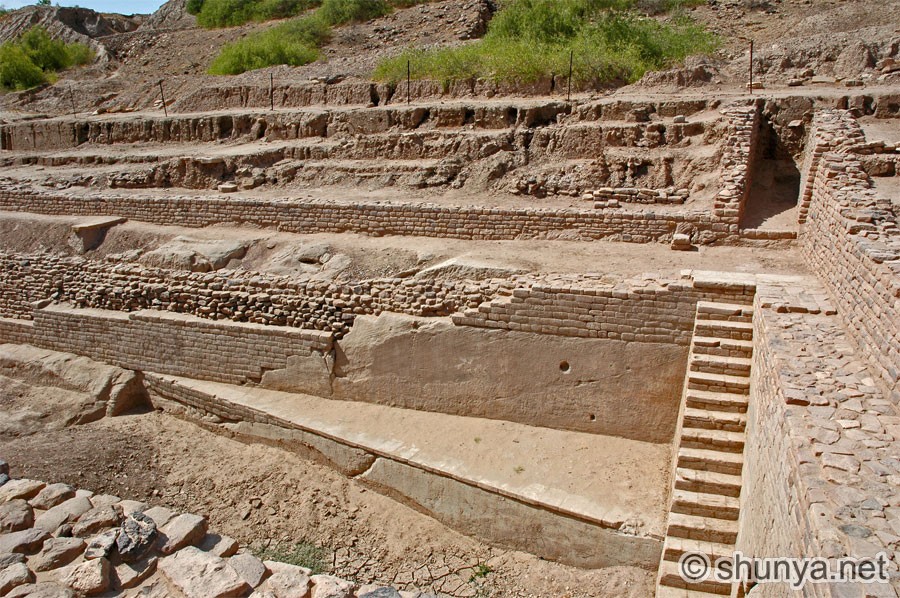
Descending steps
|
|
|
|
|
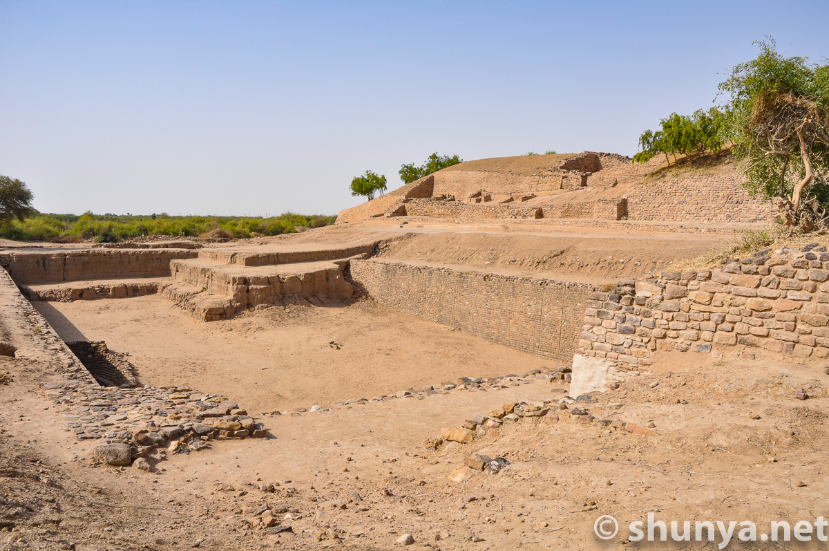
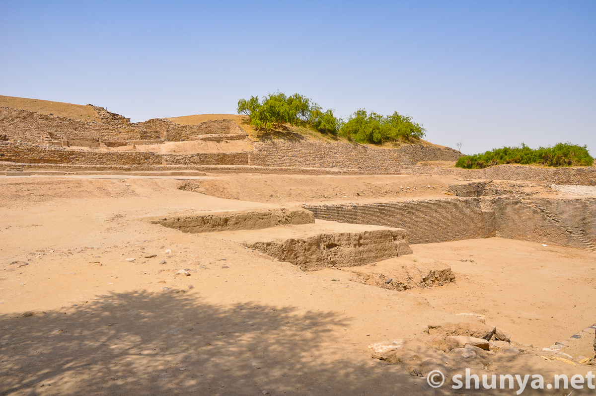
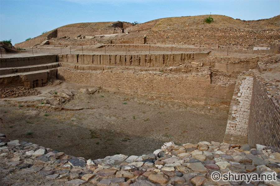
|
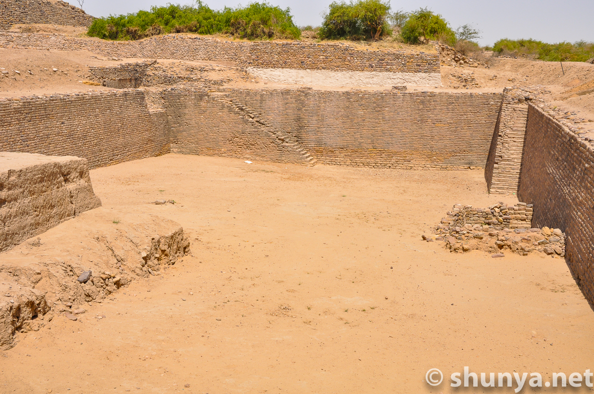
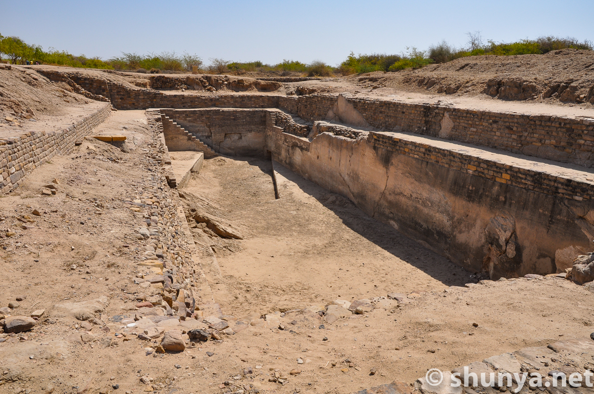
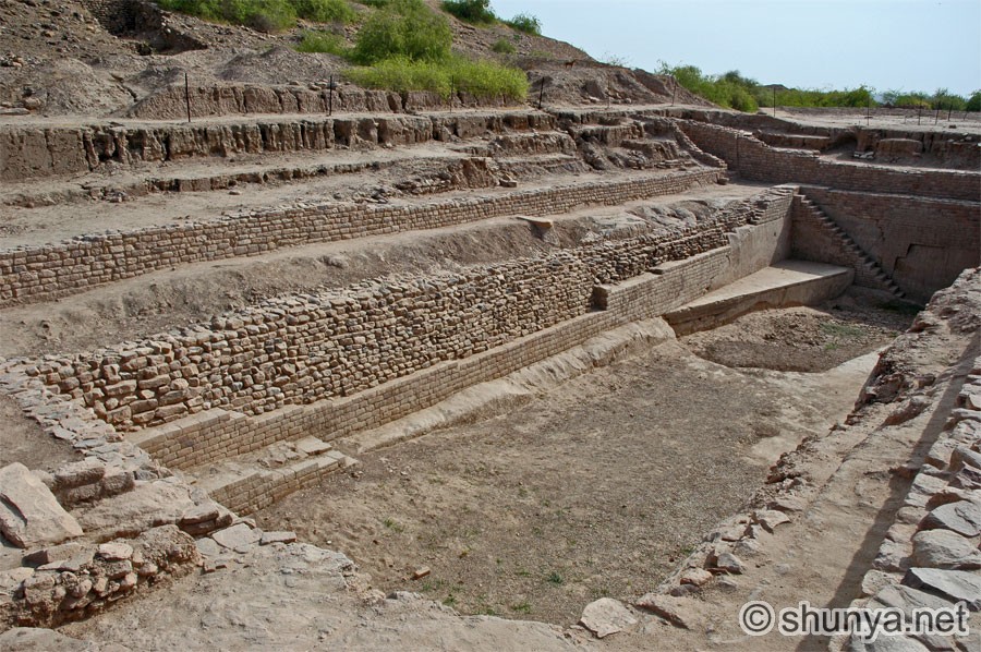
Another reservoir (ramp)
|
Yet another (sluice)
|
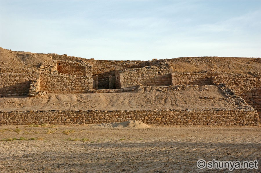
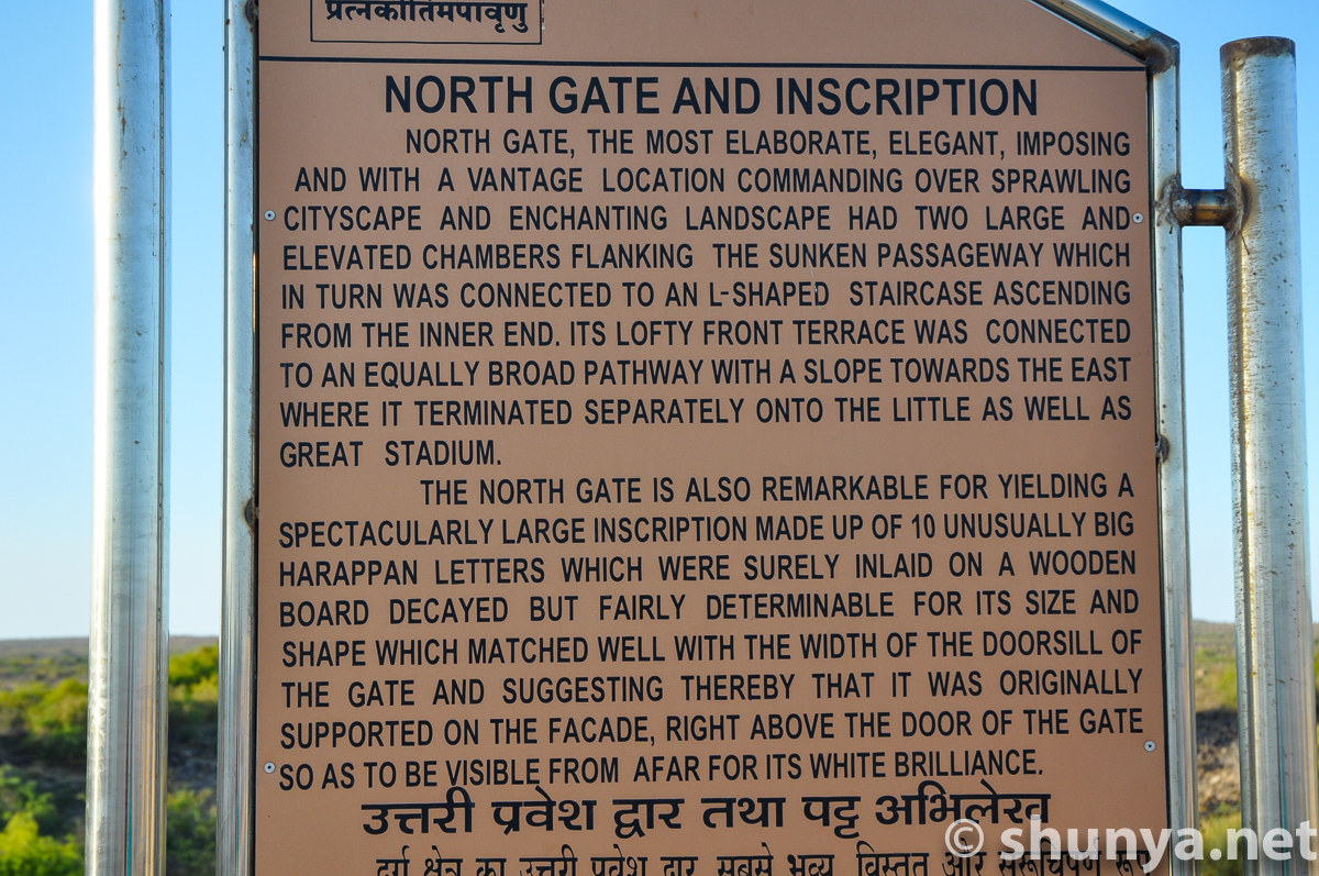
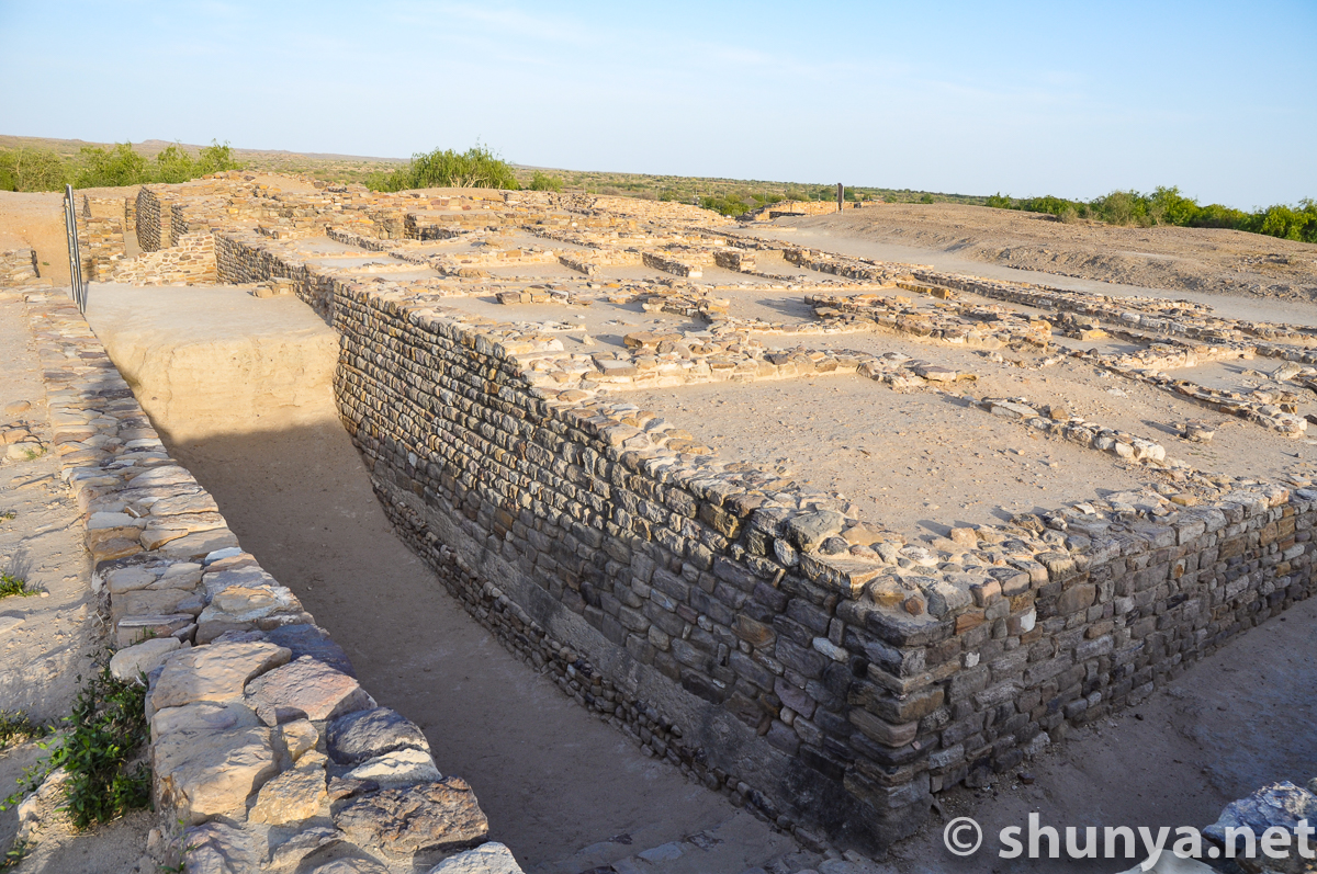
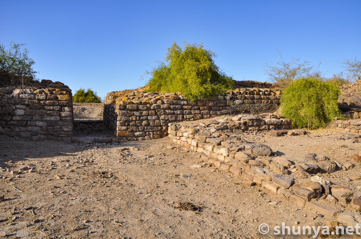
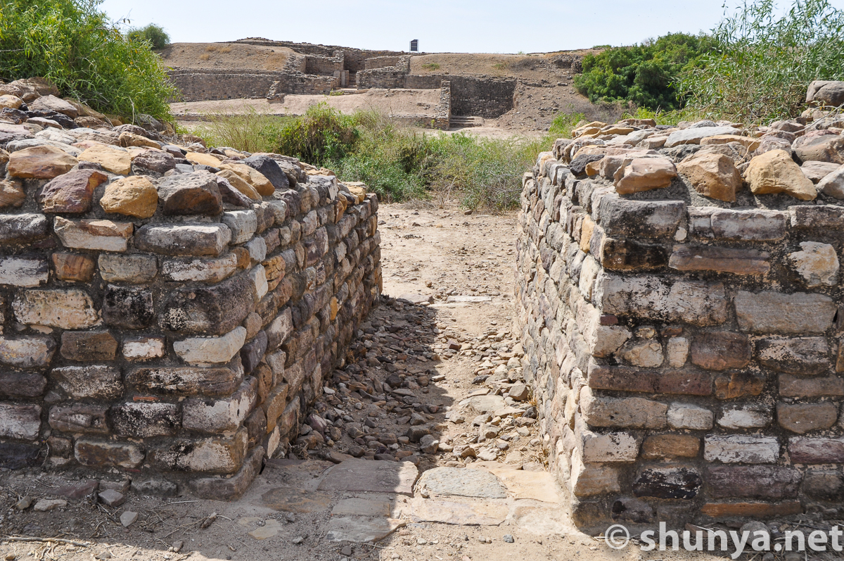
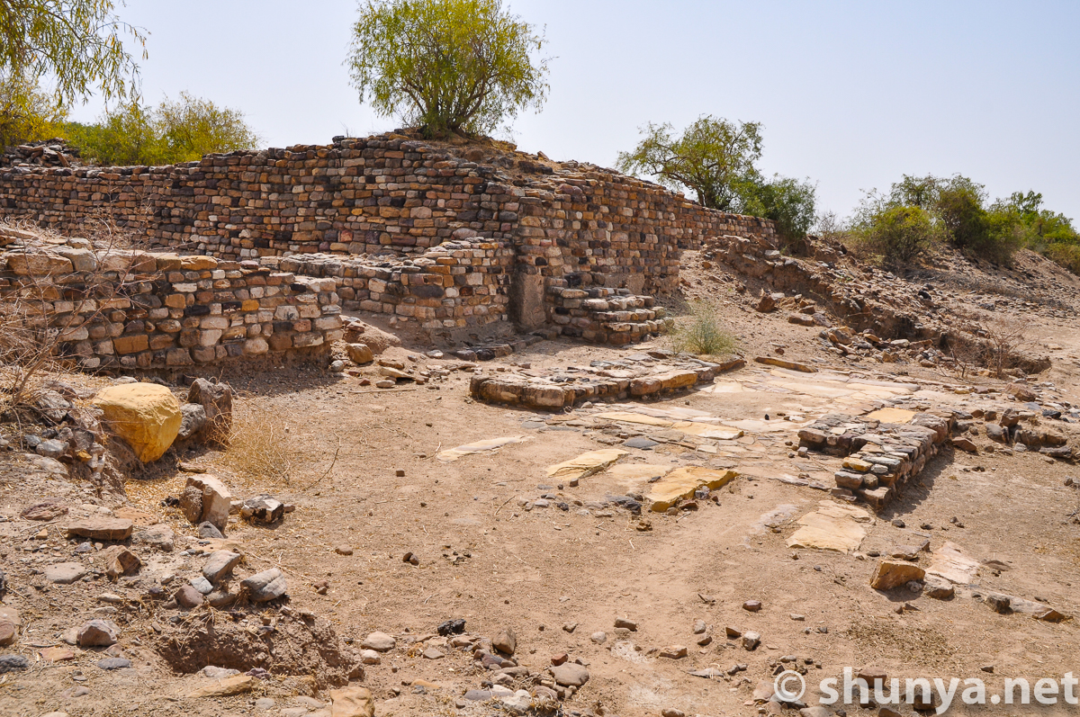
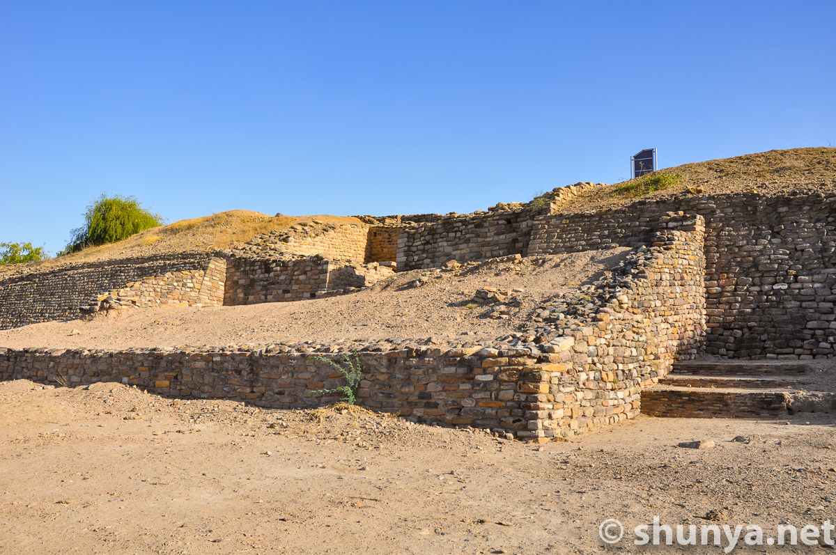
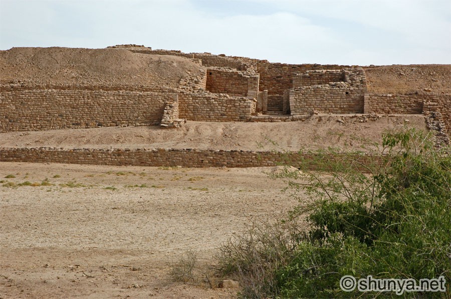
North gate of the citadel
|
|
Northern entrance
|
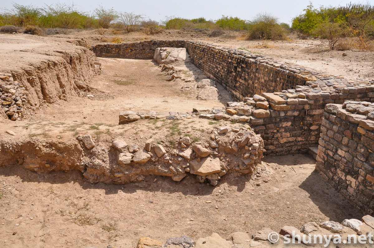
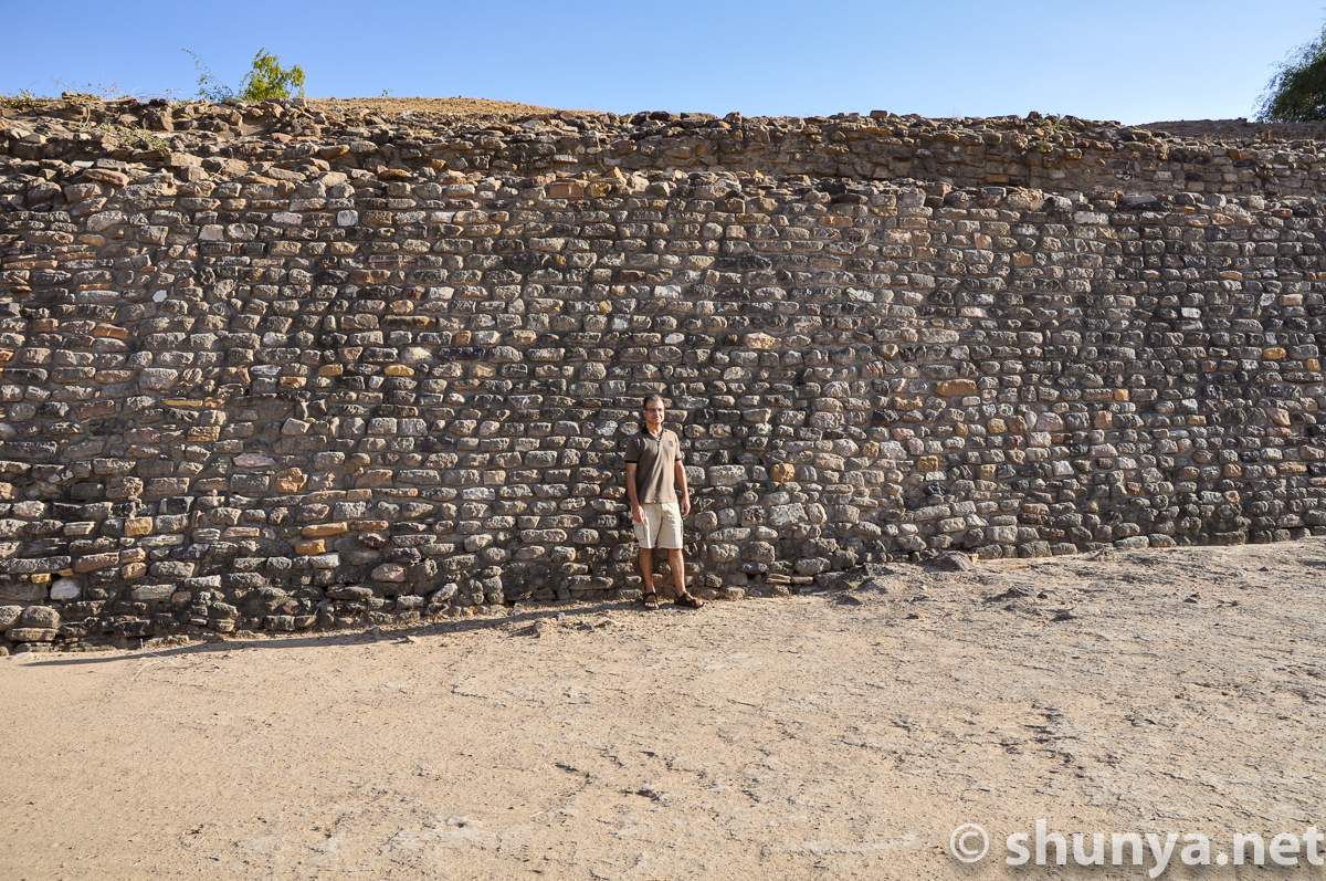
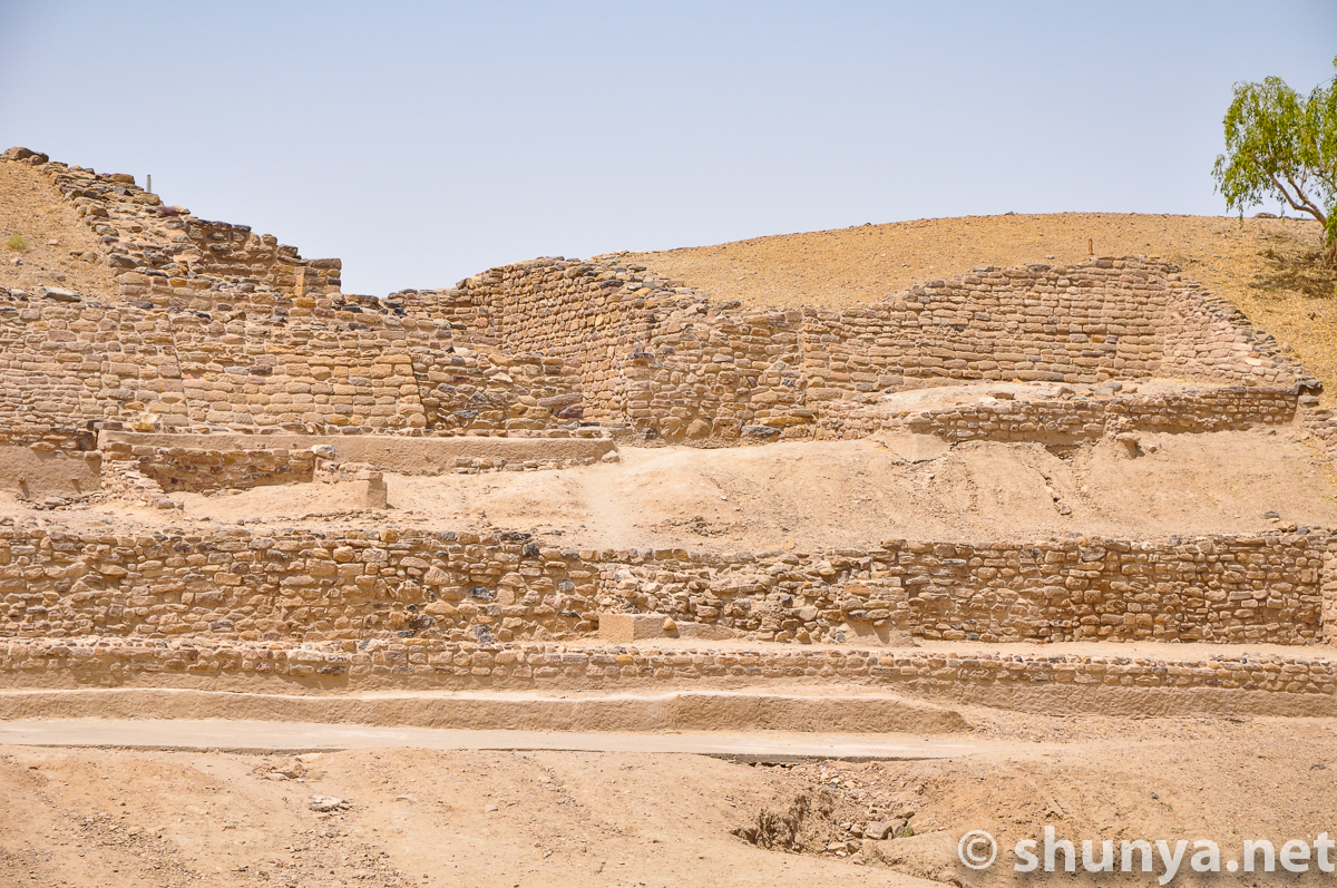
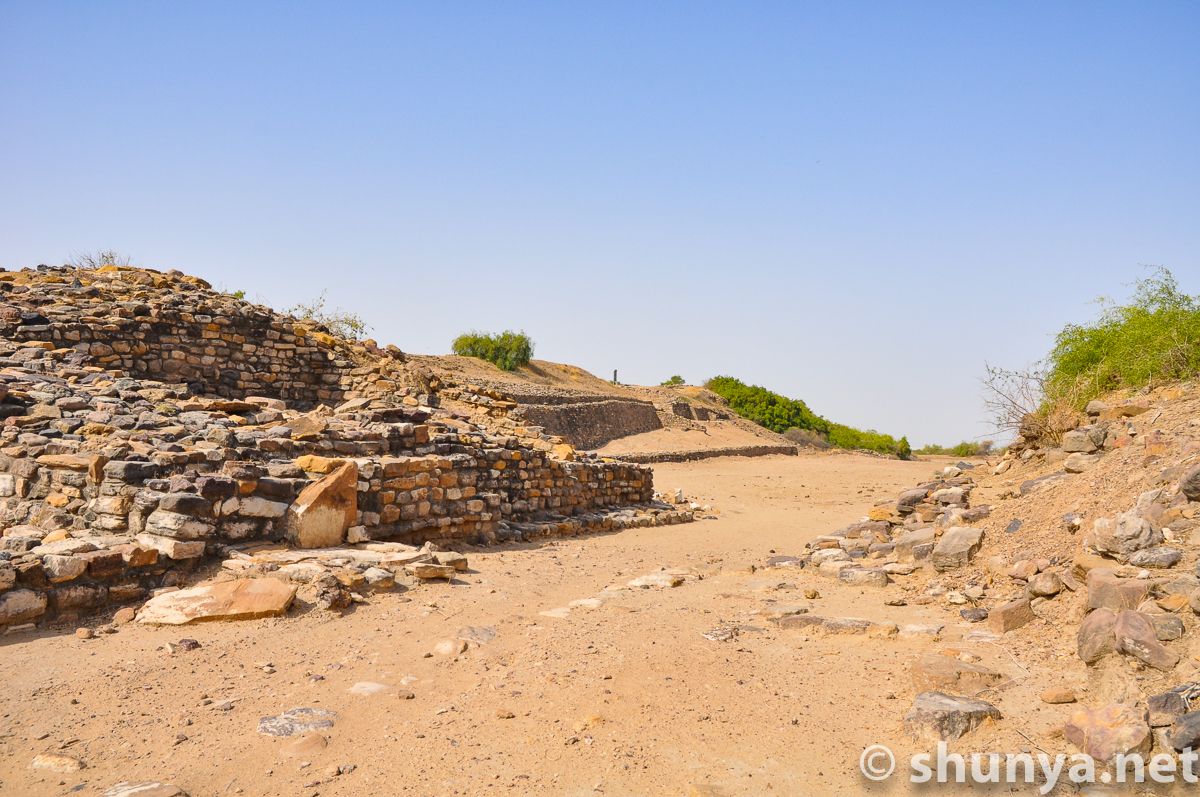
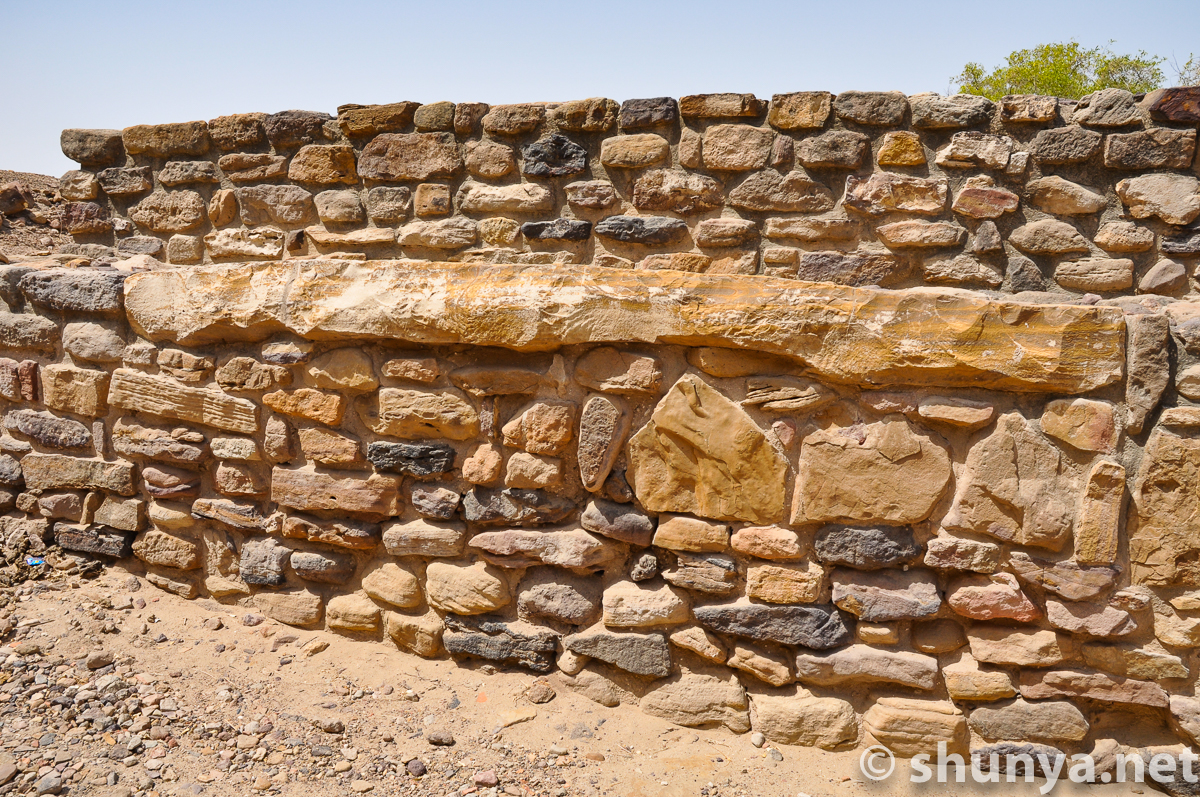
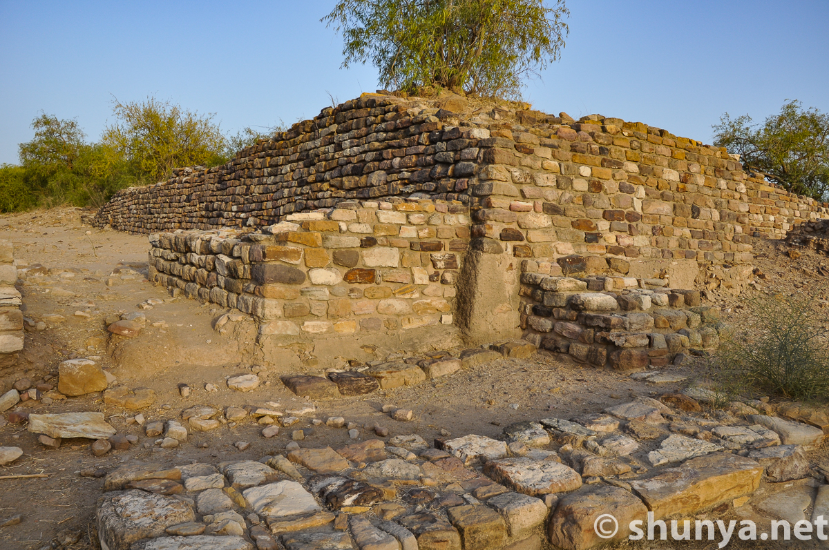
The citadel's northern wall
|
Northern wall & entrance
|
Excavated location of
|
Northwestern corner of
|
The citadel from the
|
Ramp to eastern entrance
|
Water channel by eastern
|
Eastern entrance of
|
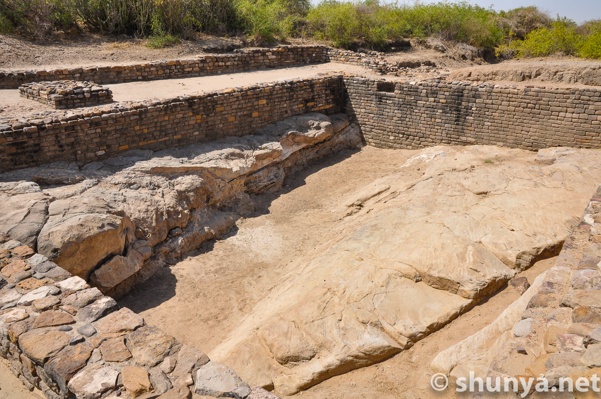
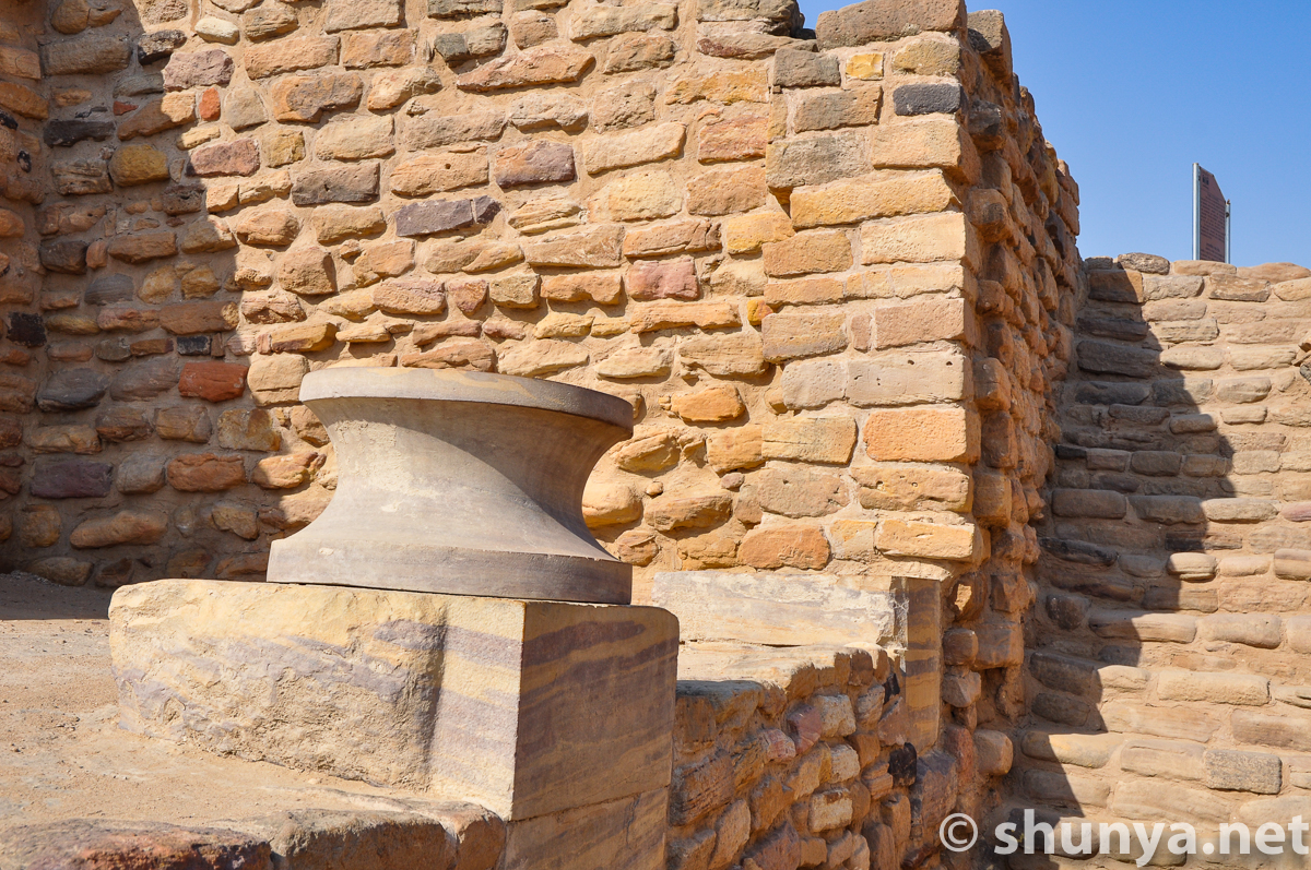
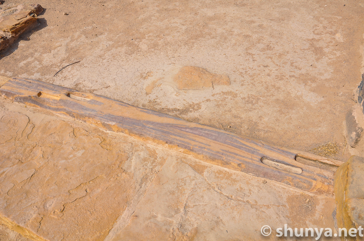
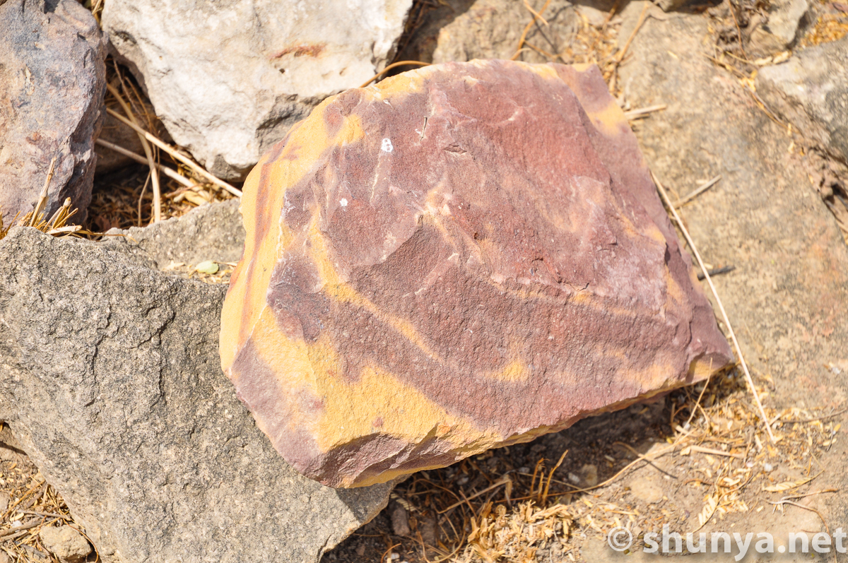
Polished fragment of a
|
Atop the citadel, past the
|
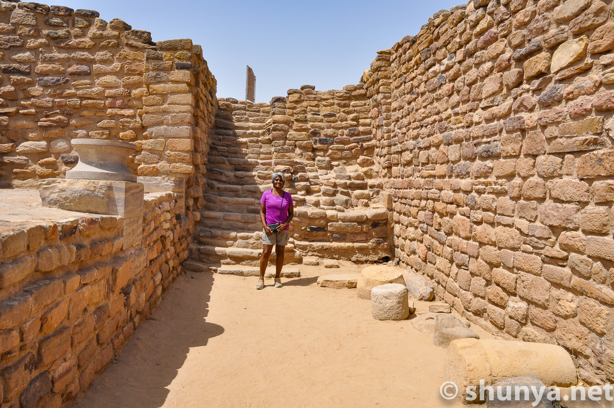
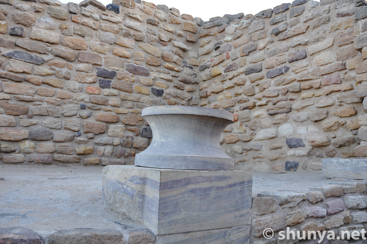
"Phallic" pillars or a
|
Bhunga, post-Harappan
|
Another Bhunga dwelling
|
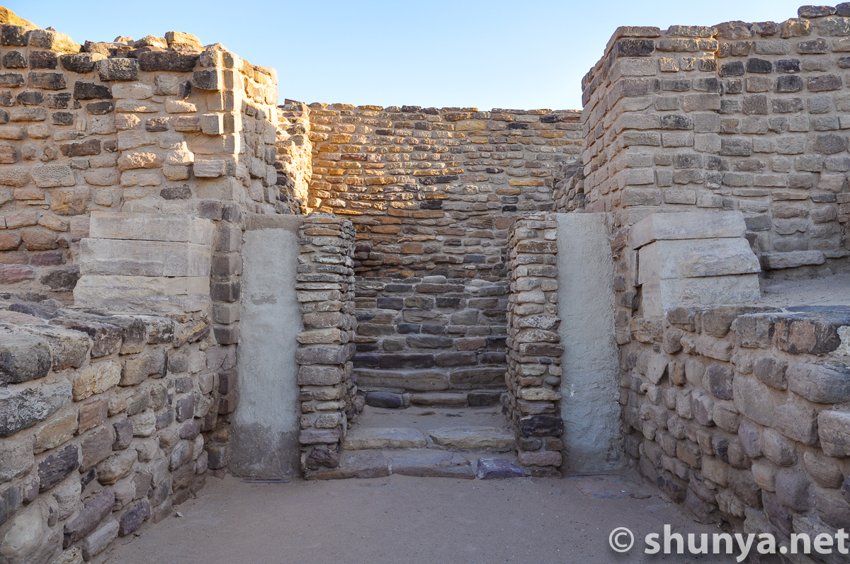
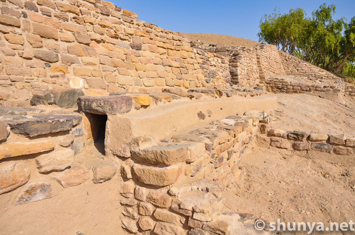
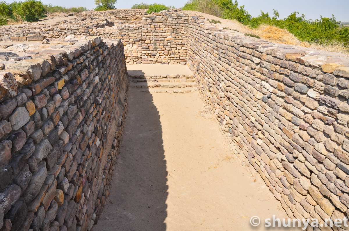
Passage in northern
|
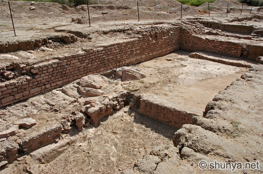
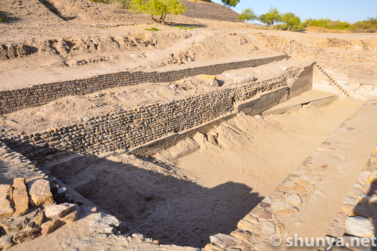
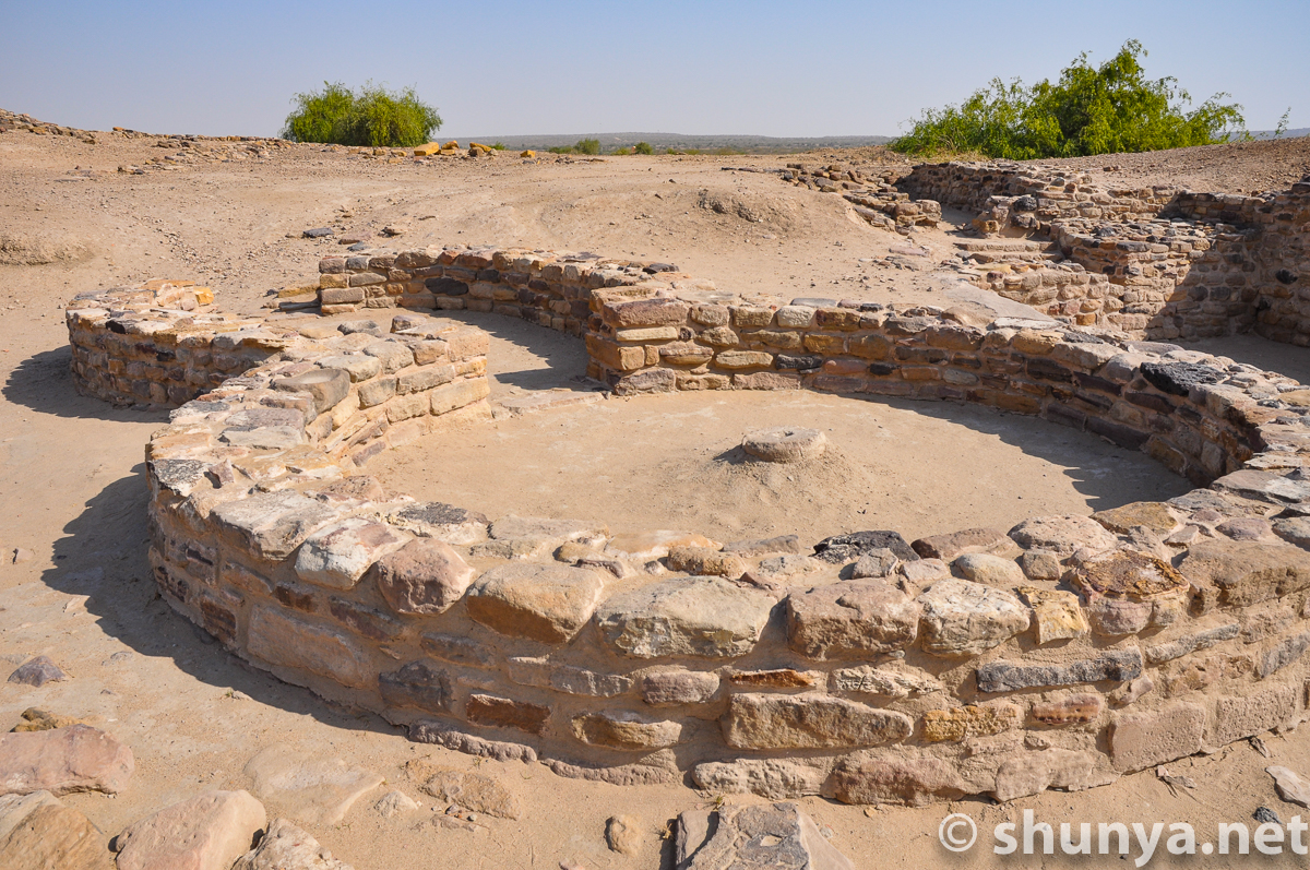
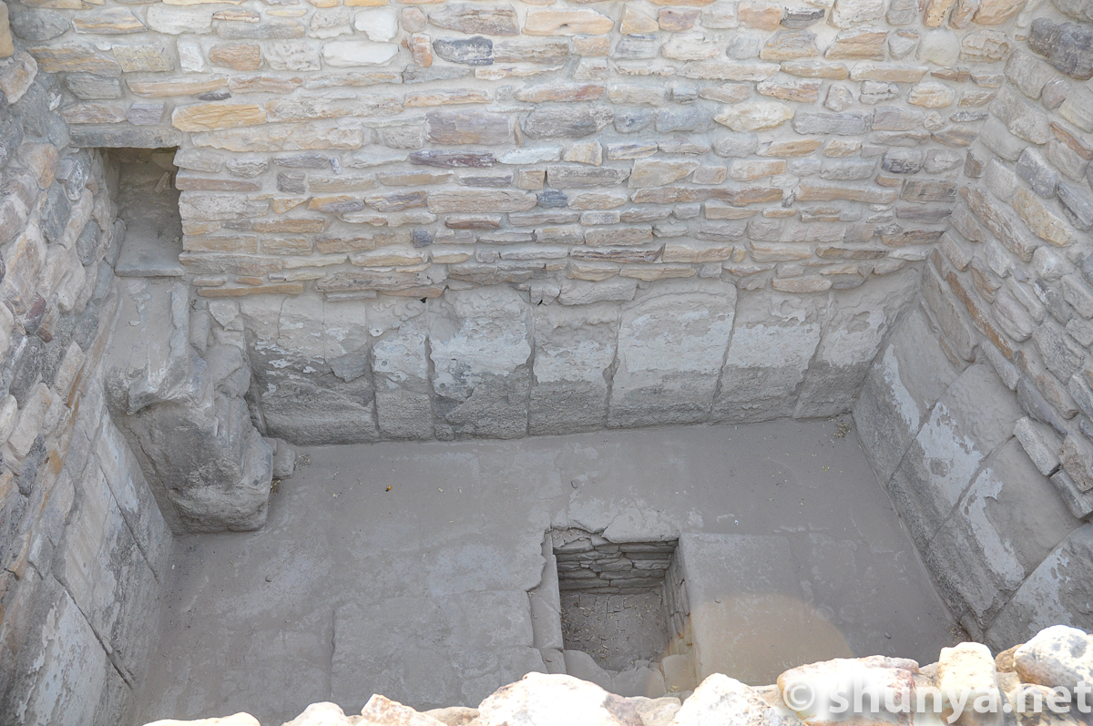
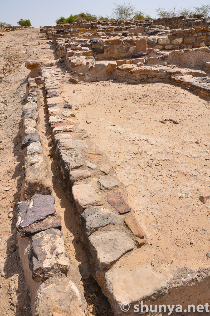
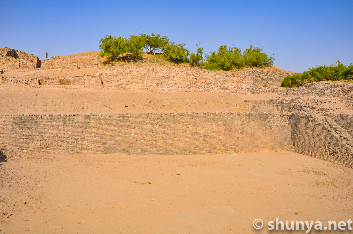
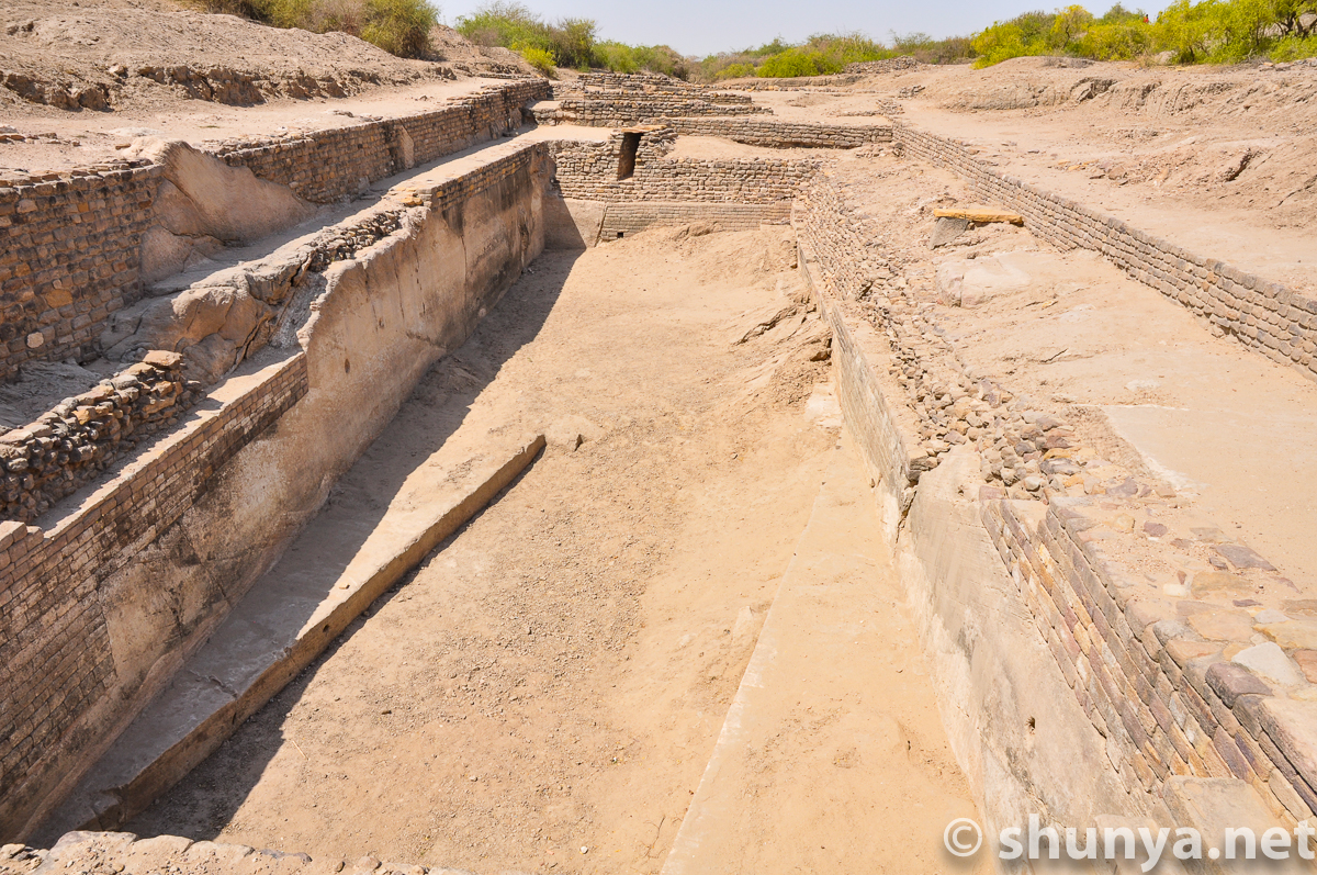
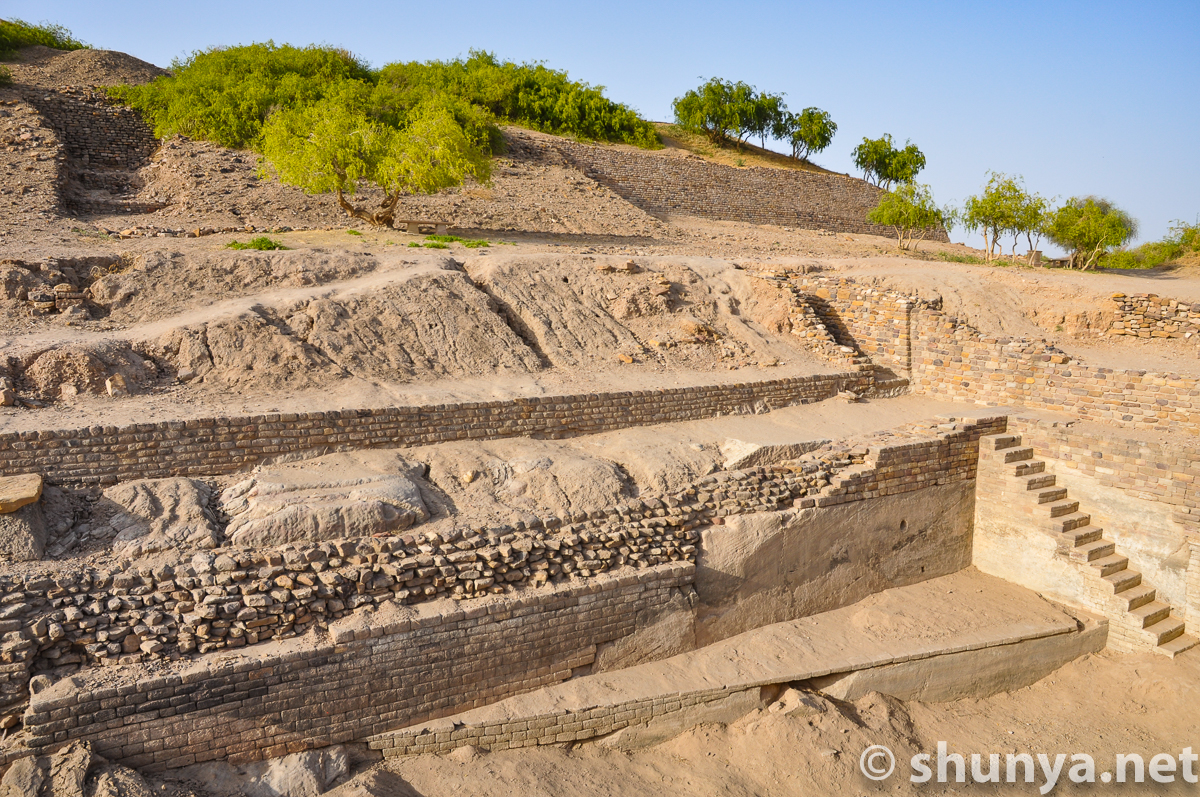
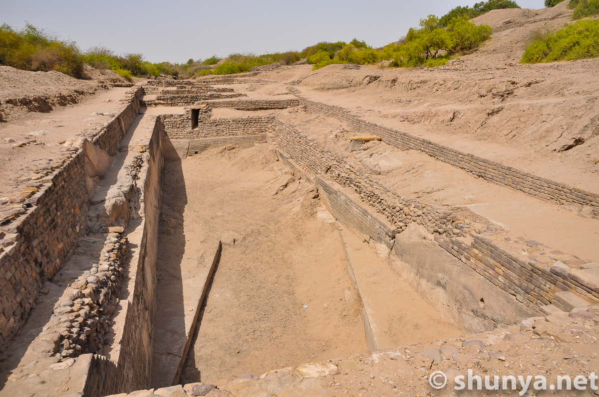
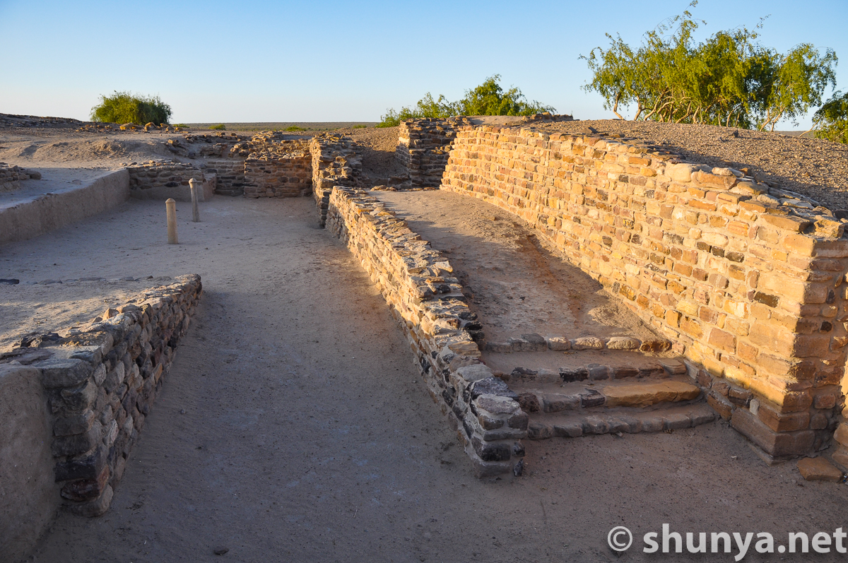
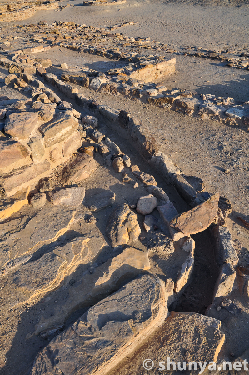
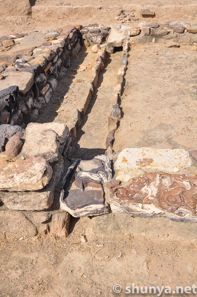
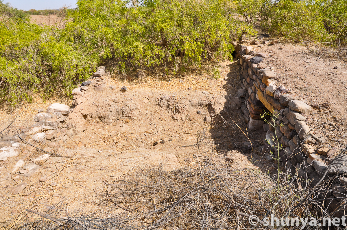
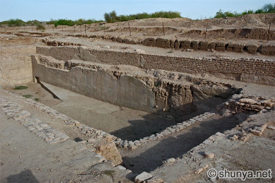
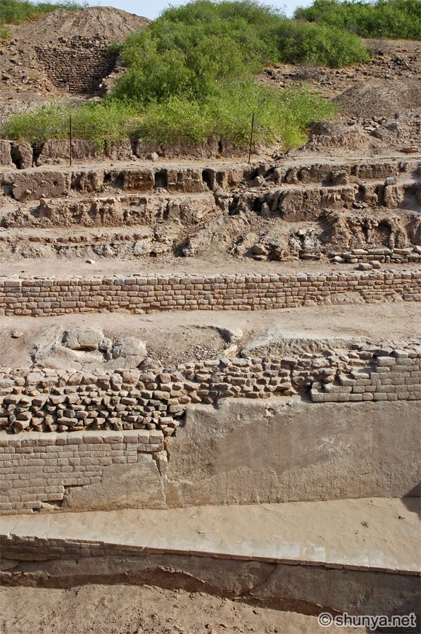
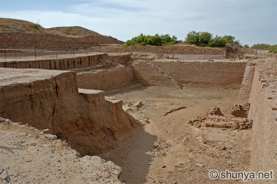
Water harvesting
|
More water channels
|
Arterial drain on citadel
|
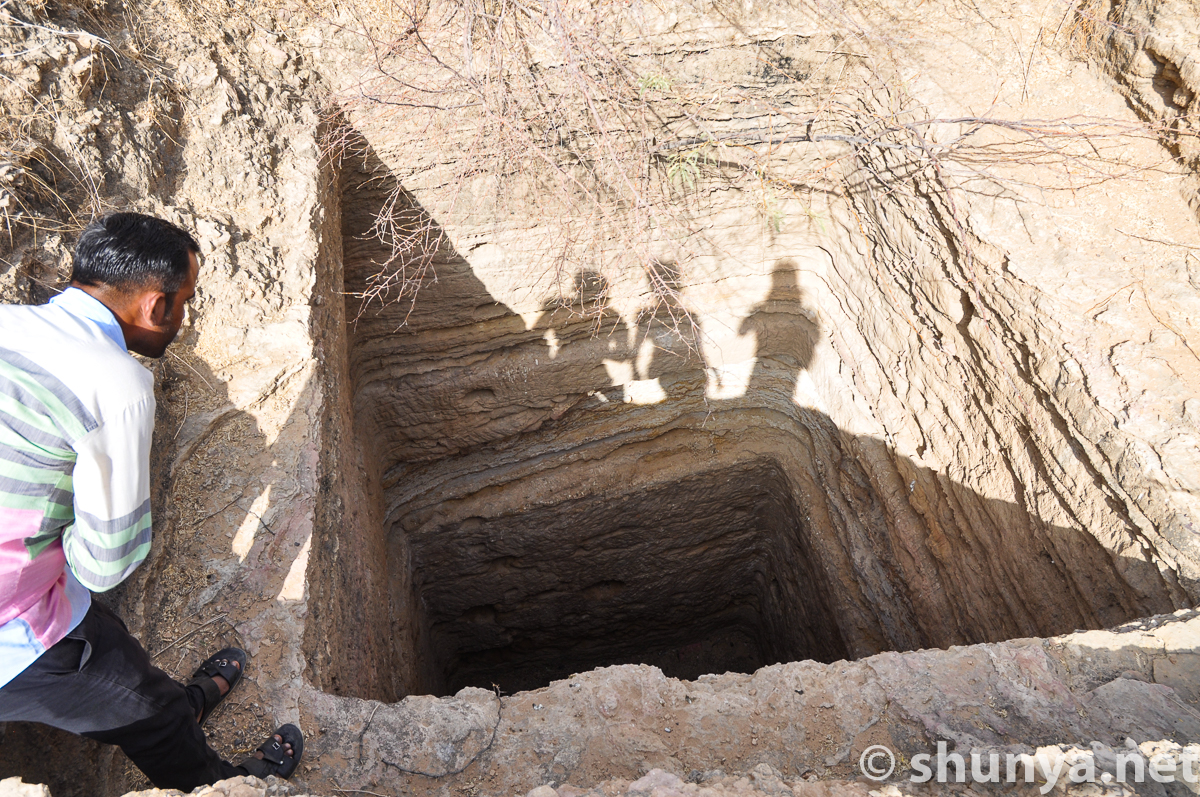
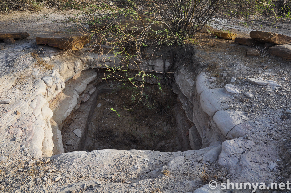
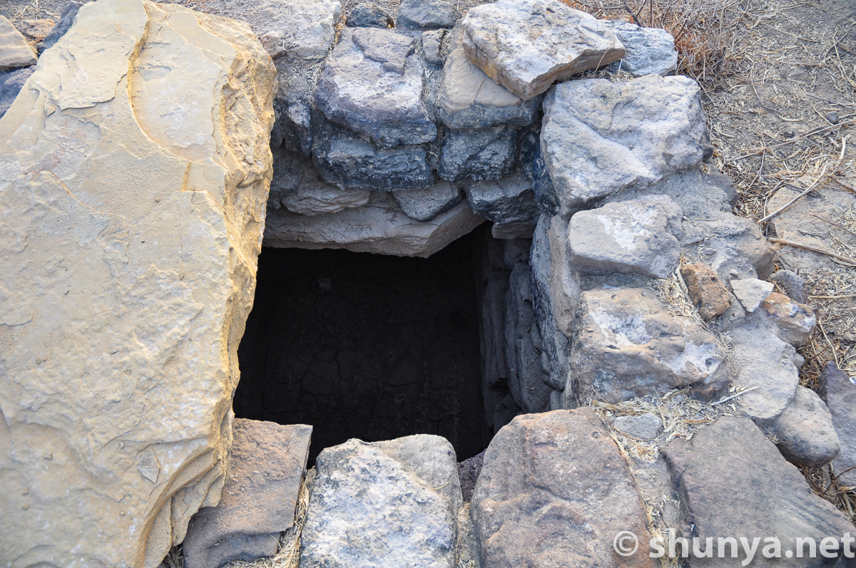
Well with rope marks
|
Water channels (more)
|
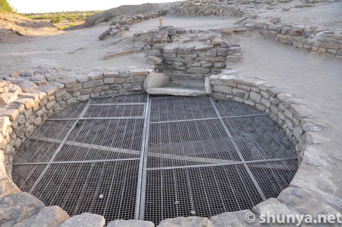
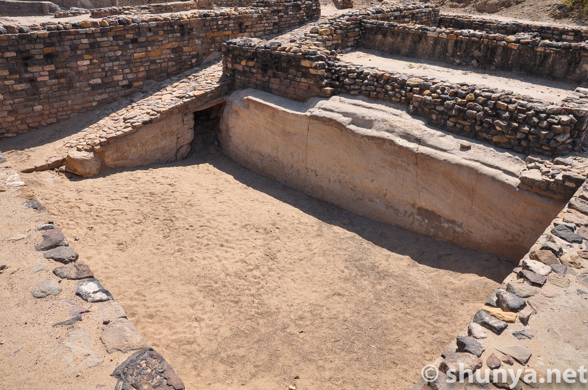
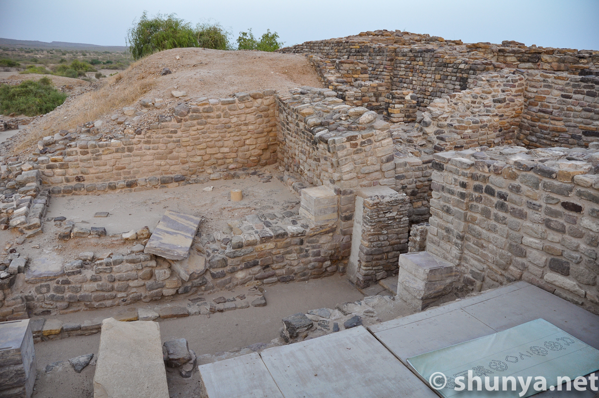
Water tank on the citadel
|
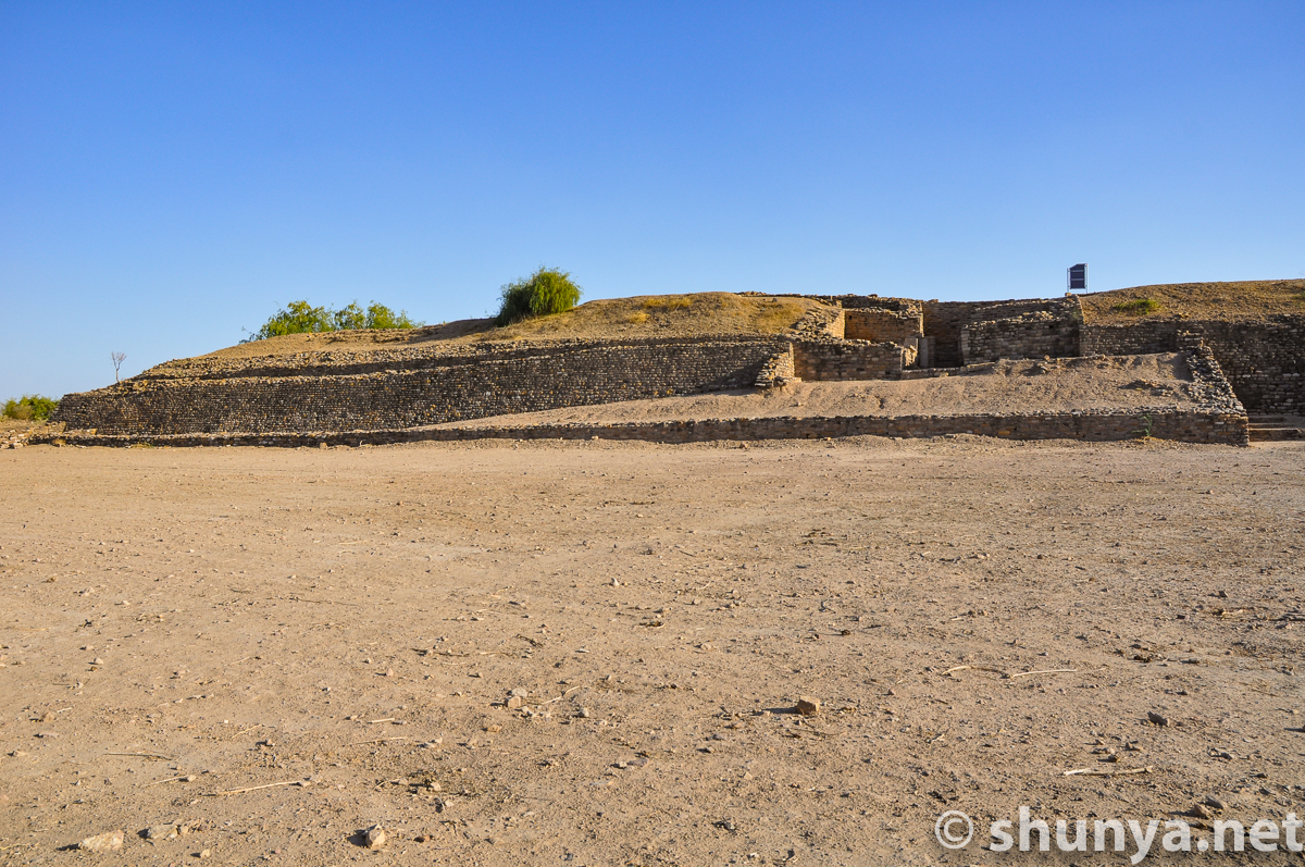
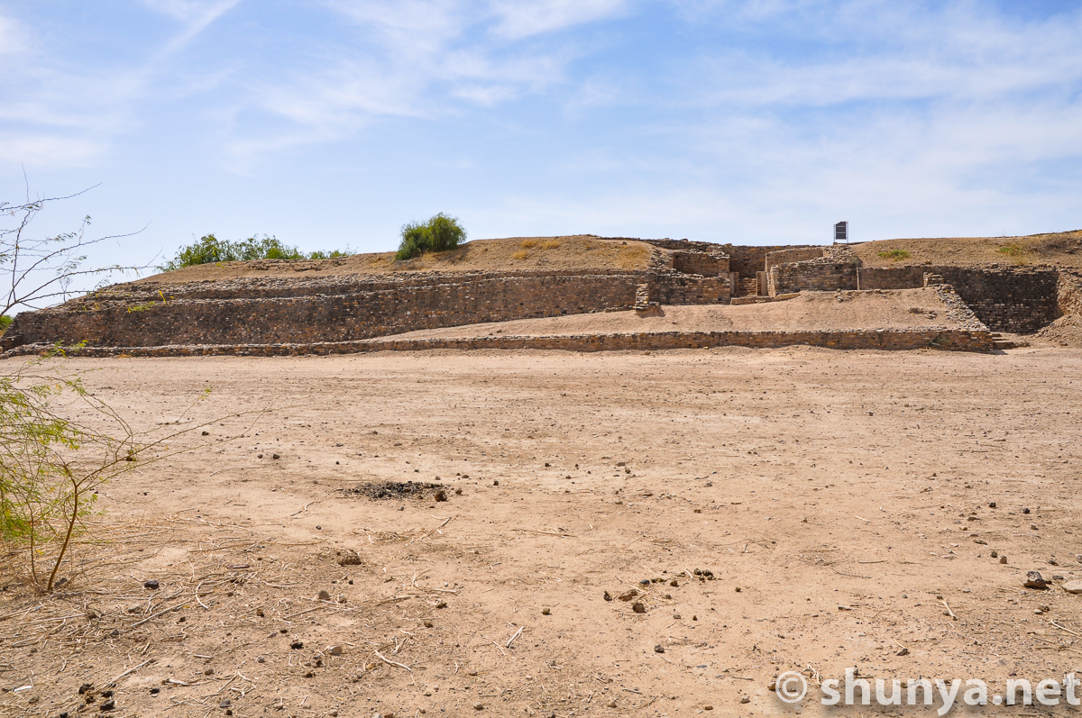
Southern reservoirs from
|
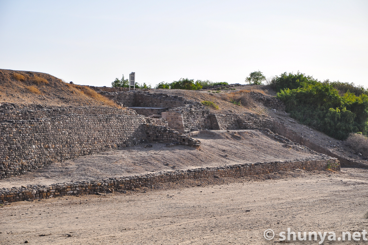
Citadel top
|
|
|
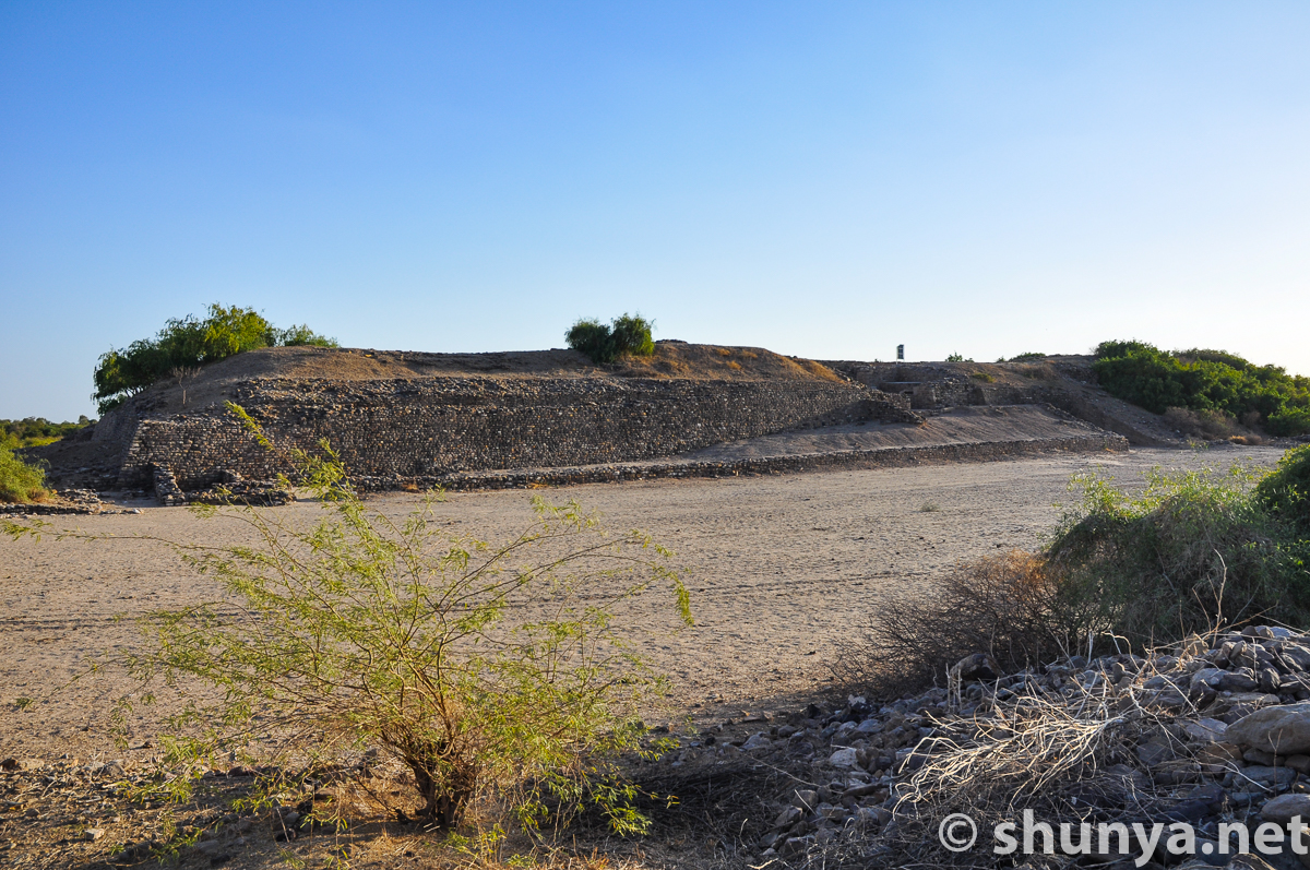
Stadium from the citadel
|
From "stadium" to the
|
|
|
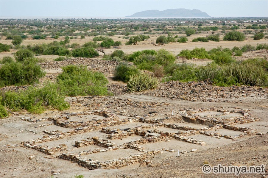
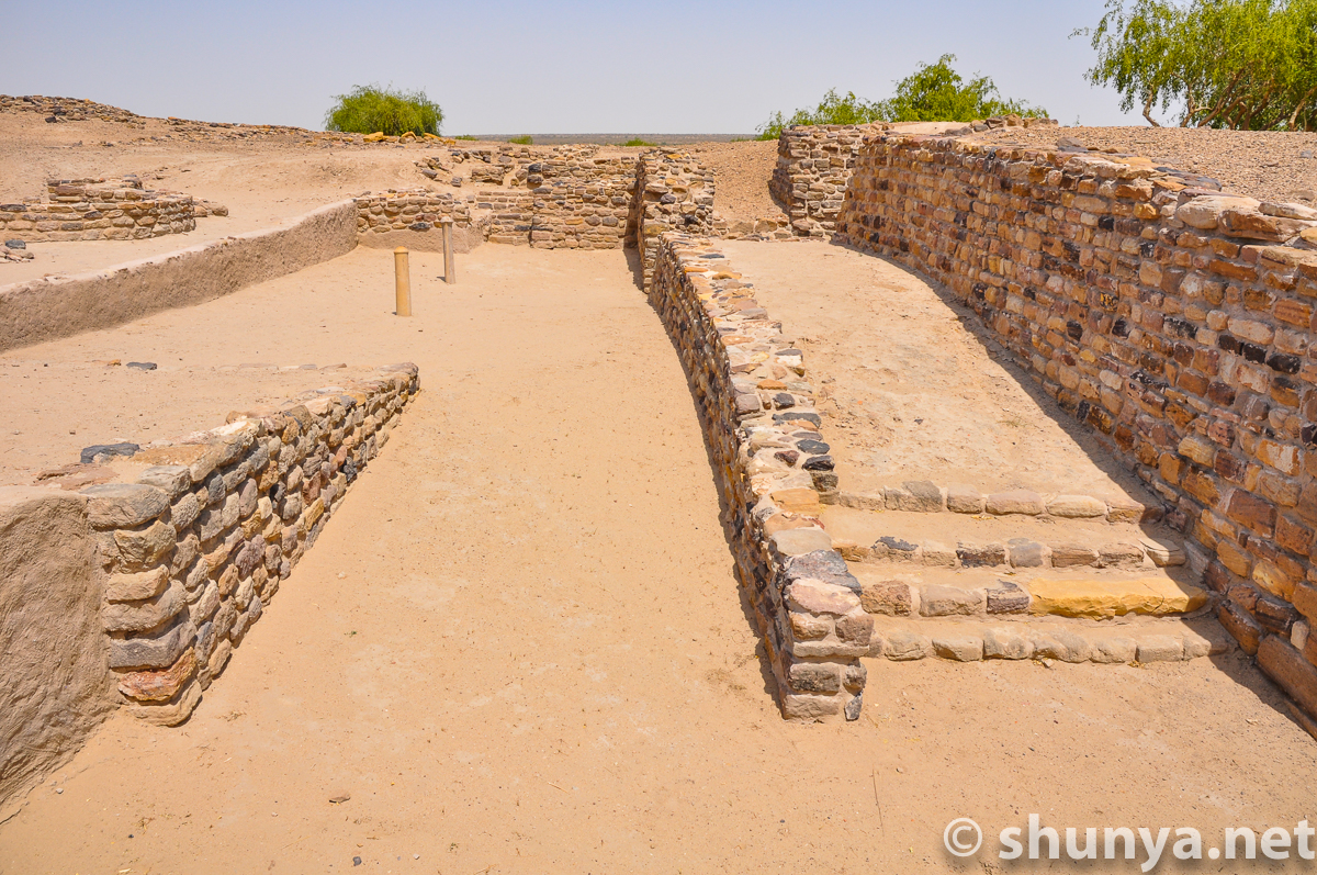
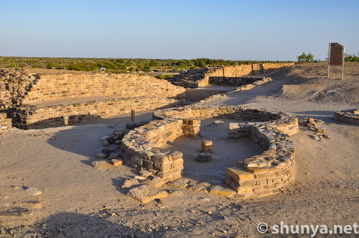
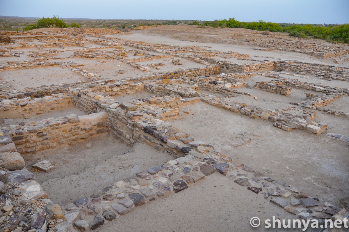
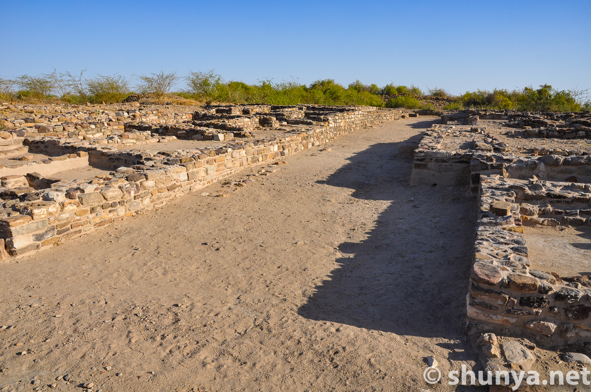
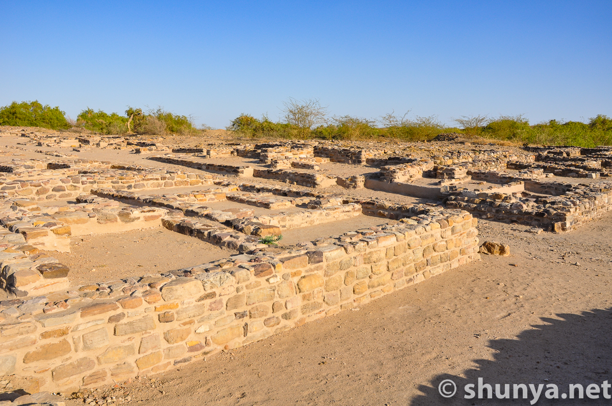
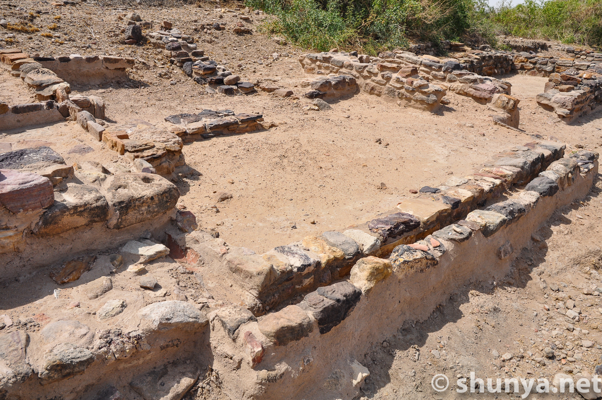
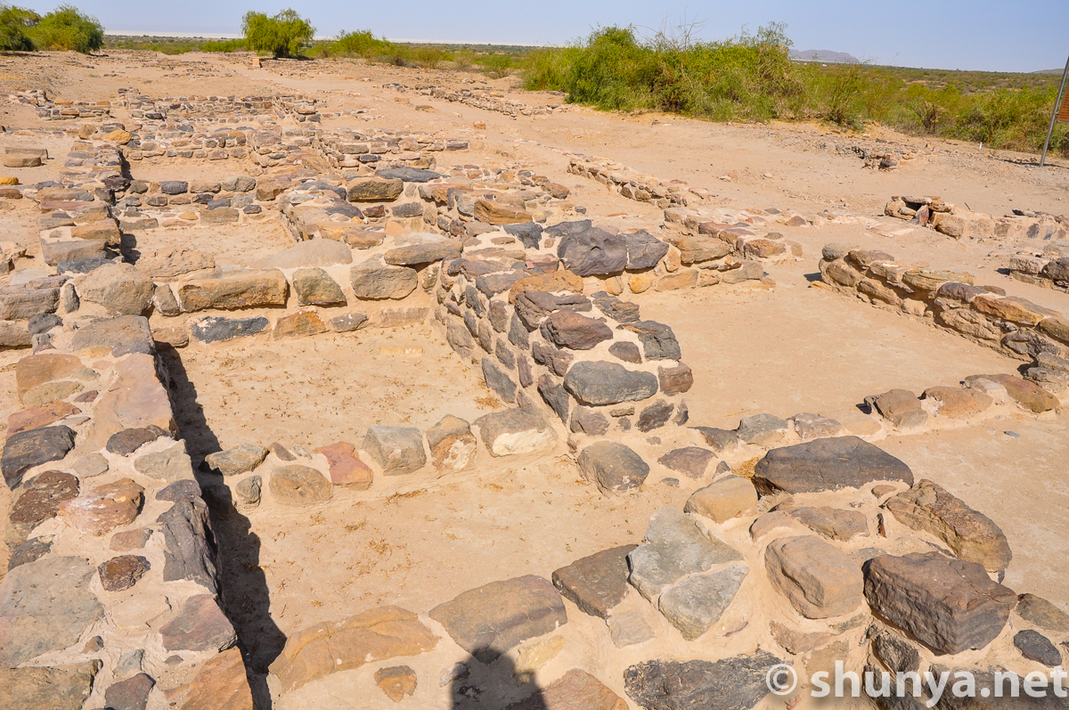
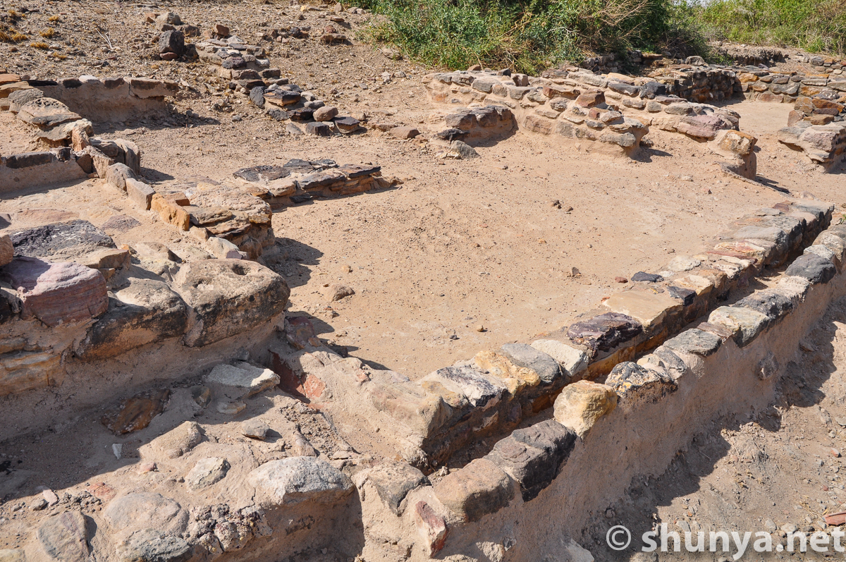
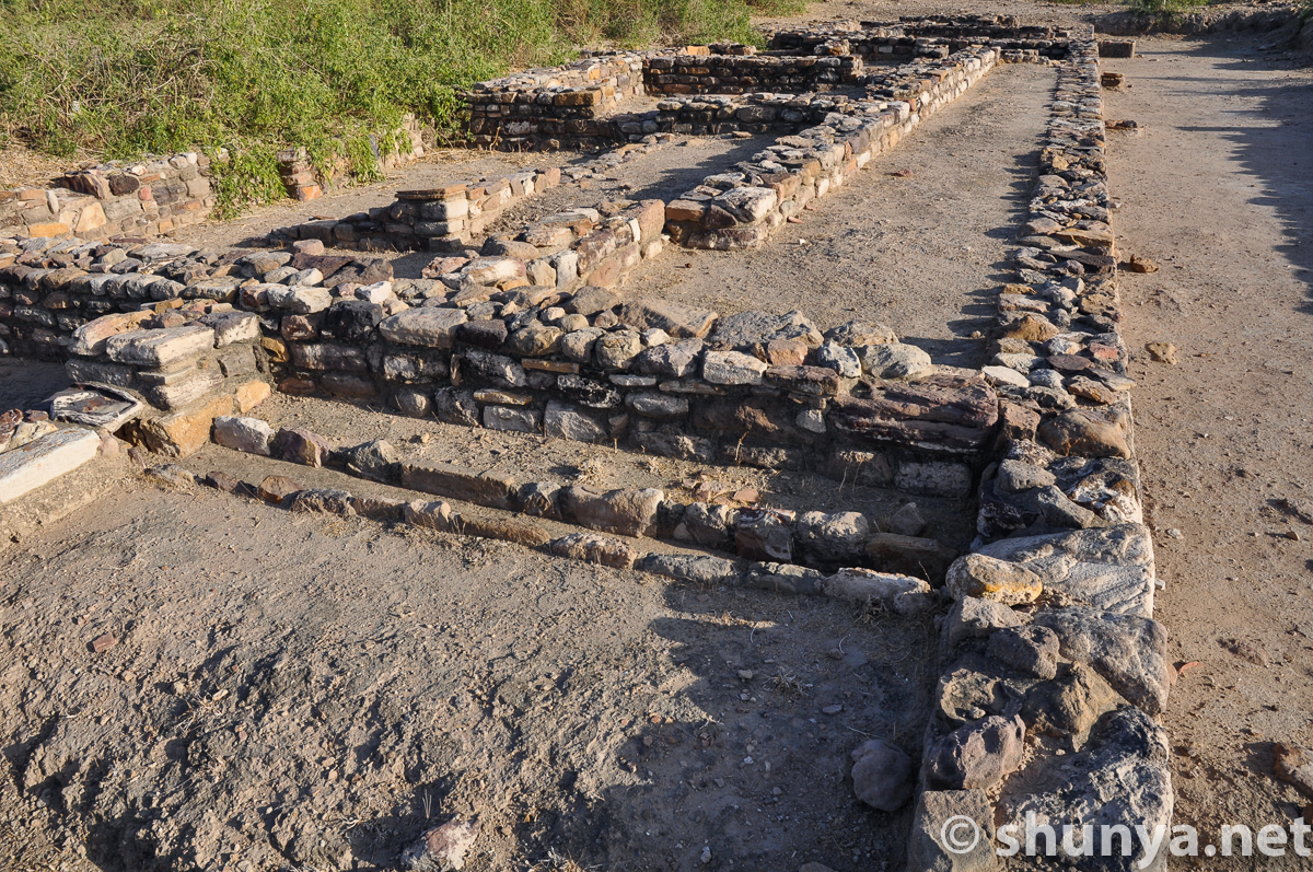
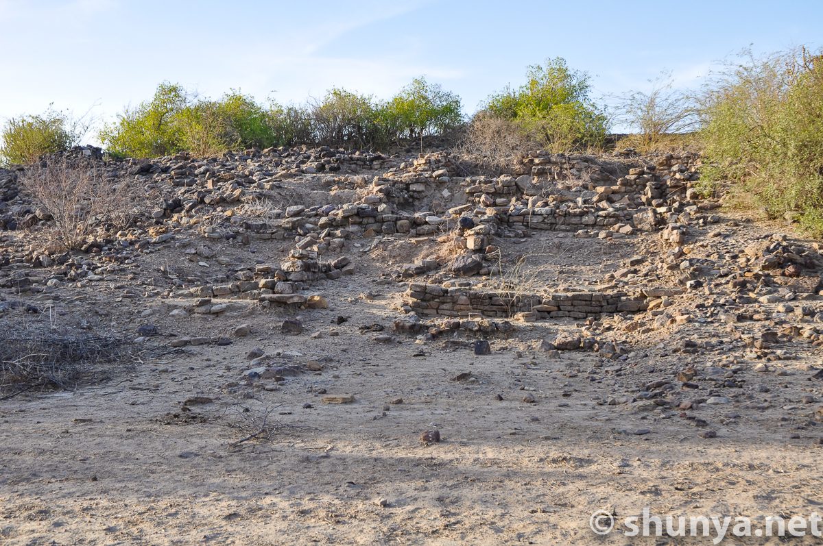
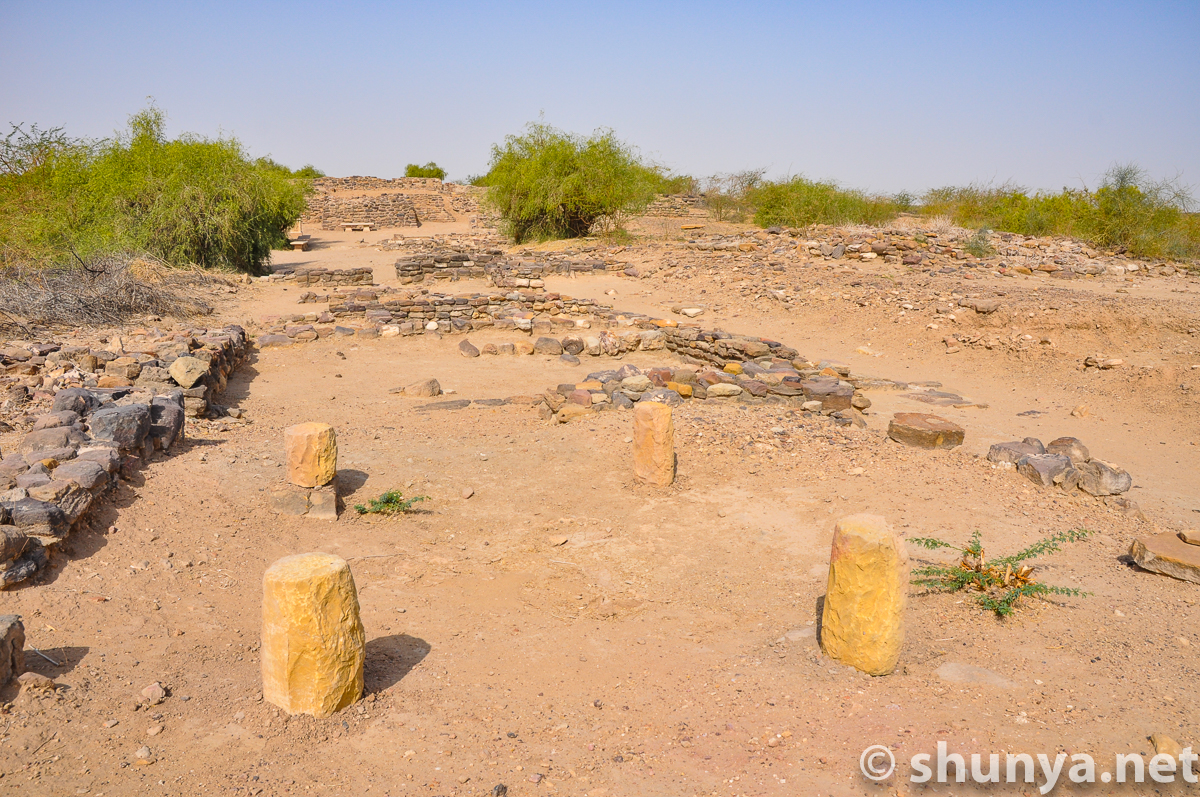
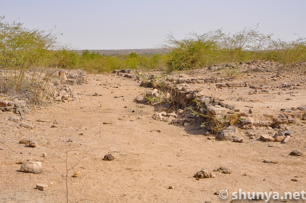
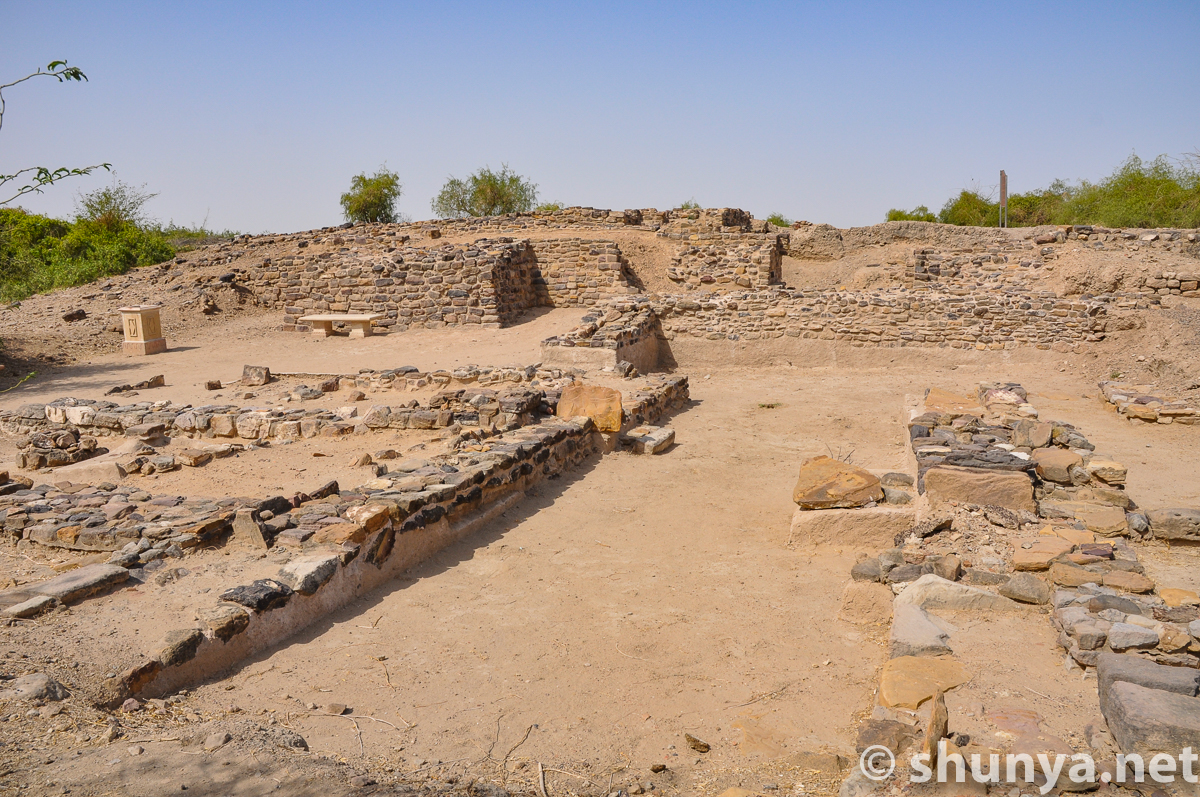
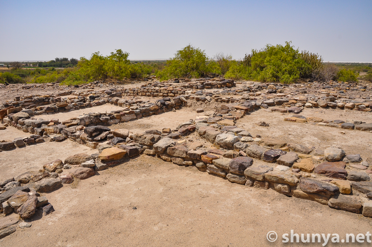
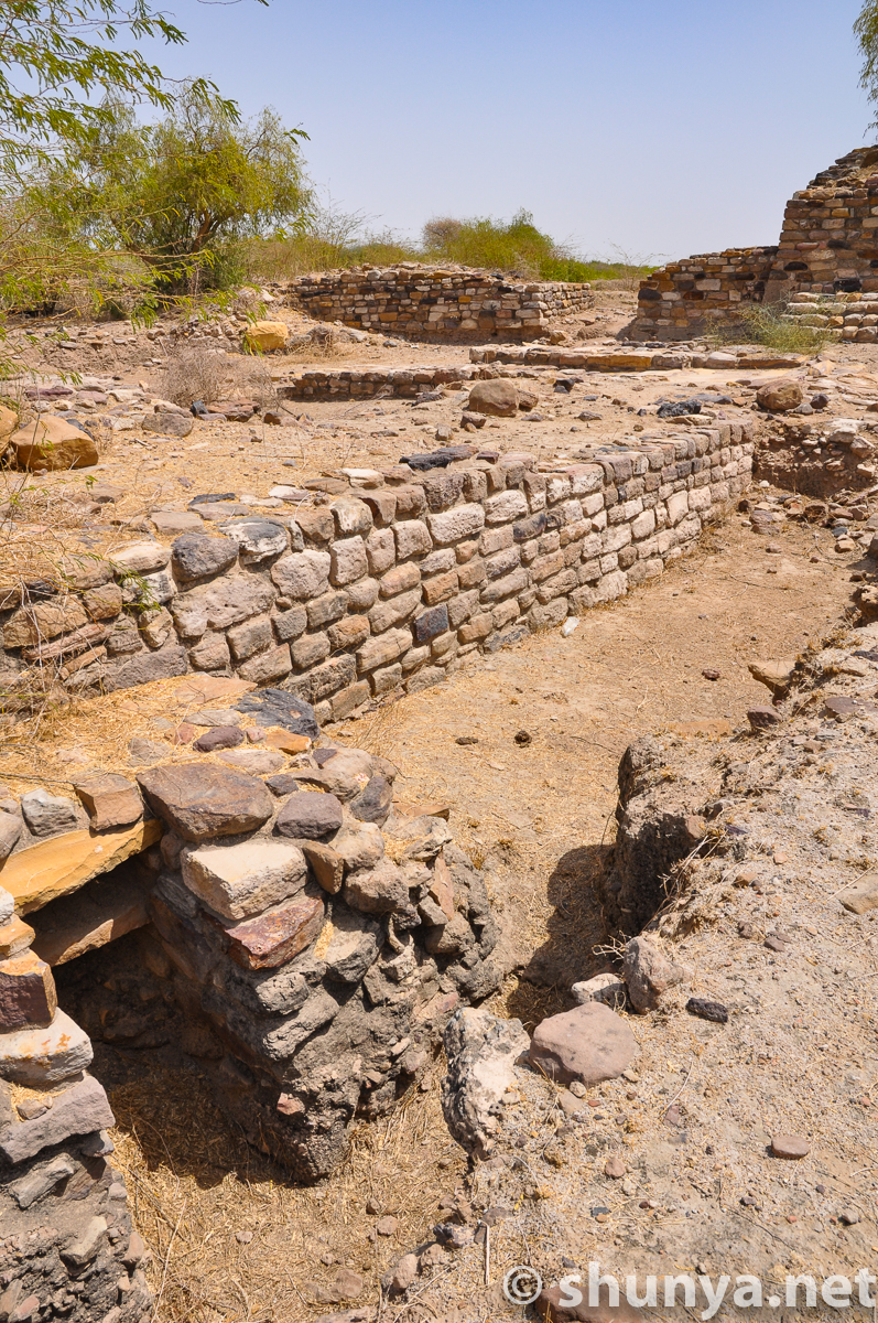
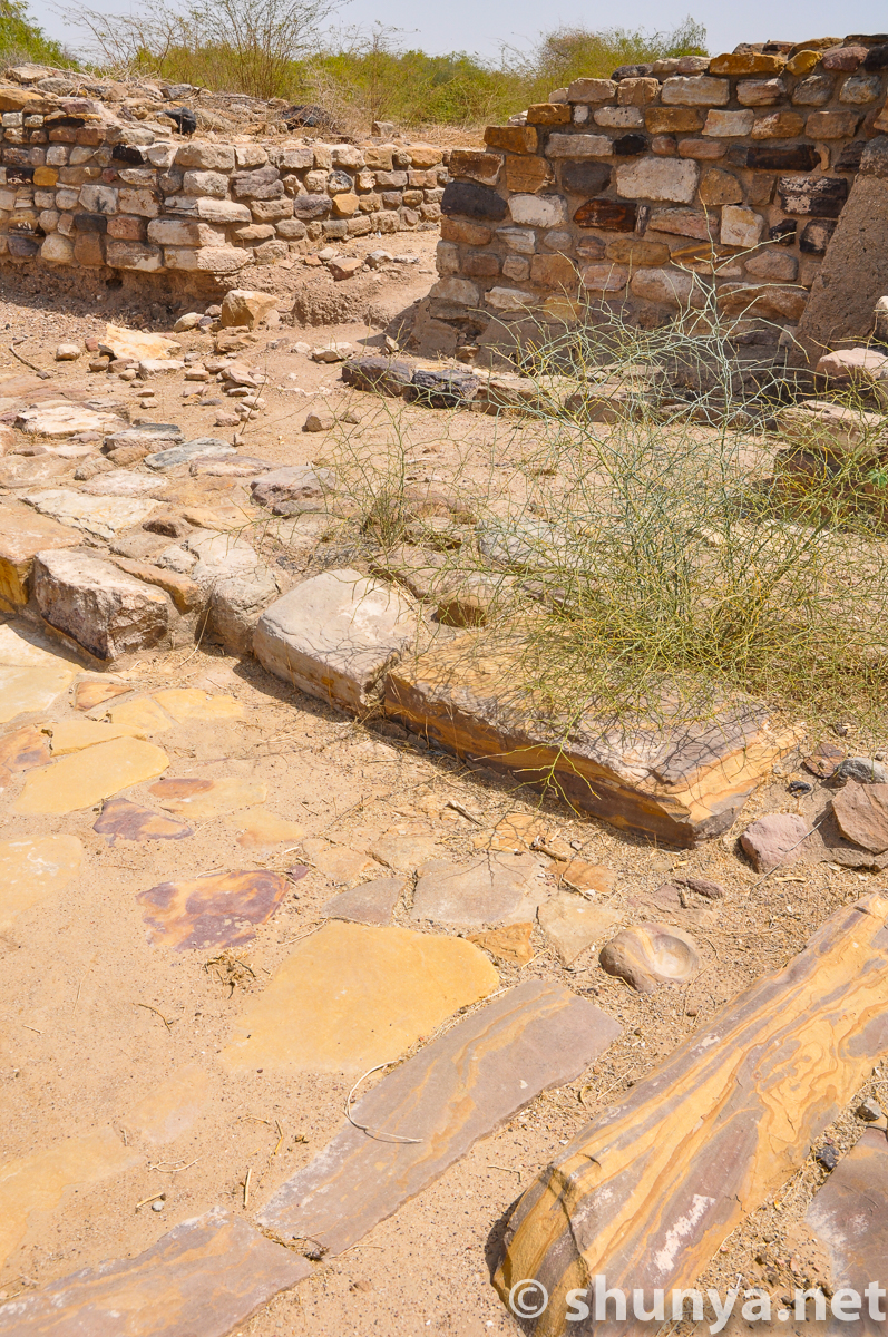
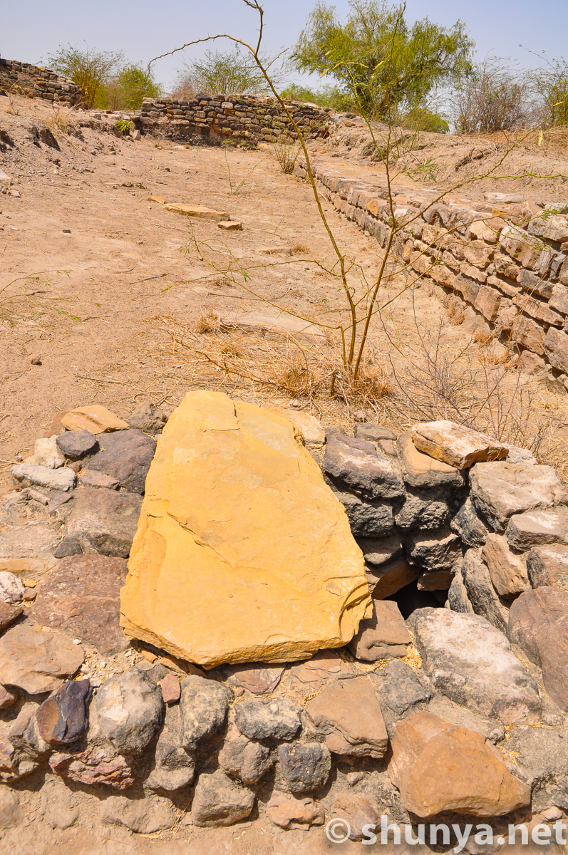
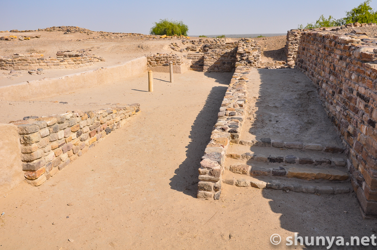
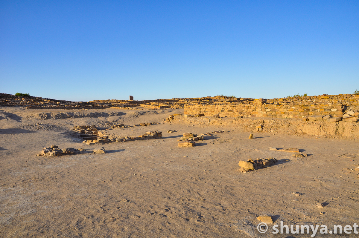
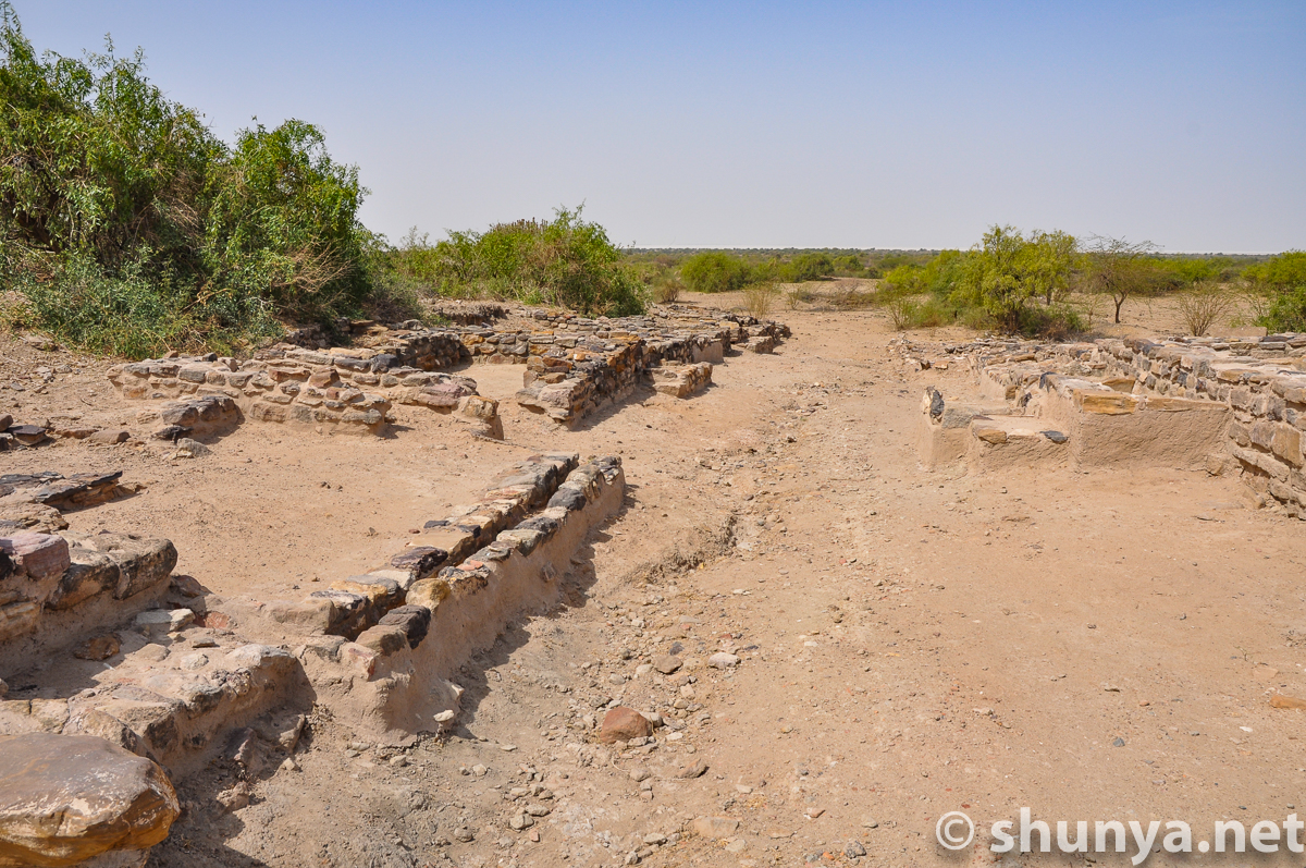
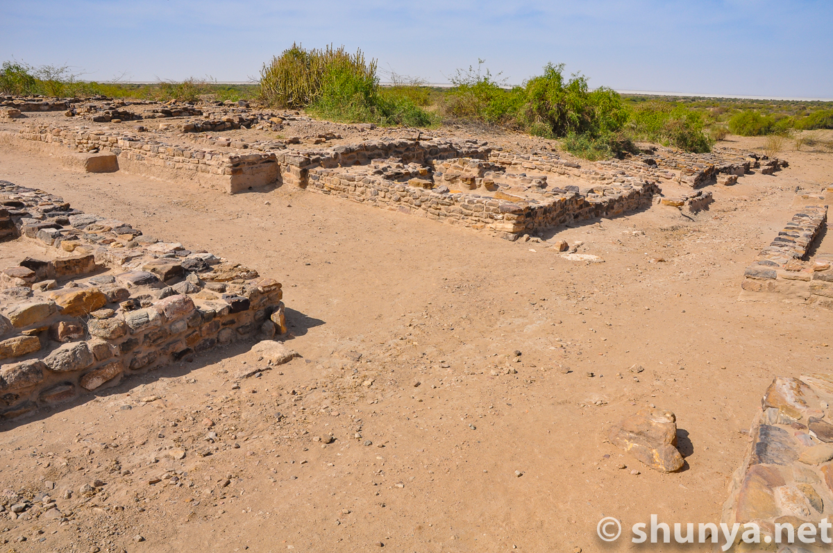
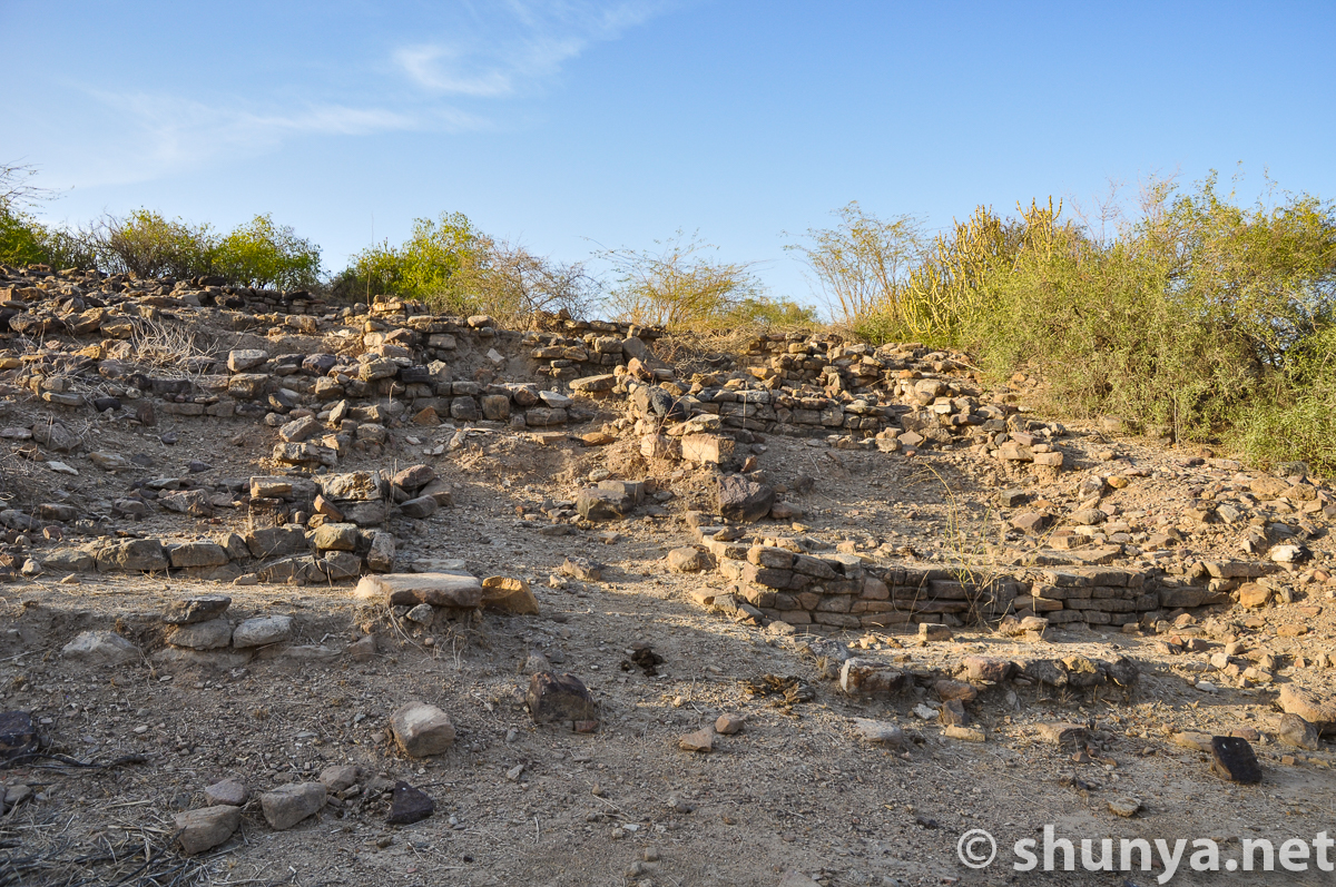
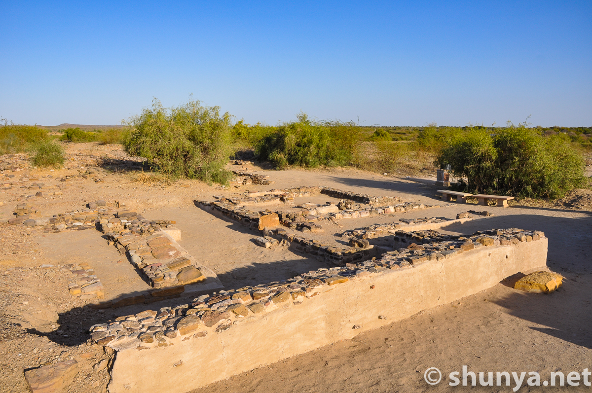
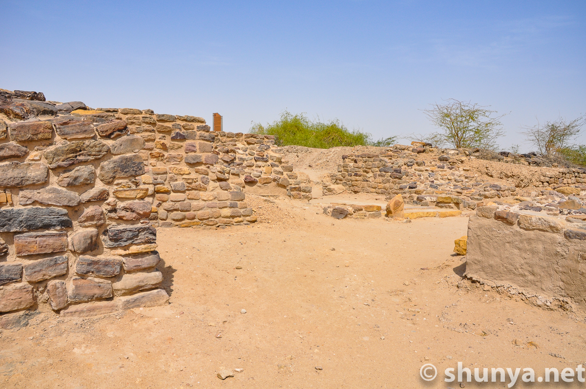
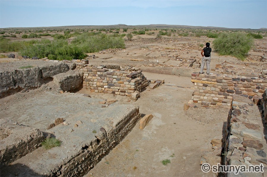
Wall of a middle town
|
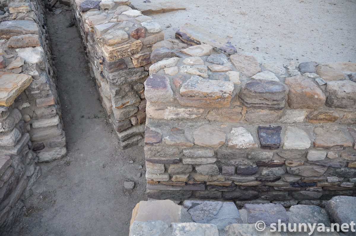
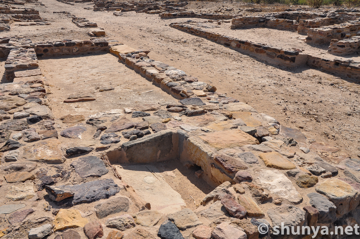
Drain in middle town
|
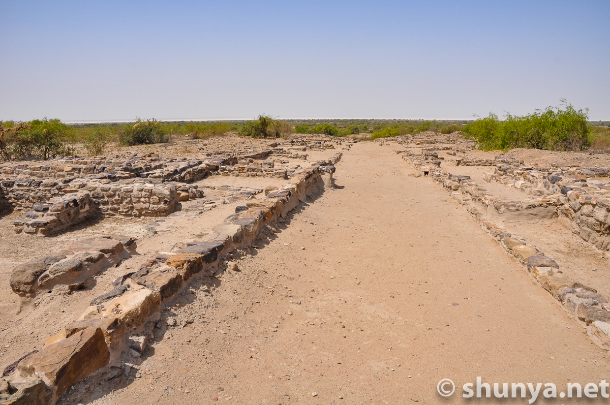
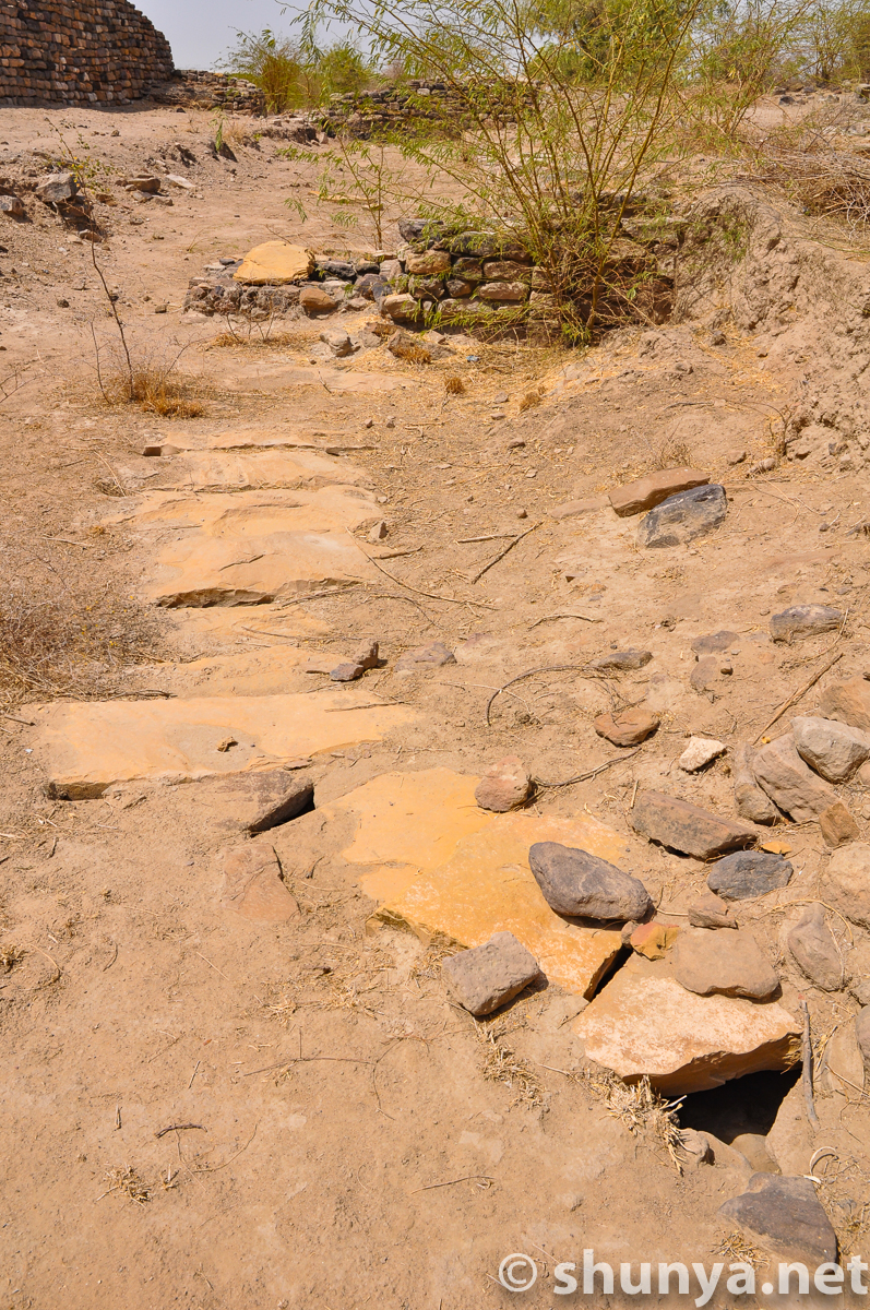
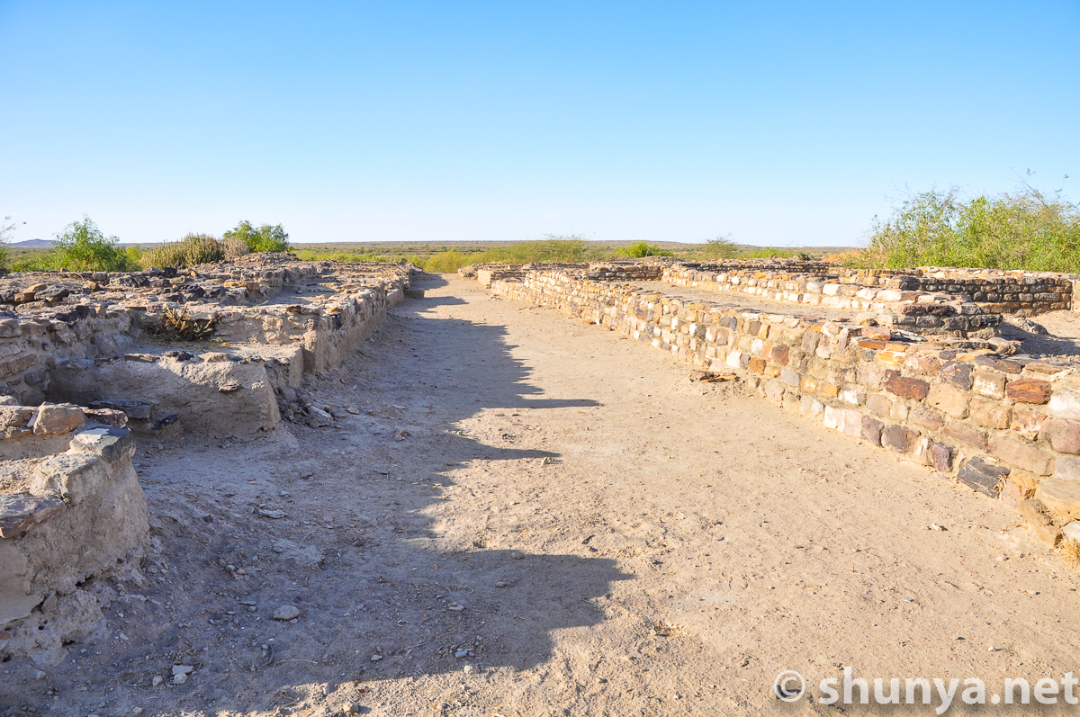
Middle town main st.
|
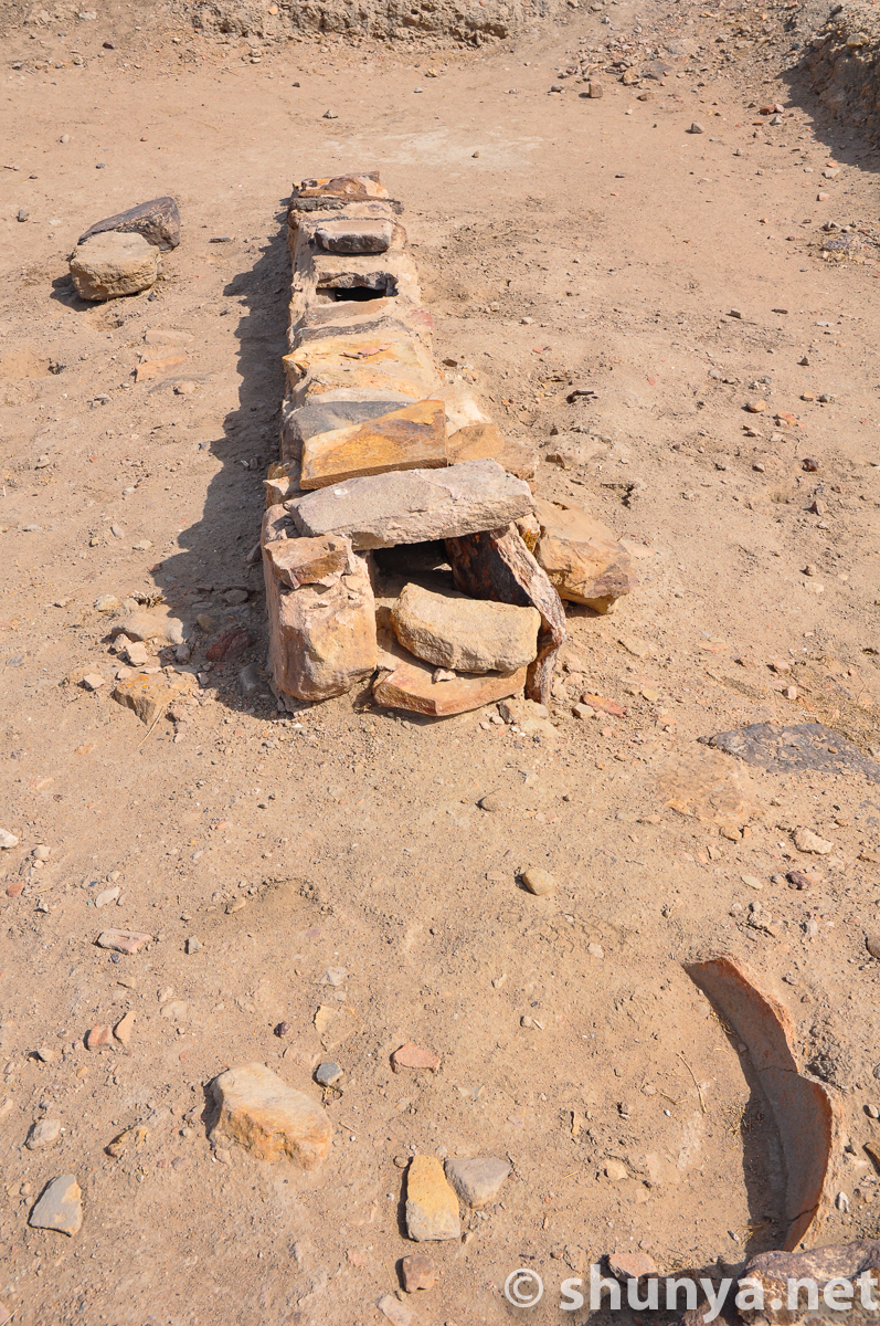
Drain for domestic waste
|
|
Waste water drain leading
|
|
|
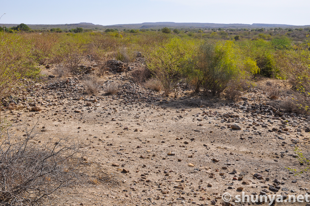
Northern fringes of site
|
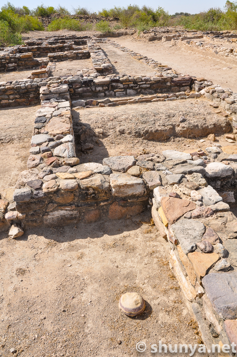
In middle town
|
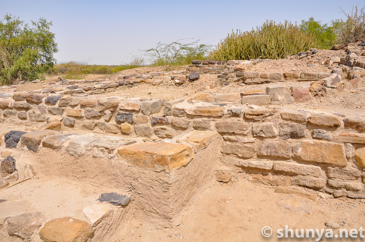
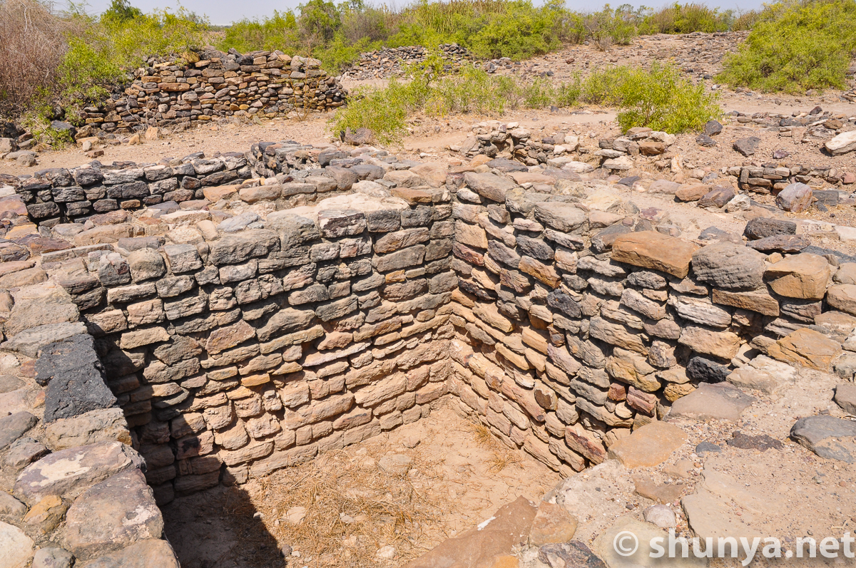
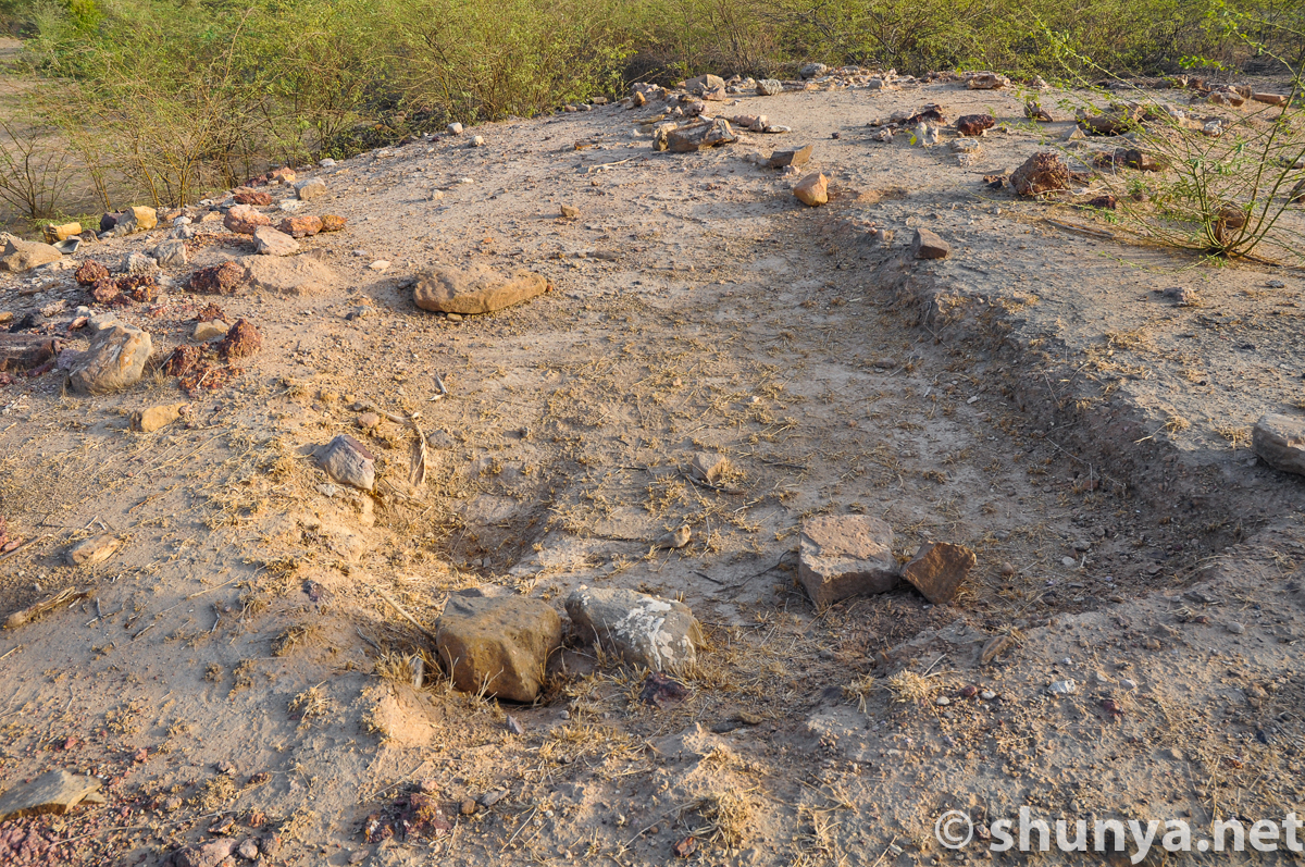
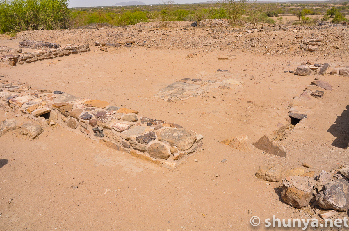
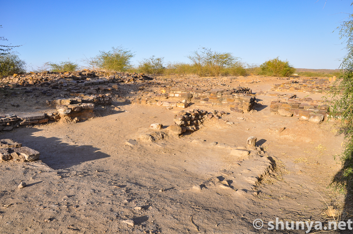
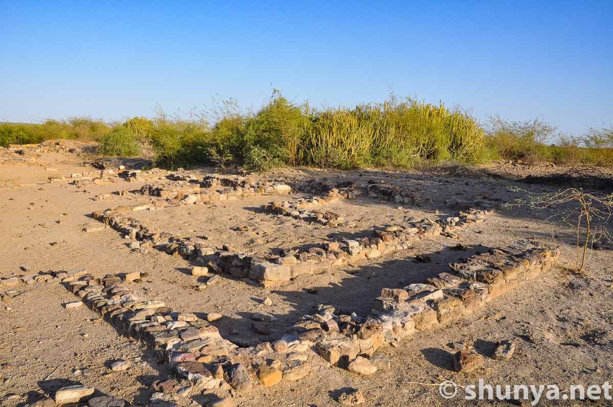
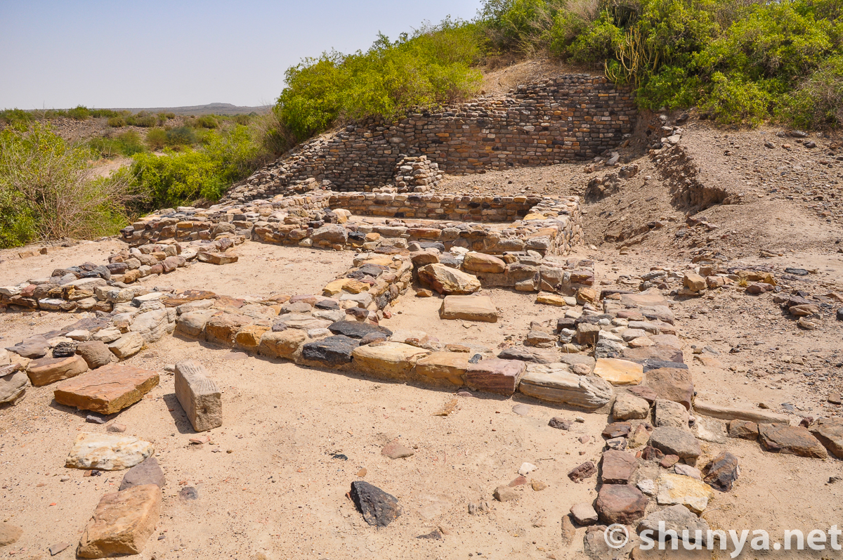
Middle town foundations
|
Middle town remains
|
City wall (more)
|
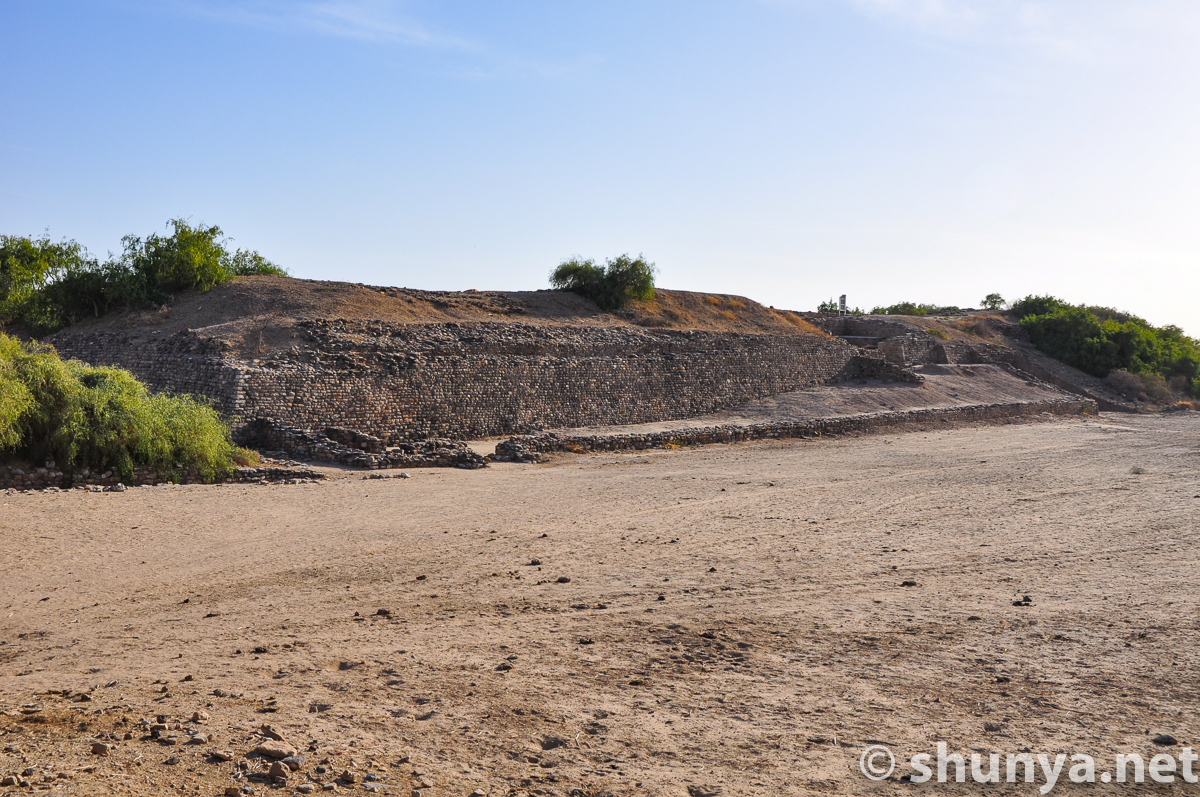
View of citadel from the
|
Citadel from the stadium
|
Citadel from the stadium
|
Stadium stands (more)
|
Middle town and lower
|
Back in middle town
|
Scores of homes
|
Once a neighborhood
|
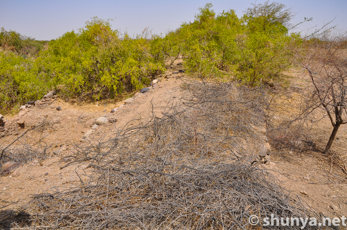
Going from middle town to
|
Walking towards
|
|
A bit more congested here
|
Eastern lower town (more)
|
Lower town homes
|
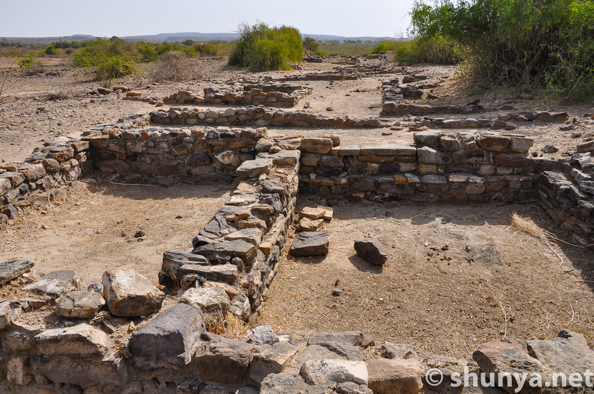
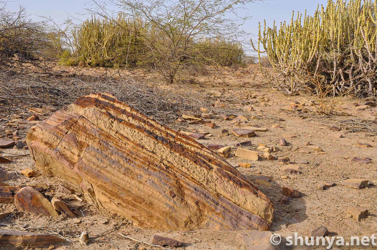
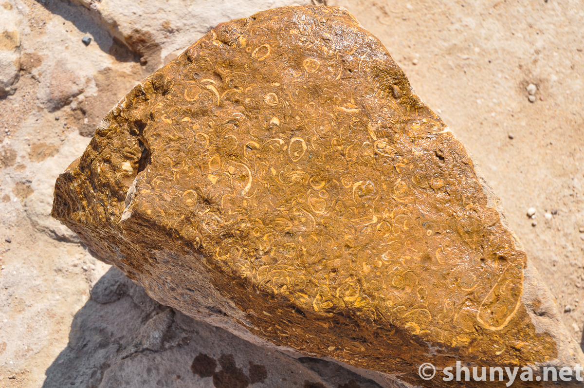
A fossil rock (more)
|
Lower town st. peters out
|
An ancient well
|
Lower town meets
|
Entrance to middle town
|
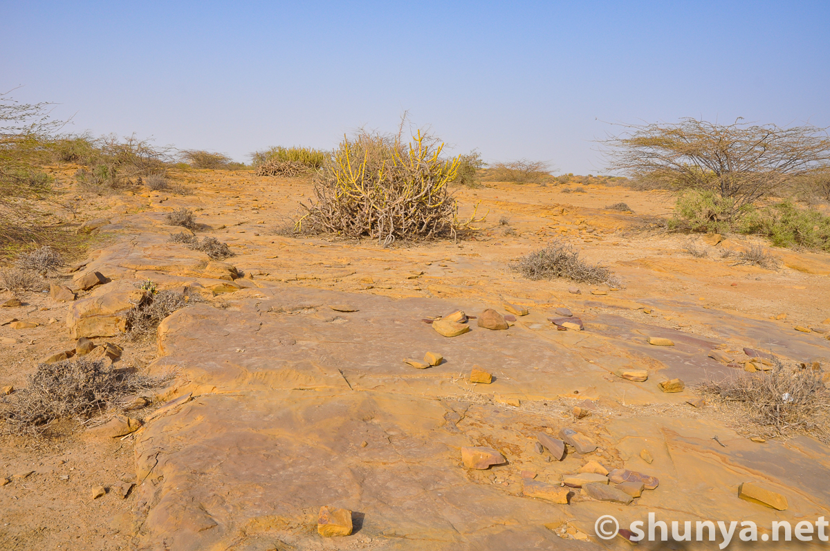
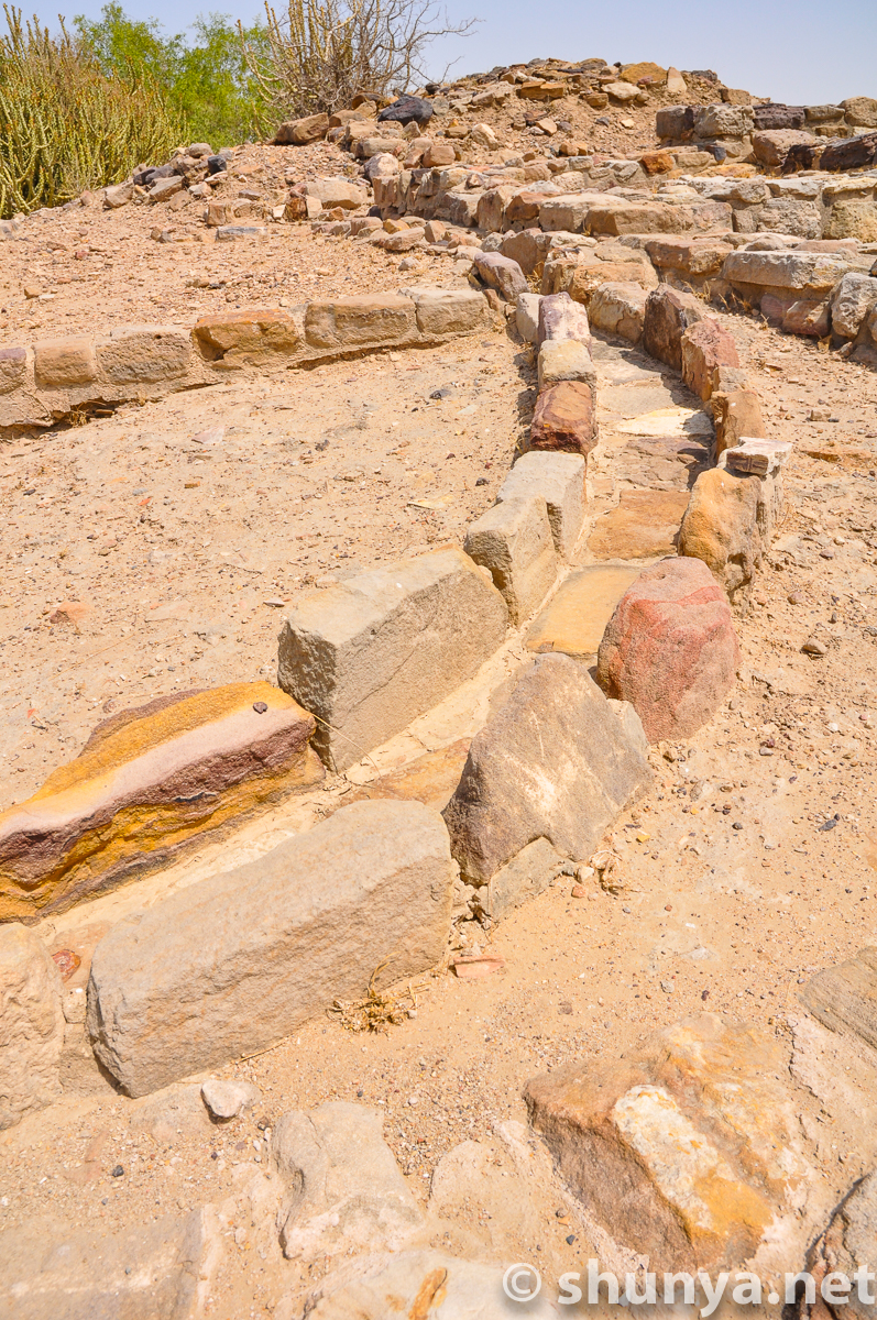
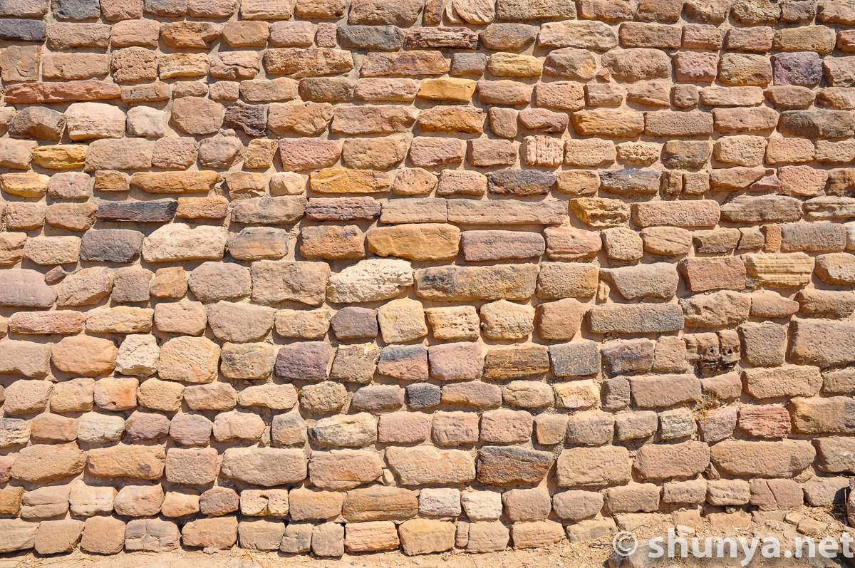
Textured stones
|
Stadium and citadel from
|
Stadium entrance
|
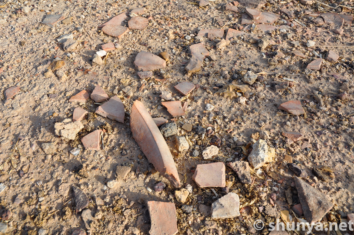
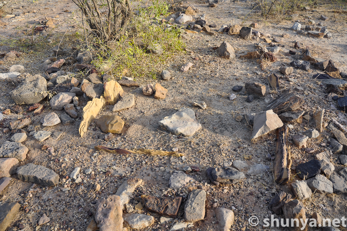
Pottery shards abound
|
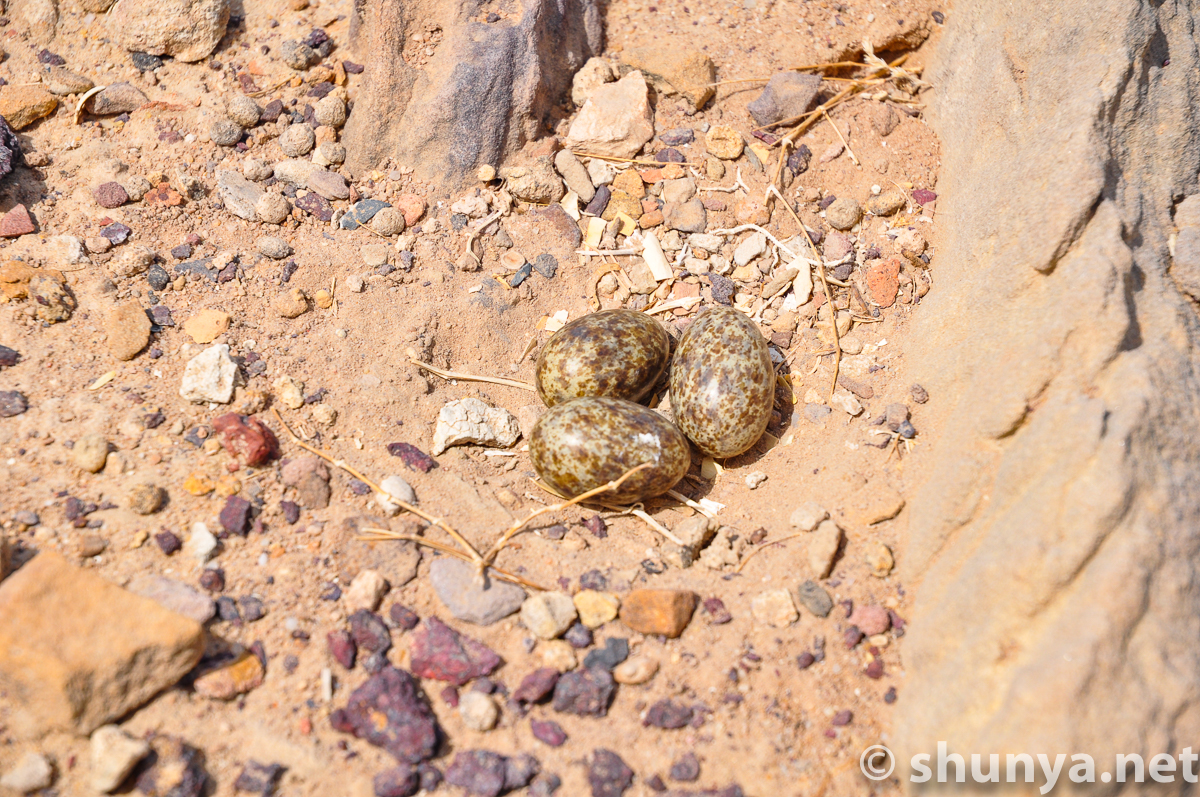
Some bird's eggs
|
View of "The Bailey"
|
Storage sites in the Bailey?
|
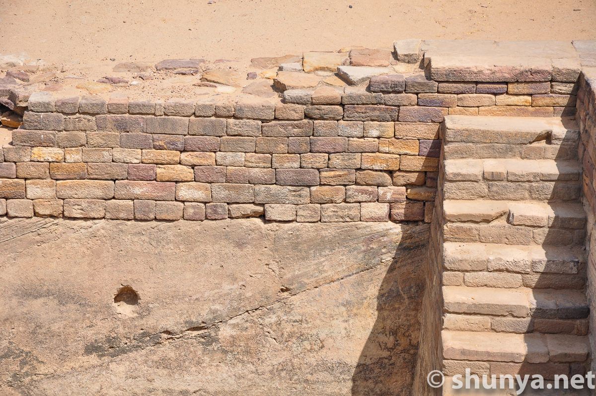
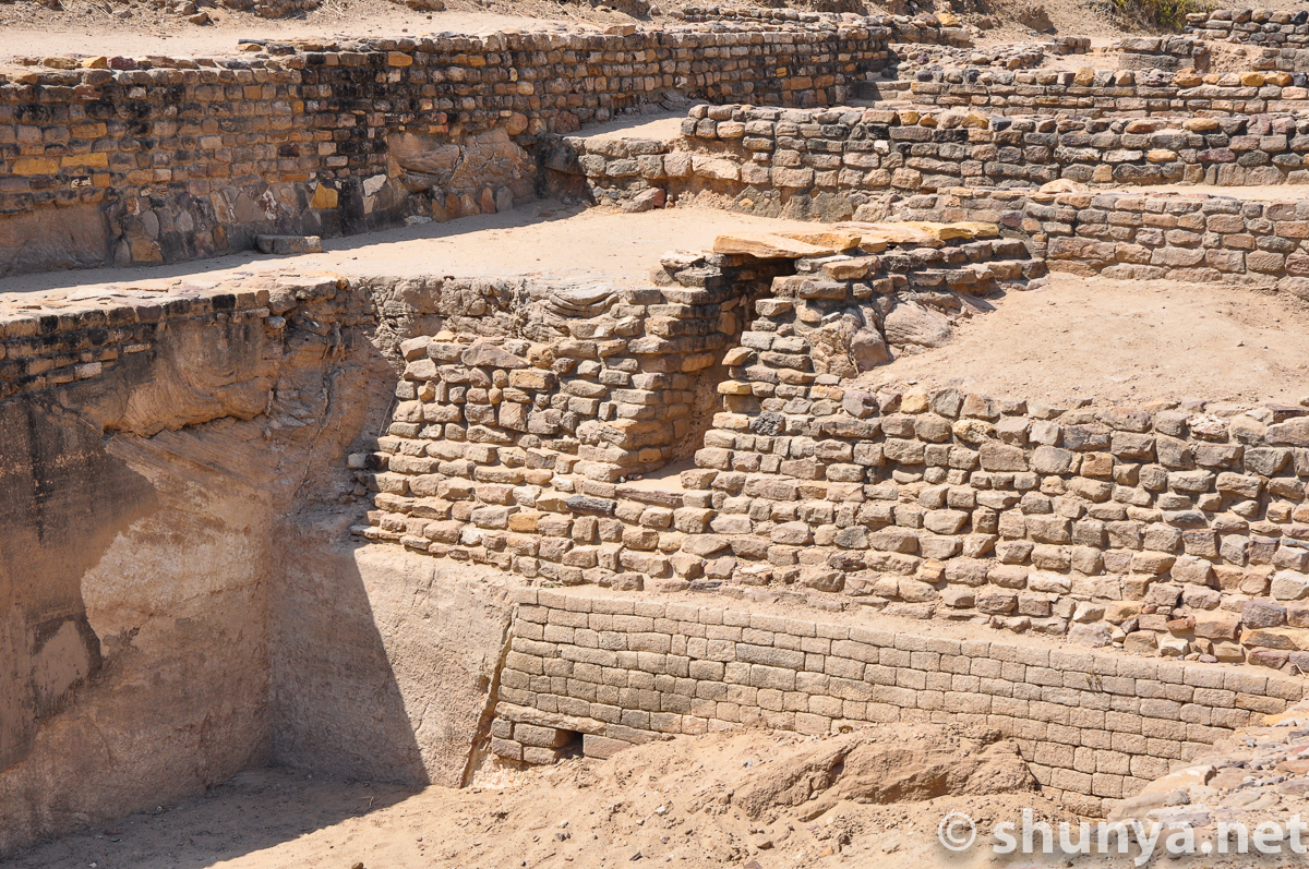
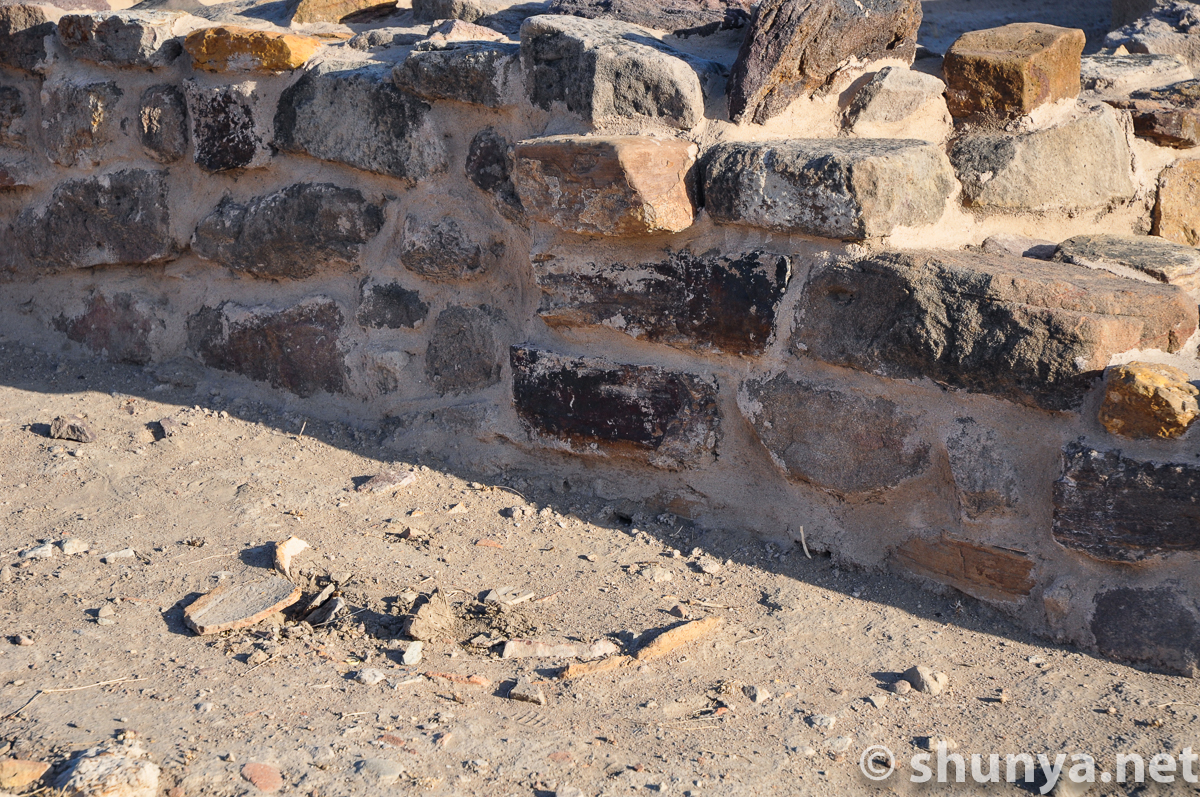
Citadel walls (detail)
|
Wall detail
|
Residential structures in
|
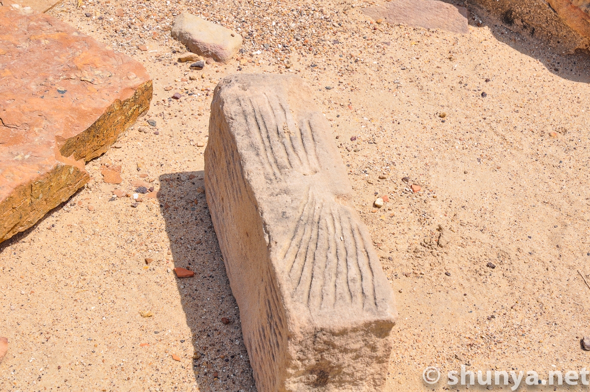
Sharpening stones (more)
|
Remains of the bailey
|
From the bailey to the
|
Water harvesting drain
|
Multihued stones (more)
|
Underground drains
|
|
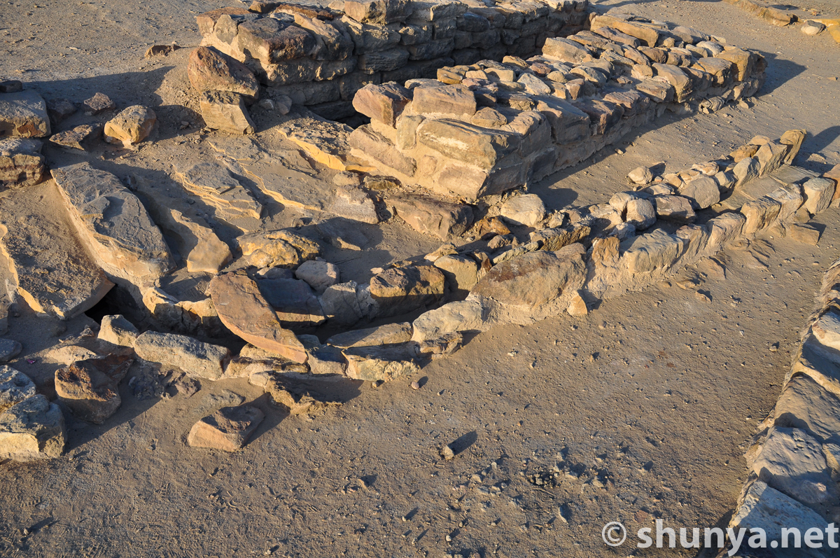
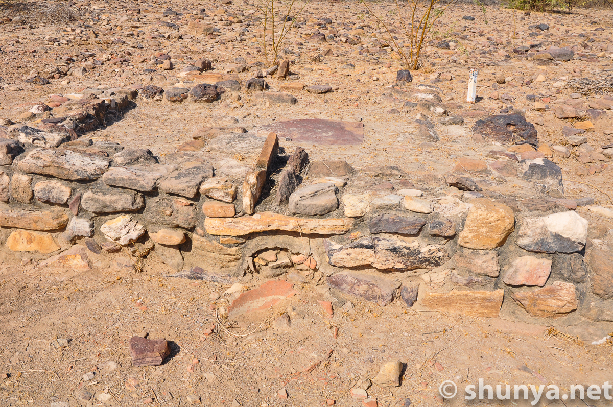
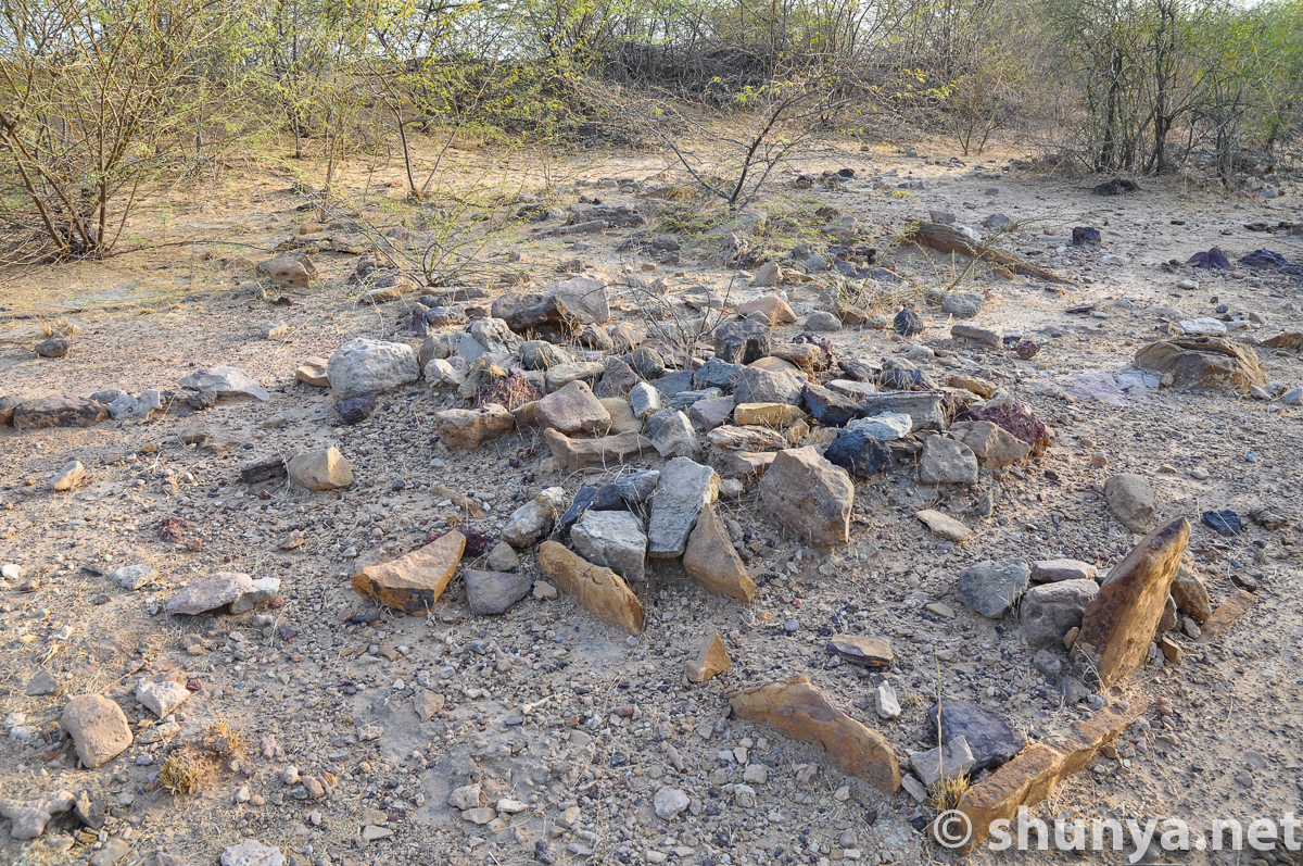
Burial mounds on the
|
Symbolic burial or
|
|
More cenotaphs
|
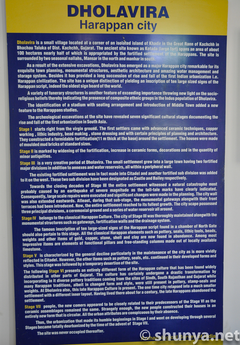
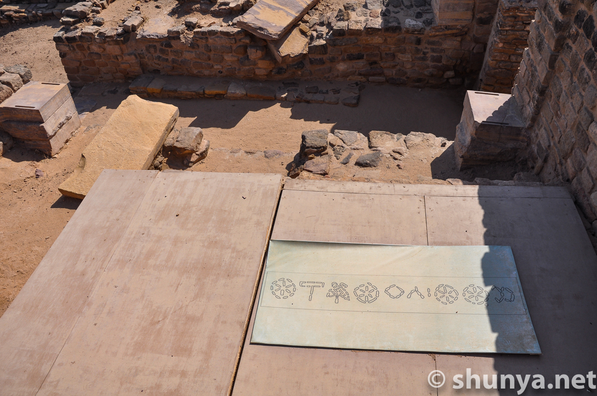
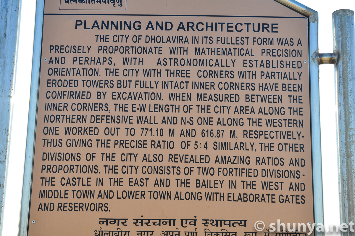
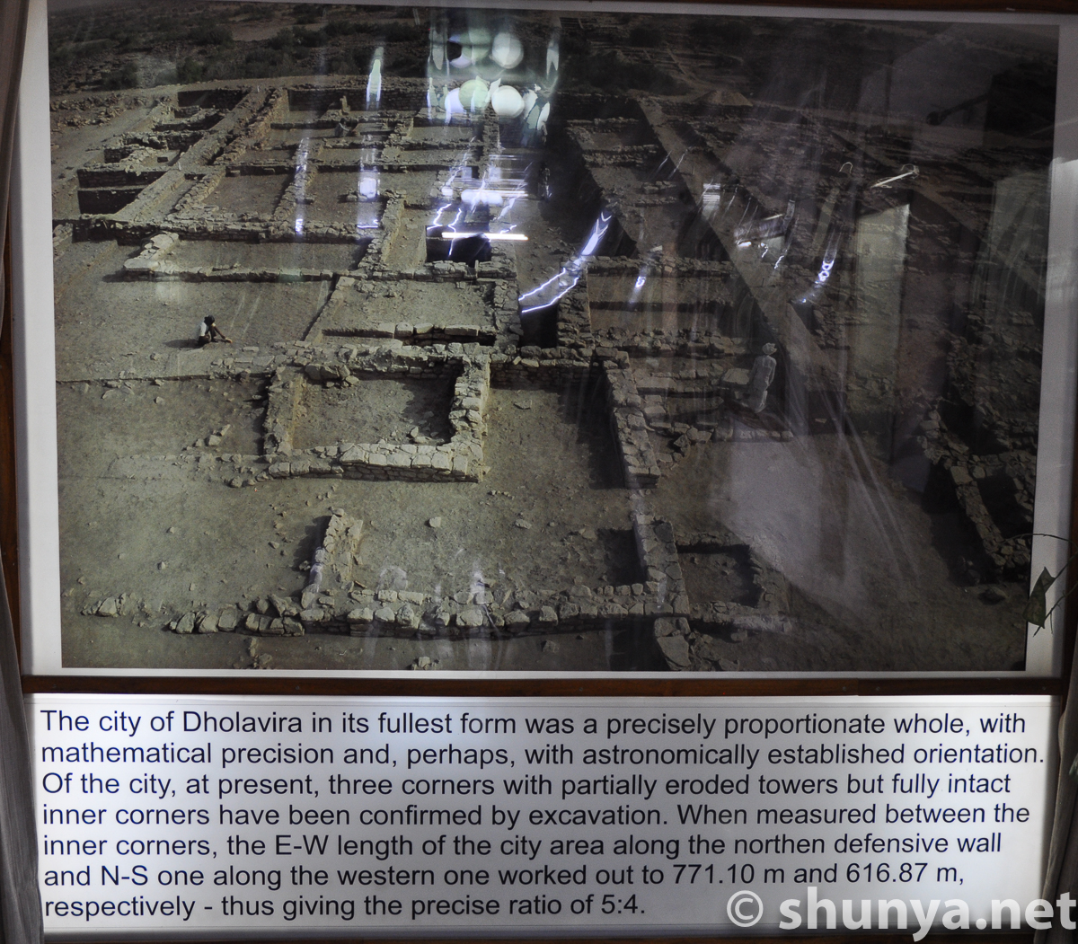
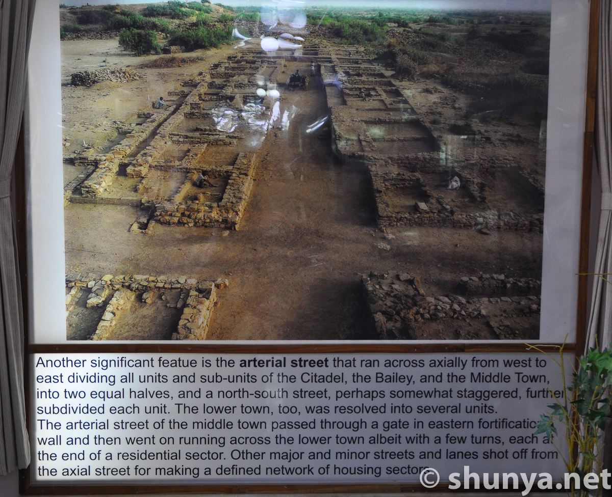
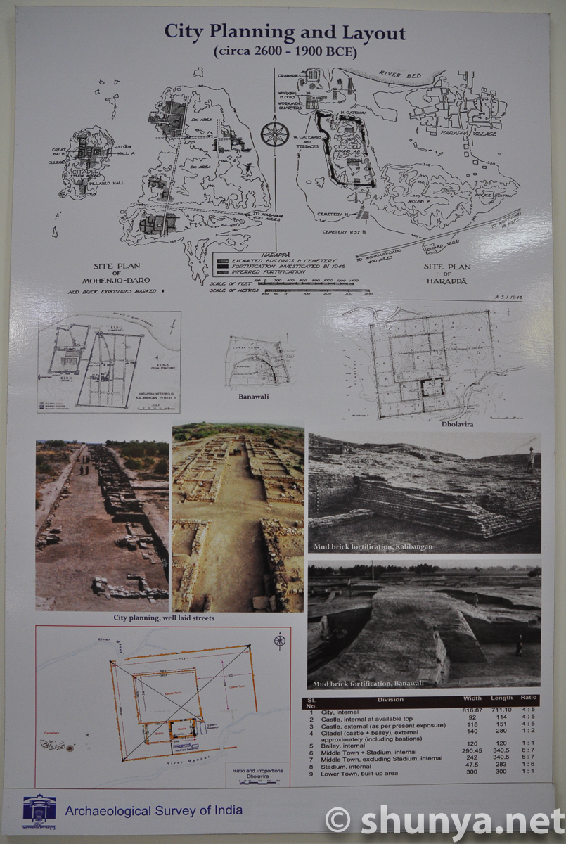
City planning info
|
|
Citadel's southeast corner
|
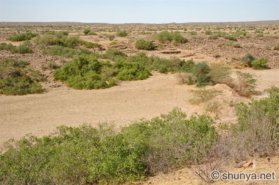
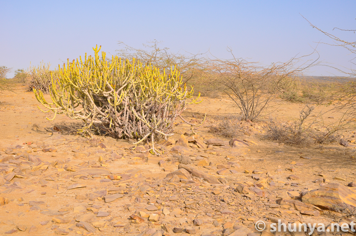
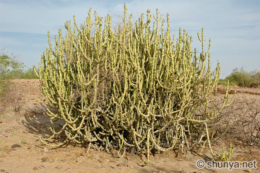
Local vegetation
|
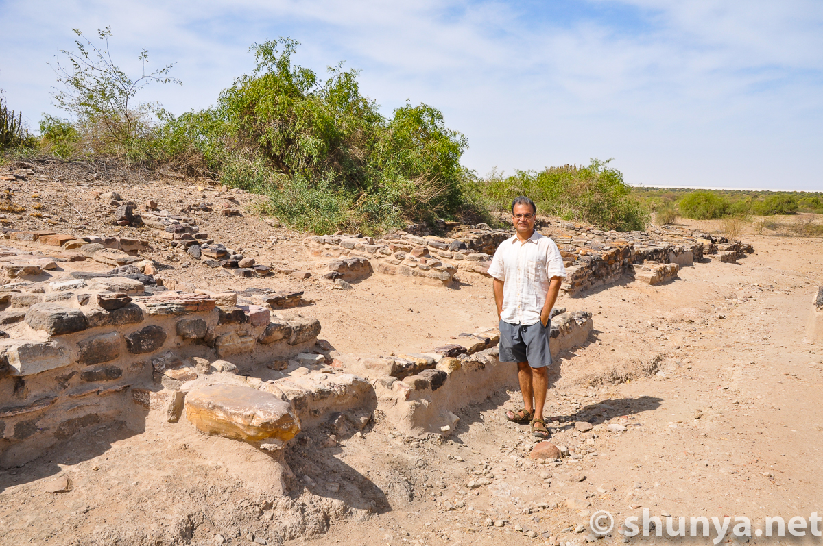
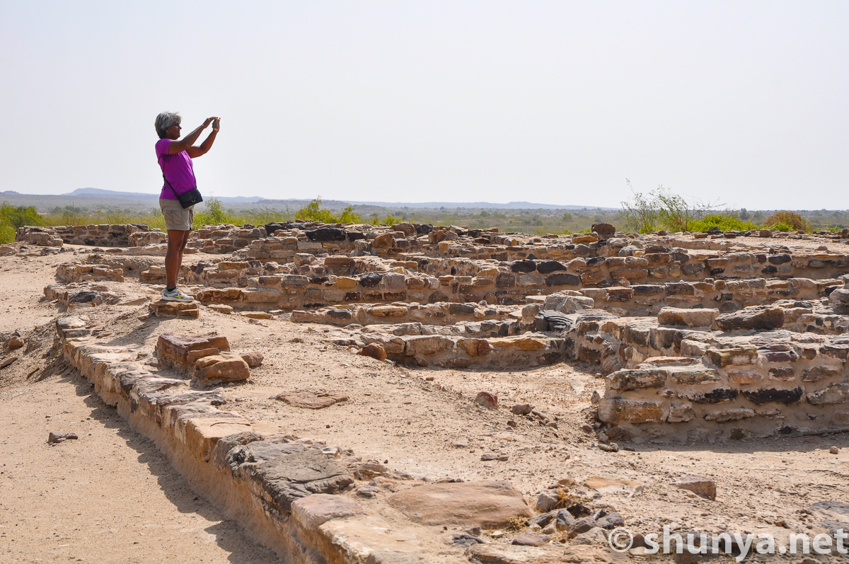
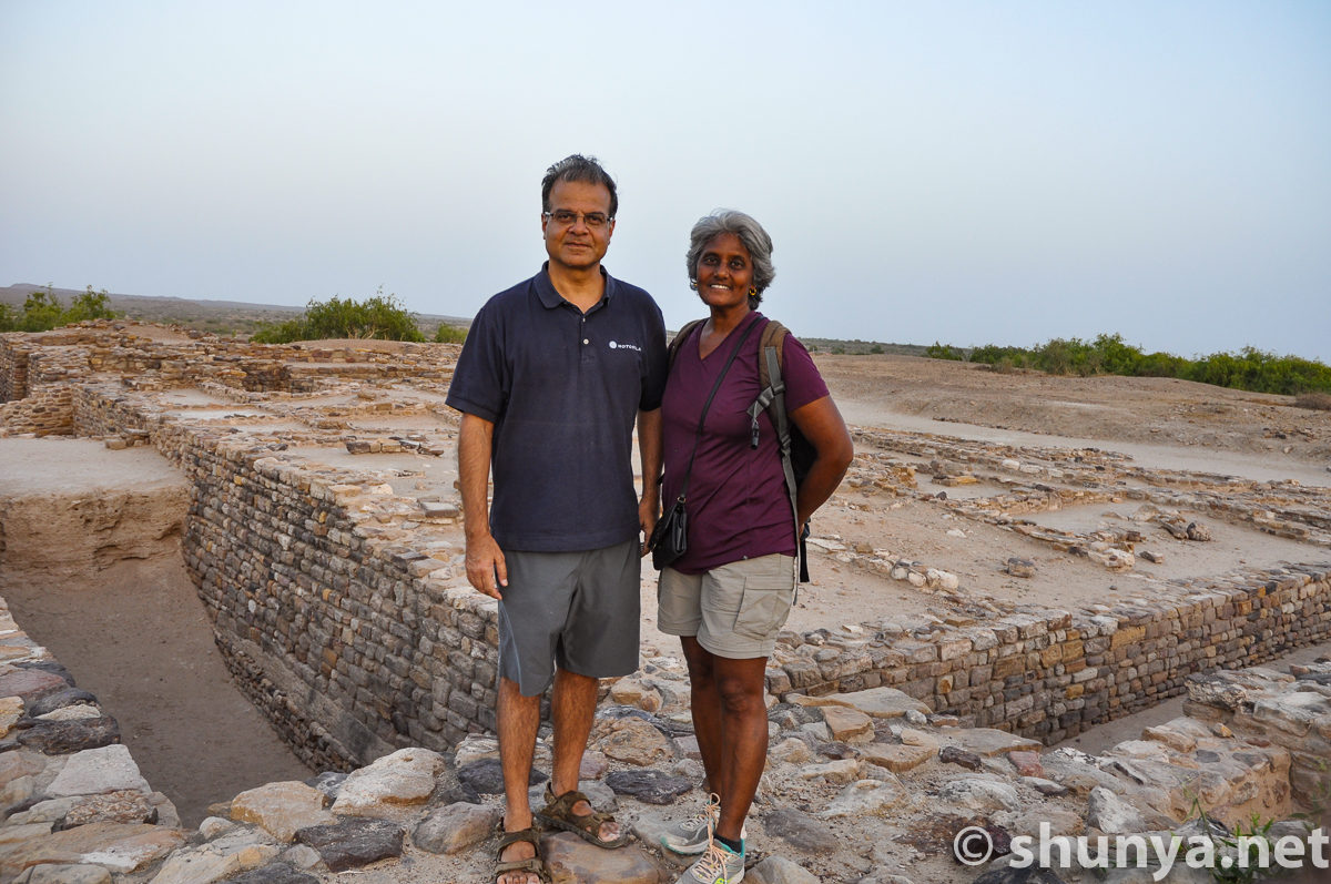
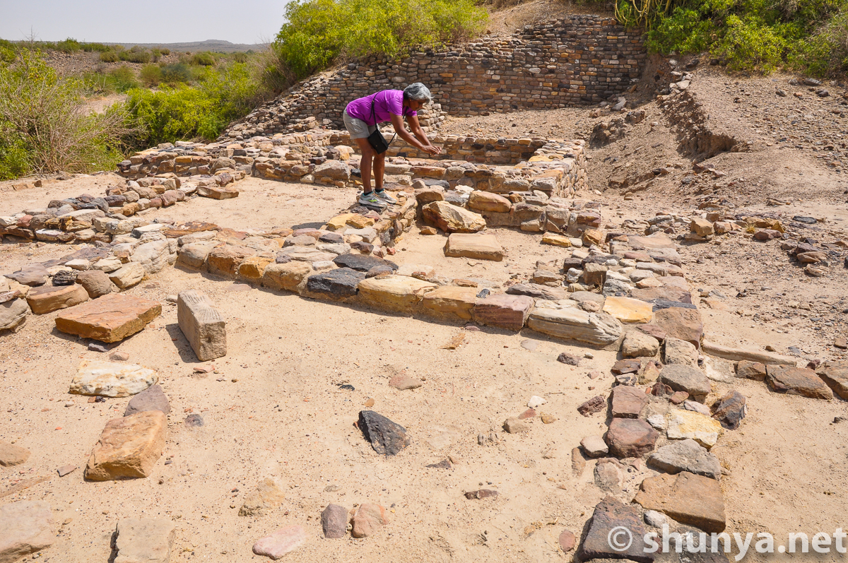
Visitors
|
Visitor
|
Visitors
|
Dholavira site signage
|
Complex around museum
|
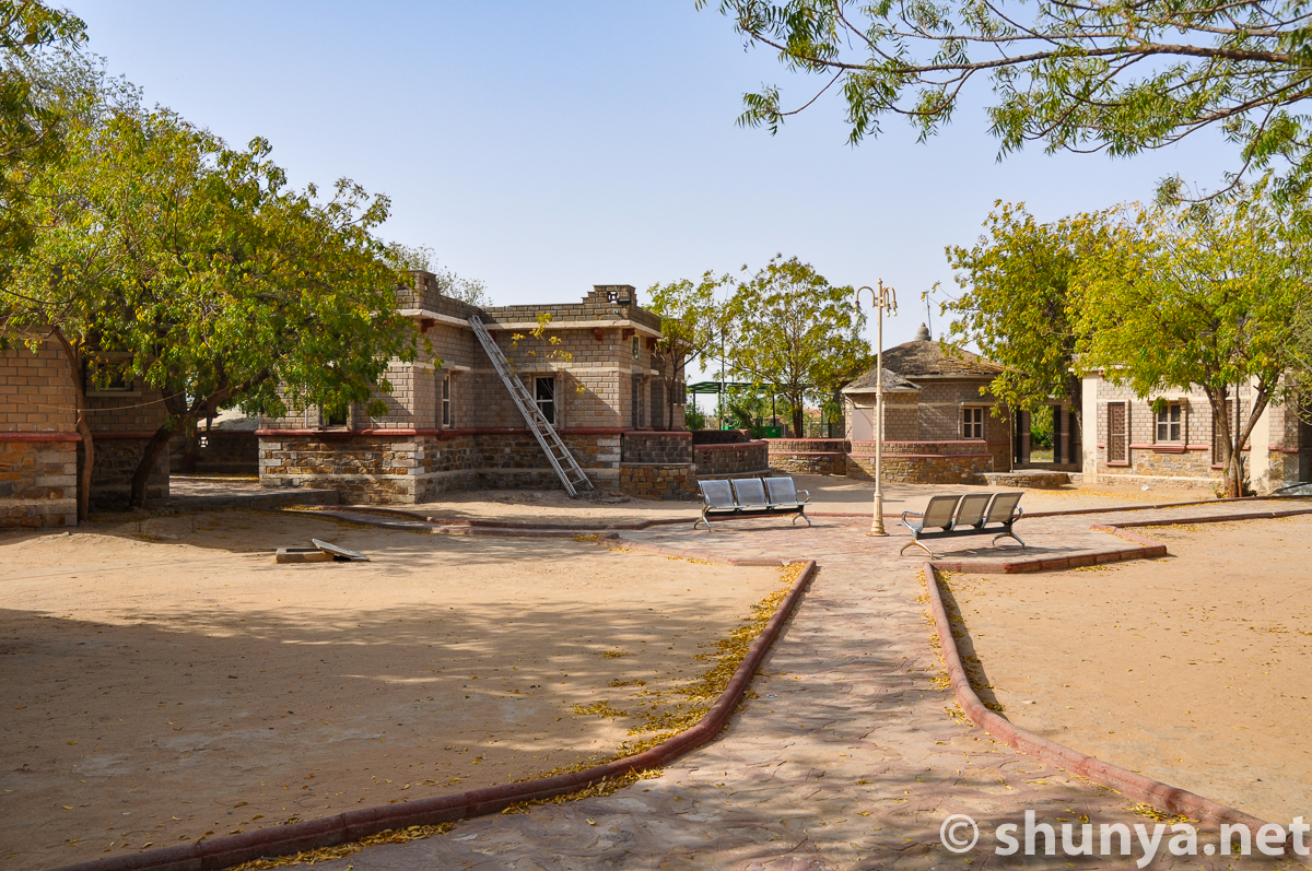
Officials' guest houses
|
Officials' guest house
|
Officials' guest house
|
|
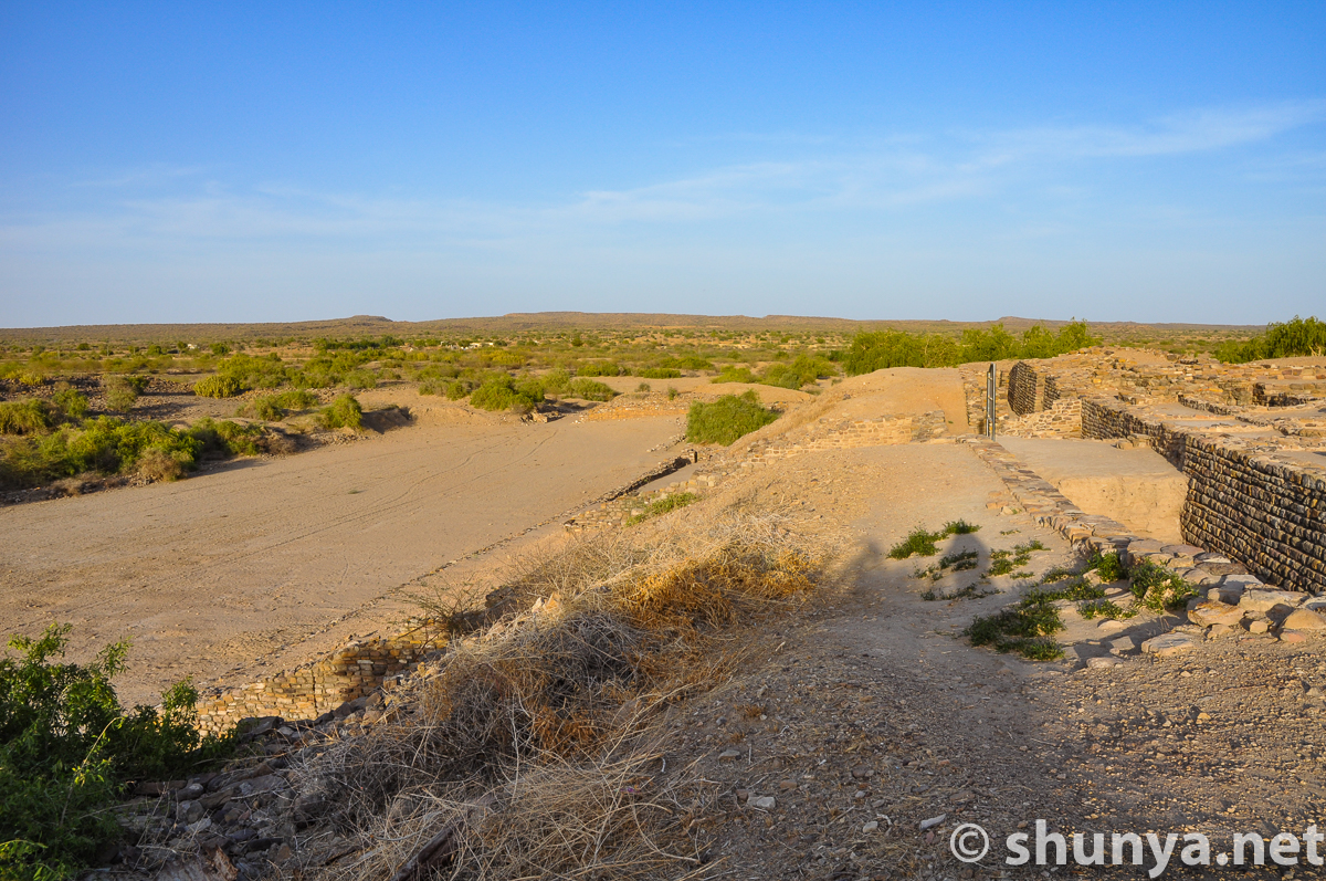
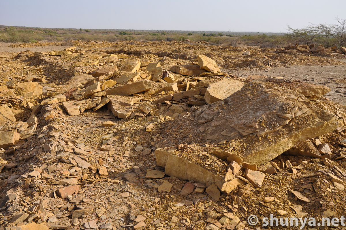
The quarry that supplied Dholavira, and northwestern Khadir Bet |
|||
Multihued stones
|
|
Slabs that made Dholavira
|
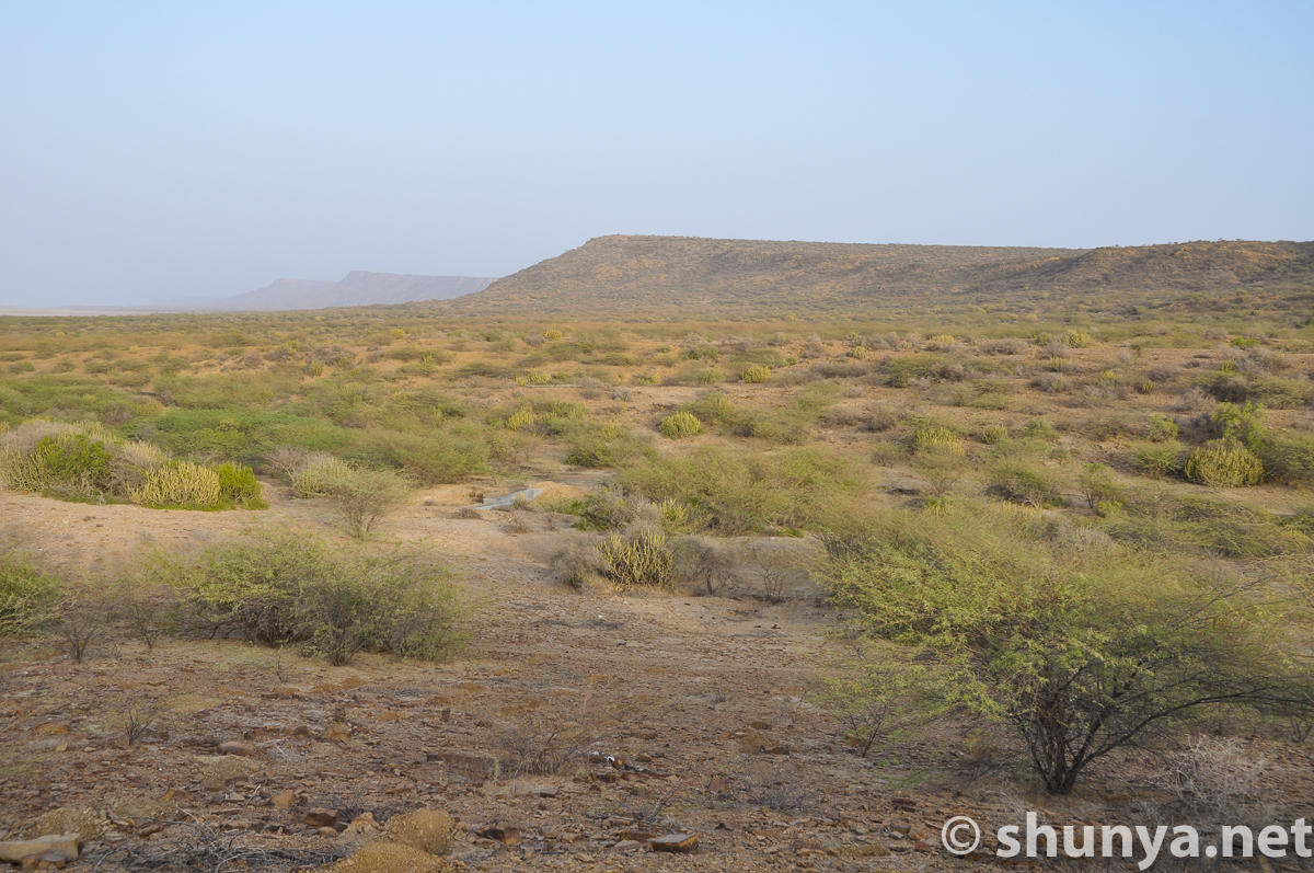
Khadir bet landscape
|
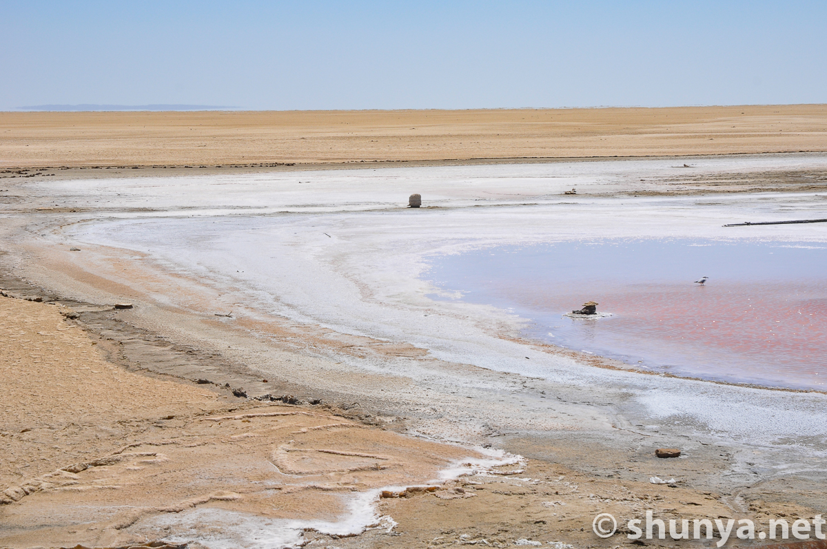
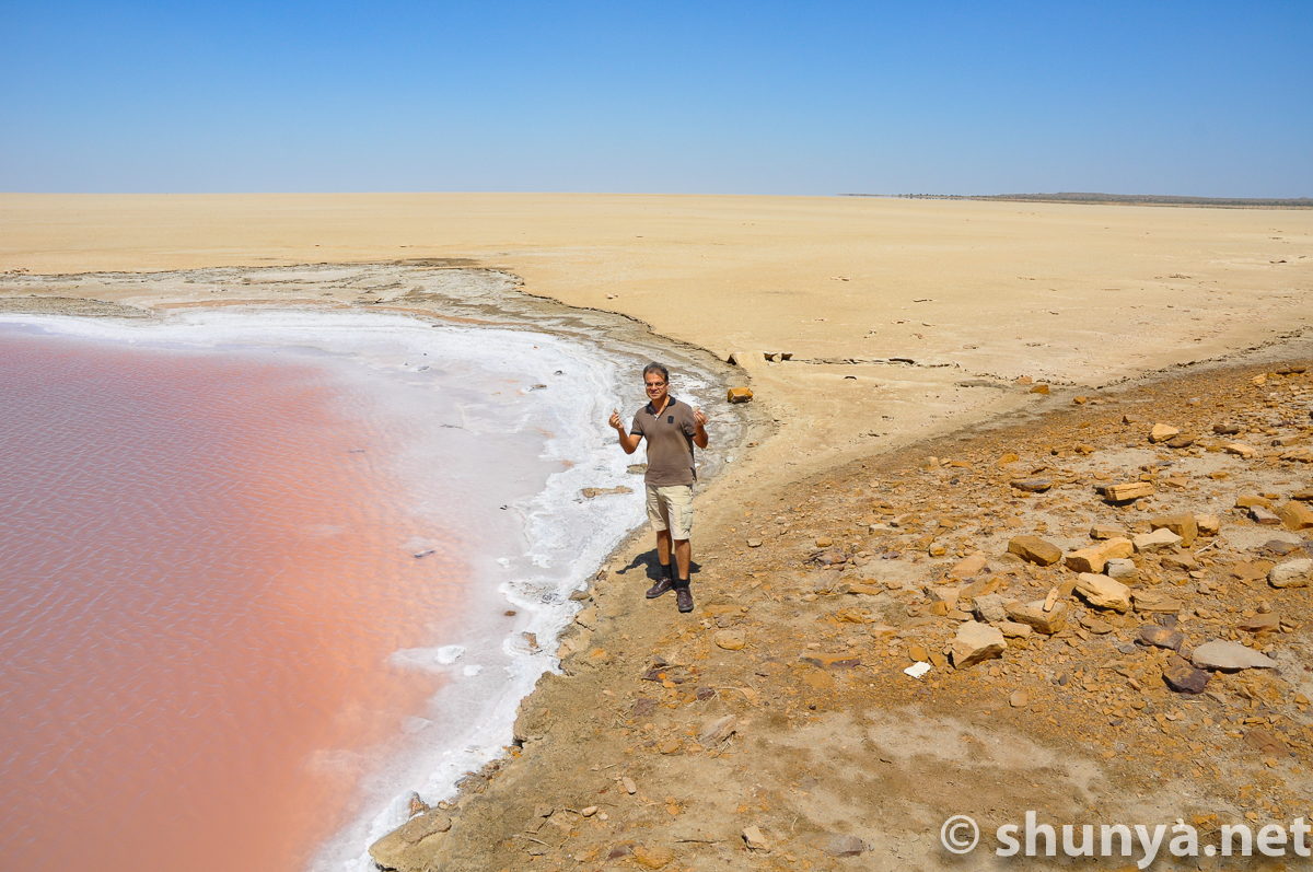
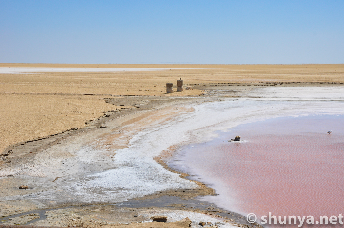
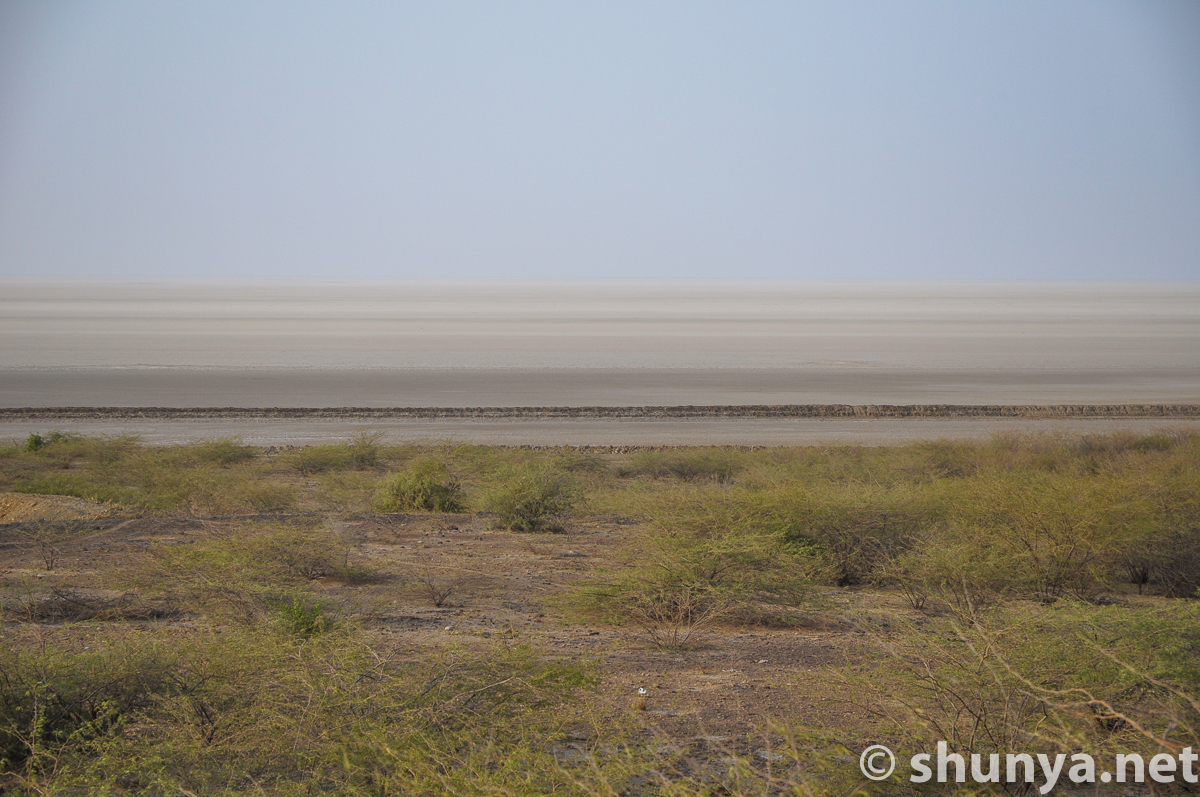
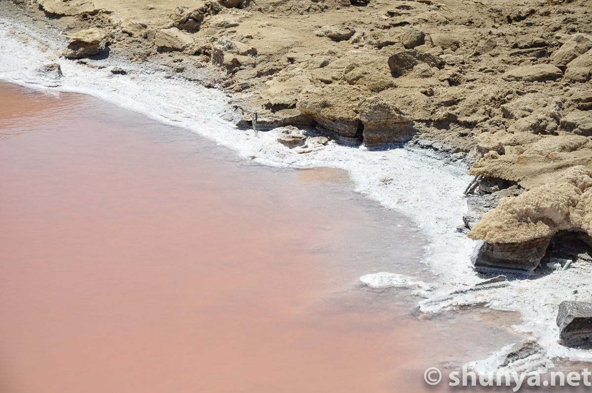
White Rann in view
|
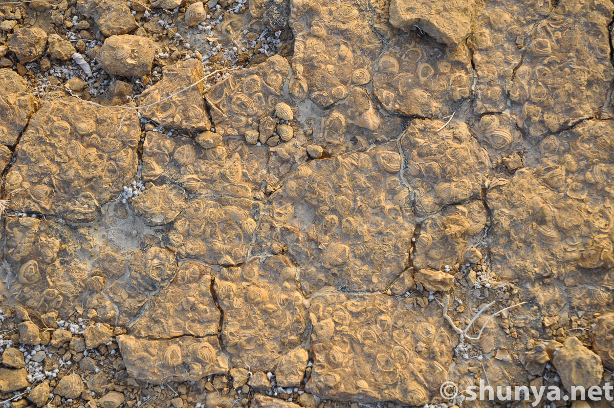
Fossils abound
|
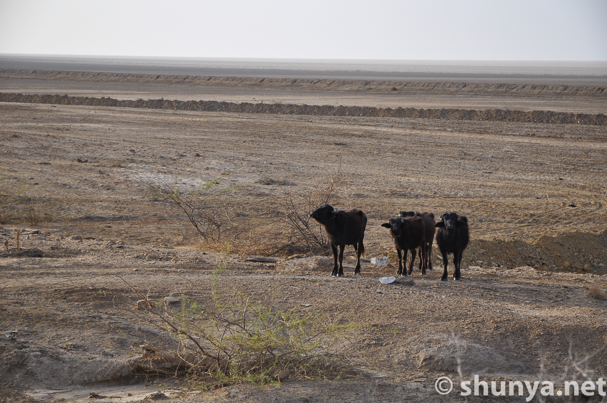
Buffaloes
|
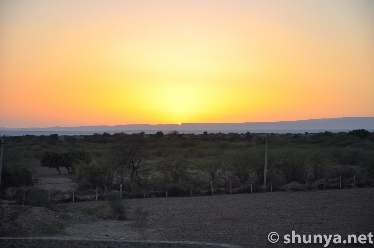
Sunset over Rann
|
|
Dholavira ASI Museum |
|||
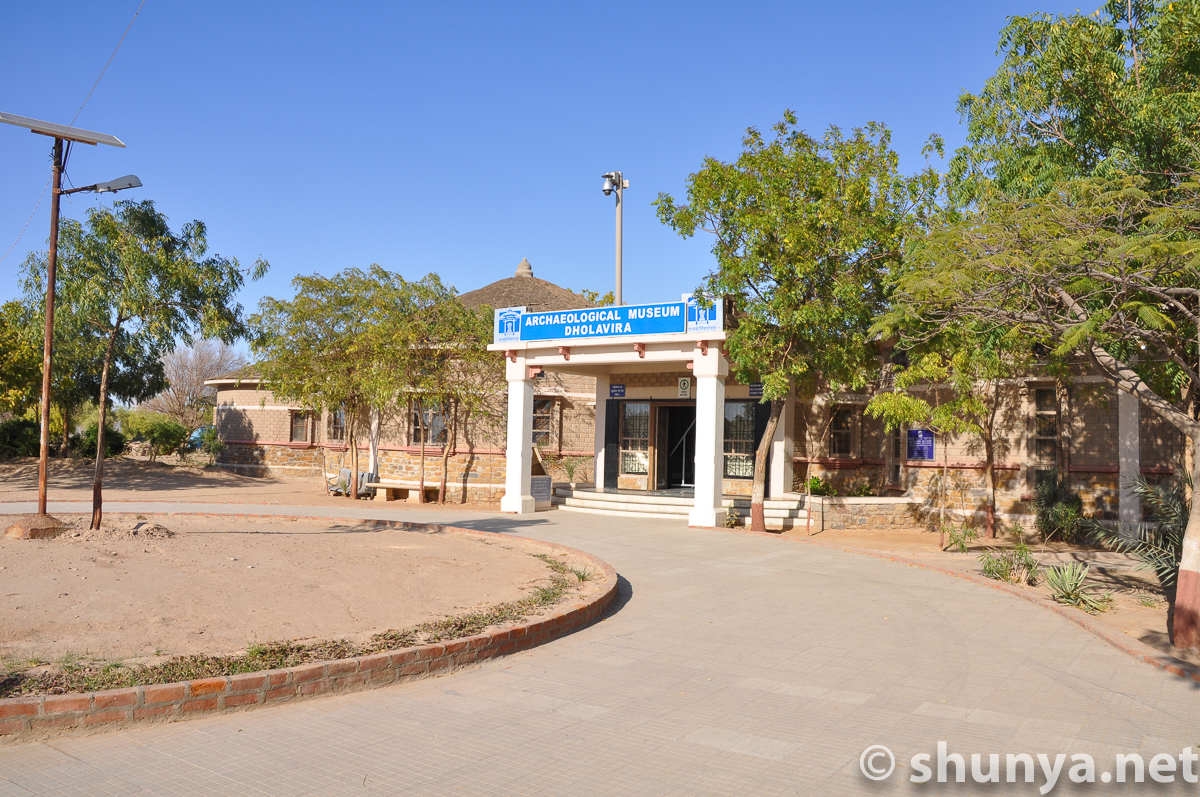
ASI Museum building
|
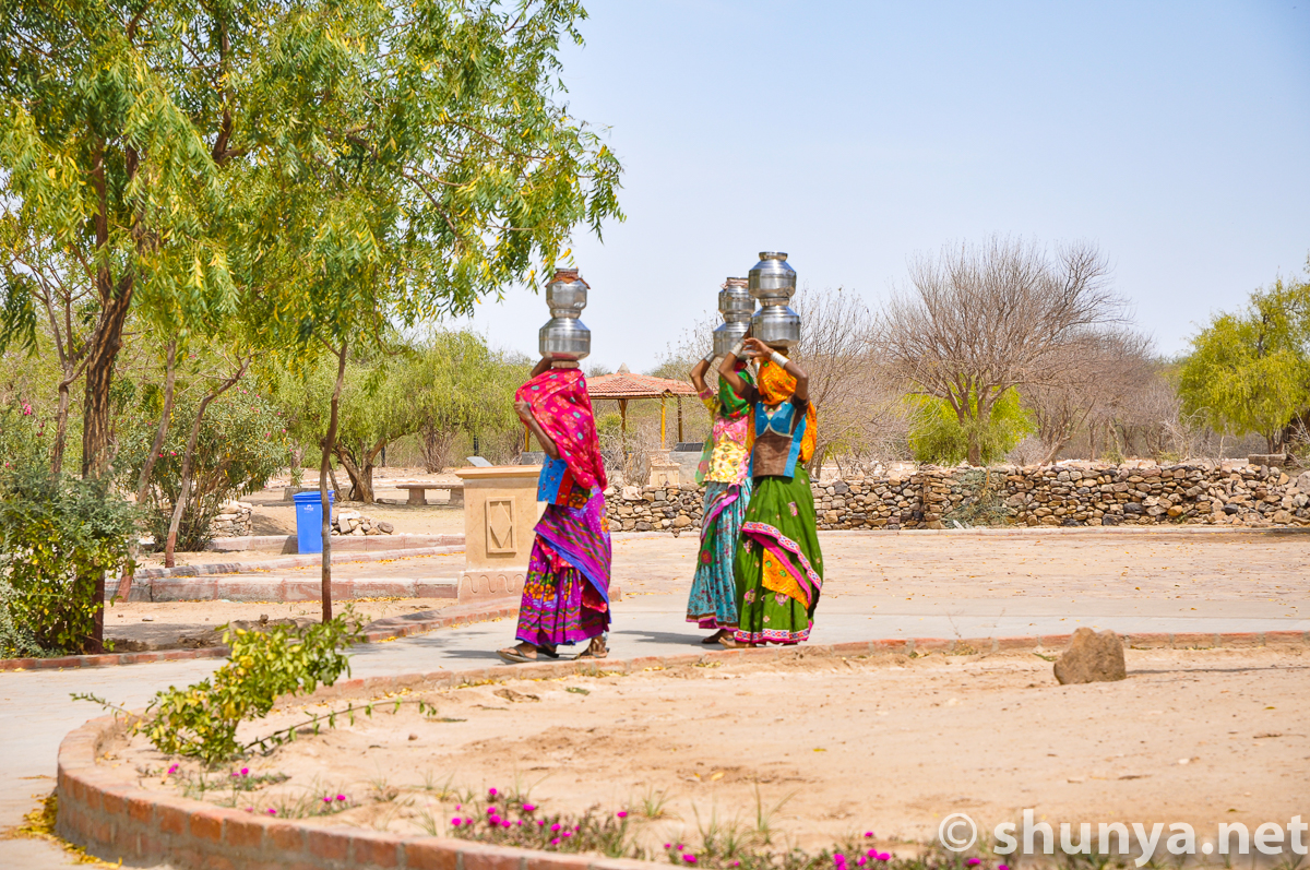
Women fetching water
|
Famous Dholavira
|
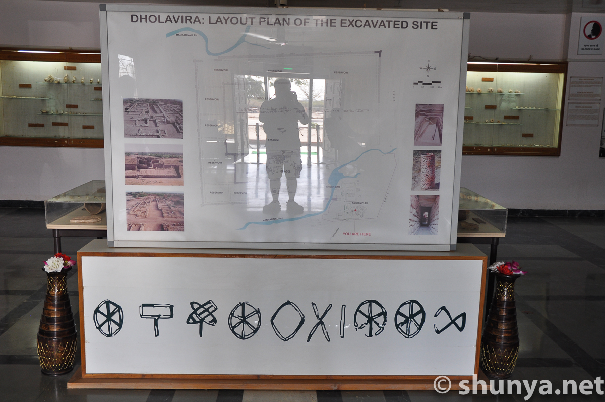
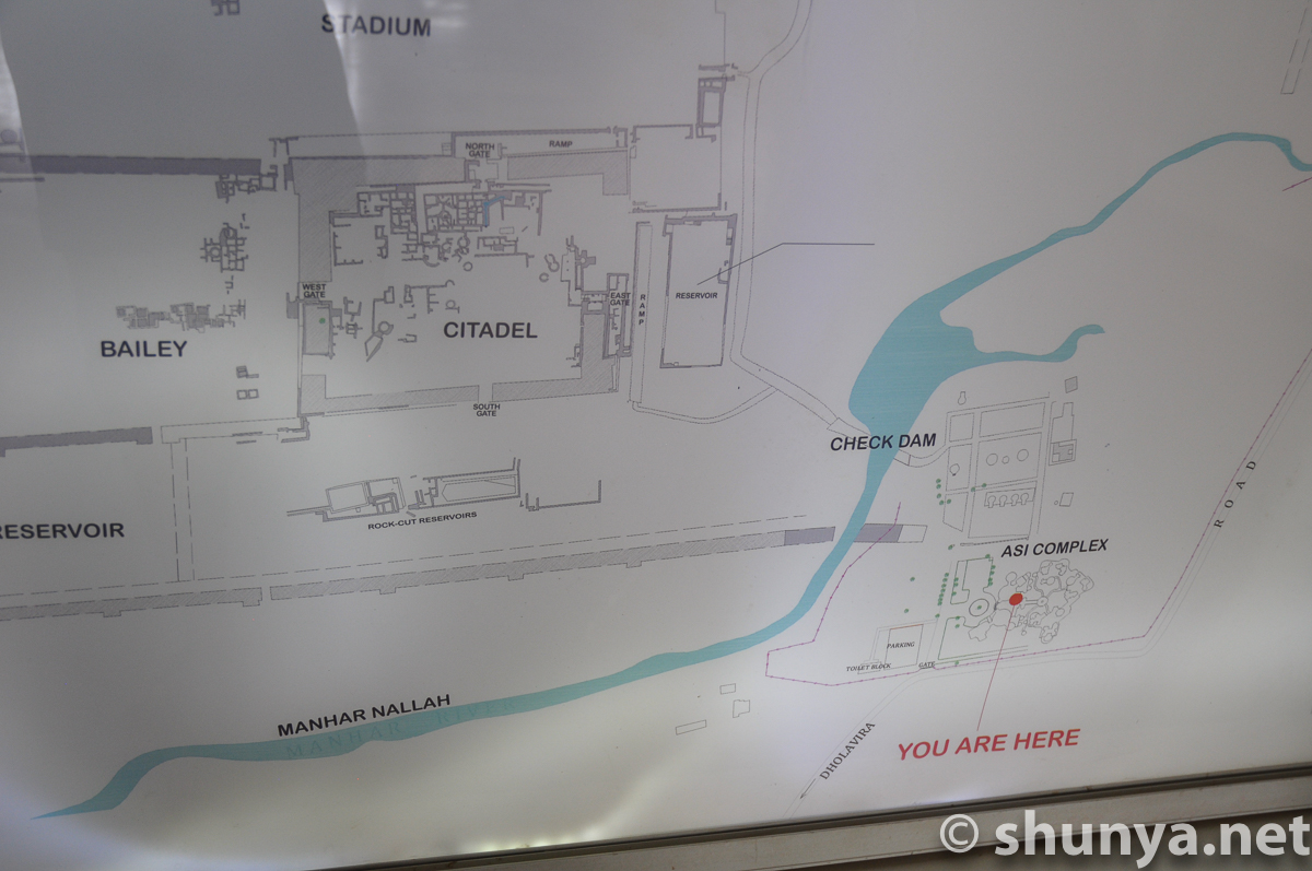
Site plan
|
The sea in the times of
|
 |
 |
 |
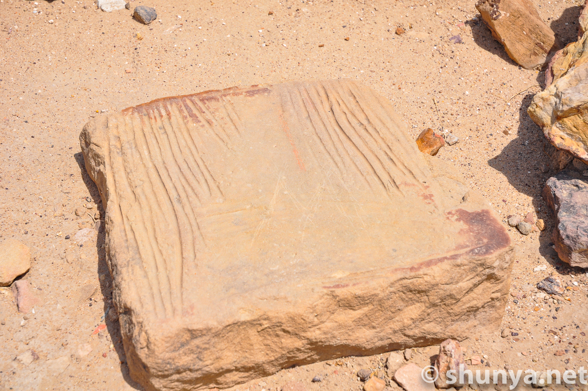
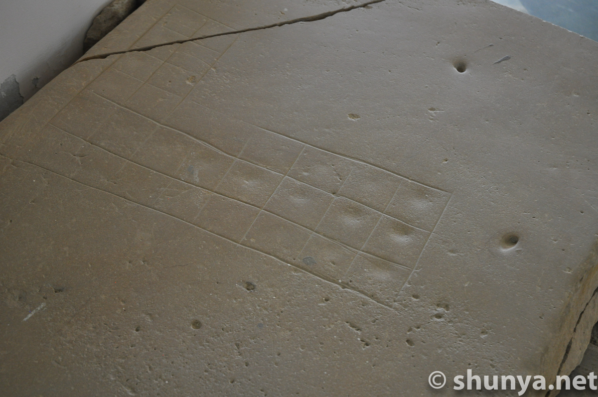
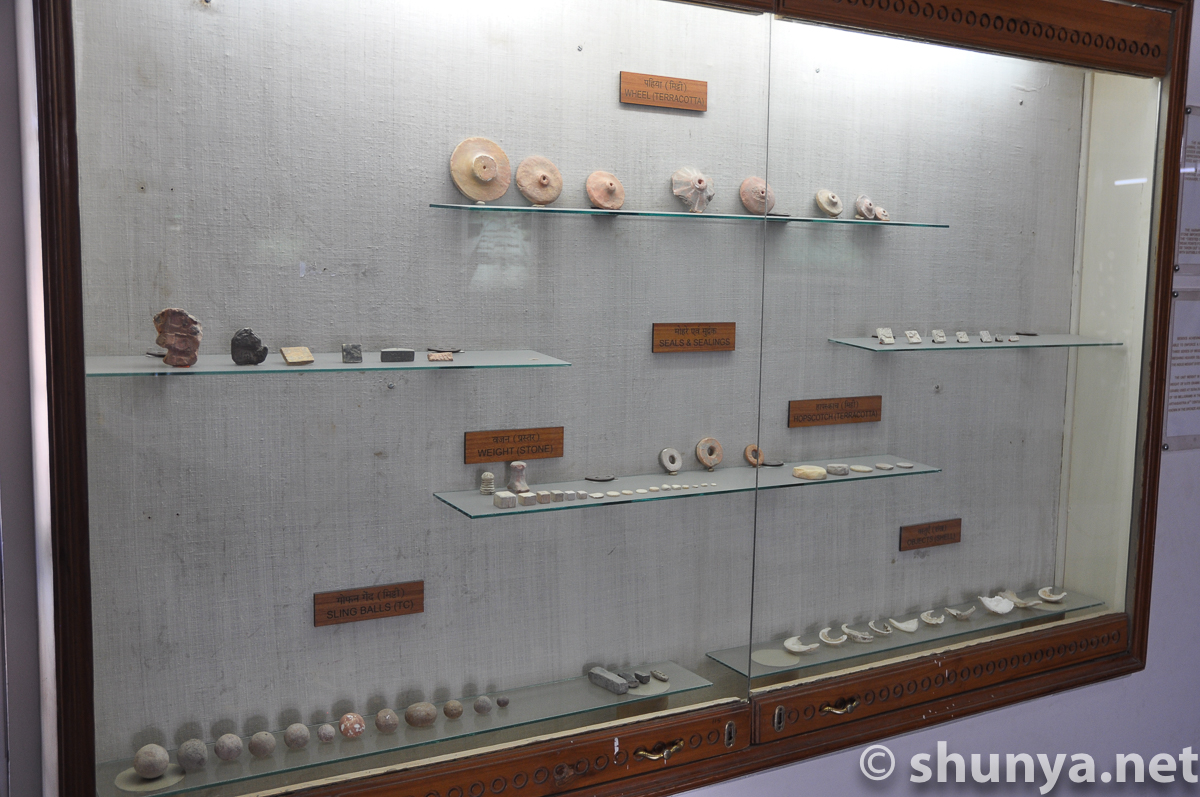
Etched game board
|
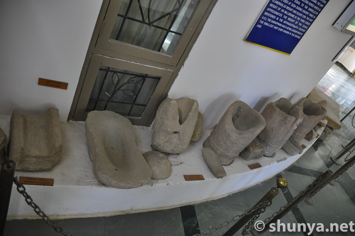
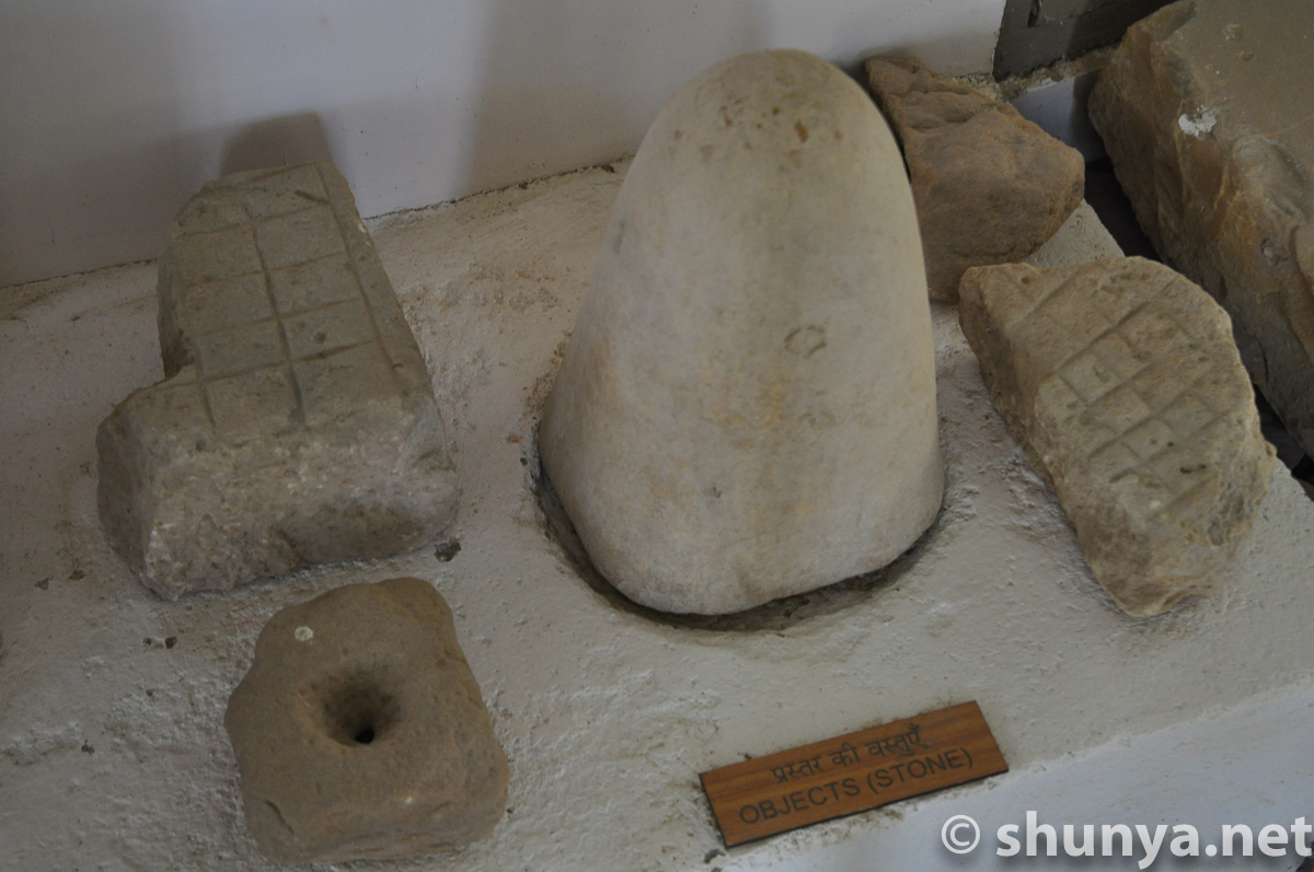
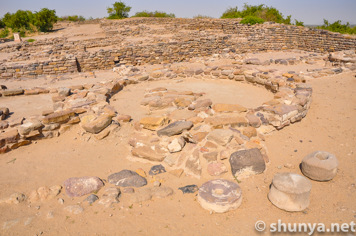
Stone querns
|
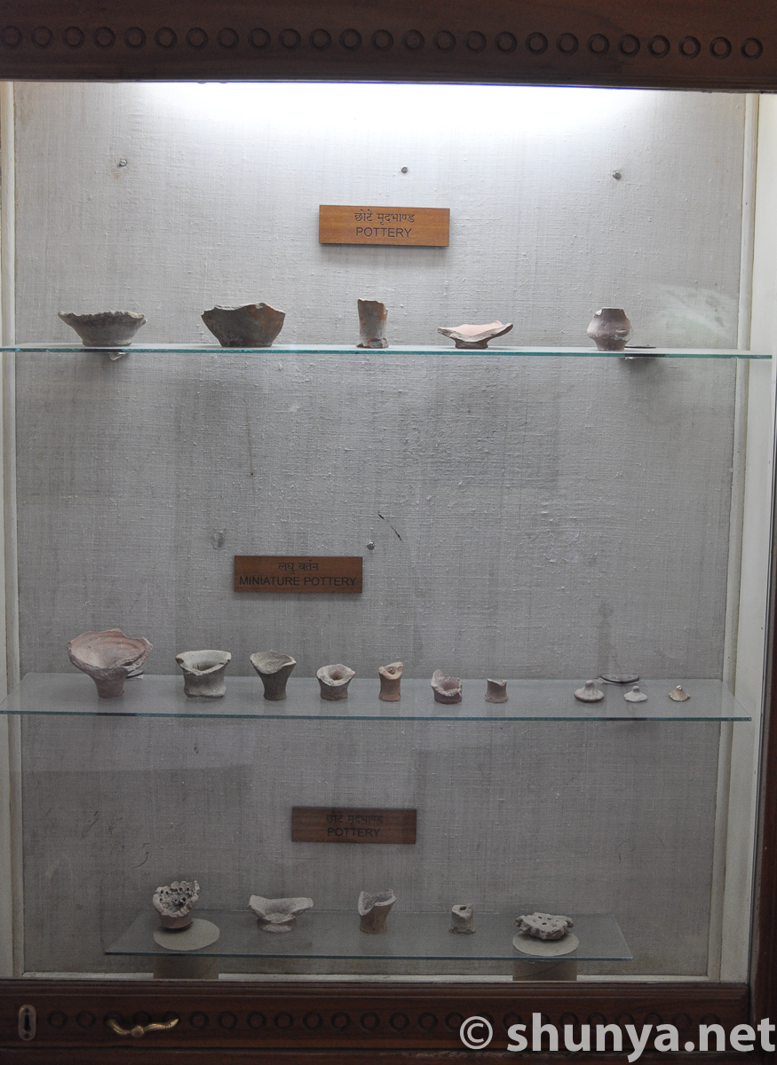
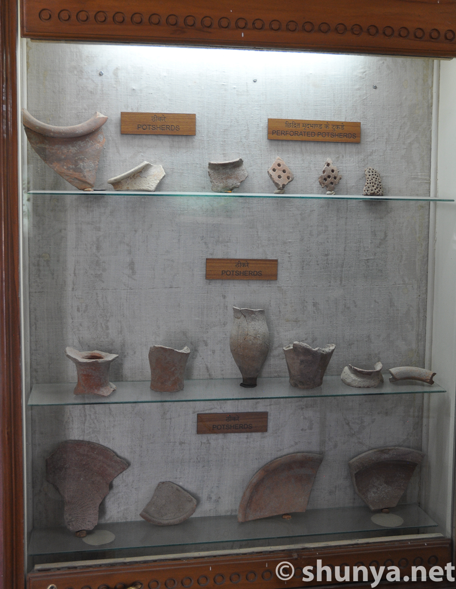
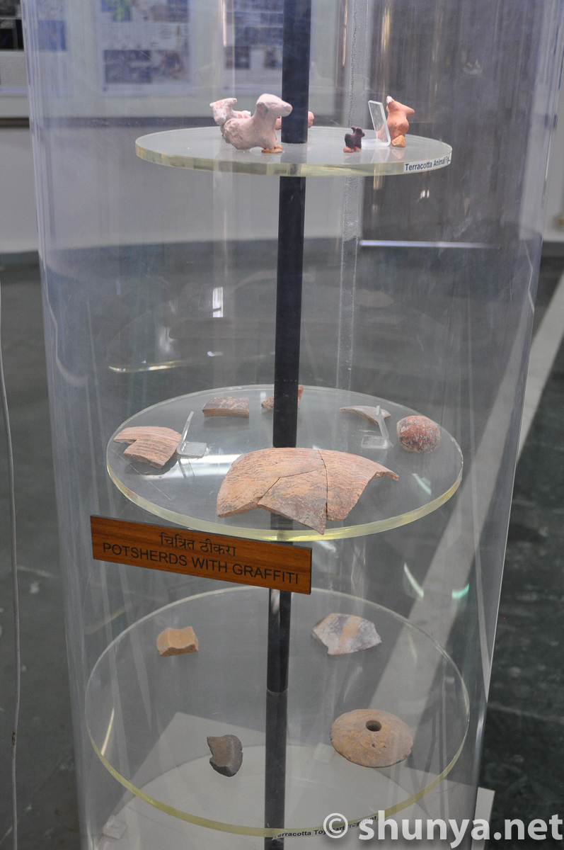
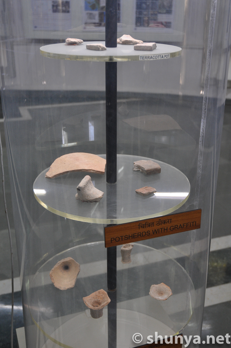
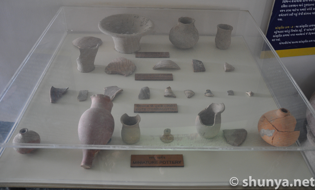
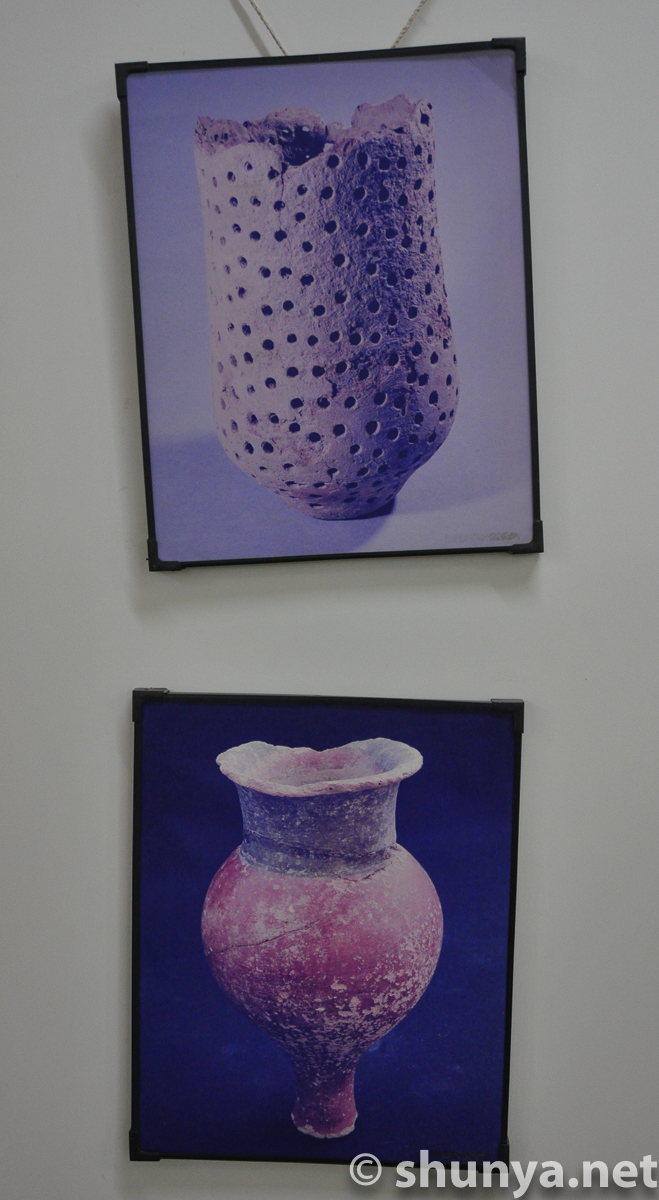
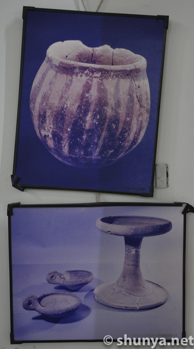
Pottery remains
|
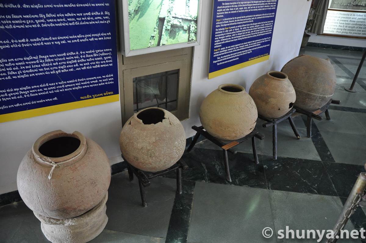
Pottery from Dholavira
|
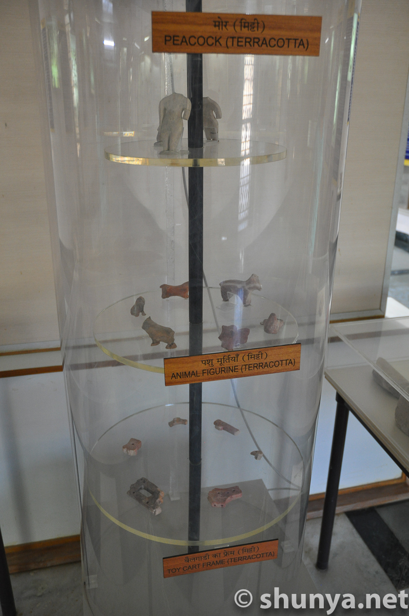
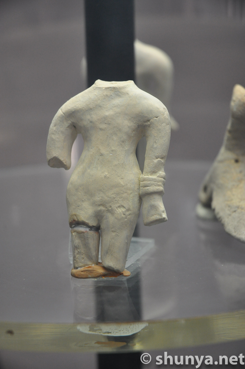
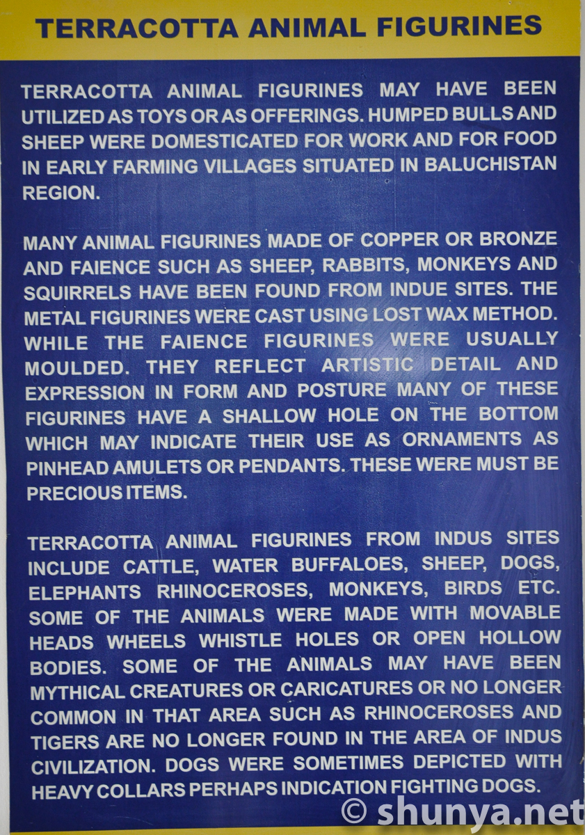
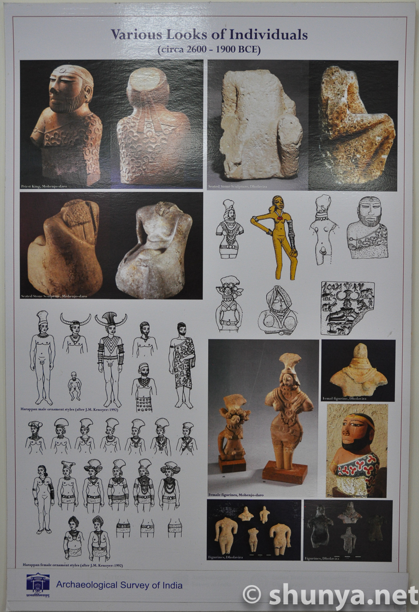
Animal figurines
|
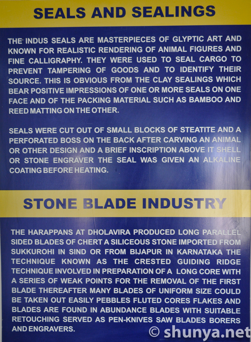
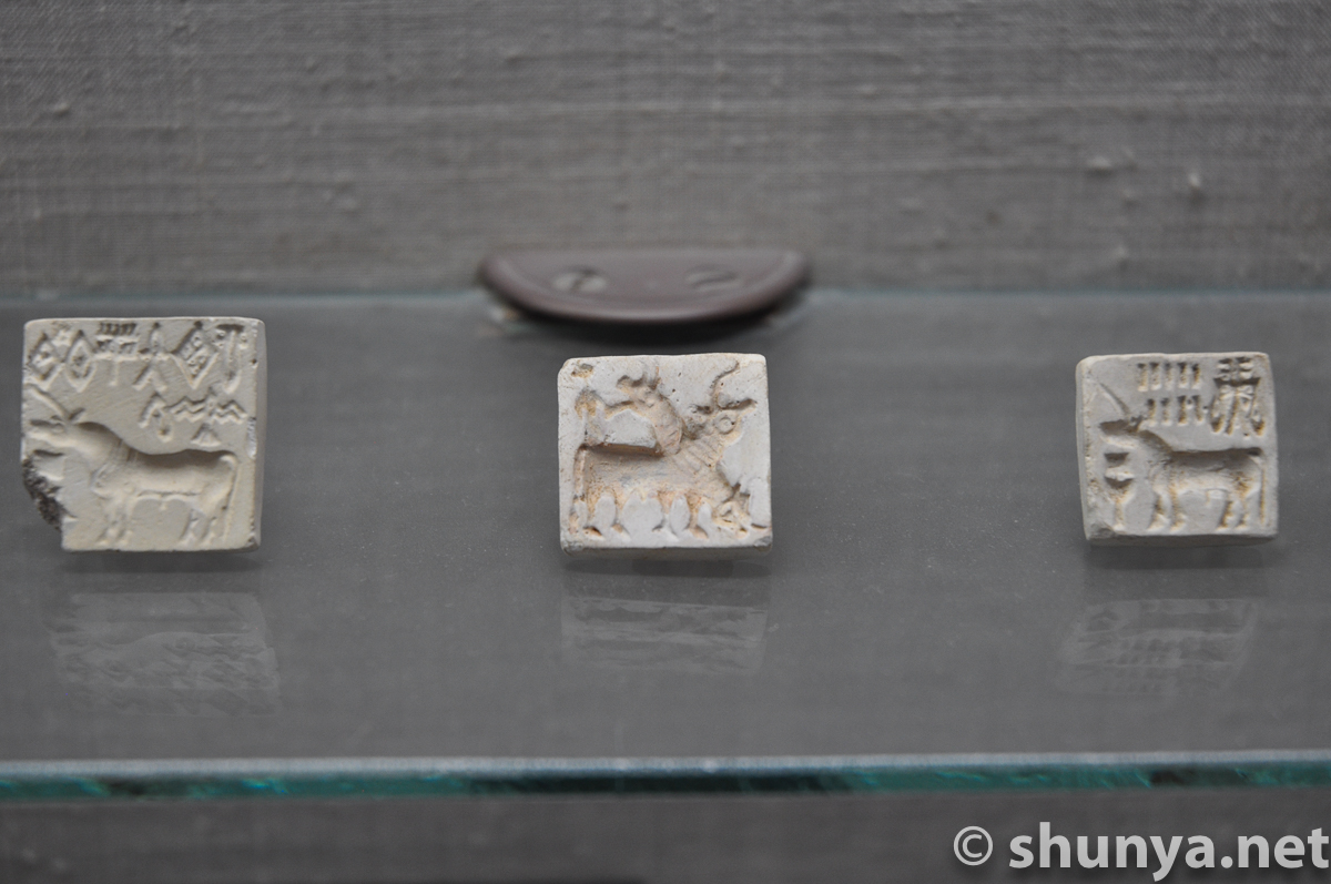
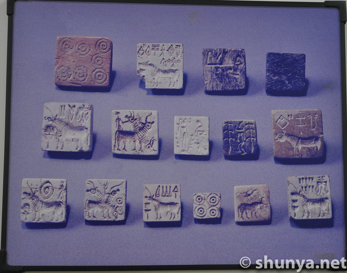
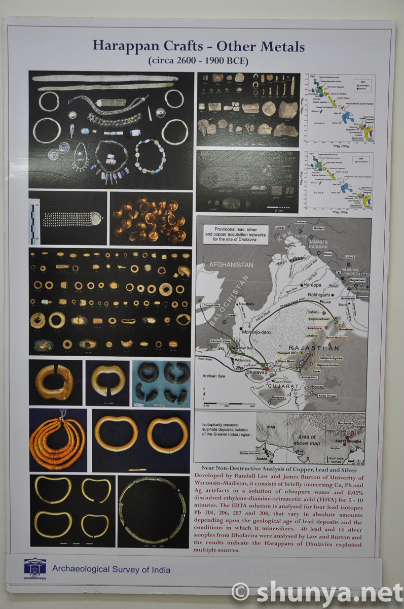
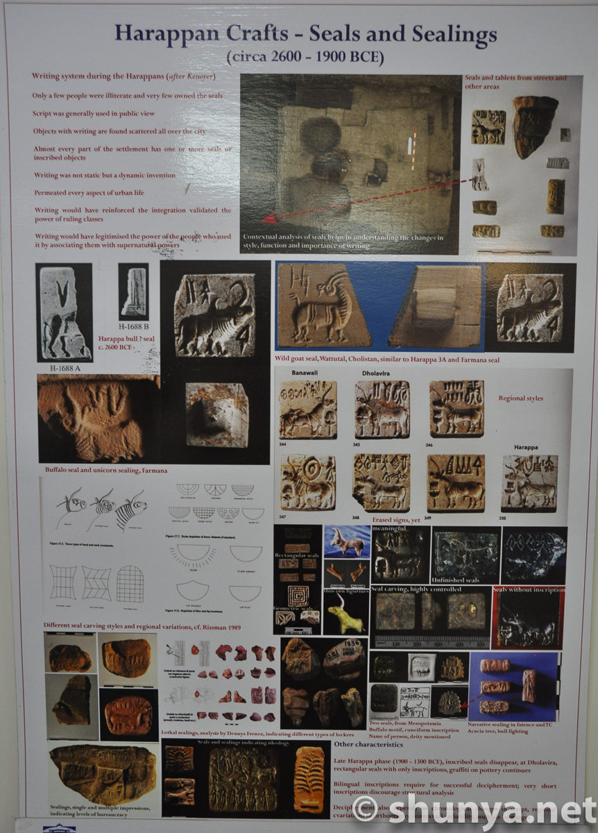
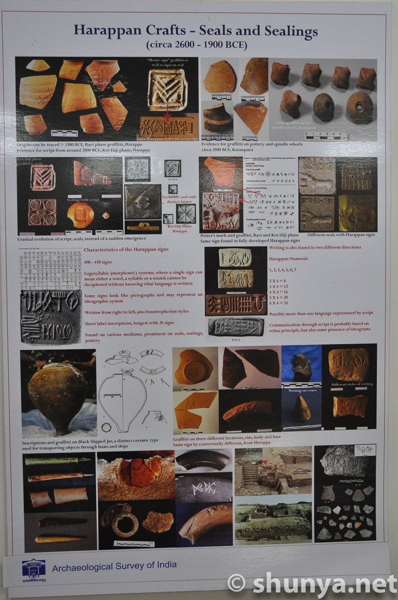
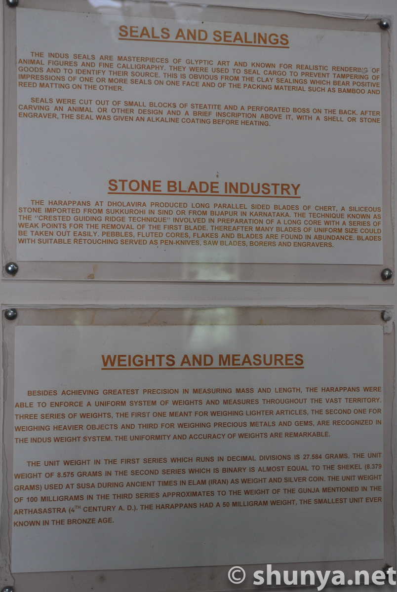
Seals and sealings
|
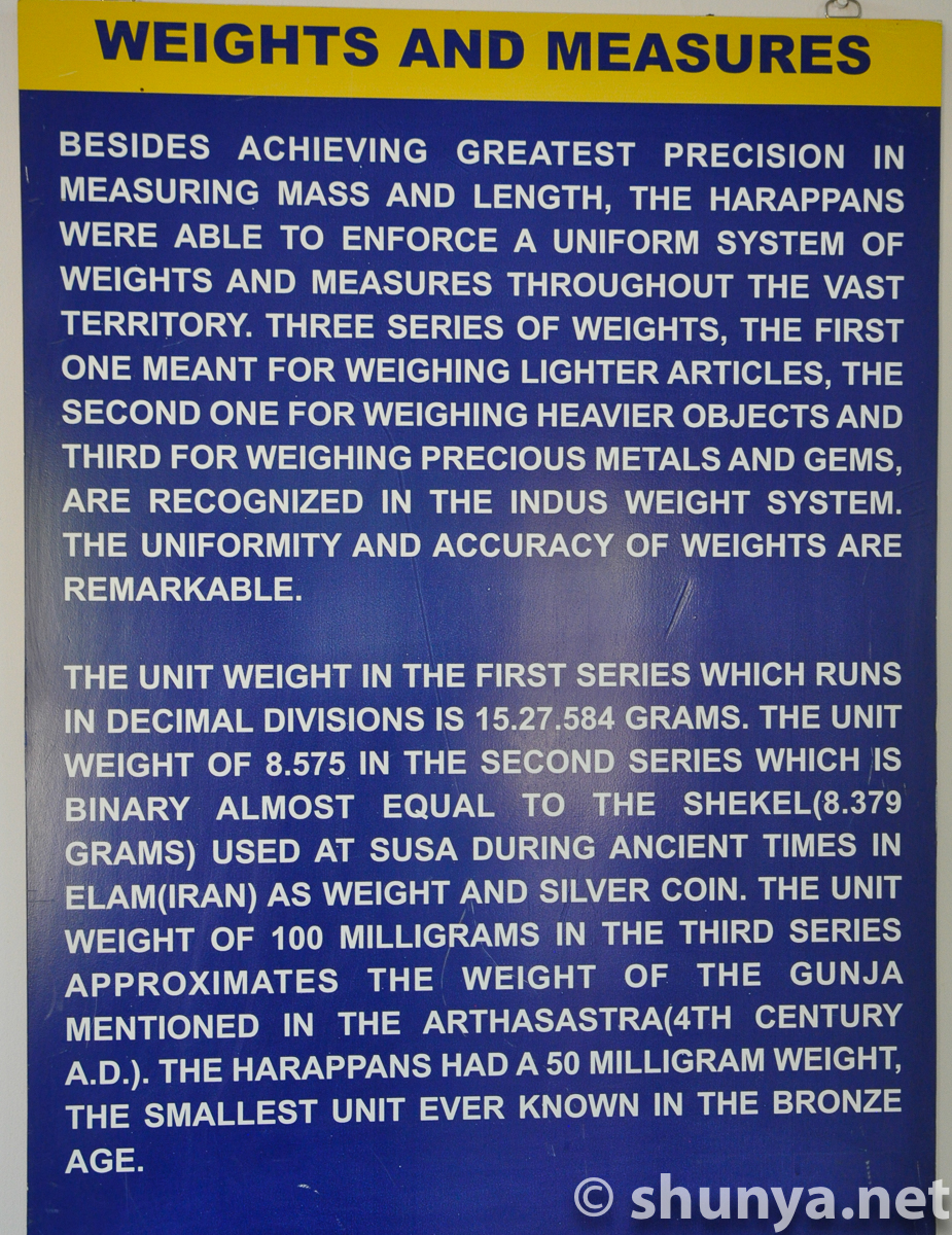
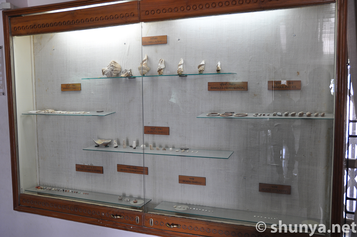
Wts. & measures (more)
|
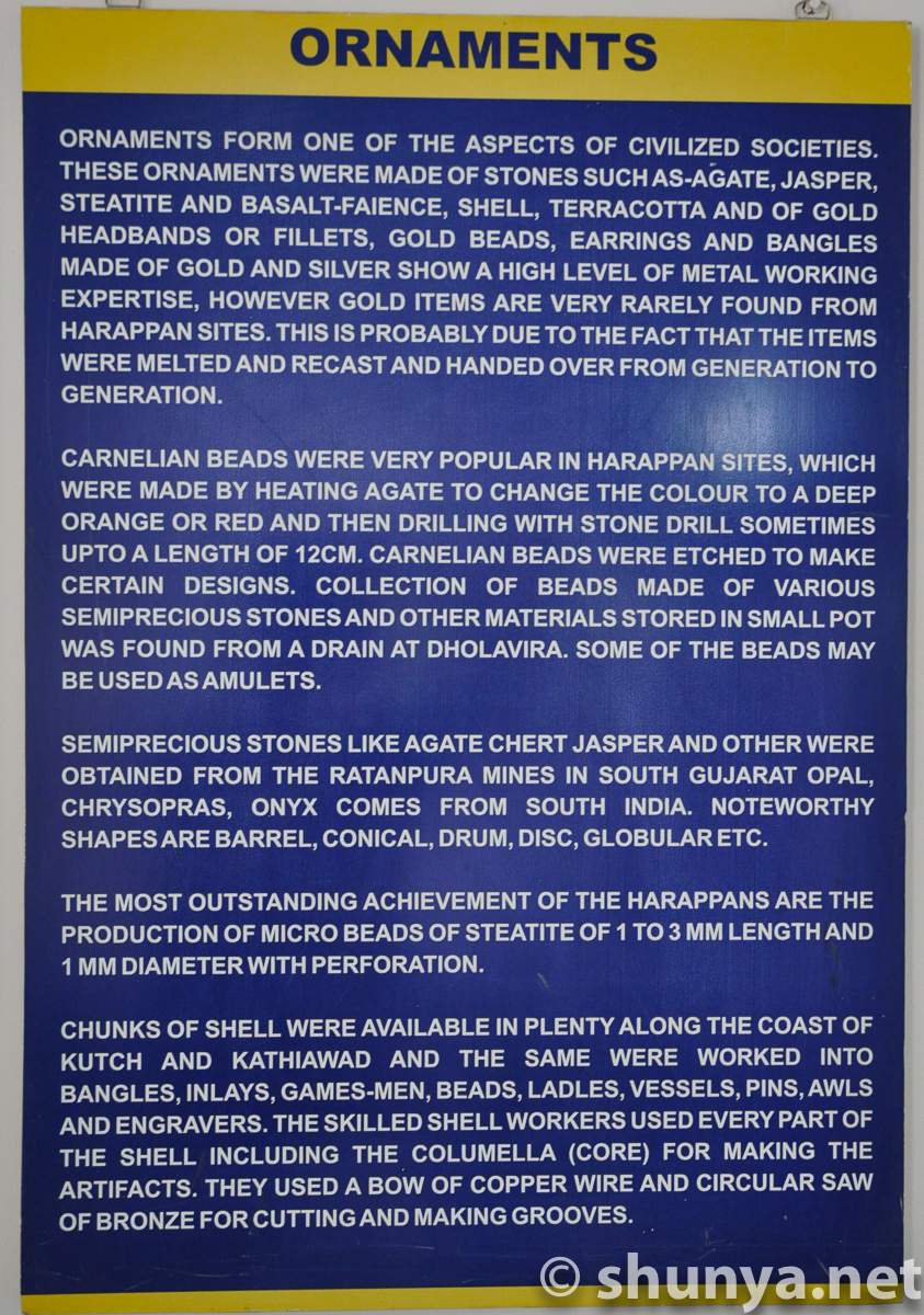
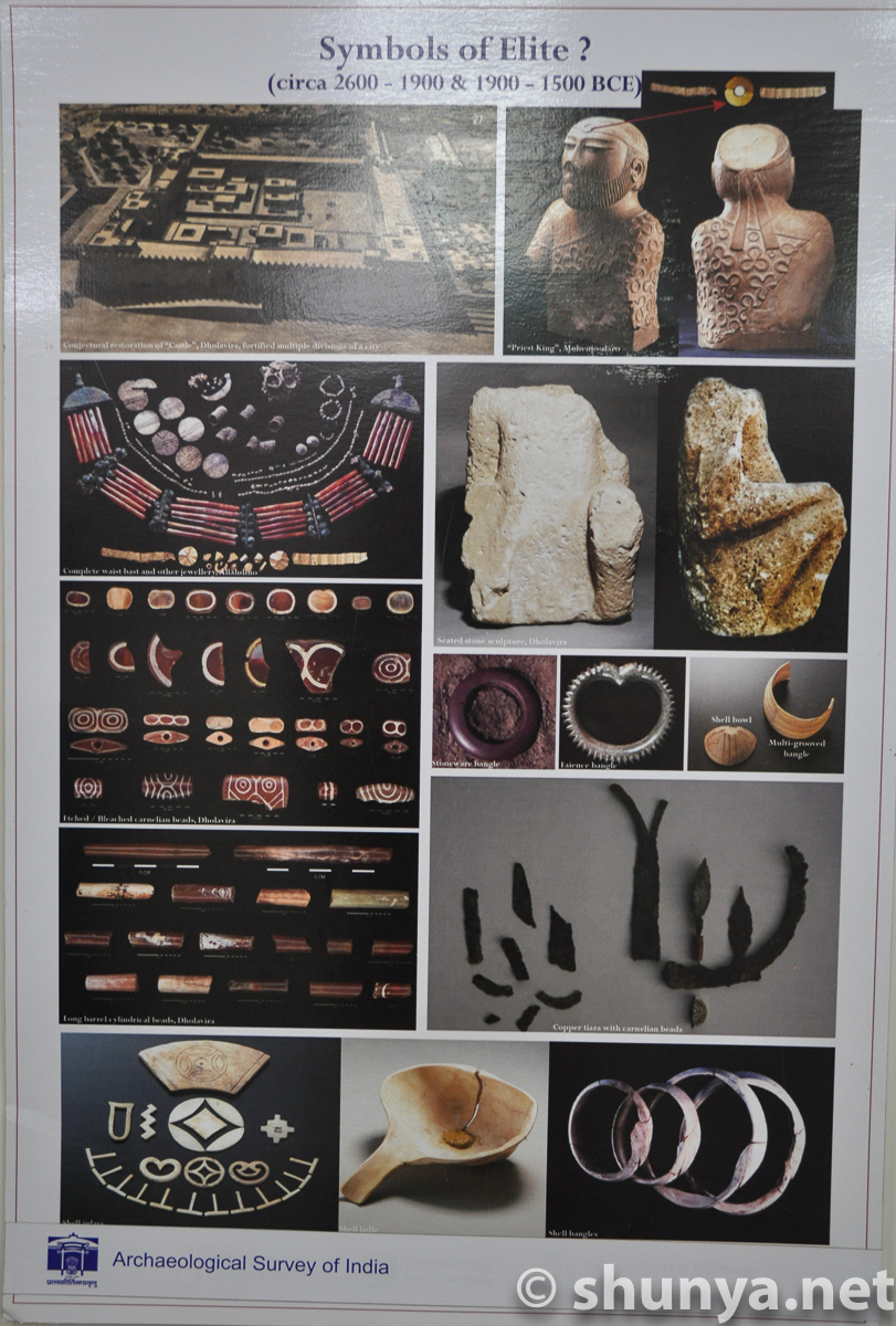
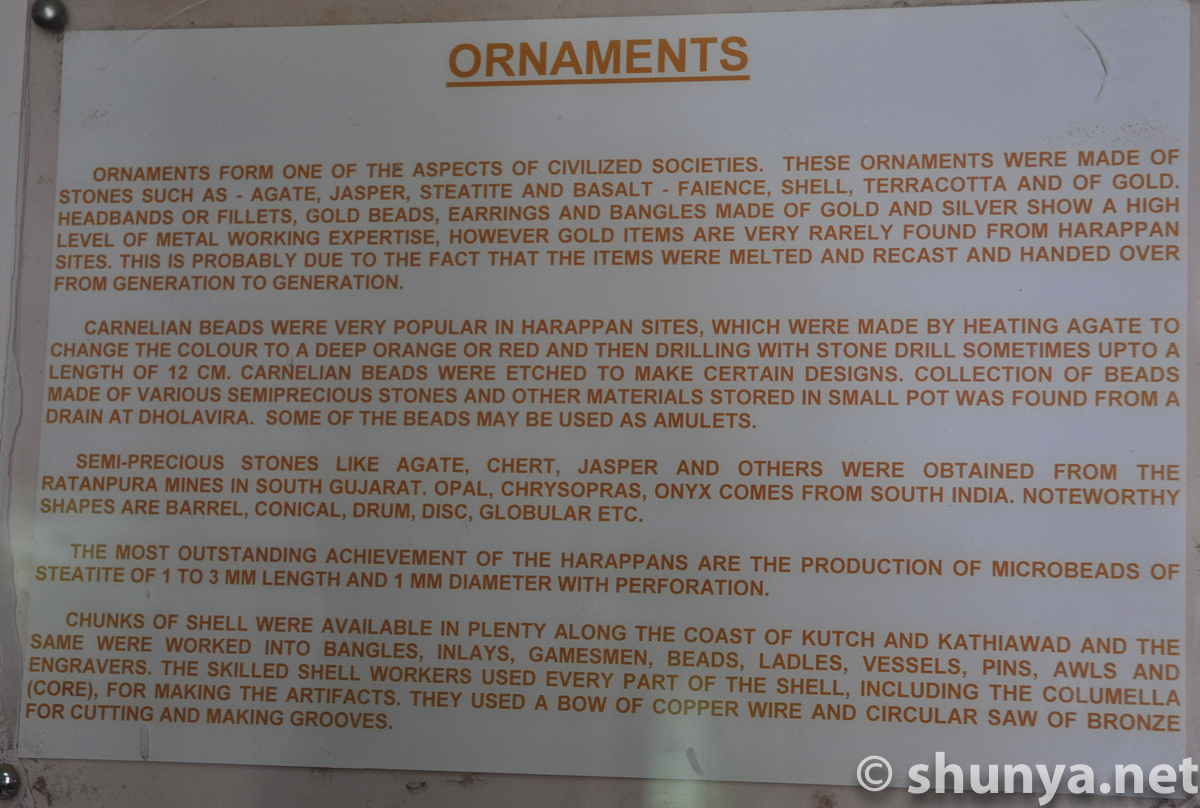
Ornaments (more)
|
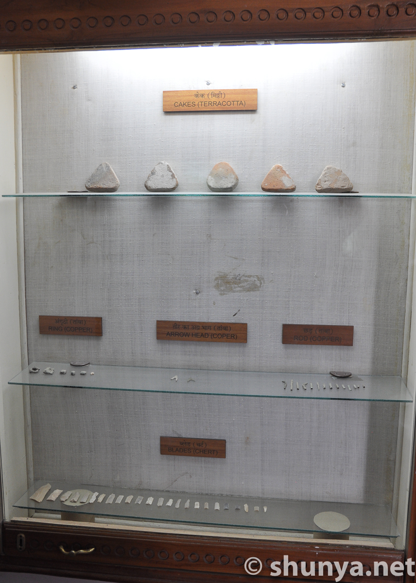
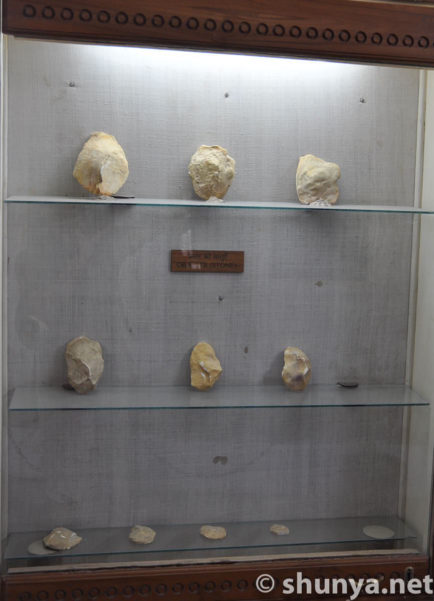
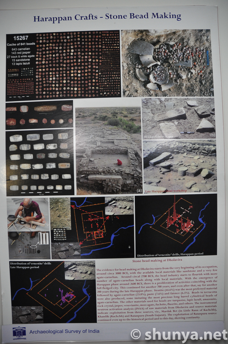
Stone objects
|
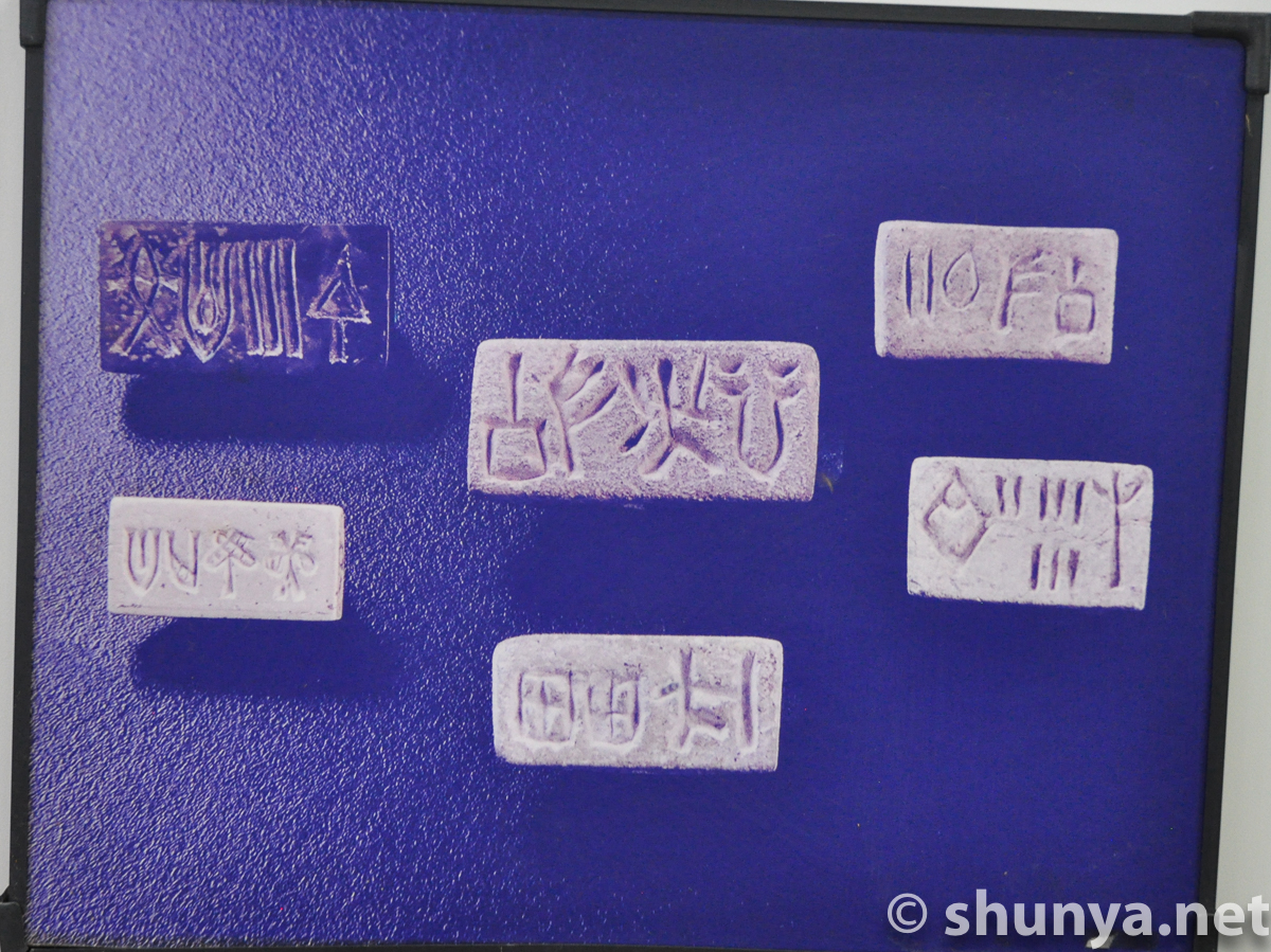
Dholavira seals
|
Misc objects
|
Misc objects
|
 |
 |
 |
 |
 |
 |
 |
 |
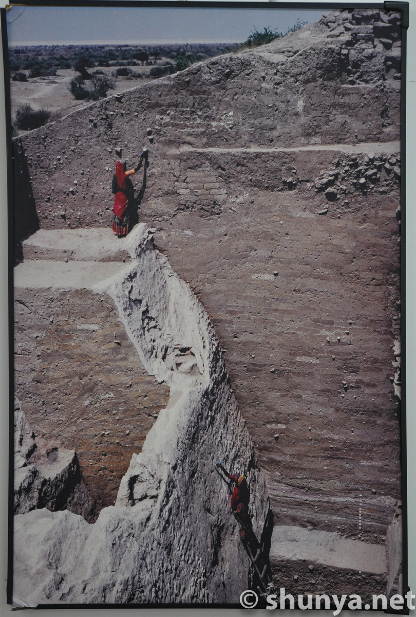
Archival photo
|
Taken during excavation
|
From the 1990s
|
Archival photo
|
Archival photo
|
Archival photo
|
Archival photo
|
Archival photo
|
Archival photo
|
Archival photo
|
Harappan seals
|
Harappan seals
|
Infographic
|
Infographic
|
Infographic
|
Infographic
|
Infographic
|
Infographic
|
Infographic
|
Infographic
|
Infographic
|
Infographic
|
Infographic
|
Infographic
|
Infographic
|
Infographic
|
Infographic
|
Infographic
|
Infographic
|
Infographic
|
Infographic
|
A boy near the museum
|
|
All pictures below are from my April 2006 visit to Dholavira |
|||
The citadel (more) 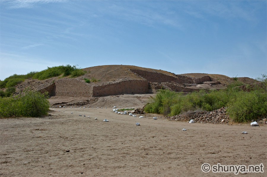 |
South-east corner 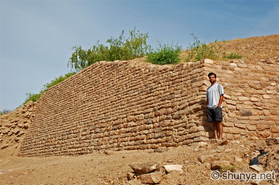 |
Eastern walls
of the 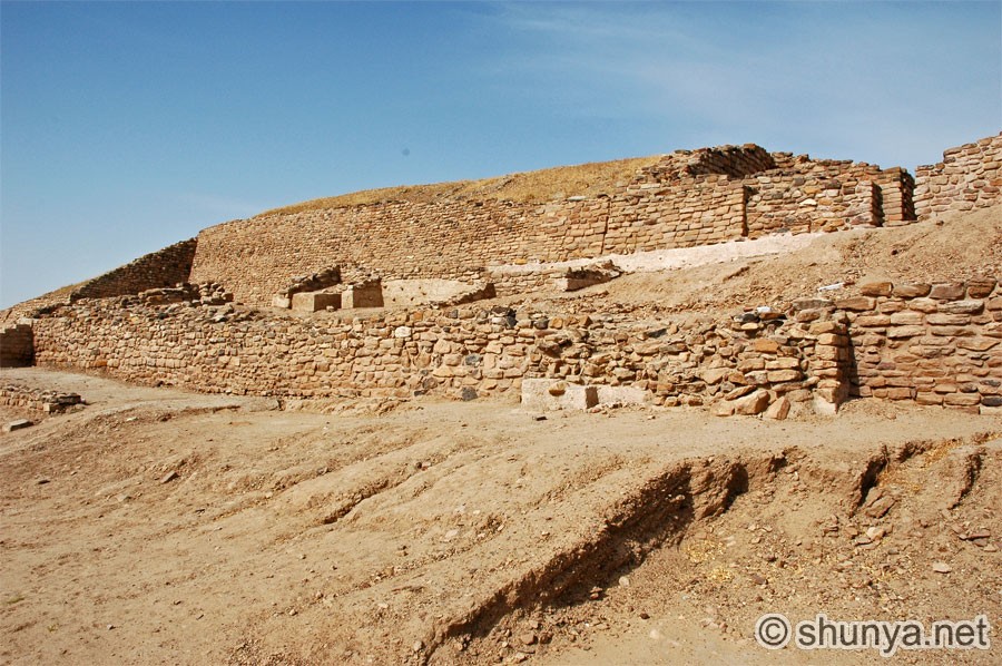 |
East entrance 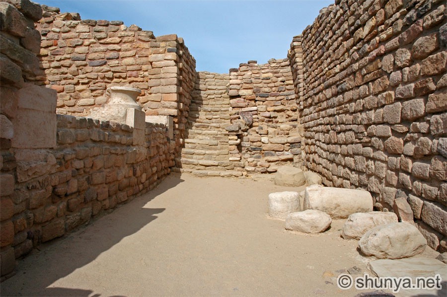 |
 |
 |
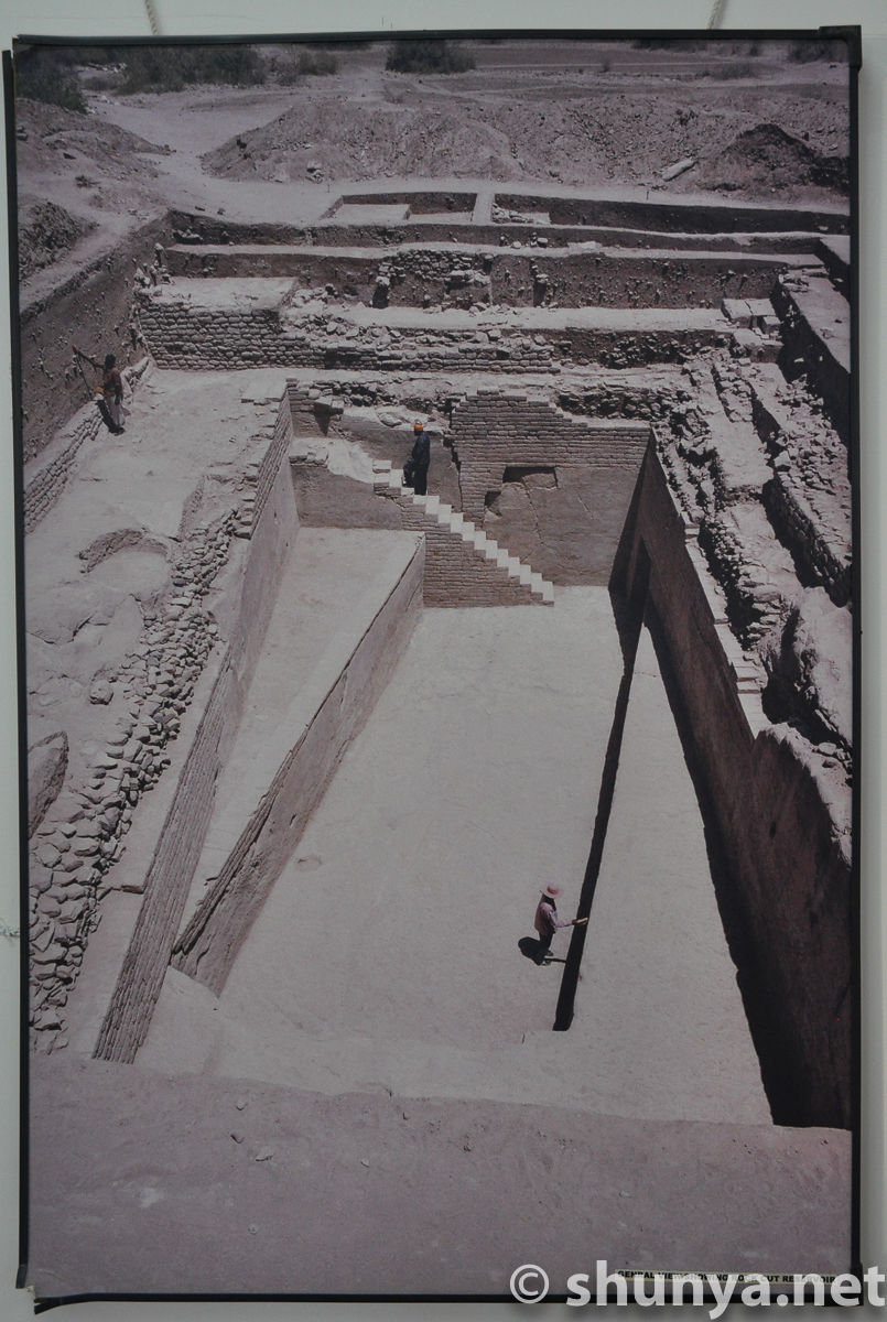
Steps down a tank 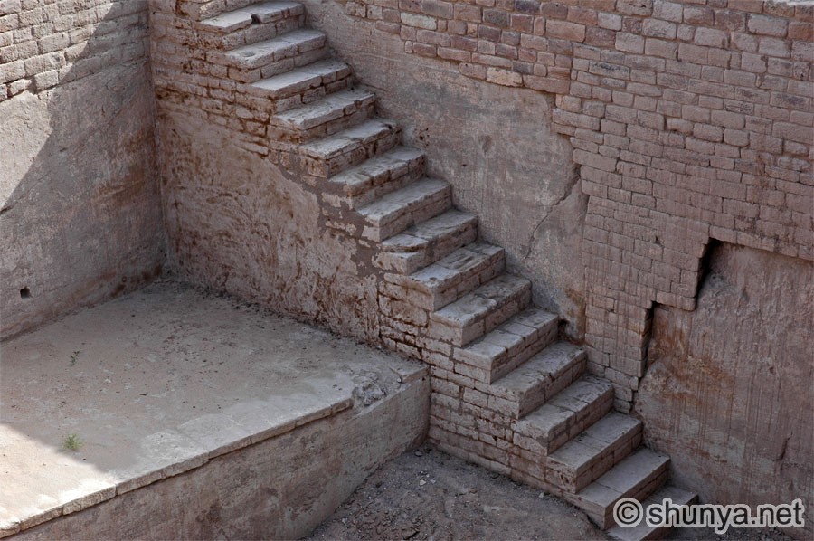 |
 |
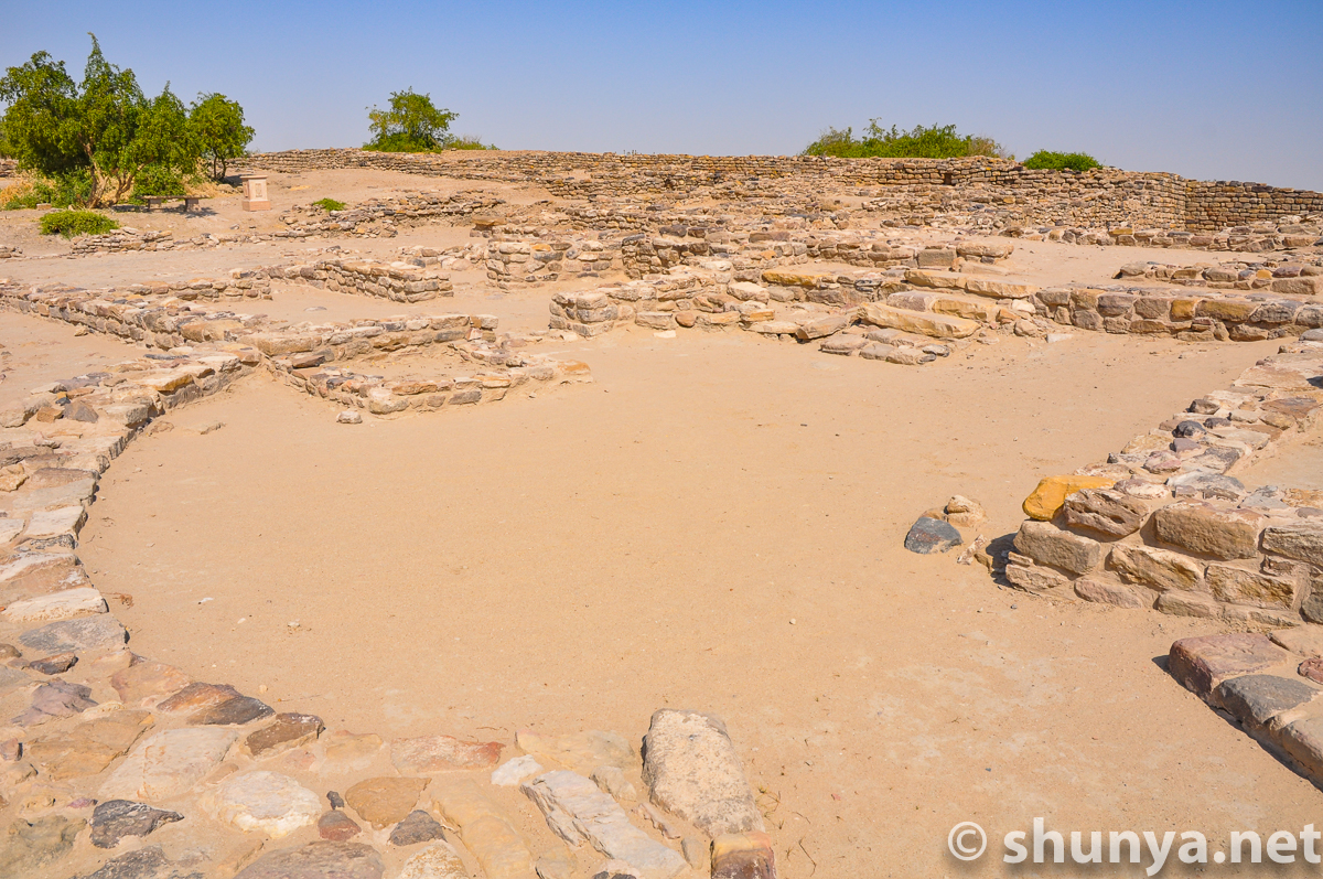
A granary?  |
South entrance to citadel 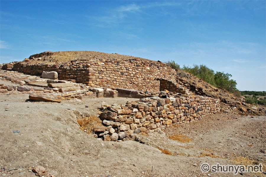 |
The Bailey
 |
A well on the citadel 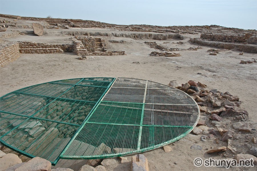 |
Peeking inside the well 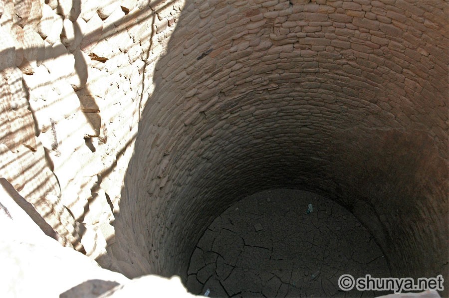 |
Small water tank 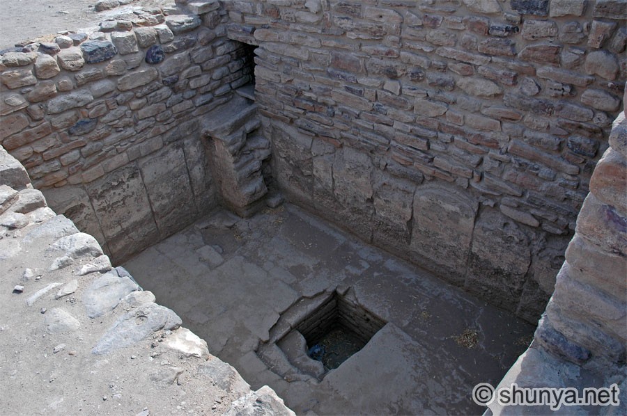 |
Bathing area (more) 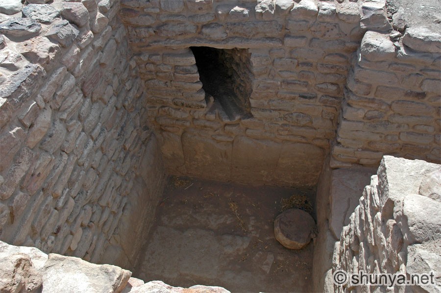 |
Remains of citadel rooms 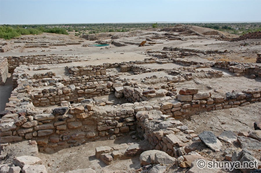 |
|
Shard-studded wall 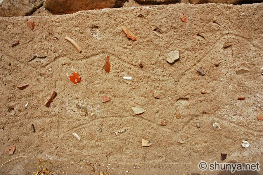 |
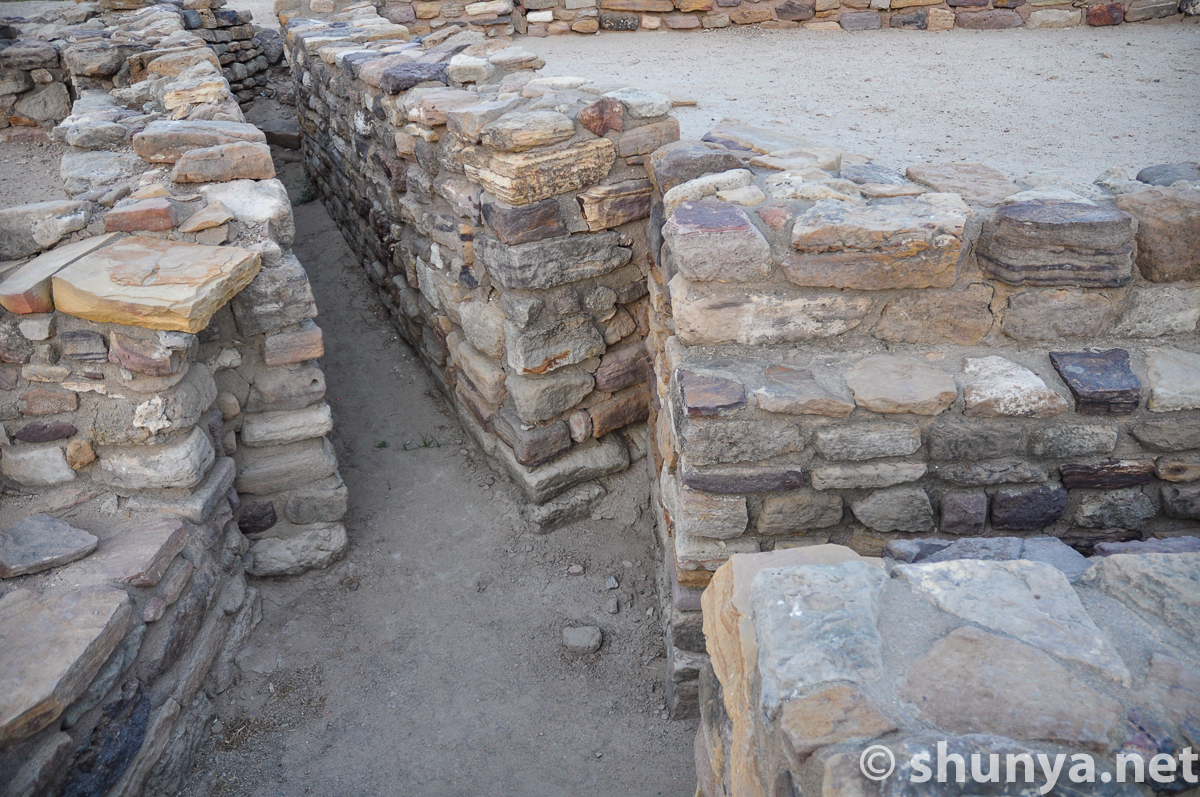
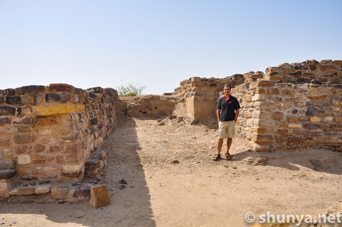
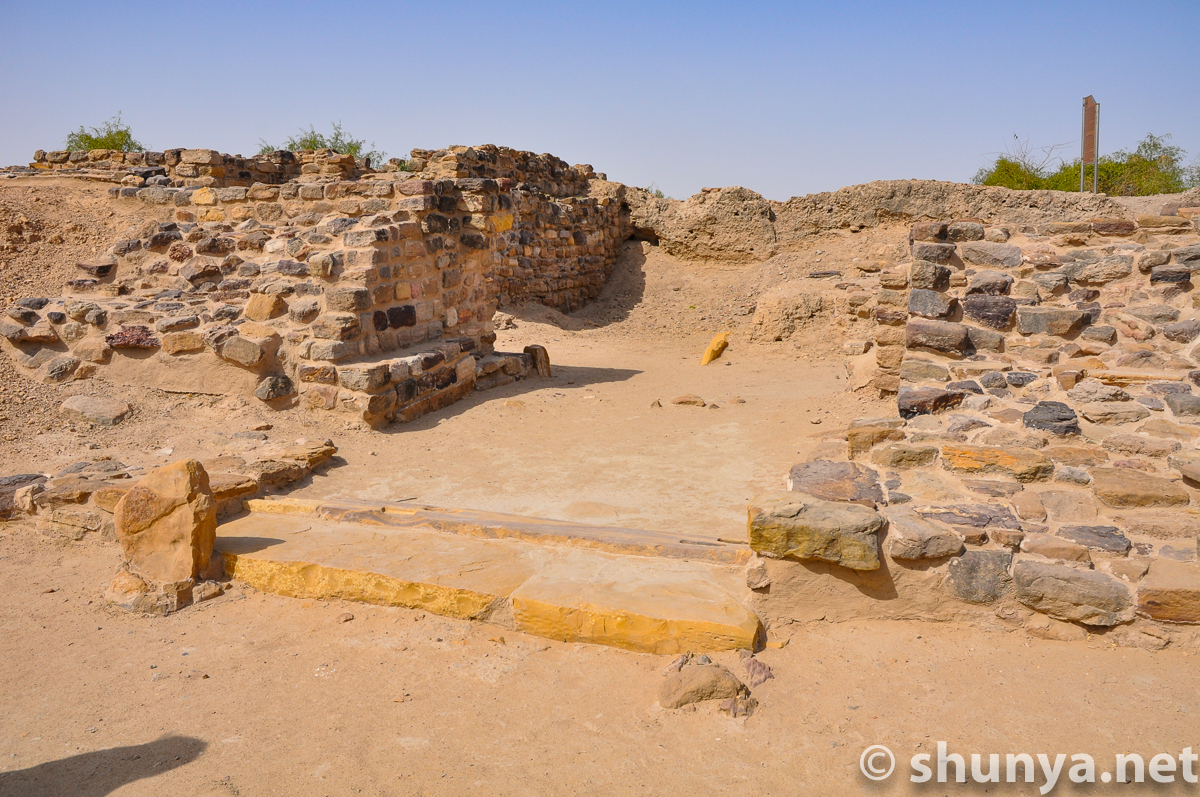
Corridor inside citadel 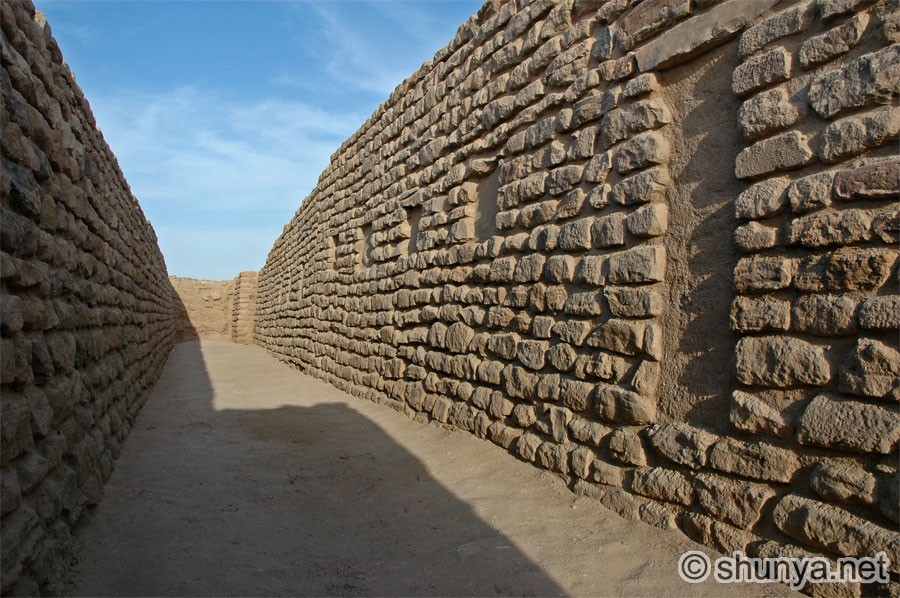 |
Circular rooms (more) 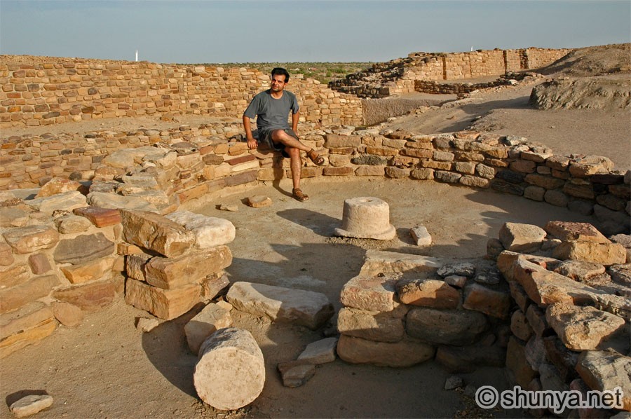 |
Former royal chamber? 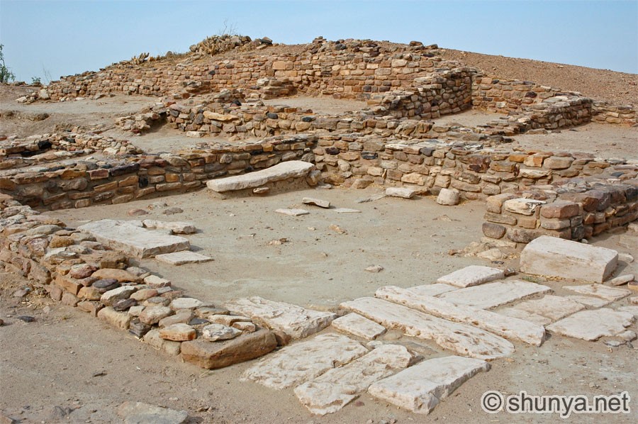 |
|
Eastern entryway 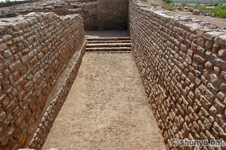 |
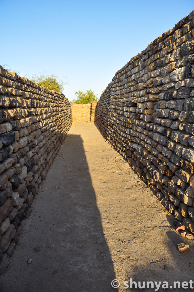
Passageway inside citadel 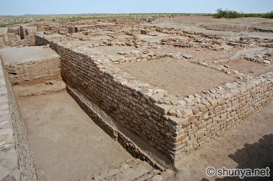 |
Passageway 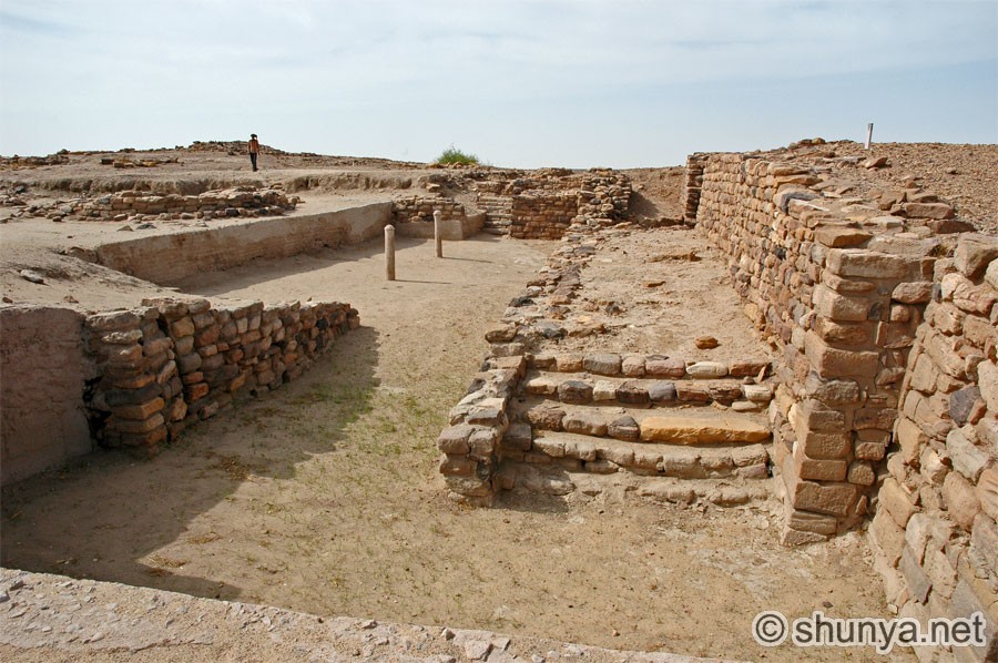 |
Brickwork from two eras 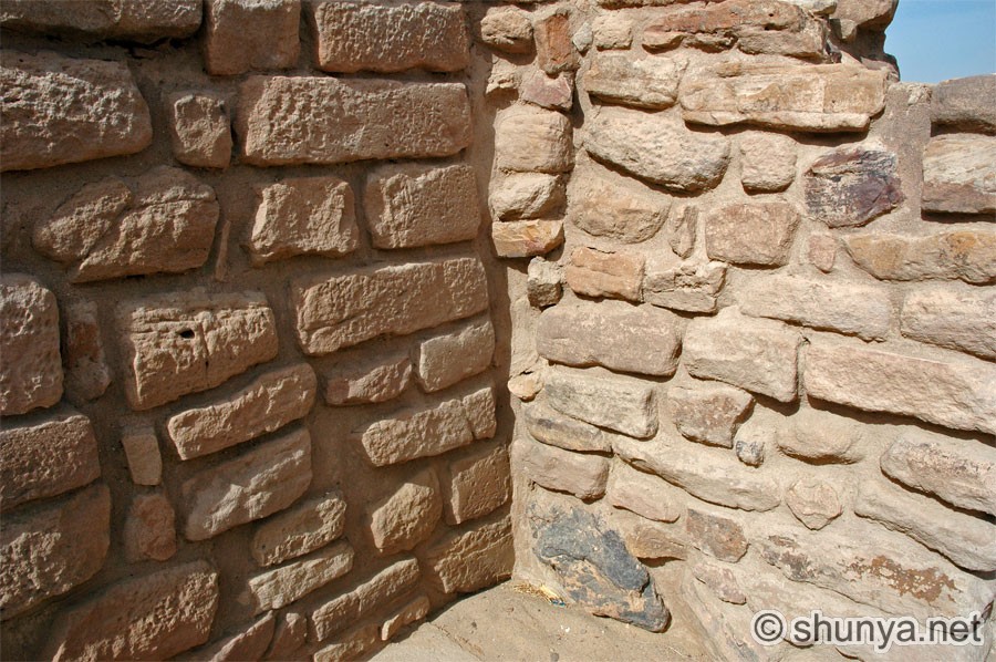 |
|
Water harvesting conduit 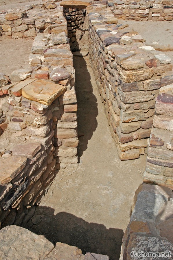 |
Water harvesting conduit 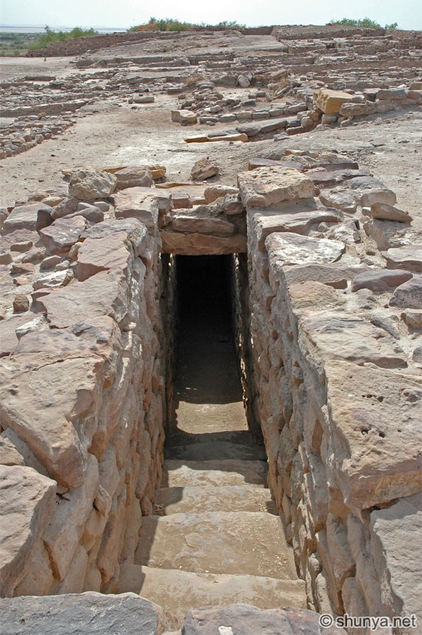 |
A fine pillar base 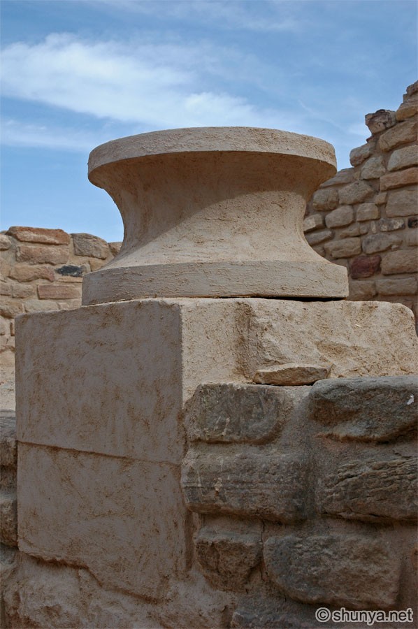 |
Tourist bungalow
from 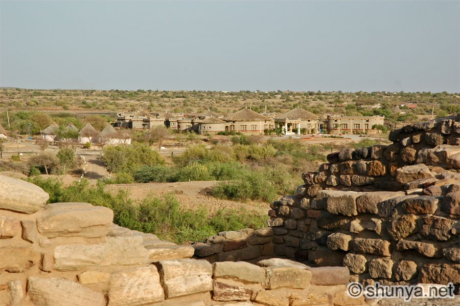 |
|
North-eastern corner 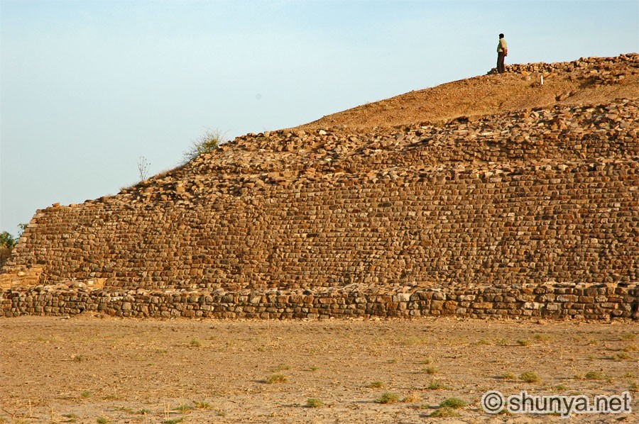 |
Northern wall 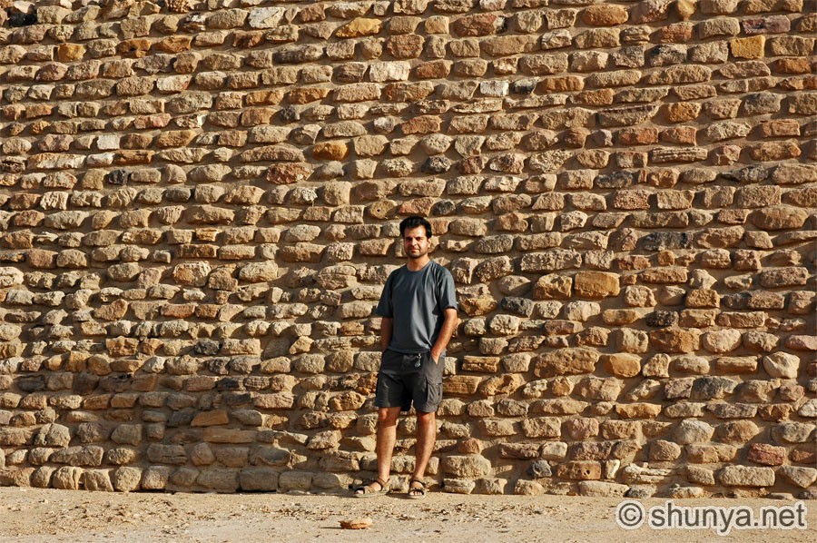 |
 |
Northern wall 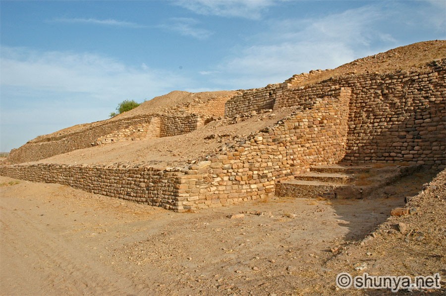 |
|
North entrance 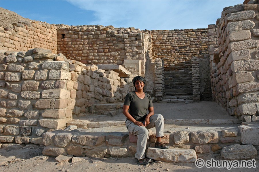 |
Writing over
the north 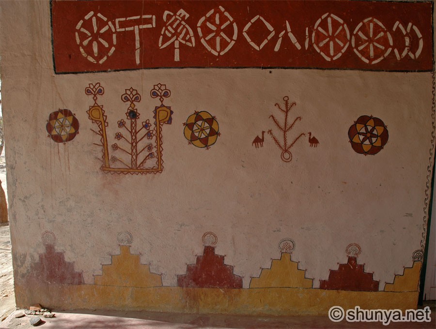 |
Stadium from
 |
Stadium from middle town 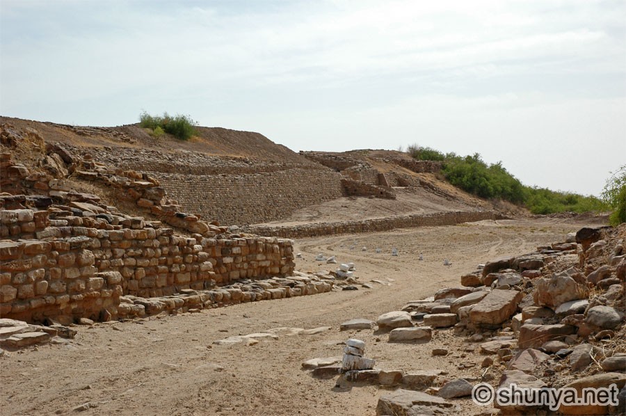 |
|
Middle town ruins 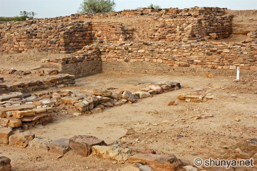 |
Market street (more) 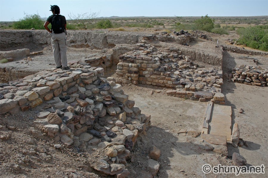 |
Market street 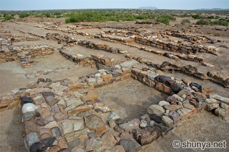 |
Four-way intersection 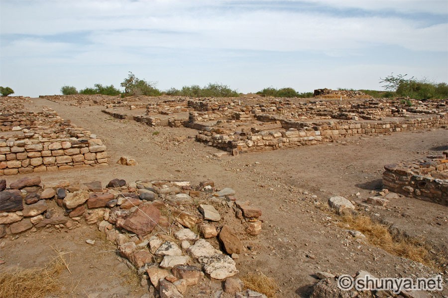 |
|
Side street 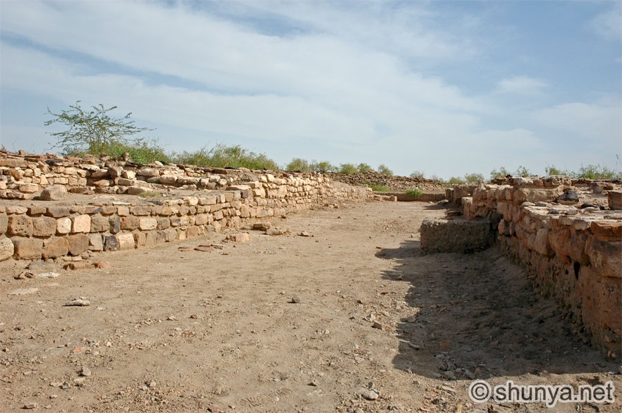 |
Waste receptacle 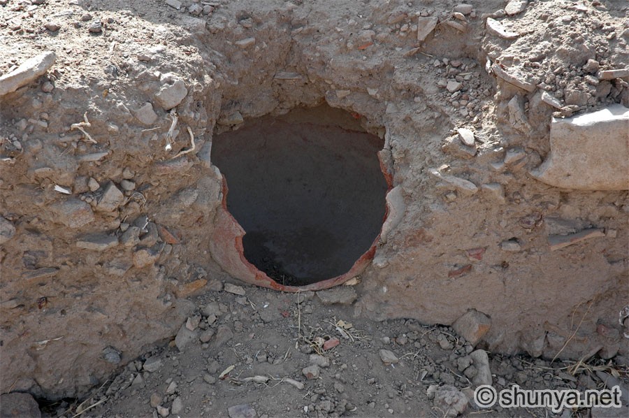 |
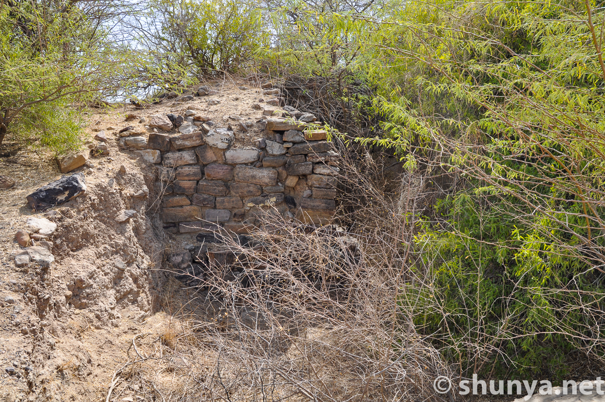
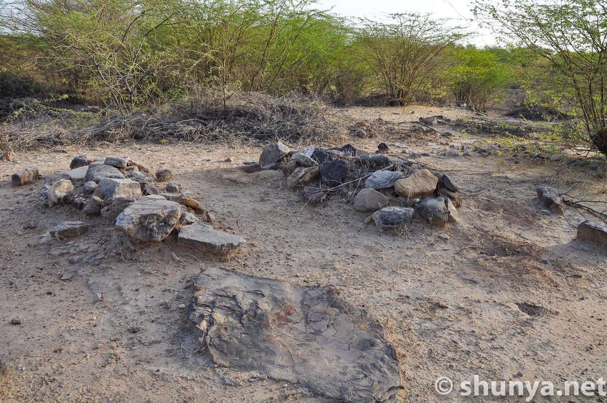
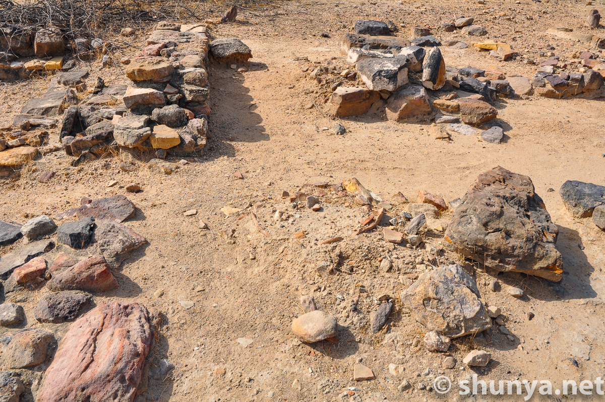
Fragments of the past 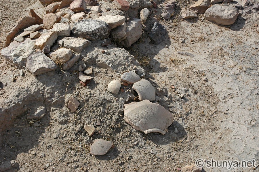 |
Fragments of the past 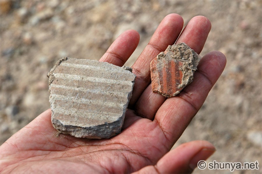 |
|
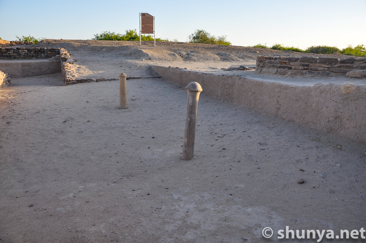
Cemetery area
 |
The largest
water tank 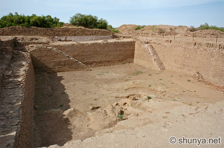 |
The largest
water tank 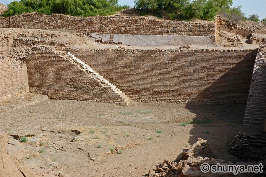 |
Women near the ruins 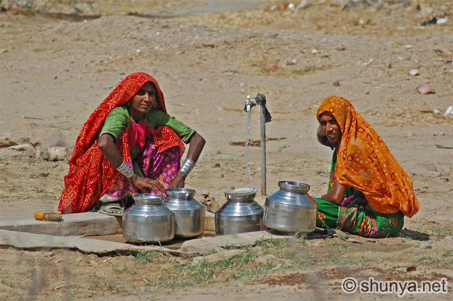 |
|
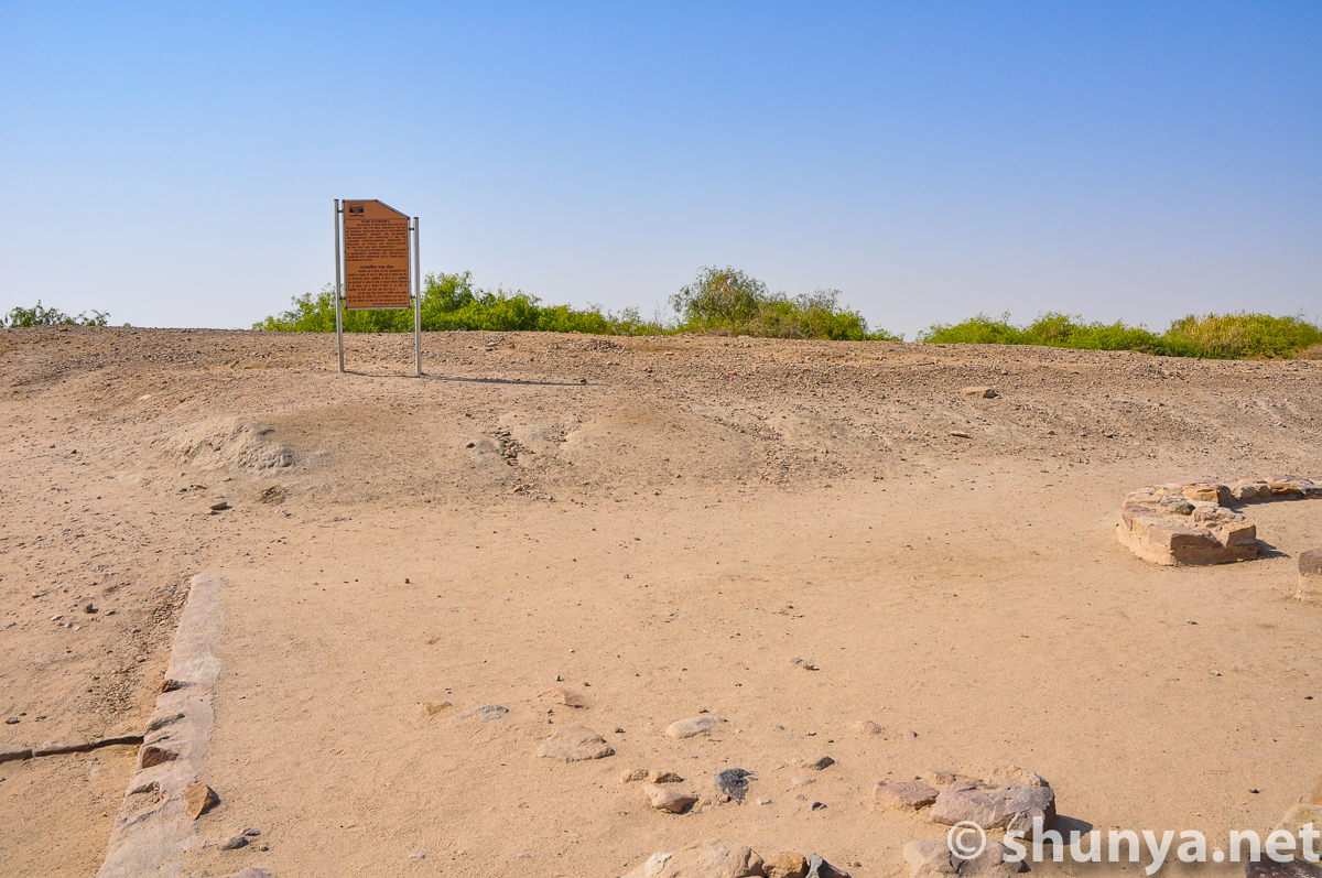
Dholavira signpost 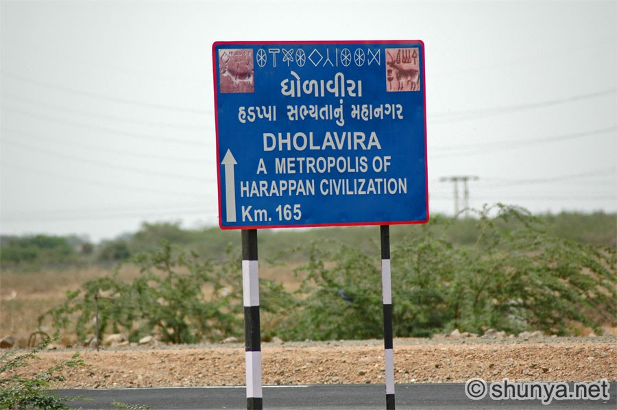 |
Across the
Great Rann 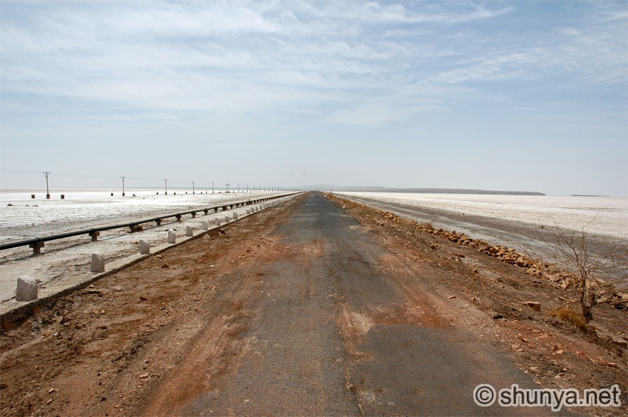 |
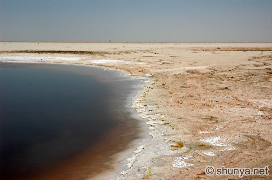
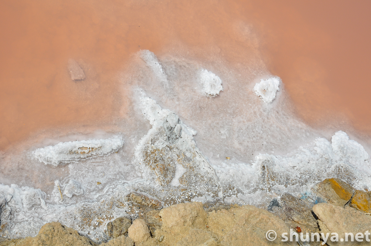
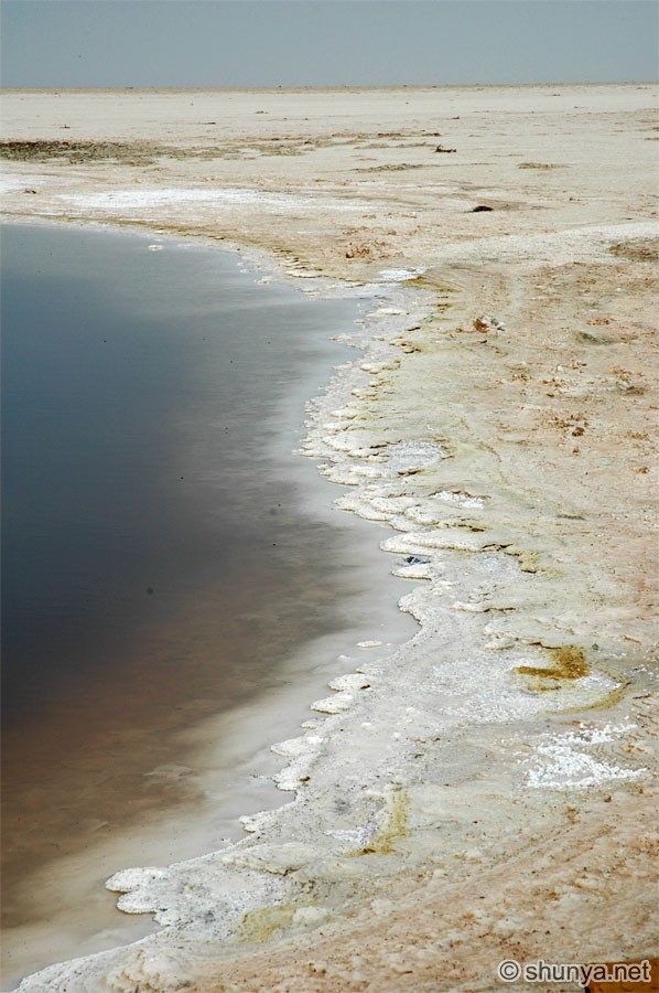
Saline mudflats (more) 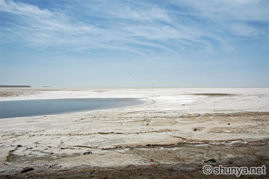 |
Great Rann of Kutch
 |
|
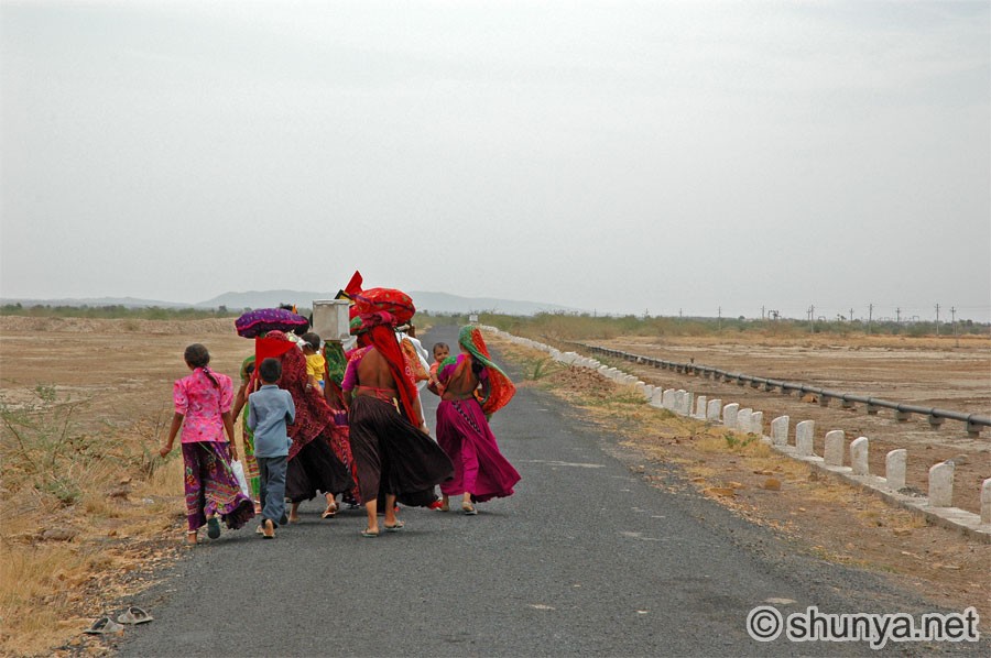
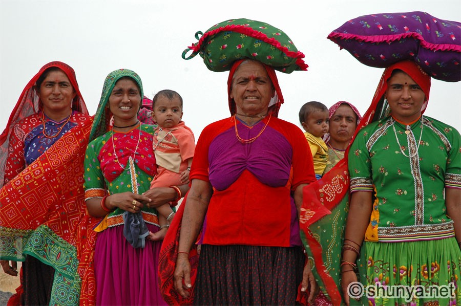
Rabari tribeswoman (more) 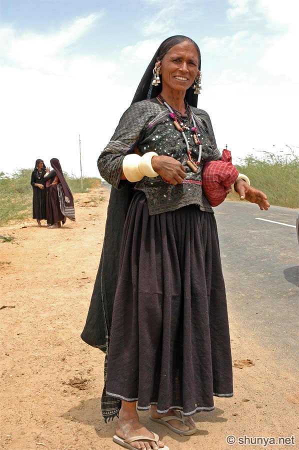 |
Rabari tribeswomen 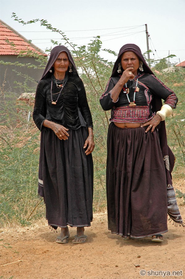 |
Local woman 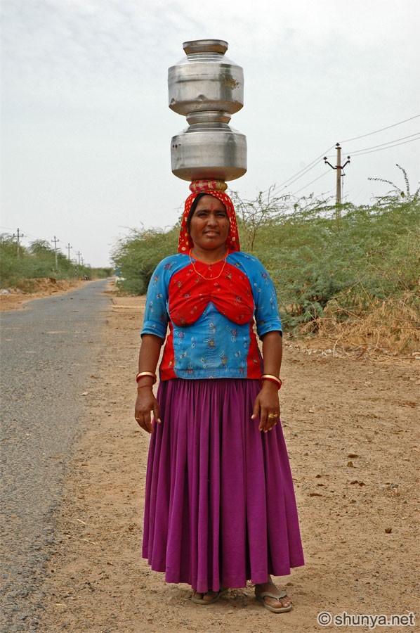 |
Local woman 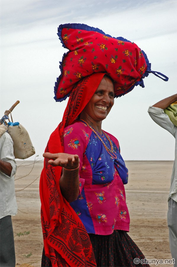 |
Local women (more) 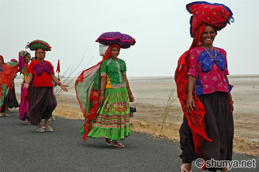 |
Local women (more) 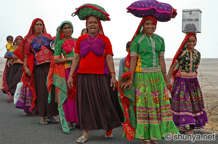 |
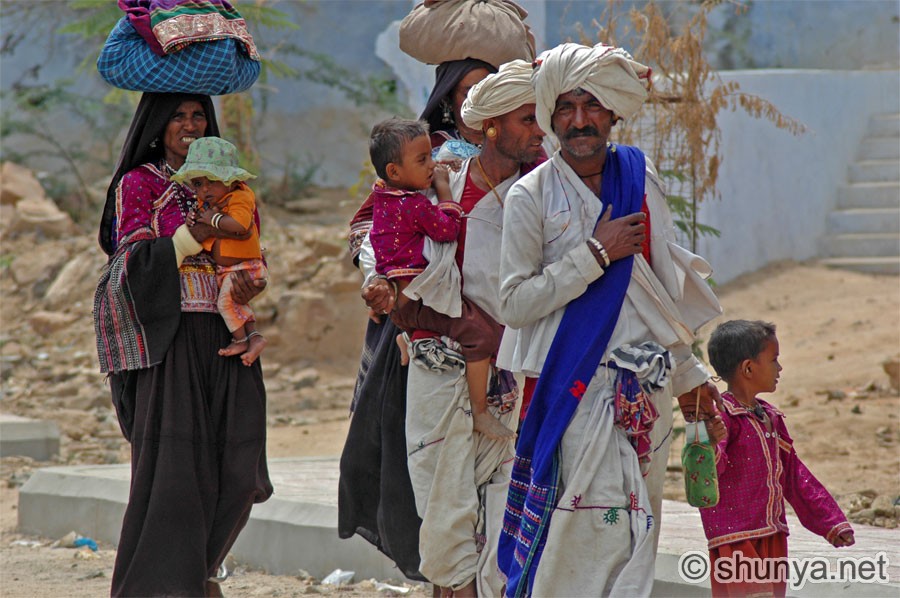
A tribal family (more) 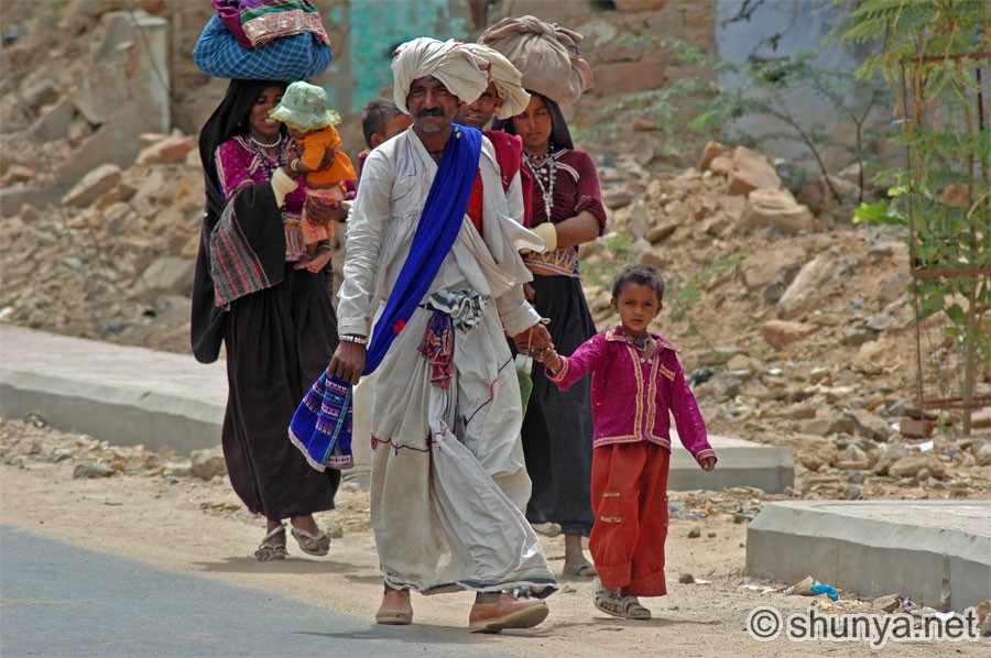 |
Path to the excavated site 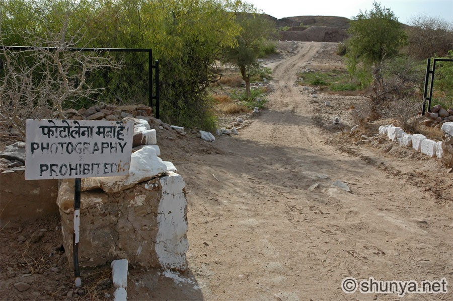 |
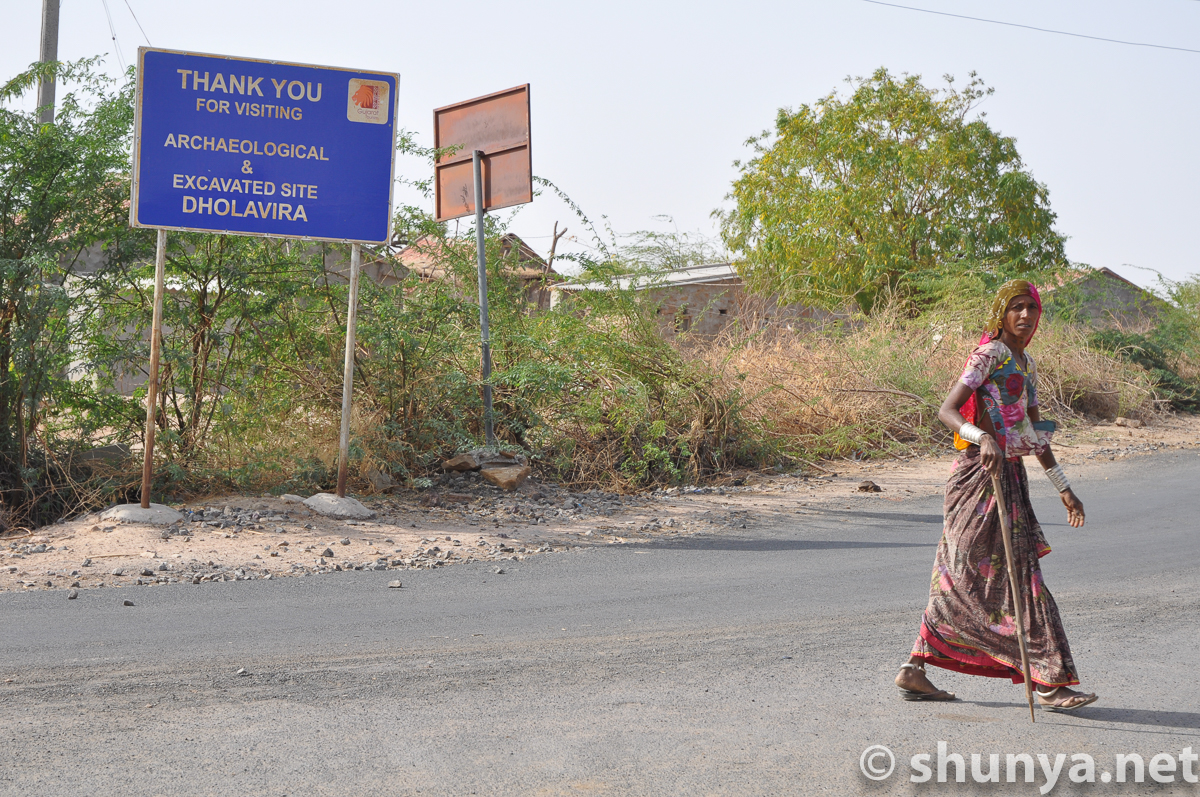
| Traveling hundreds of miles in summer to this isolated site near the western edge of India, I encounter this sign (row above, right image) by the ASI. Shaking my head in disbelief, I ask: Why? What can possibly be the rationale for prohibiting photography here? The ASI ought to market this global cultural heritage site and provide better facilities (e.g., a site museum, toilets, etc.). The ASI also bars photography at other site museums, of works with long expired copyright claims. Why? Nobody ever has a good answer. 'Orders from above' is the pat reply. 'Apply for permission in Delhi'. If this isn't the product of a bureaucratic mind I don't know what is. Annoyance wells up in me again. Stupid rules need not be followed, I tell myself, and resolve to flout the injunction, if need be by cajoling or bribing the lone caretaker on site, or sneaking in behind his back. [—Namit Arora, 2006] | |||


Designed in collaboration with Vitalect, Inc. All rights reserved. |