


Arusha, Tanzania
Established in 1963, the Arusha administrative region in northern Tanzania has an area of about 86,100 square km, including 2,460 square km of water area. The Serengeti Plain lies in the northwest, and the Maasai Steppe, broken only by isolated gneiss hills, lies in the south. In the central area of the region are the Crater Highlands, bordering portions of the East African Rift System. Volcanic activity and faulting have created broad lava plains and volcanic massifs such as Mount Meru (4,566 m) and the occasionally active Oldoinyo Lengai (2,878 m). Rainfall varies from 1,800 mm annually on Mount Meru to 508 mm on the semiarid plains. Terrain ranges from wooded savannas and montane forests to alpine areas.
Arusha is an important coffee-producing area. Other crops include grain, vegetables, cotton, pyrethrum, papain, sisal, and sunflower seeds. Magnesite and meerschaum are mined in the region; there are also salt, mica, saltpetre, and ochre deposits. Tourism is important, based on the big-game areas of Taranqire National Park, Ngorongoro and Ngurdoto craters, Olduvai Gorge, and Lake Manyara. The region's major ethno-linguistic groups include the Arusha, Meru, Iraqw, and Maasai. Arusha town, an important business centre, is the regional capital. Pop. (1994 est.) 1,596,000. [—Adapted from Encyclopedia Britannica, 2004]
|
Uhura (Peace) Monument 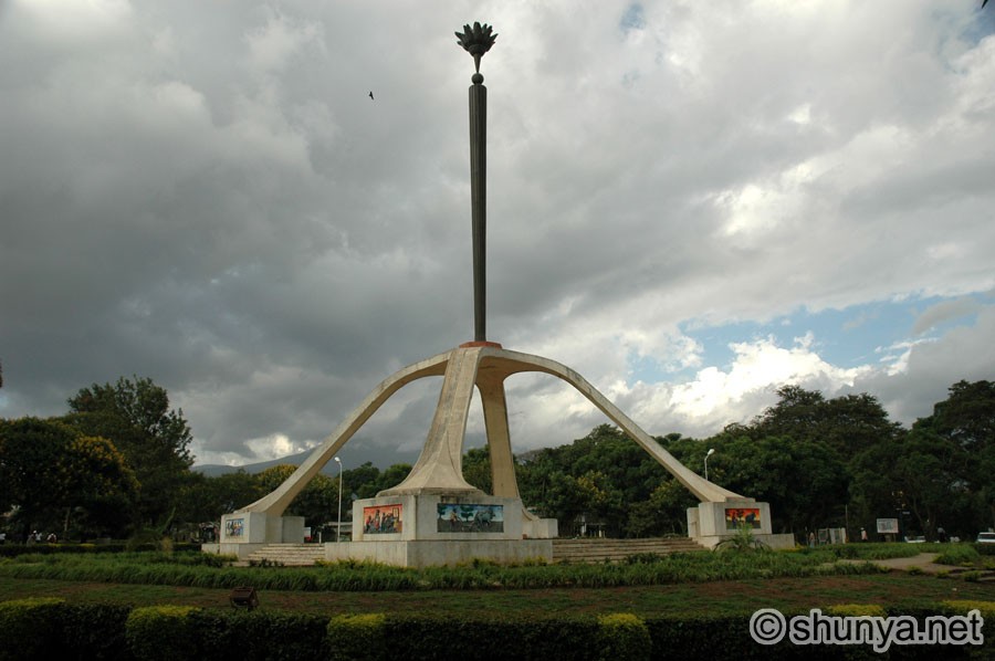 |
Maasai women 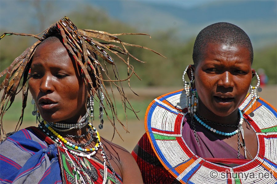 |
Maasai man 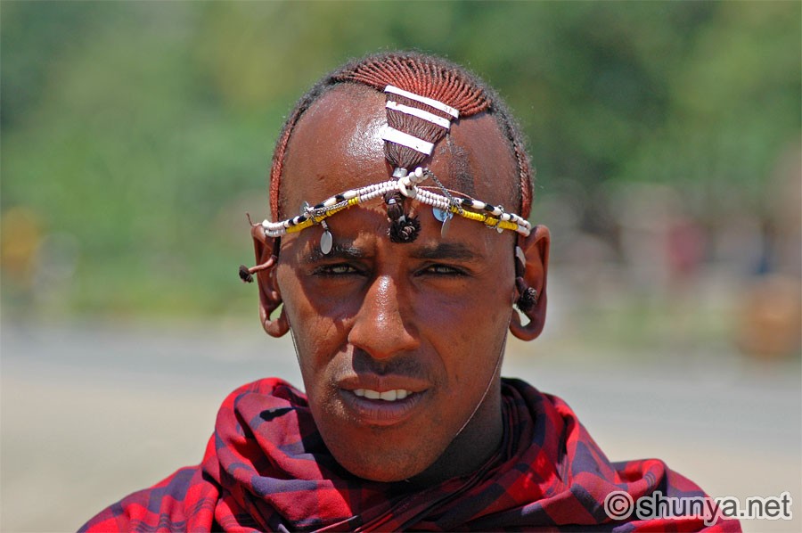 |
Maasai village 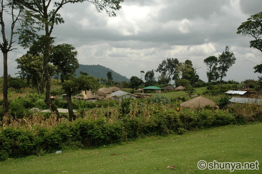 |
|
Trekking near Mt Meru 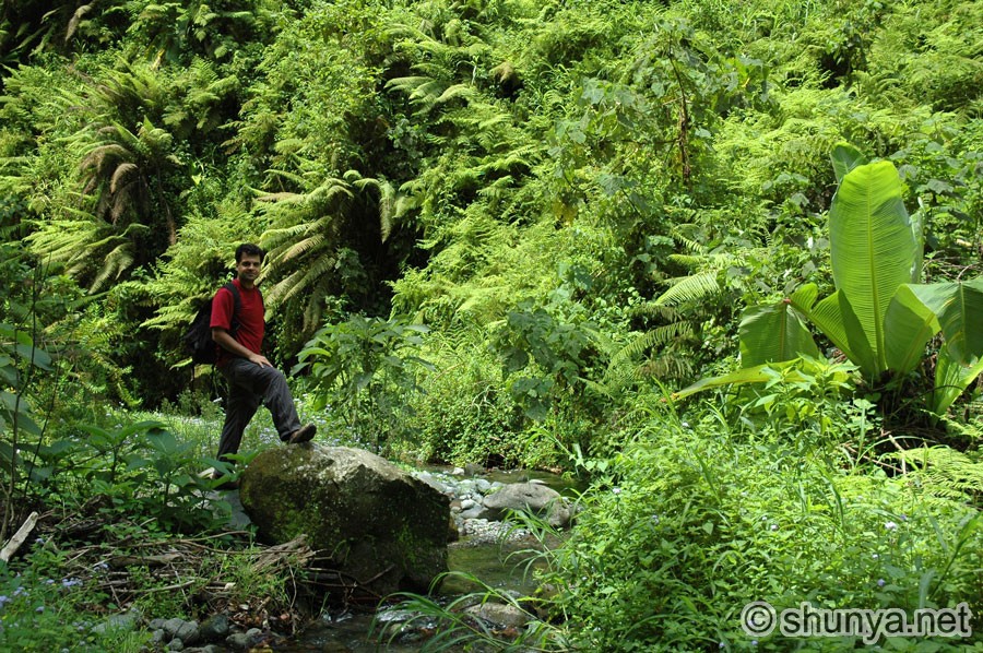 |
Village abodes 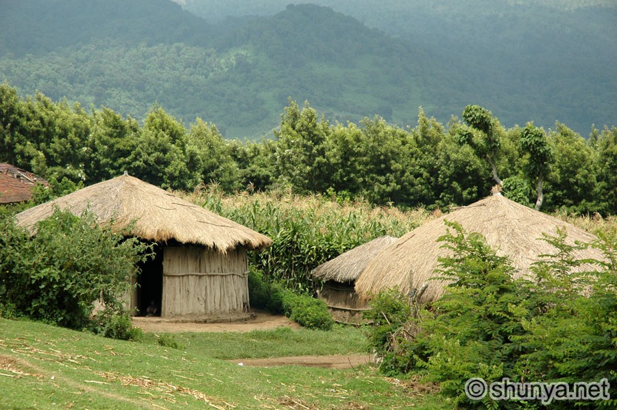 |
||
|
Village women 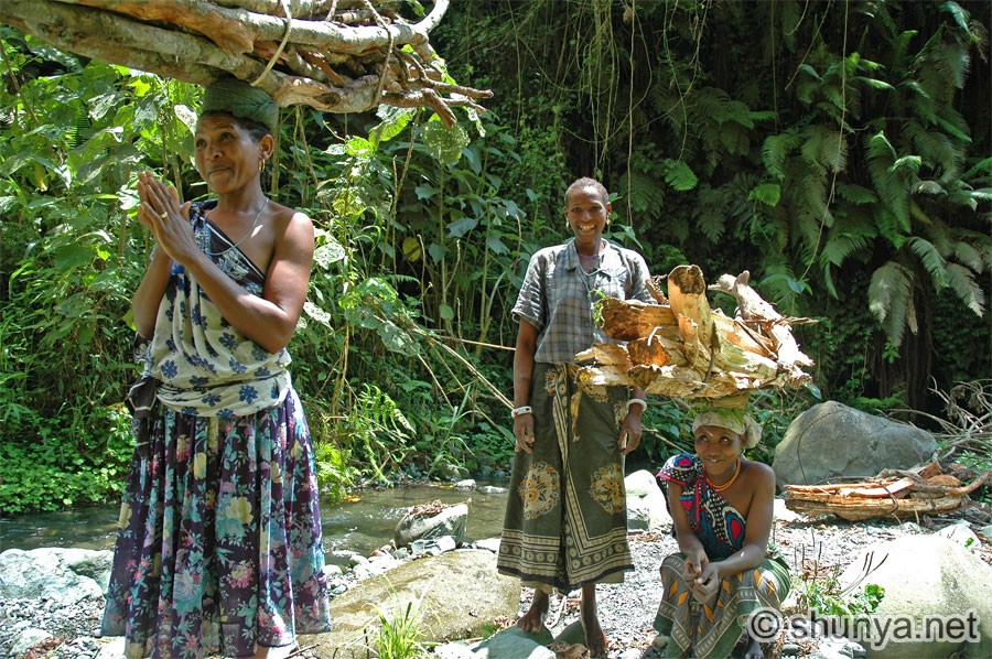 |
Two boys 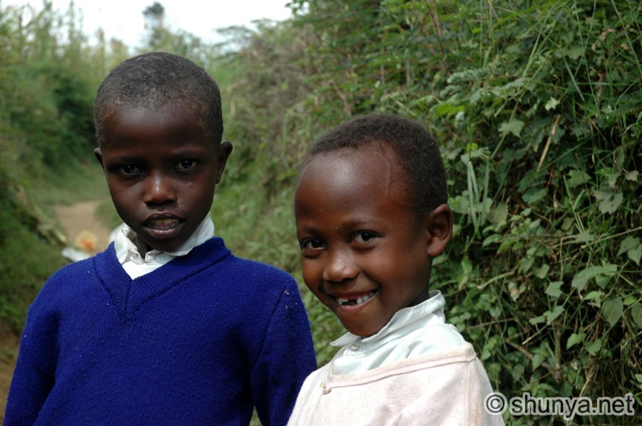 |
||
|
Valley view 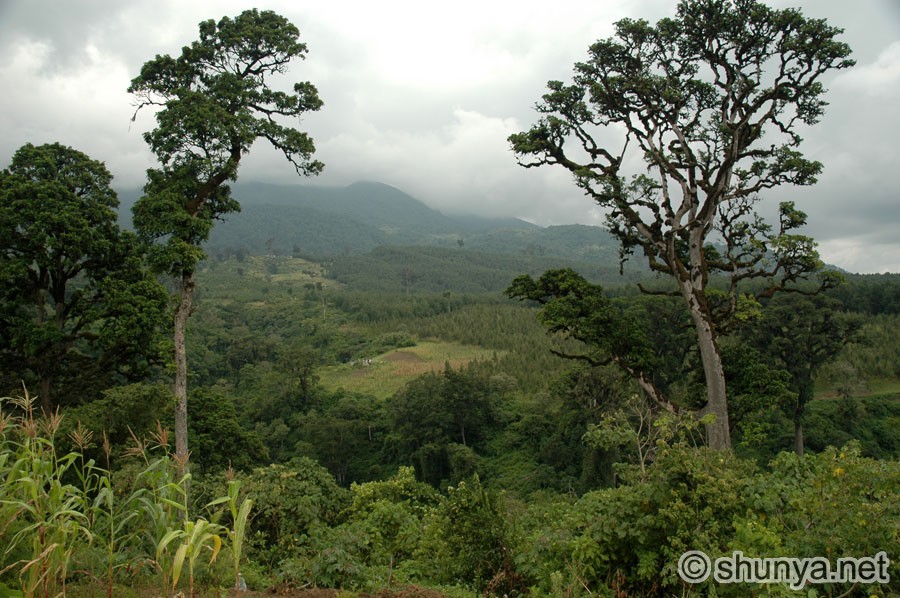 |
Settlement 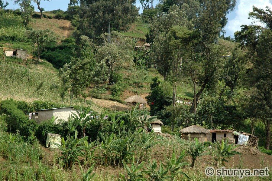 |
Trek to waterfall 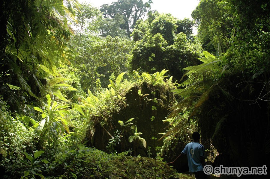 |
Waterfall 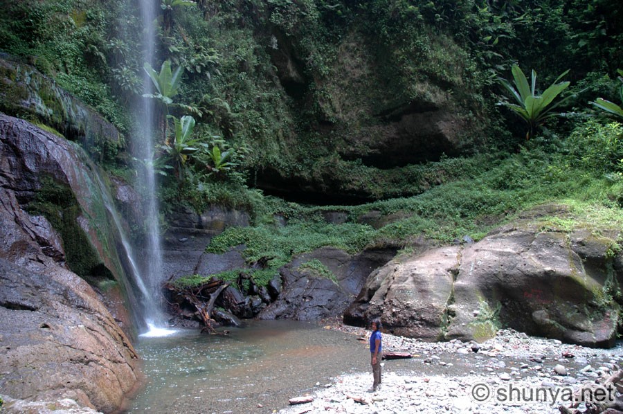 |
|
Hauling wood 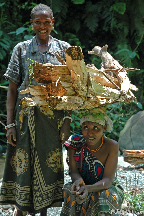 |
Maasai mother & child 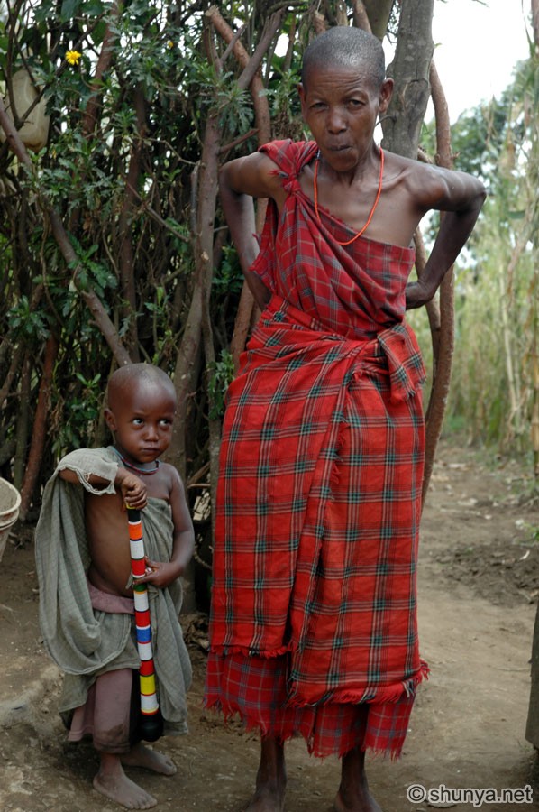 |
||
|
Maasai boma 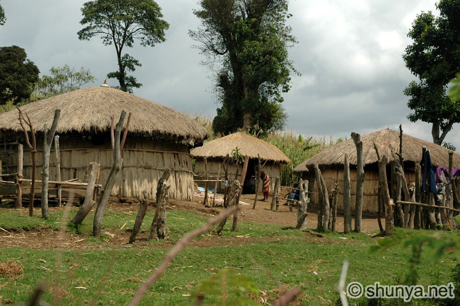 |
Another boma 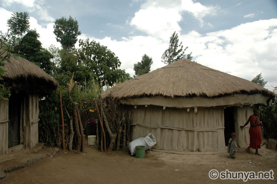 |
||
|
Inside a Maasai hut 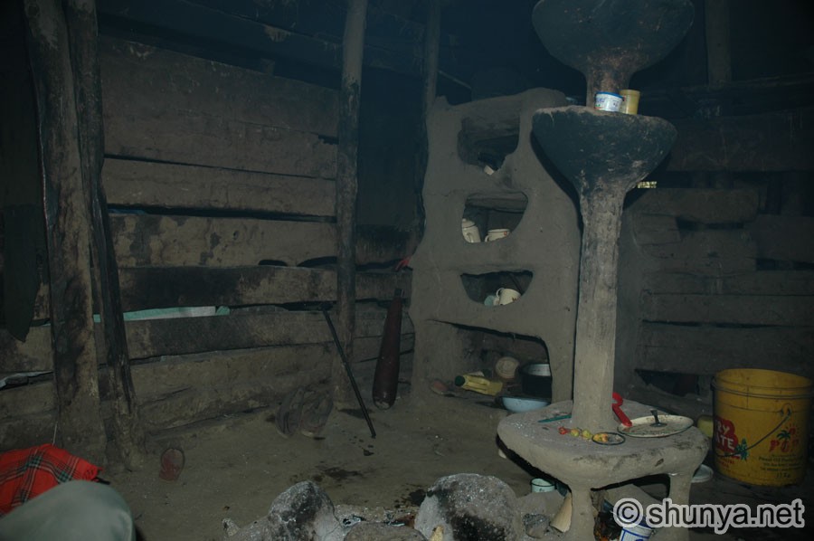 |
Maasai men 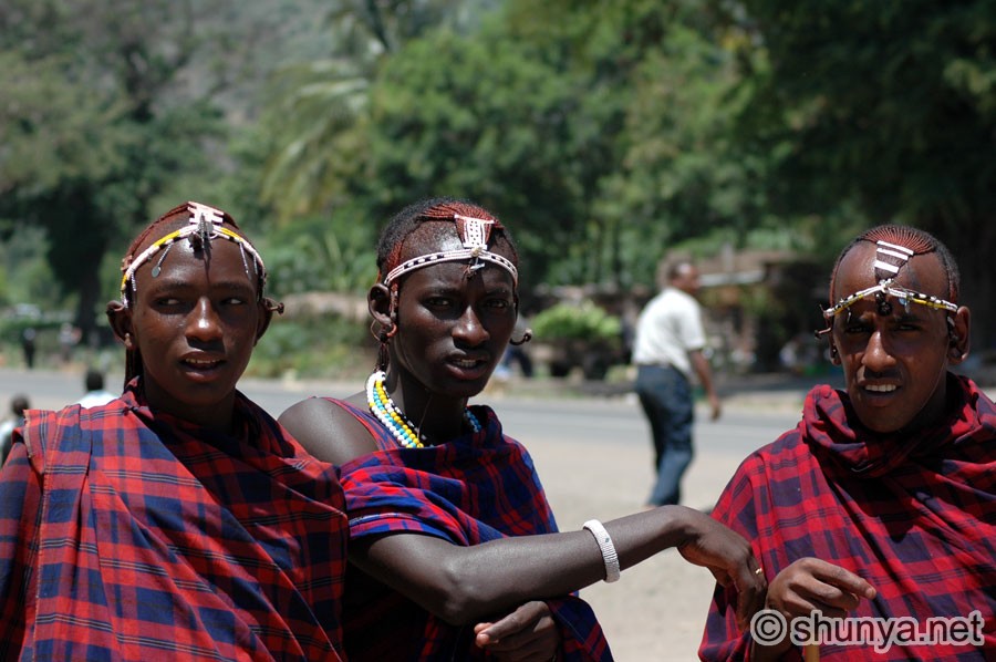 |
A smile for the visitor 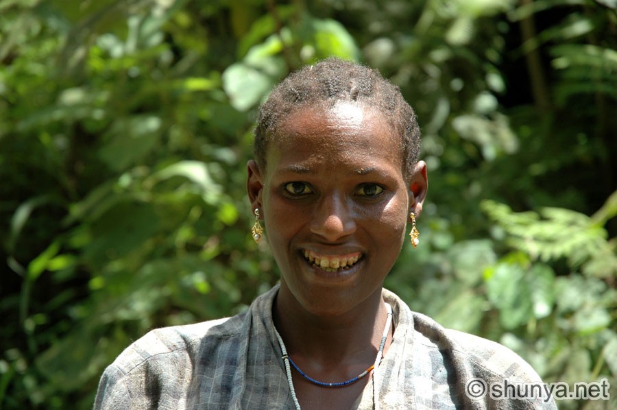 |
Valley view 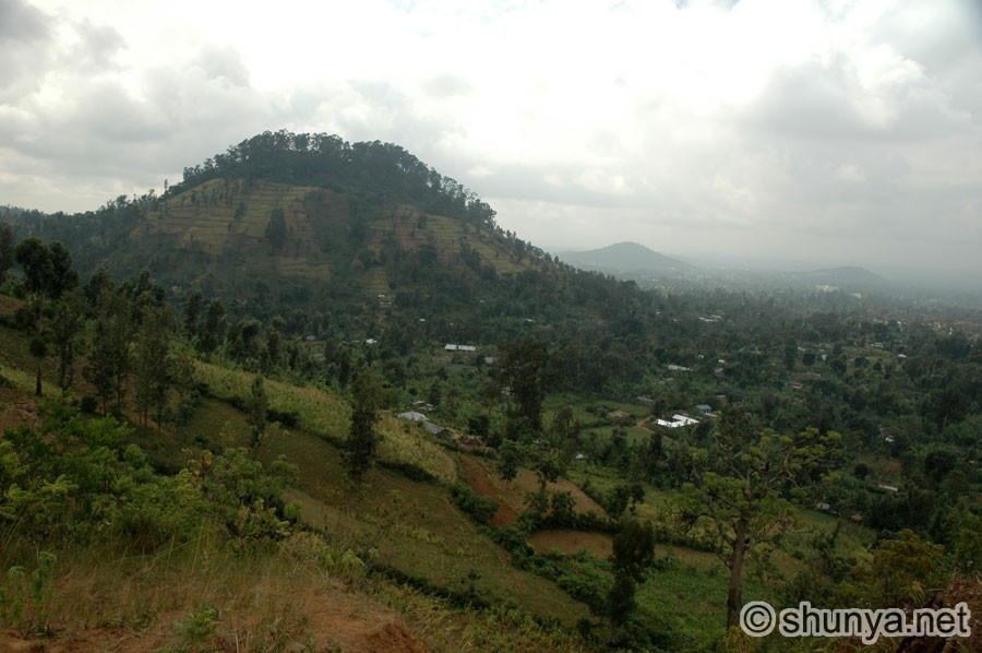 |
|
Foothills of Mt. Meru 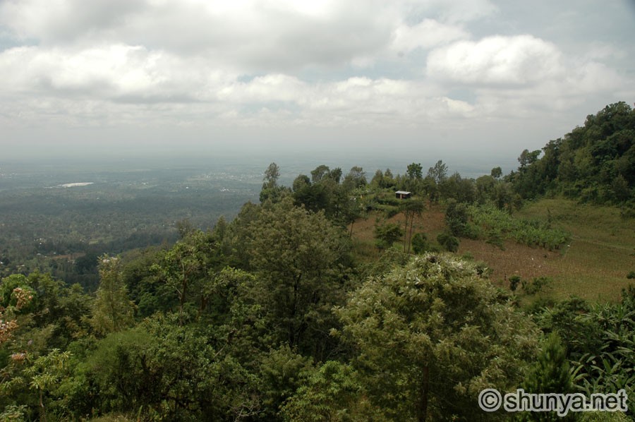 |
Meru woman 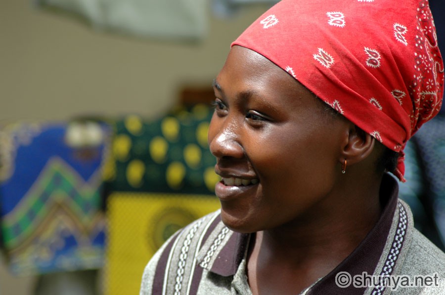 |
Meru woman  |
Village path near Mulala 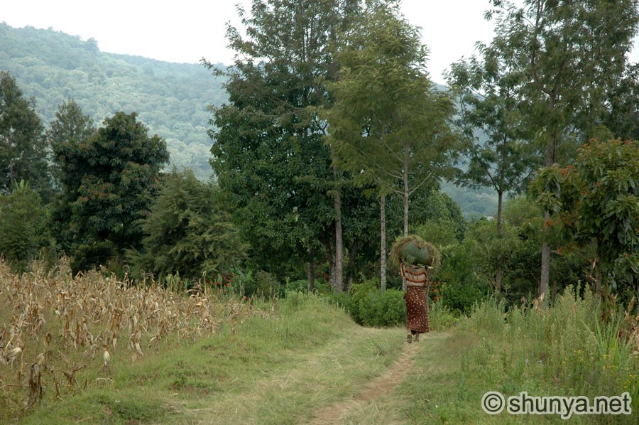 |
|
Chameleon 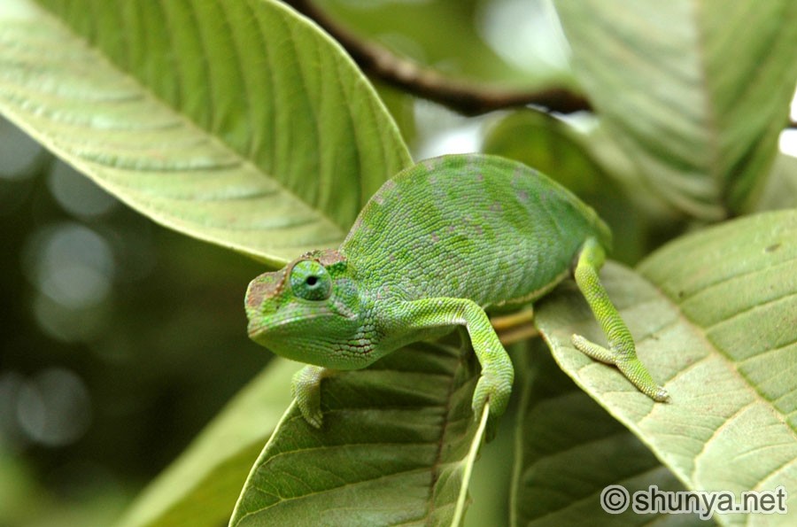 |
Grinding coffee 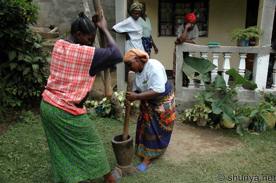 |
Honey receptacle 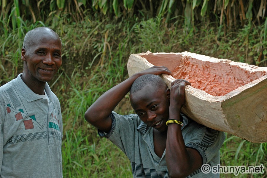 |
Wild banana tree 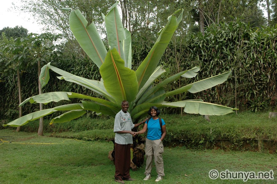 |
|
Local girl 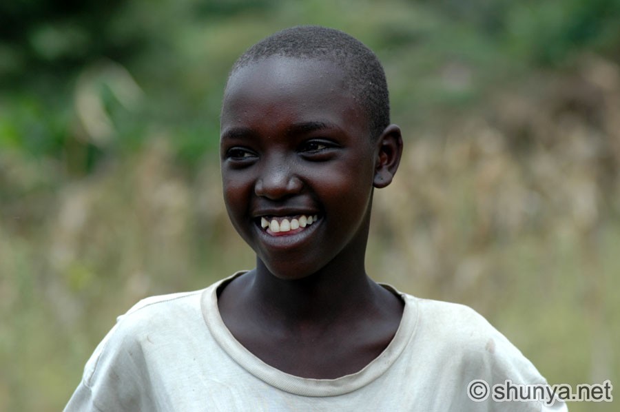 |
Mt. Kilimanjaro 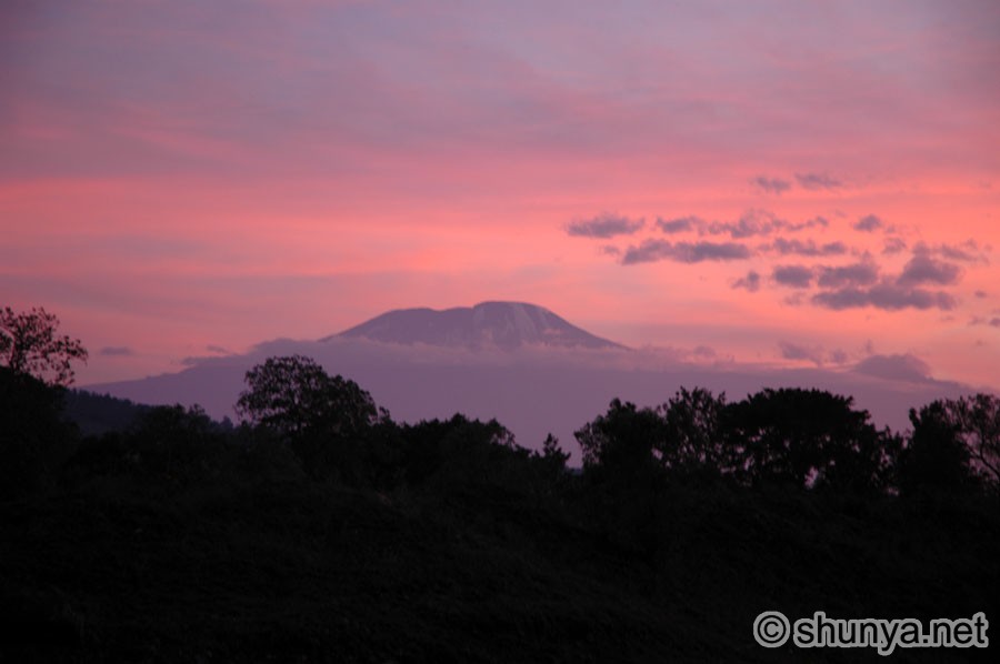 |
Mt. Kilimanjaro 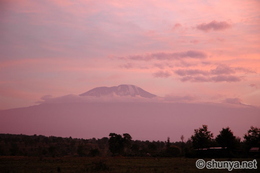 |
Local girl 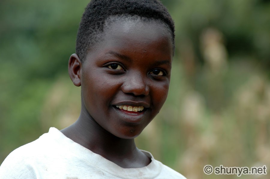 |
Designed in collaboration with Vitalect, Inc. All rights reserved. |