


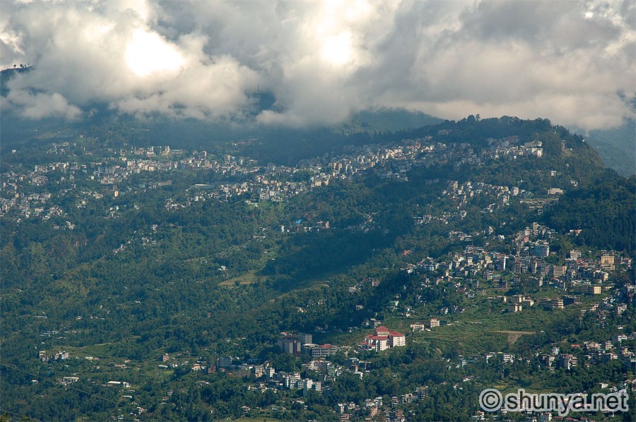
Gangtok ("top of the hill"), capital of Sikkim state, lies at 5,600 ft. It was the seat of the kingdom of Sikkim until the monarchy was abolished (1975) and Sikkim became part of India in 1976. The town, a market centre for corn, rice, pulses, and oranges, was an important point on the India-Tibet trade route via Nathula (Nathu Pass), 21 km northeast, until the border with Tibet was closed in 1962. From Gangtok the North Sikkim Highway (1962) reaches the Tibetan border areas via Lachung and Lachen. The town's landscape is marked by the former royal palace and chapel, two monasteries, the open-air Lall Market, and the Namgyal Institute of Tibetology (1958; a centre for research in Mahayana Buddhism). The noted Buddhist monastery of Rumtek and the royal cremation ground at Lukshiyama lie nearby. The population includes Nepalese, Tibetans, Lepchas, and Indians. [Adapted from Lonely Planet India; Oct 05]
Gangtok (more) 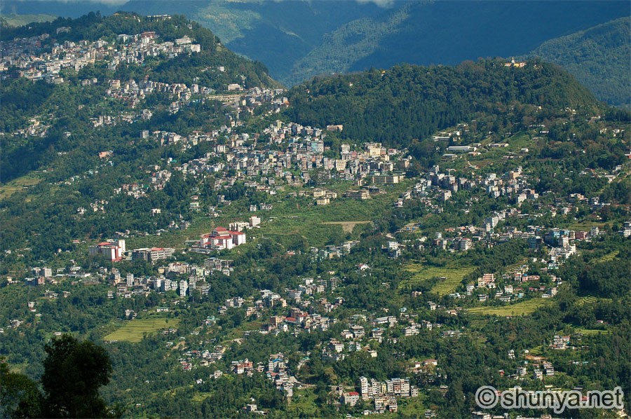 |
Namgyal Institute of Tibetology 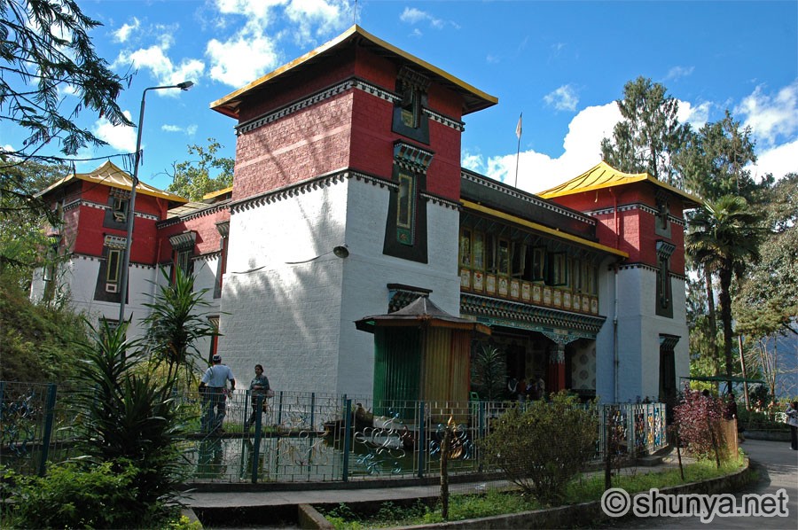 |
Inside the NIT museum 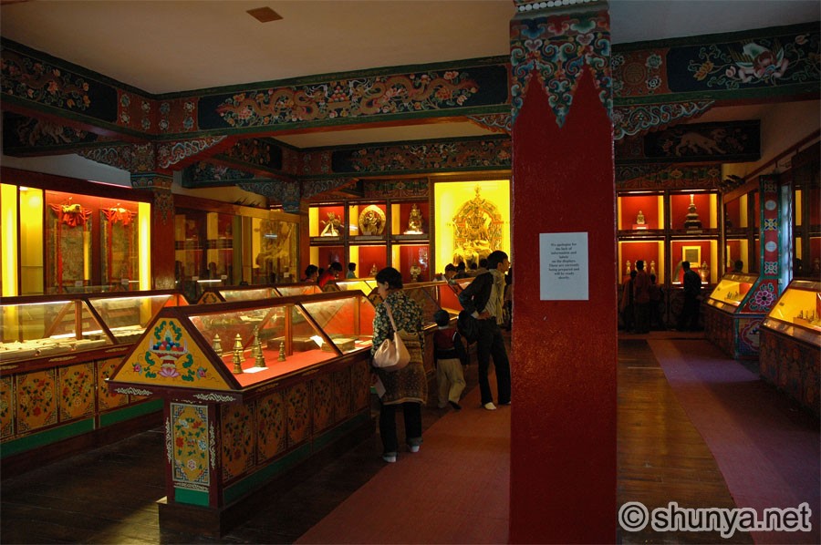 |
Ridge park 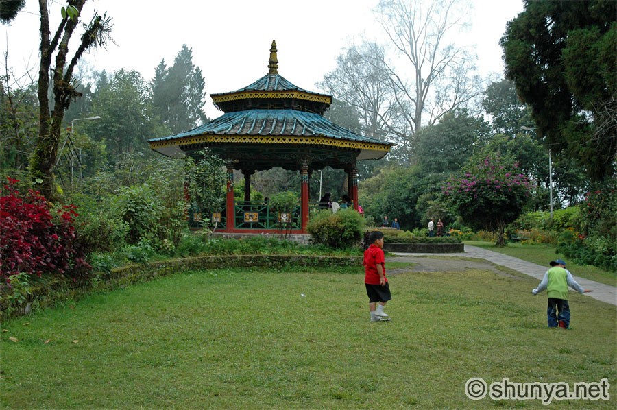 |
Do-Dul chorten (pagoda) 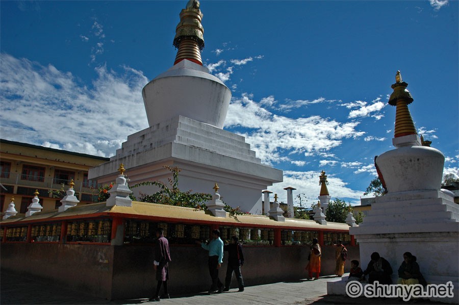 |
Prayer lamps 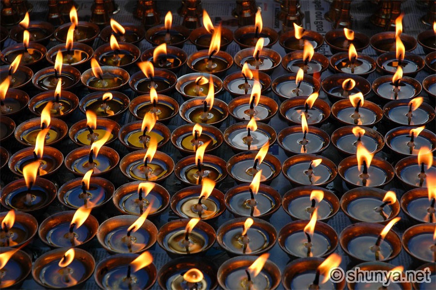 |
||
Do-Dul chorten (pagoda) 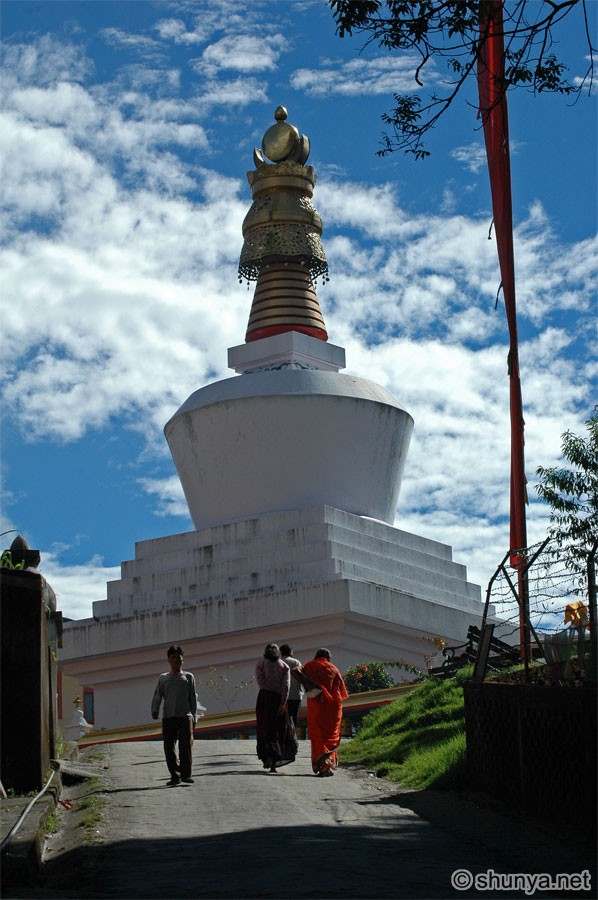 |
Picnicking schoolgirls 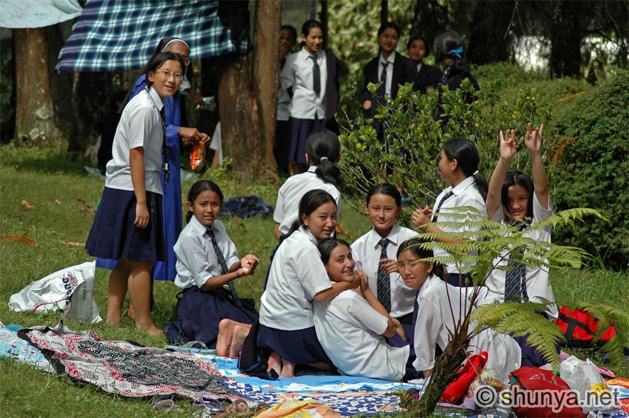 |
||
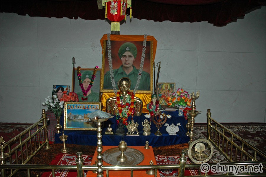
Enchey gompa (monastery) 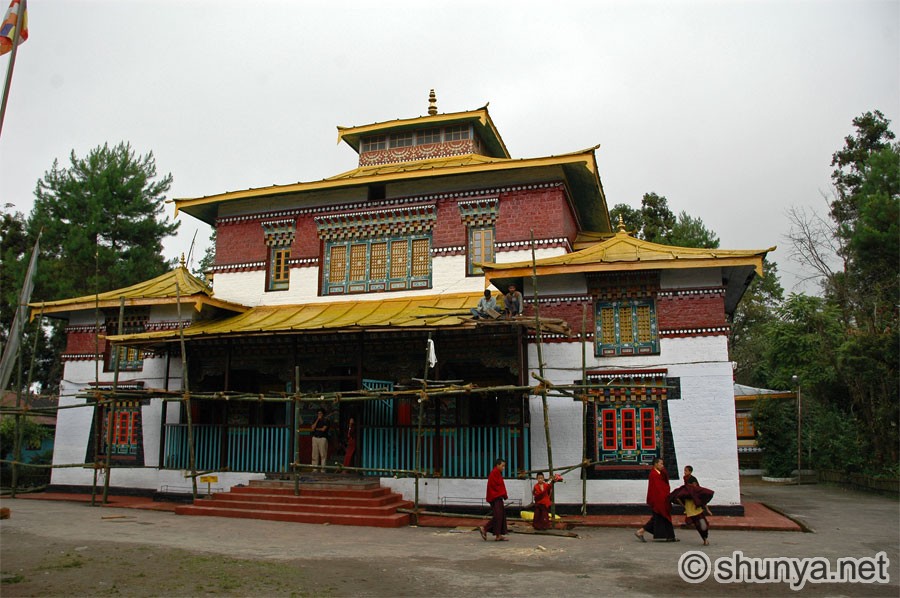 |
Boy monks at Enchey 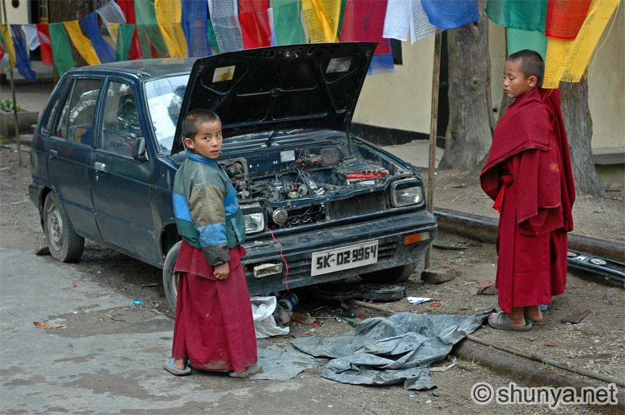 |
East Sikkim in October 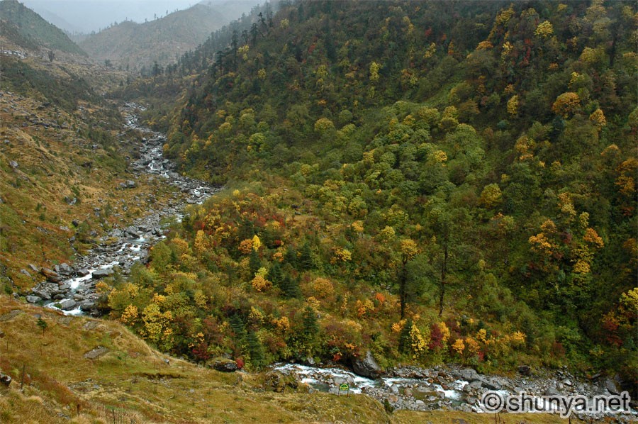 |
Roadside waterfall 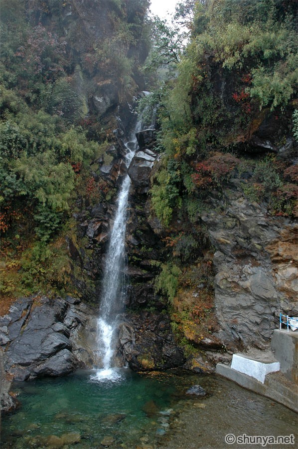 |
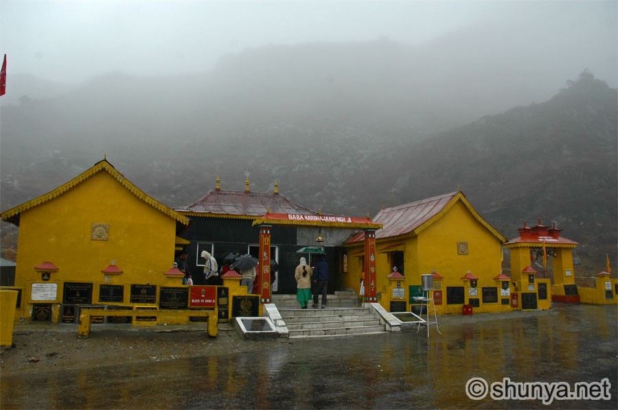
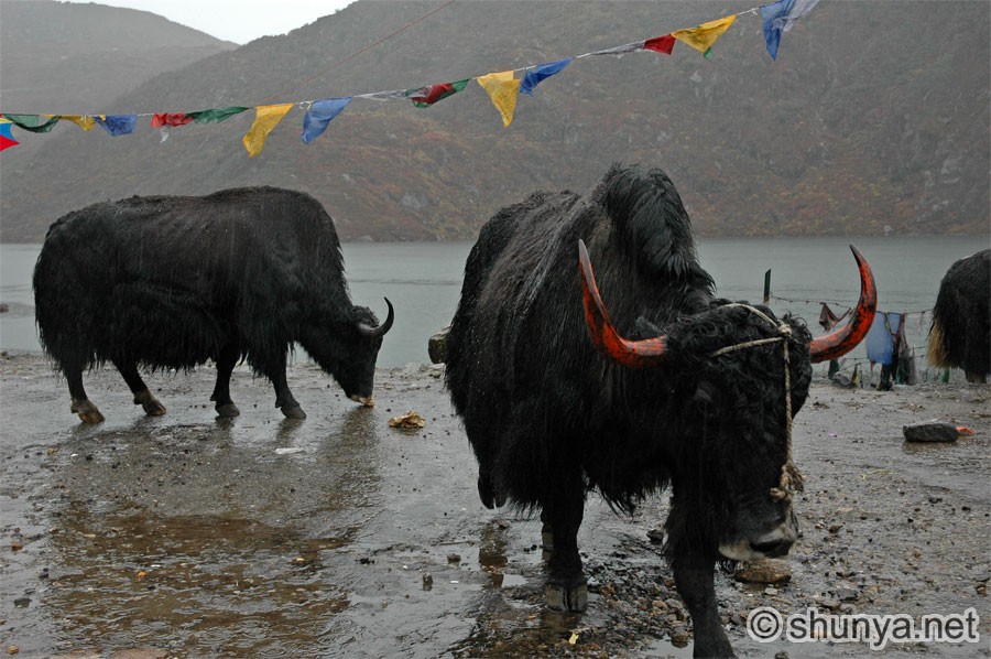
Tsomgo (Changu) lake, 3720 m 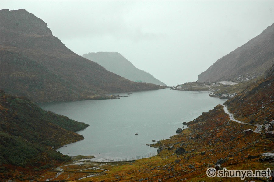 |
 |
||
Yak rider (more yaks) 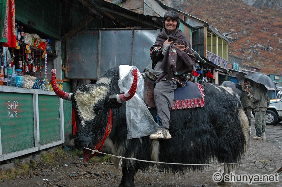 |
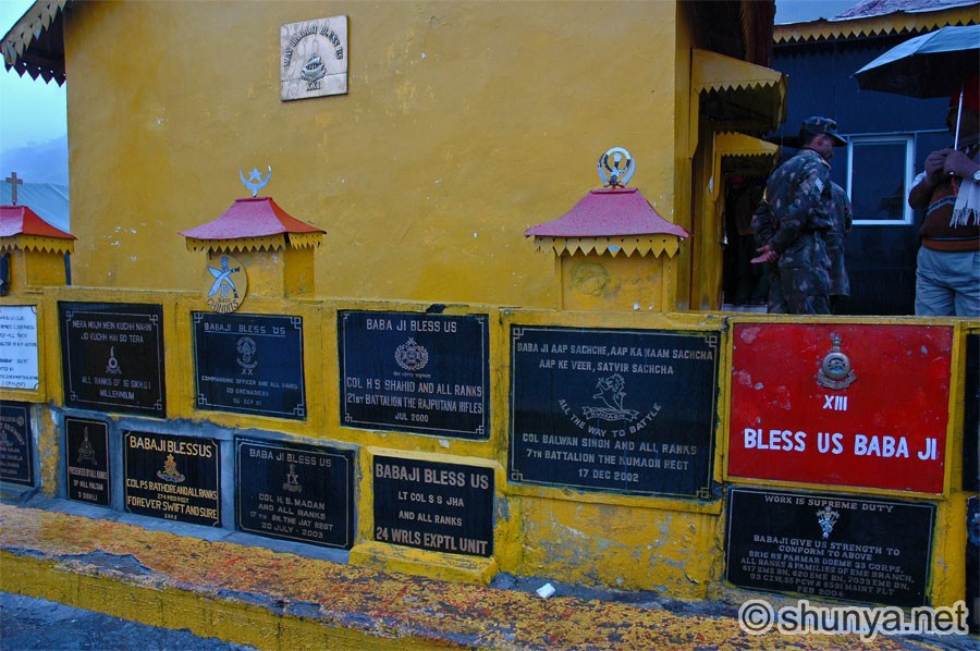
Nathula, India-China border 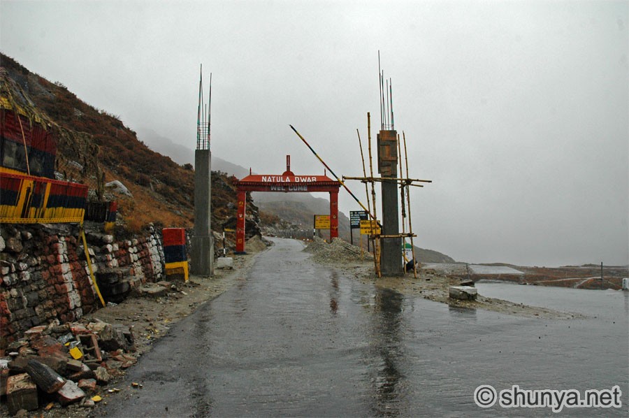 |
||
|
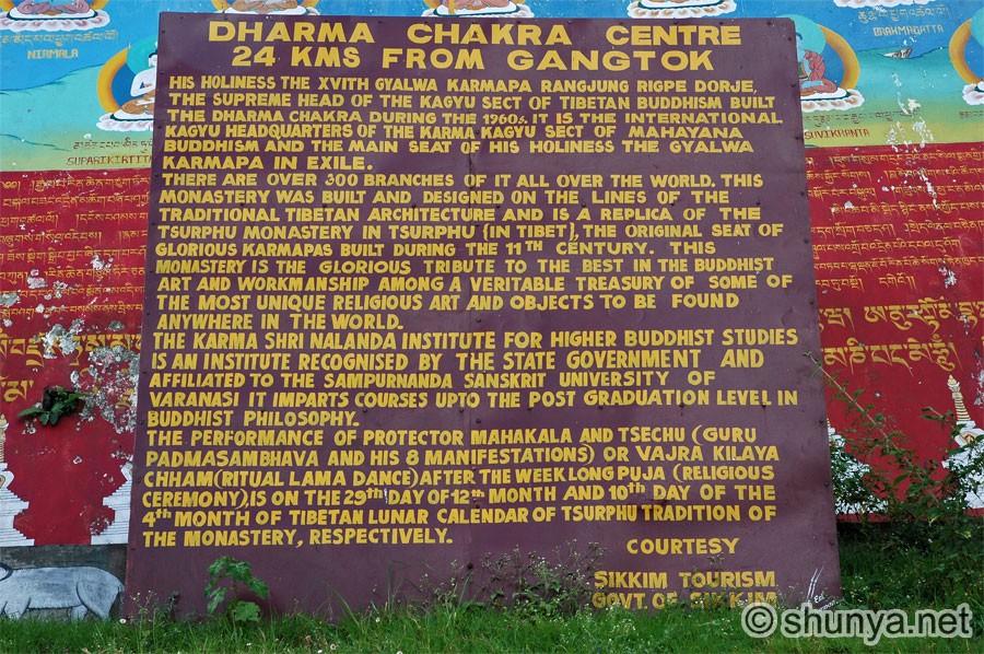
Rumtek Dharma Chakra Center (info) |
|||
Rumtek entrance 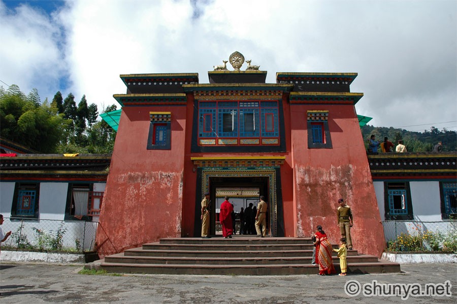 |
Rumtek gompa 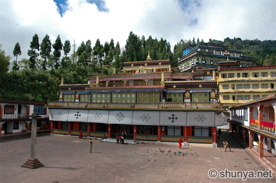 |
View of entrance from gompa 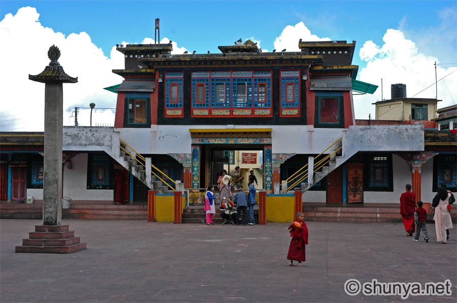 |
Wall art (more) 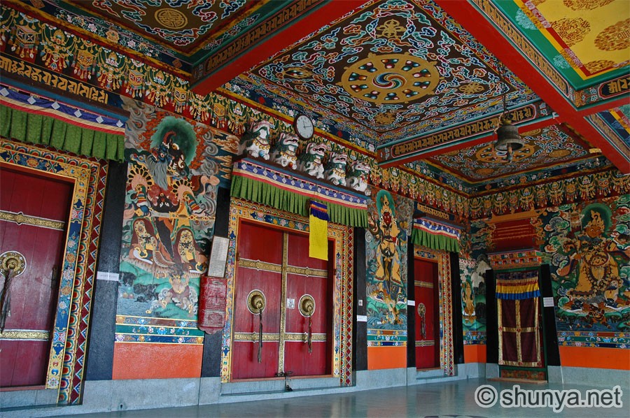 |
Monks at Rumtek monastery 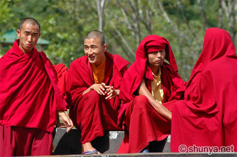 |
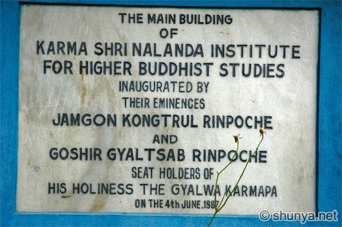
Karma Shri
Nalanda Institute 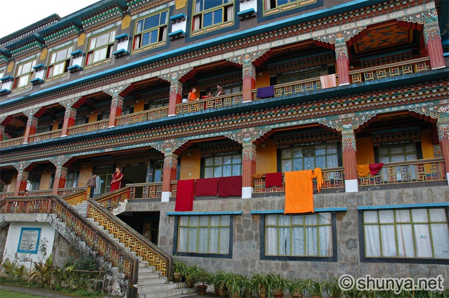 |
Visitors chatting up monk 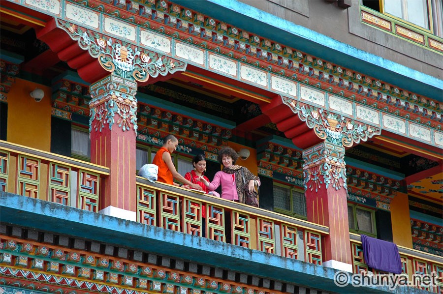 |
View from golden pagoda 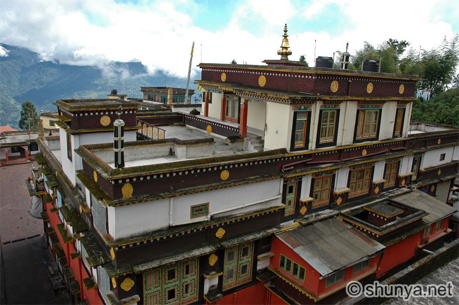 |
Designed in collaboration with Vitalect, Inc. All rights reserved. |